Mentryville
Map Explore
Photos
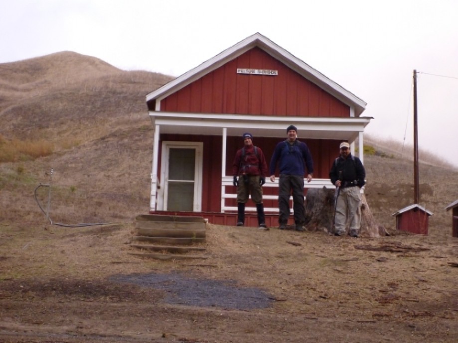
Mentryville School House
Well at Johnson Park
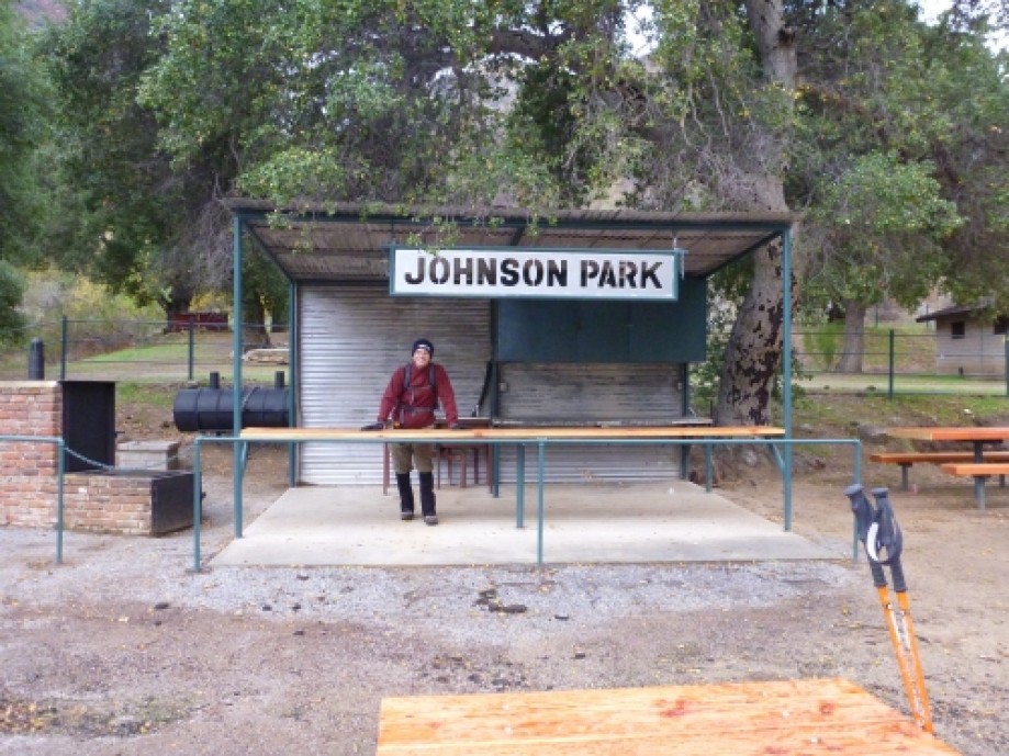
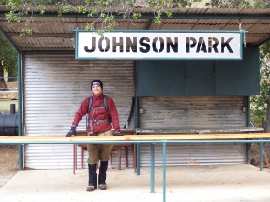
Johnson Park
Tom in the shelter
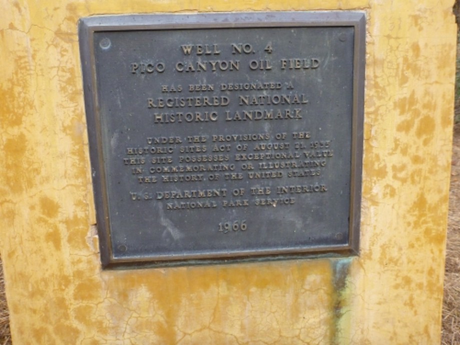
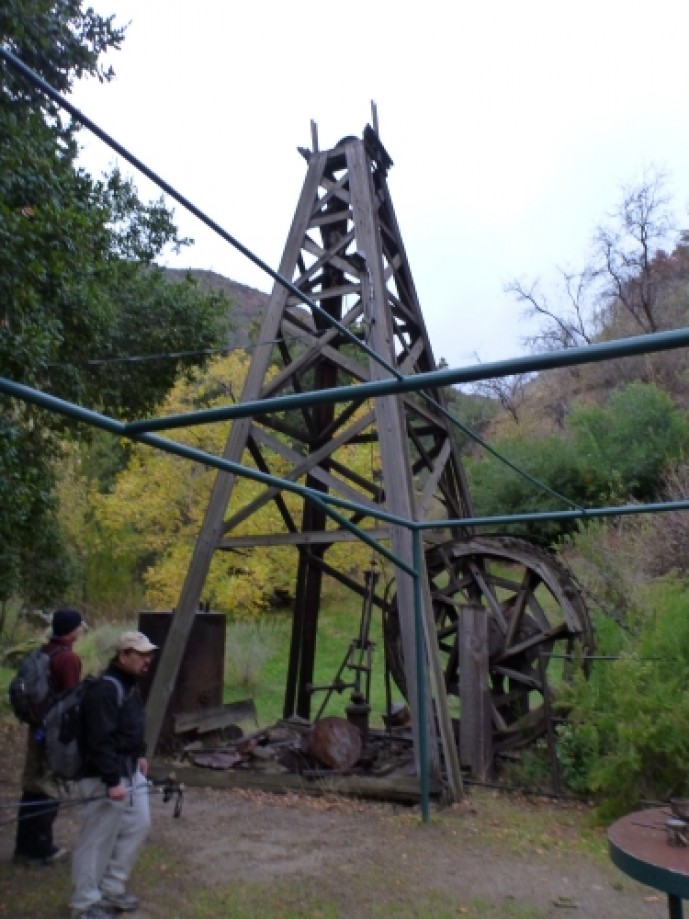
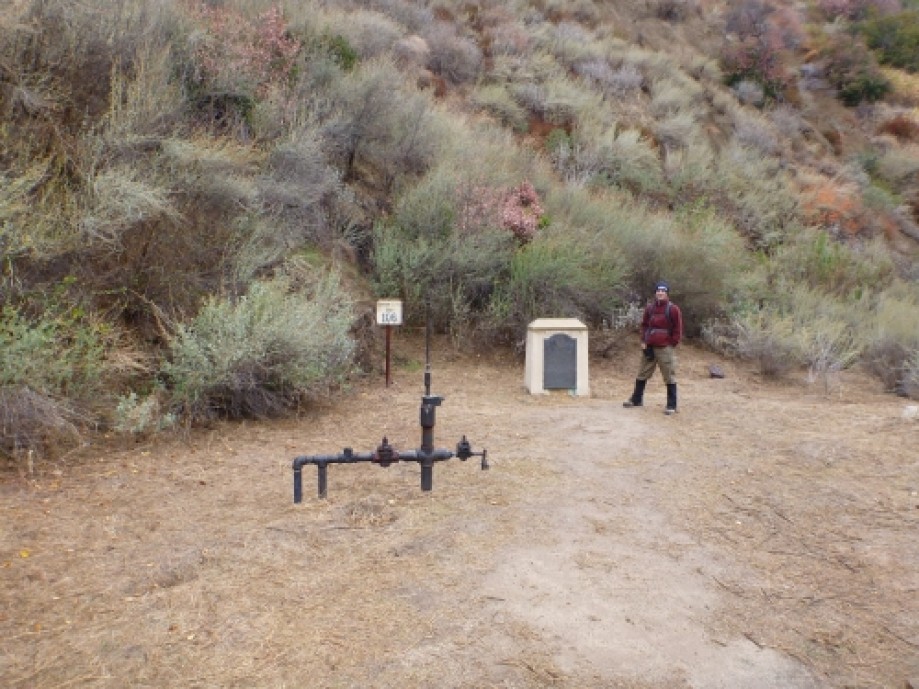
Pico Well #4
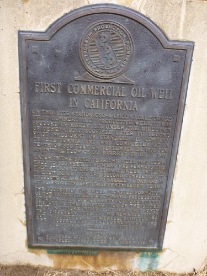
First Commercial Oil Well
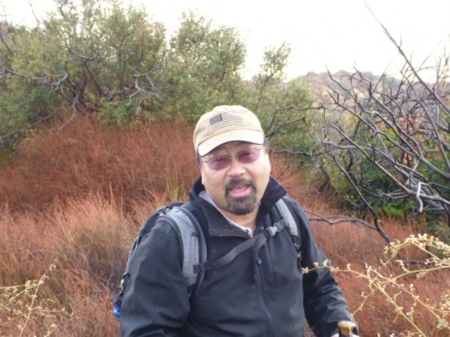
Tom posing for the pic
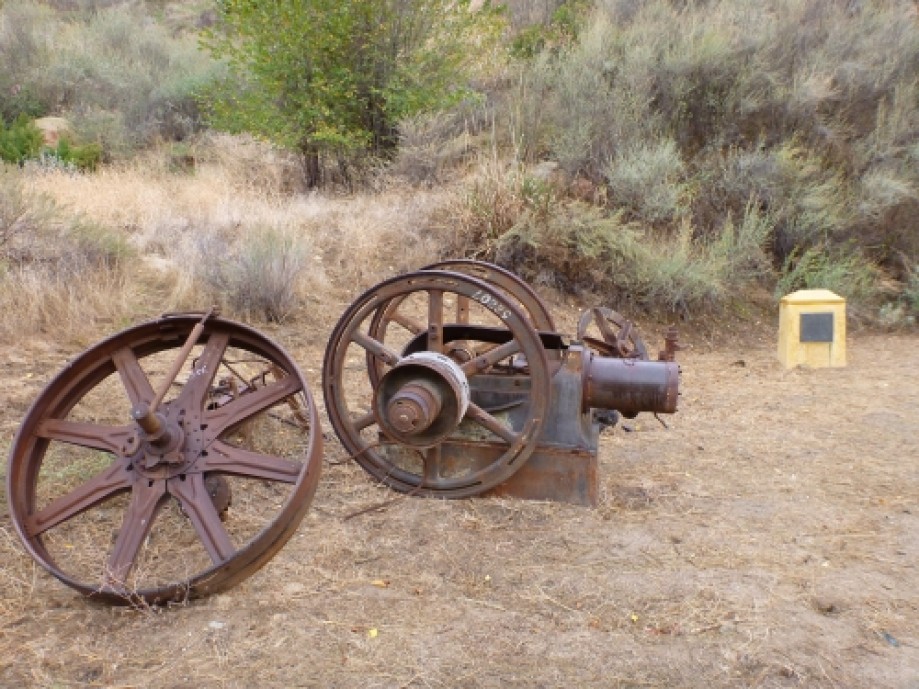
Part of steam engines at Well #4
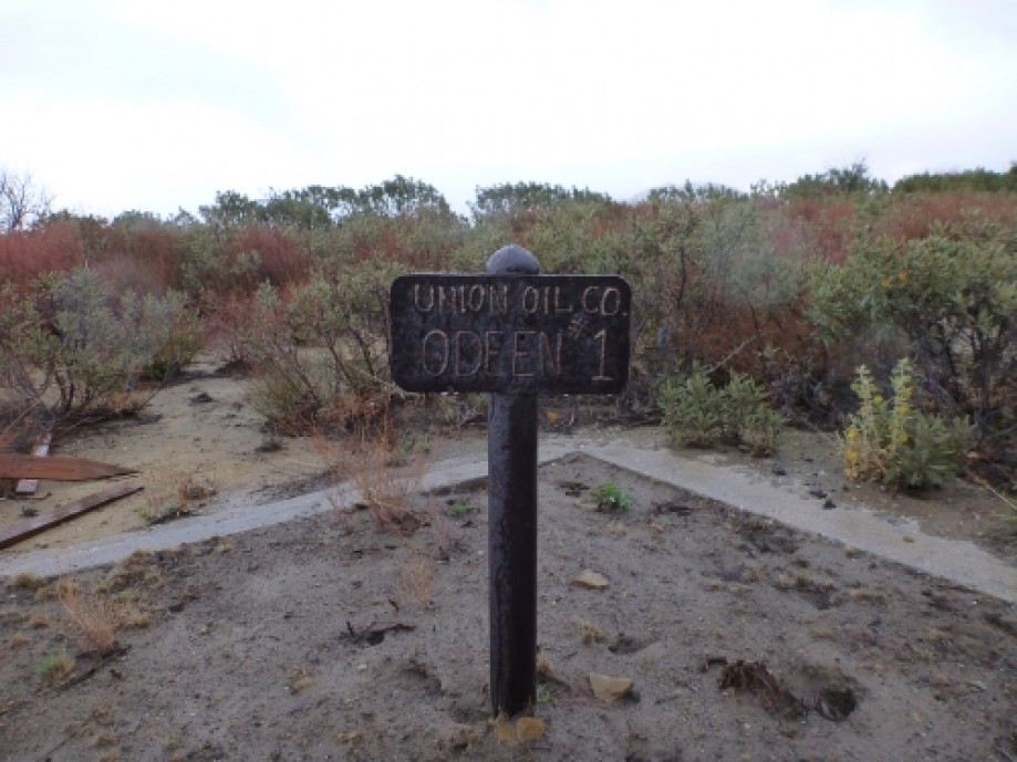
Odeen Well
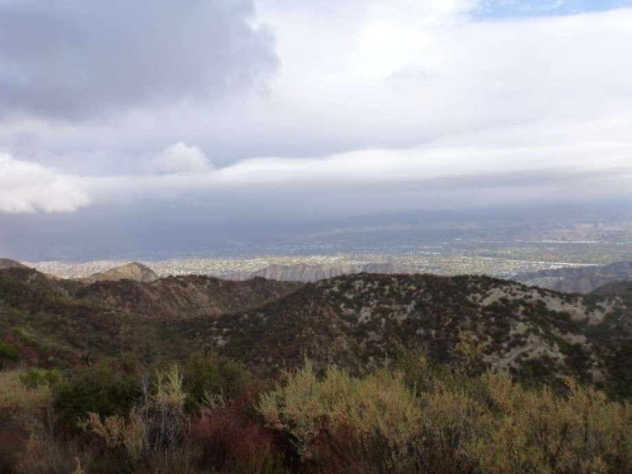
Santa Clarita in the sun
Where the trail ends.
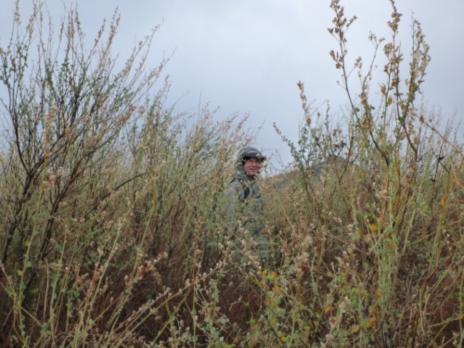
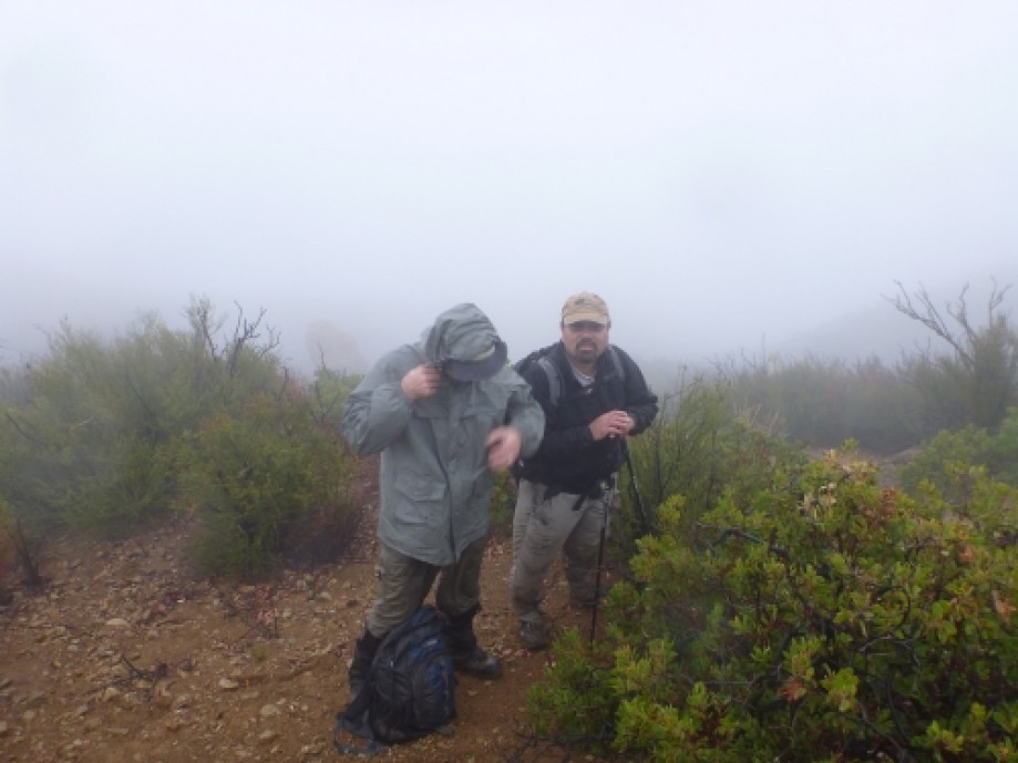
Jim . . . you gotta be kidding me
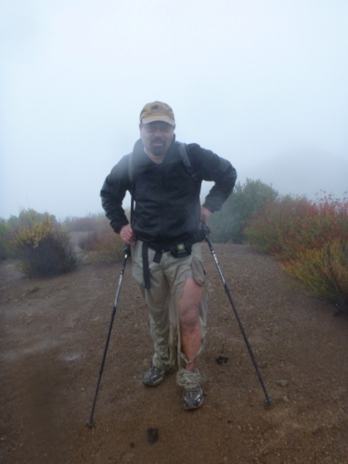
Mountain Jim . . .
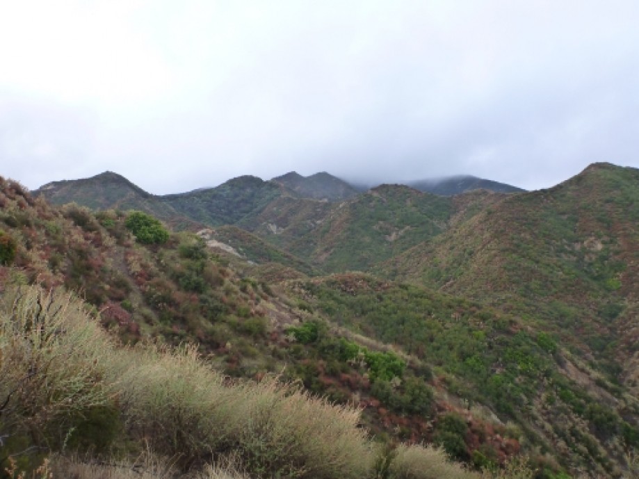
Cloud covered ridge is our route
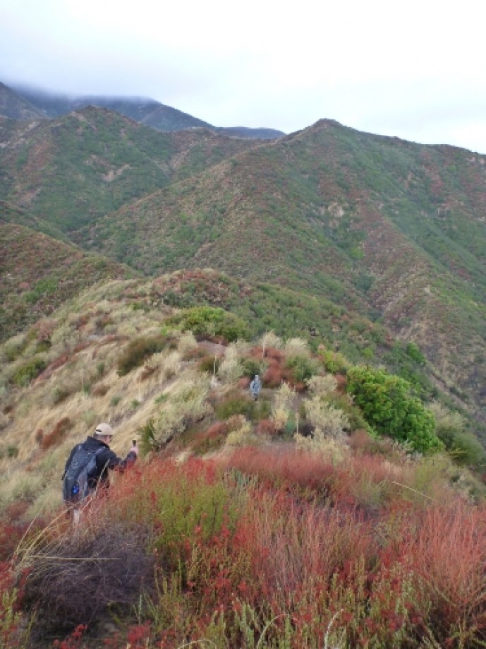
Tom leading the way
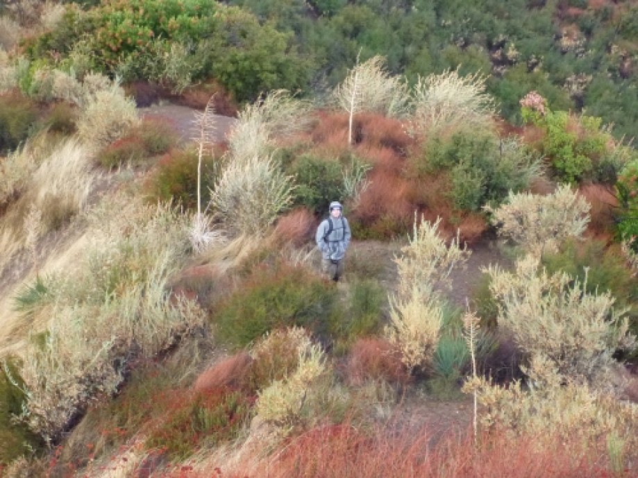
Tough going
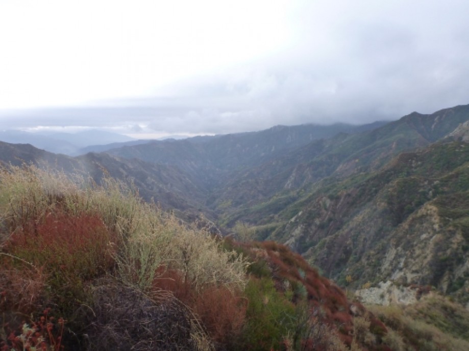
Stormy canyon
Decision time at 3,100 feet
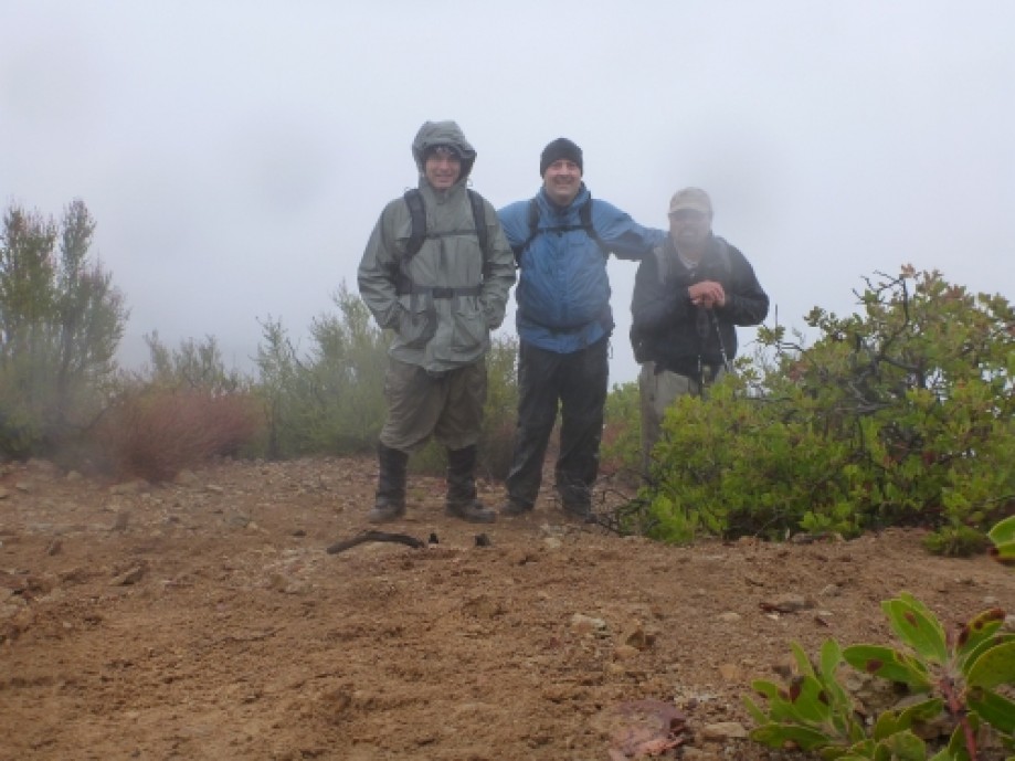
The turn-around
Chart (Mouse wheel zooms in)
Story
On 11-20-11 Tom, Jim and I set out to cross from Mentryville (near Stevensons Ranch in Pico Canyon) to Santa Susana Pass (Chatsworth) in the Santa Susana Mountains; a 14 mile route with a few cross-country ridge segments. Poor visibility in a heavily vegetated cross-country segment forced a turn-around after 5 miles. Our route was just shy of 10 miles (only part of my GPS track uploaded). The trail follows the road, until the road ended. However, bad weather and very steep canyon walls threw off my GPS track. You can see the shift on the map.All-in-all, an enjoyable wet slog through the bushes. Have to go back in the future, when it is dry, to work on the route.