GoPro Test1 - Rocky Peak Fire Rd
Map Explore
Photos
GOPR0012.JPG
GOPR0125.JPG
GOPR0027.JPG

GOPR0030.JPG
GOPR0031.JPG
GOPR0032.JPG
GOPR0033.JPG
GOPR0036.JPG
GOPR0106.JPG
GOPR0045.JPG
GOPR0097.JPG
GOPR0063.JPG

GOPR0079.JPG
GOPR0076.JPG
GOPR0073.JPG
GOPR0074.JPG
GOPR0075.JPG
GOPR0077.JPG
GOPR0078.JPG
GOPR0080.JPG
GOPR0098.JPG
GOPR0040.JPG
GOPR0107.JPG
GOPR0039.JPG
GOPR0038.JPG
GOPR0037.JPG
GOPR0035.JPG
GOPR0026.JPG
GOPR0119.JPG
Chart (Mouse wheel zooms in)
Story
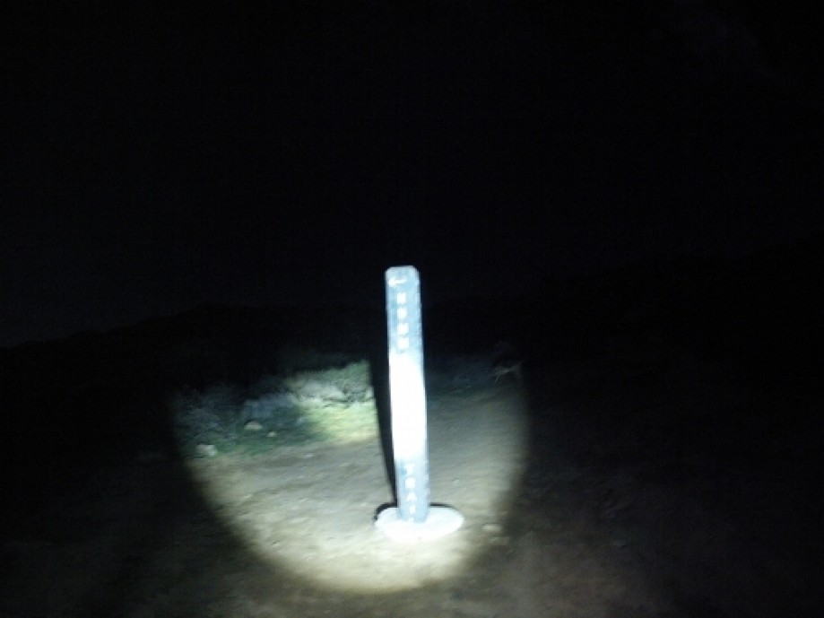
This was a test of my GoPro Hero2 to see how the non-geocoded time-lapse photos registered with my Everytrail track. Once uploaded, it took me a few attempts to place the photos. The problem was that I couldn't tell which end point was the beginning and which was the end. The result was that all of my photos kept clustering in one location. I had success by registering the mid-point photo and using that as the reference for all others. Next time I'll make sure to do this as a day-light trip.