Shrewsbury Sno-Birds Trail System
Map Explore
Photos
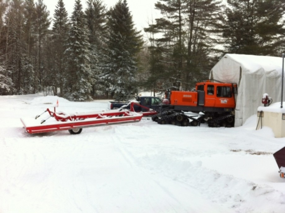
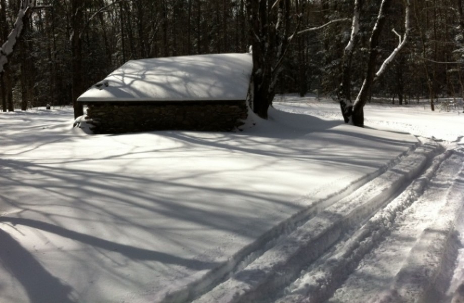
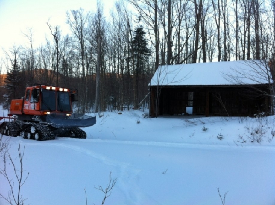
Groomer Shed
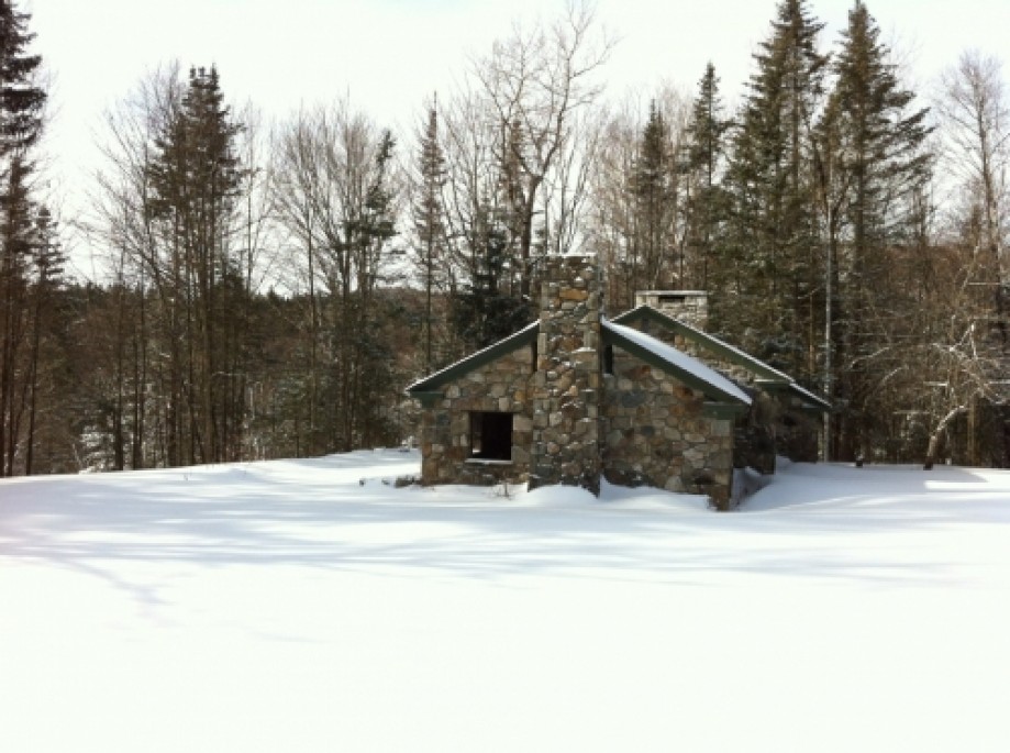
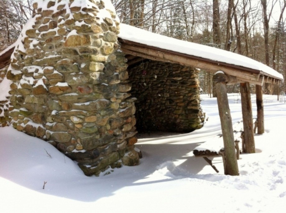
Stone House
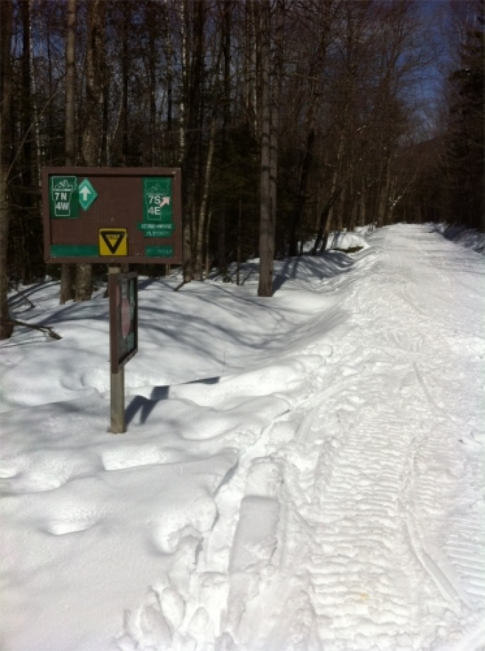
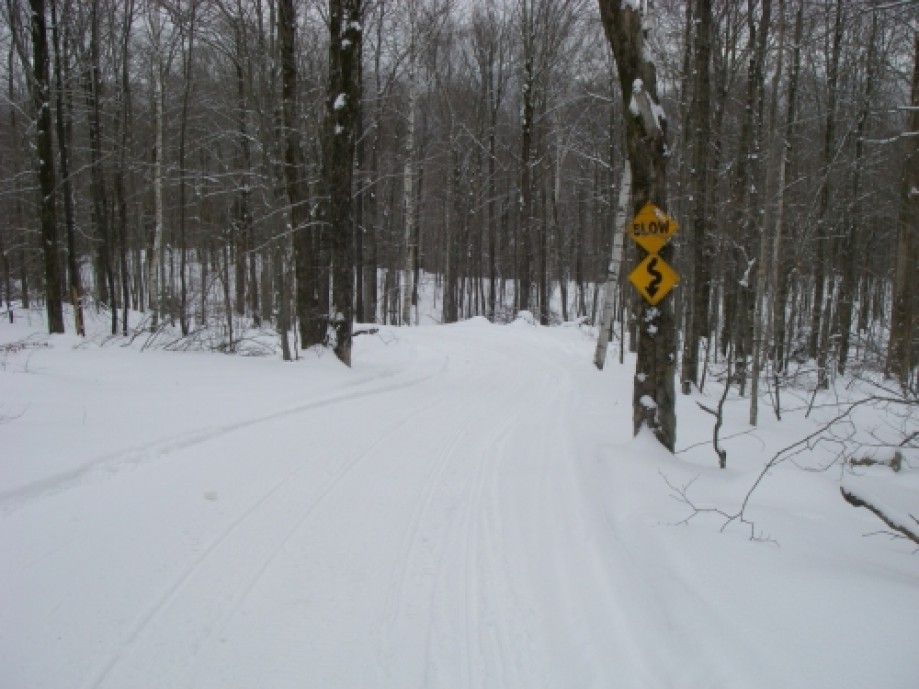
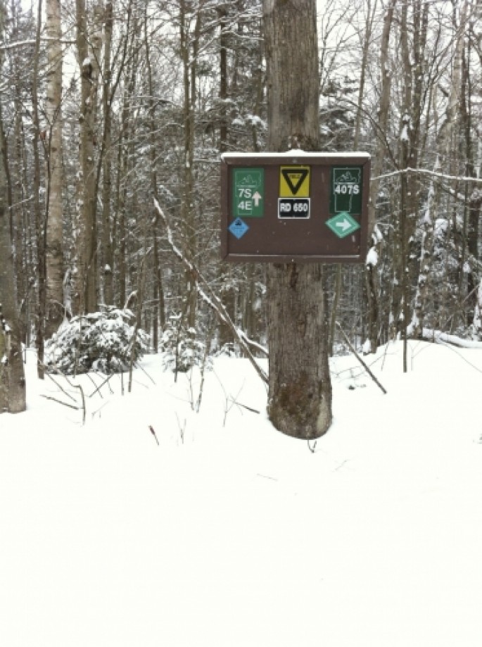
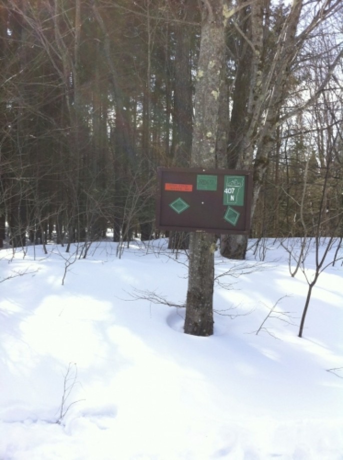
sign - 4&7 takes a sharp turn
4&7 takes a sharp turn
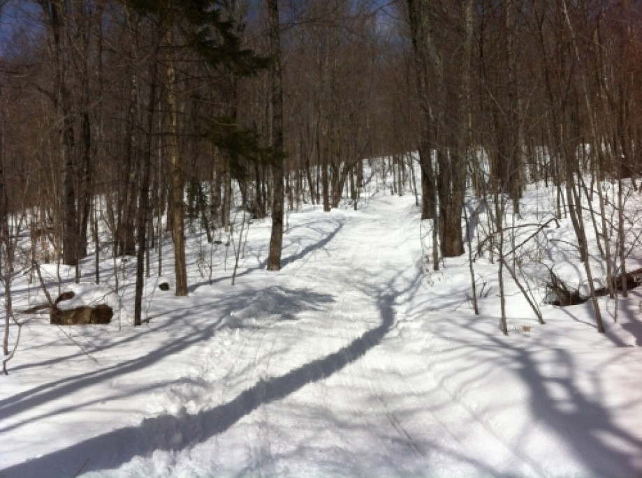
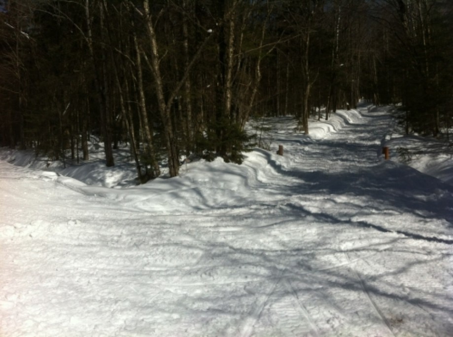
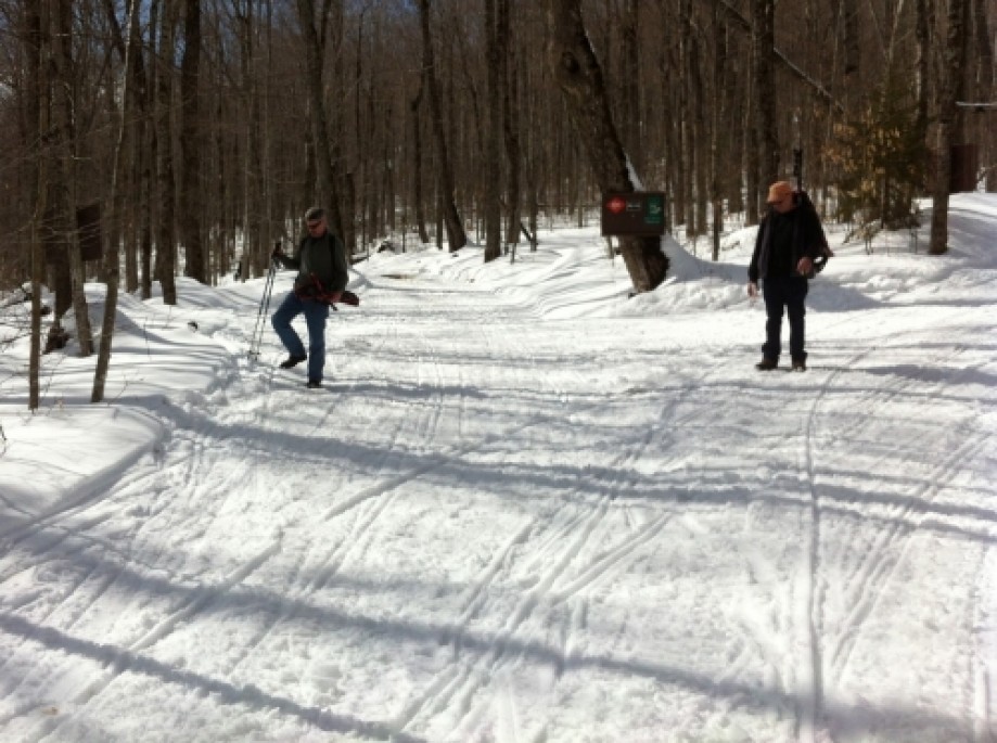
Jockey Hill
Clement Shelter from the trail
Clement Shelter
Southern most section of 407 on Gilman Road
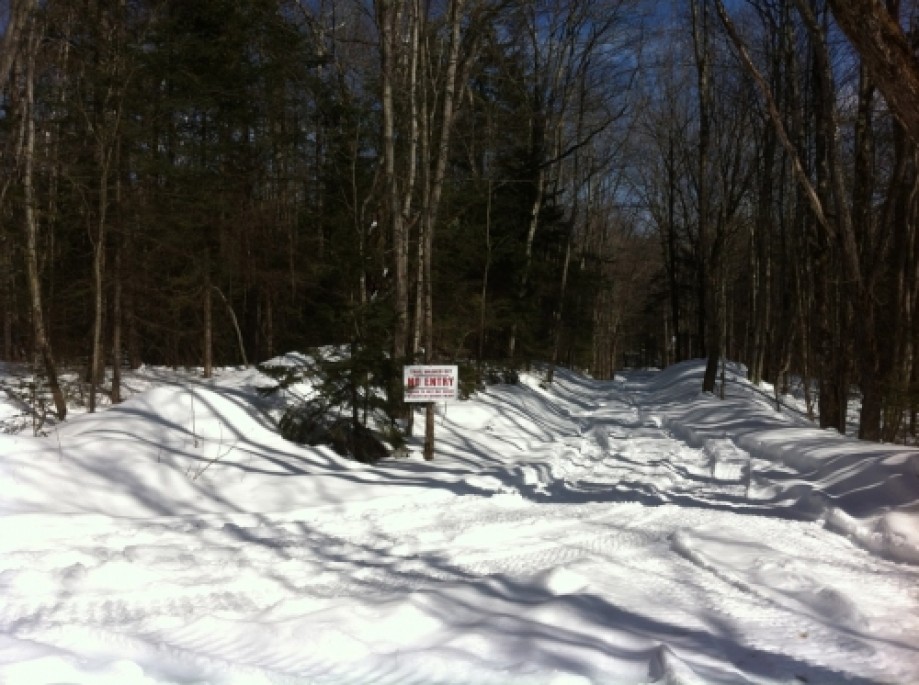
Southern Most Part of 407 Closed
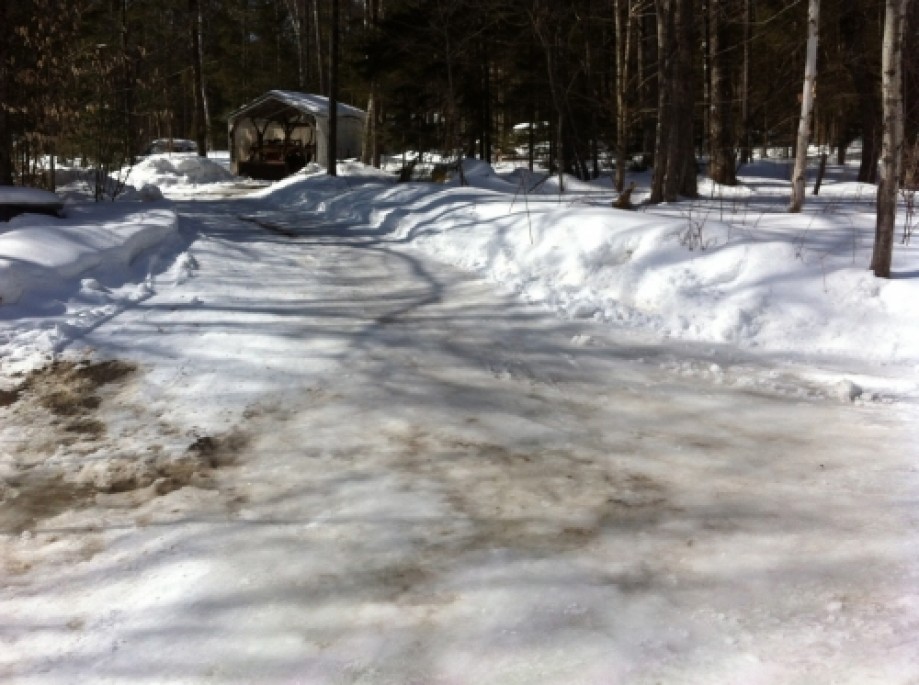
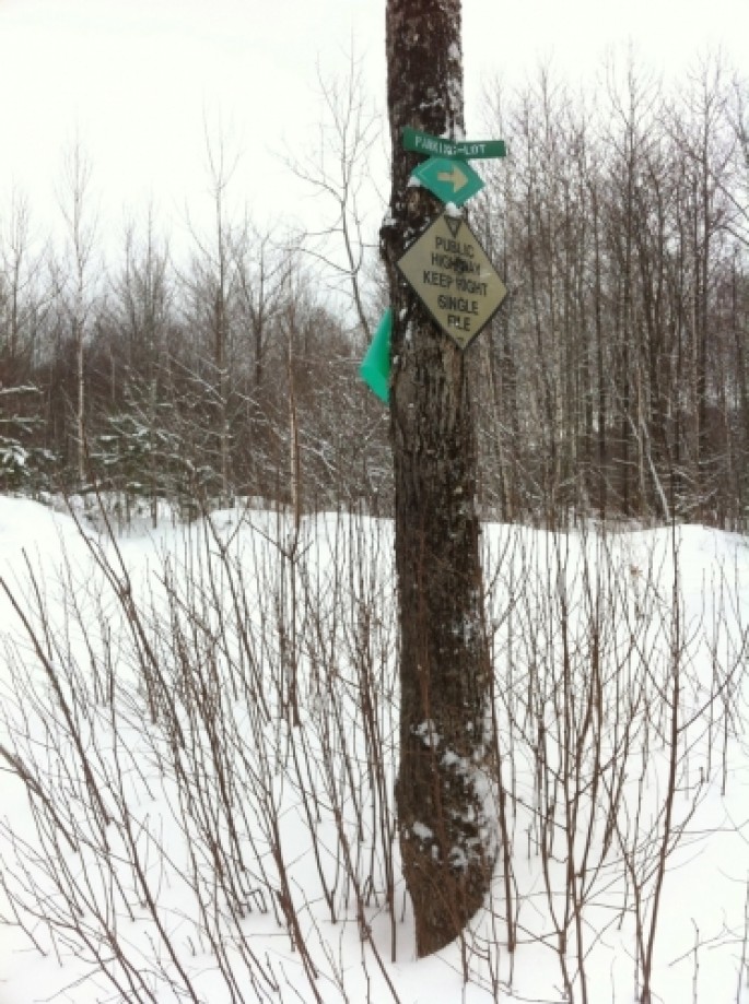
407 Junction with Wheelerville Road
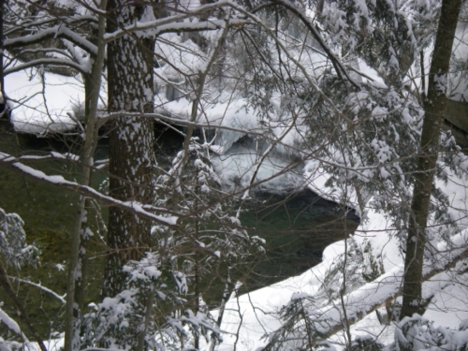
McLaughlin Falls
Gate 1
Gate 2
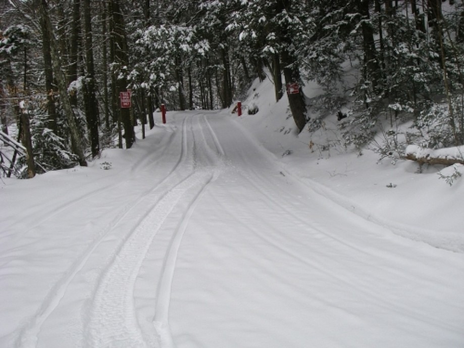
Top of the Hill
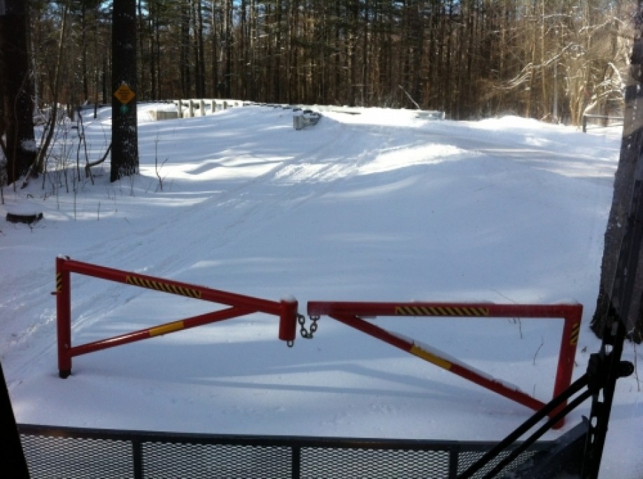
Gate 3
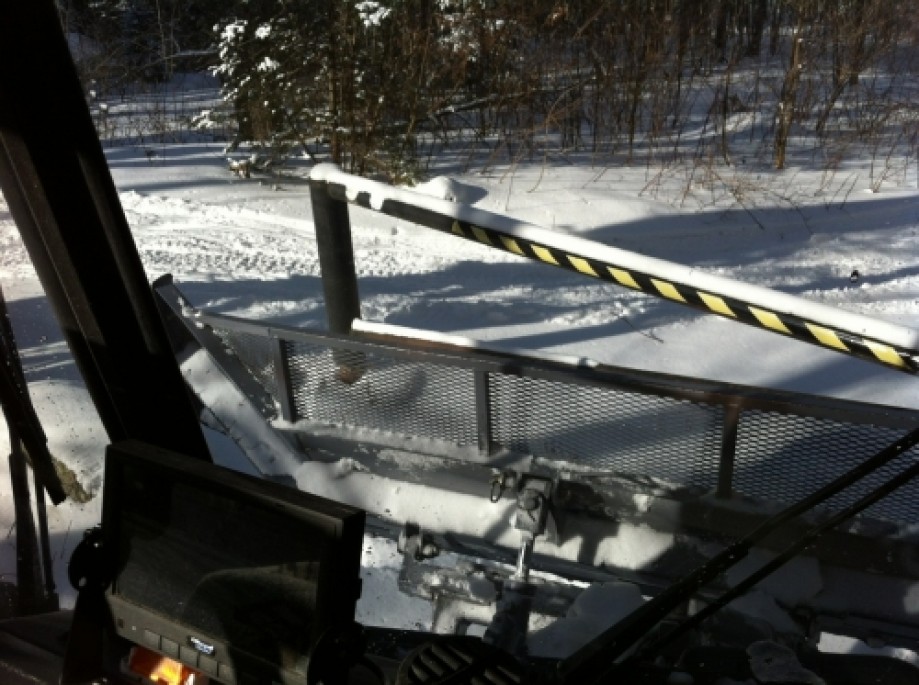
Gate 4
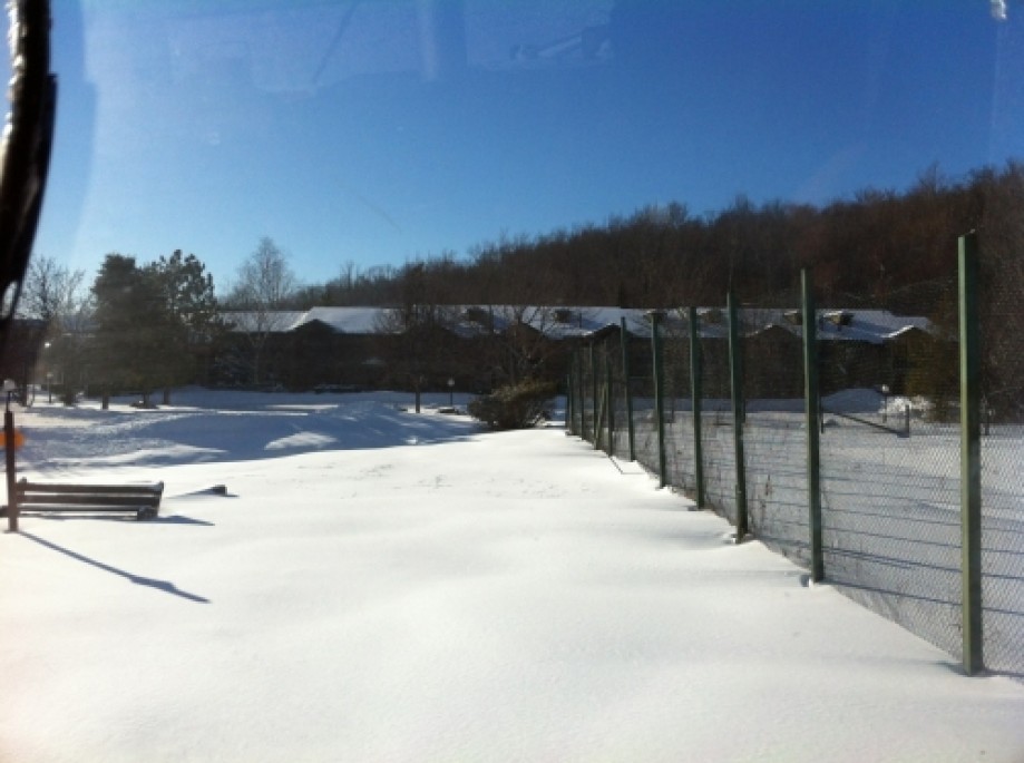
Cortina Inn
State Highway Maintenance Shed
North Junction of Corridors 4&7 and 407
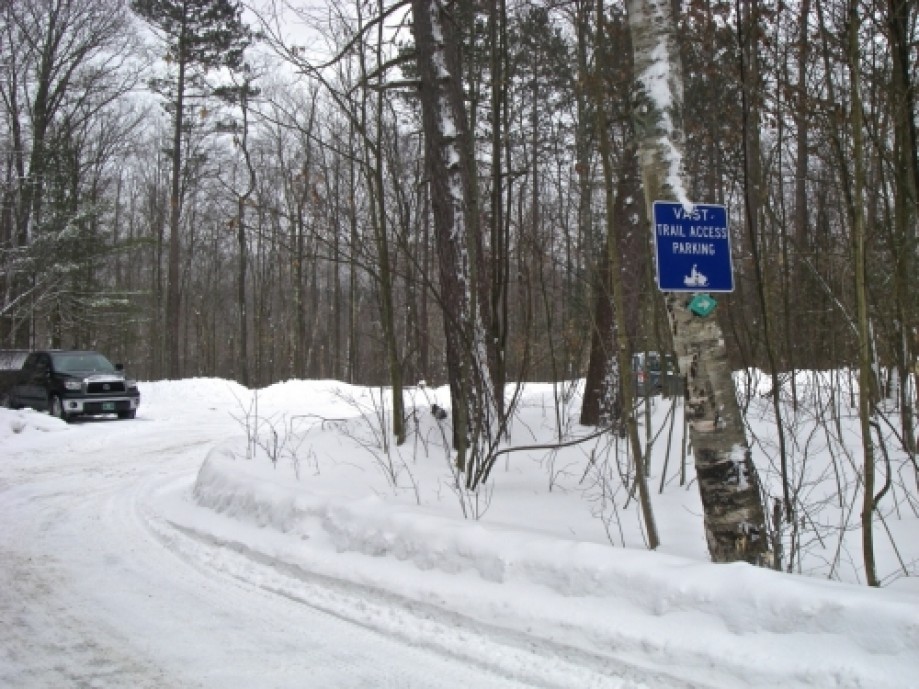
Notch Road VAST Parking Lot
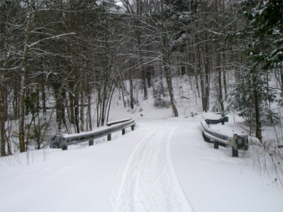
Bridge on Notch Road
Junction with Notch Road Parking Lot Feed Trail
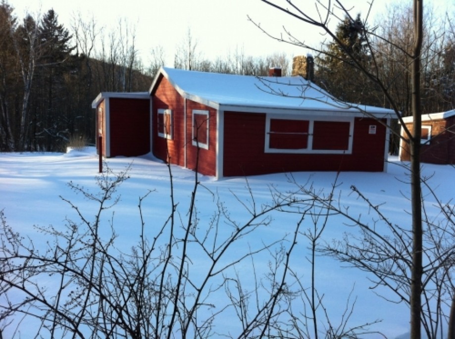
Small Red Camp
Large Clearing
Western end Connector Trail.
Horse Barn
Eastern End of Connector Trail.
Chart (Mouse wheel zooms in)
Story
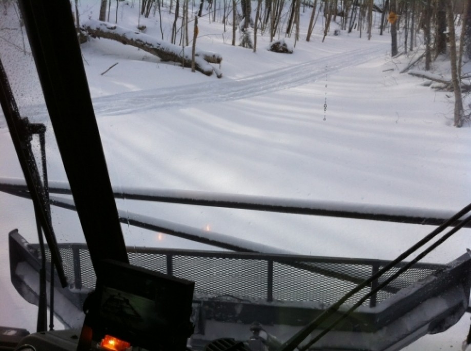
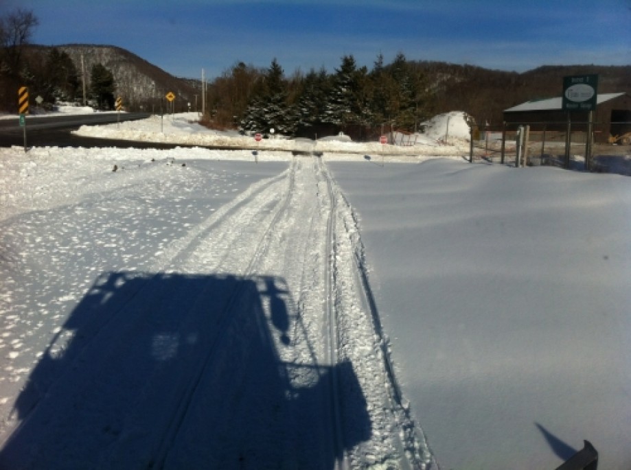
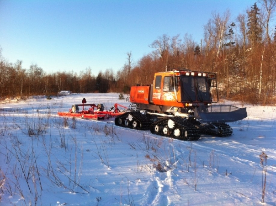
With the intent of making a digital map of the Shrewsbury Sno-Birds Snowmobile Club's trails, I rode along with Trail Master, Roy Arthur on his grooming trip around the 36 miles of the club's trails in their amazing articulated track vehicle called The Tucker 2000. Conditions were difficult for the groomer because the icy base left by the January thaw. Roy informed me this was the worst he had seen it in all his years of grooming. Hills were the problem and were most difficult to climb if they were south facing slopes where the thaw had polished the ice to a glassy finish. In such locations new powder on top only acted like a lubricant. With so little traction, the Tucker's tracks would easily spin so Roy, and I had to make regular use of the front mounted winch to pull the Tucker and the 1 1/2 ton drag up the hills. This slowed our progress considerably to the extent that we were not able to groom all of 36 miles of trails in both directions as is usually done. Despite the conditions it was a privilege to witness such an amazing machine in action and to travel through such beautiful country!This first trip tracked most of the trail system but due to technical difficulty (primarily my attention being diverted to helping with the winching and photographing landmarks), three sections of trail were missed in the track. I re-tracked them on cross-country skis and used the results to modify the original track. Links to the 3 individual tracks are below:Brewers Corner SouthBrewers Corner NorthMcLaughlin Falls SouthI added two sections not tracked in the groomer trip, again tracking on skis. These are the Old Girl Scout Camp Parking Area access trail and the connector trail between the two main corridors in the Clement Shelter vicinity.Finally to complete the trail system I drew in the closed trail at the southern end of 407 which was possible because the trail follows a road that is visible on the map.
For more information about the Shrewsbury Sno-Birds see their website. Also see:Coolidge State ForestCoolidge Winter TrailsAitken State Forest
For more information about the Shrewsbury Sno-Birds see their website. Also see:Coolidge State ForestCoolidge Winter TrailsAitken State Forest