Sno-Bird Fill in #1
Map Explore
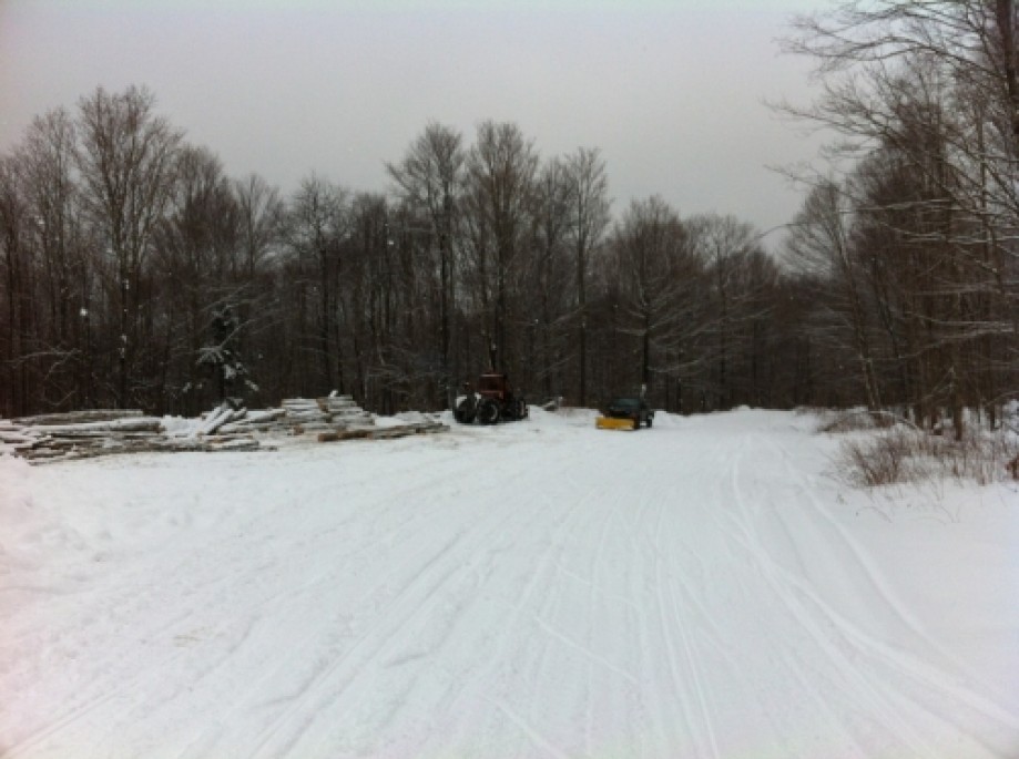
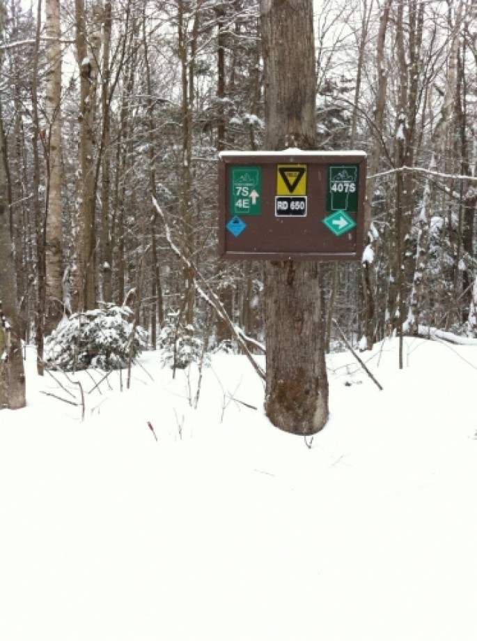
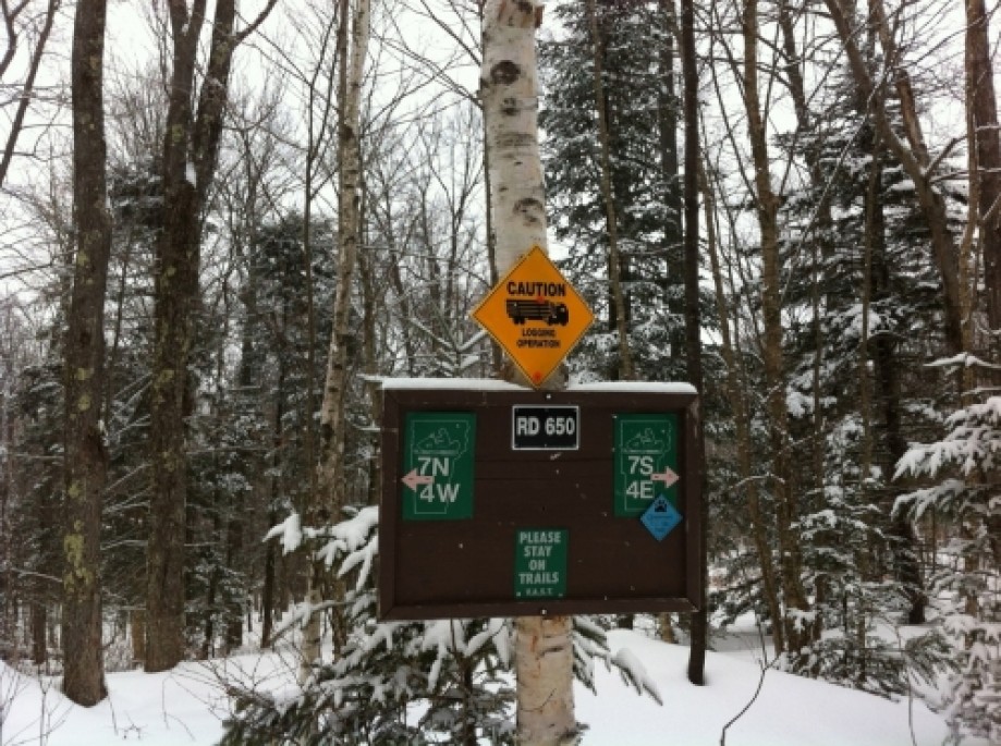
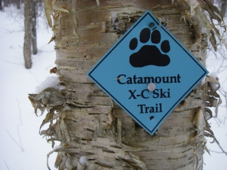
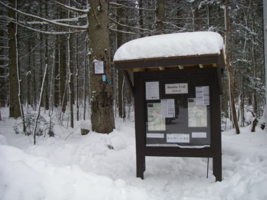
Chart (Mouse wheel zooms in)
Story
I've been attempting to make a GPS map of The Shrewsbury Sno-Birds VAST Snowmobile Club trails. I tracked most of them on a ride with the club's Trail Master in the groomer. It was an interesting trip that included winching the Tucker Sno-Cat and the 1 and 1/2 ton drag behind it up some of the hills. Unfortunately my GPS tracking app lost the signal or shut off when I wasn't looking so three spots were not tracked. This is the first fill in section for one of the missed areas.I was a bit too optimistic on the trail quality when I made my ski selection. It was well packed enough for skate skis thought the snowmobile traffic had churned up a few moguls. These were not the problem though my skinny race skis would get caught in the grooves in the trail but I must confess I was not in good skiing shape. No the real problem was that the majority of the trail I need to track was on a road a logging operation was plowing to access their skid yard so the minimal snow left in the road got mixed with the road gravel. This might not bother steel snowmobile skis but my super light-weight plastic bottomed ones couldn't stand much of it without tearing them up. I walked most of the road up and skied the edge on the way down. It was only about 1 and 1/2 miles one way so 3 miles round trip. The track only shows one way and once on Wheelerville Road I drove the remaining half mile in my car to gate 2.