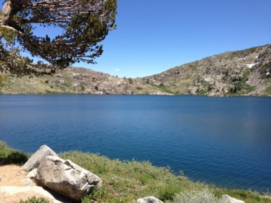
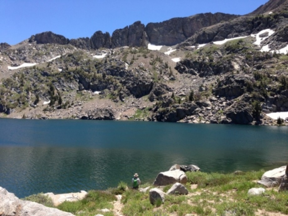
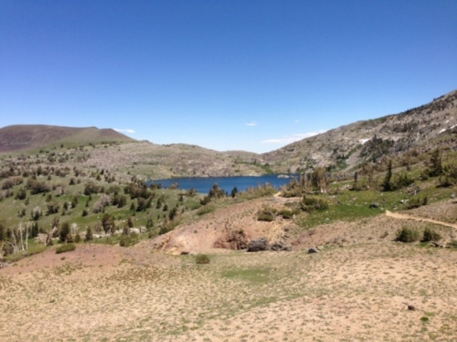
Lake Winnemucca and Round Top Lake
Map Explore
Photos
Chart (Mouse wheel zooms in)
Story
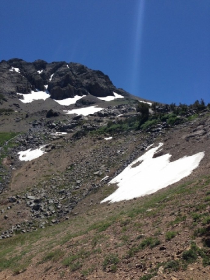
Carson Pass to Lake Winnemucca and Round Top Lake. Wildflowers were blooming but I liked last week's hike at Meiss Meadows, on the other side of highway 88, a lot better. Looks like my GPS lost signal in a few spots. The total distance was just over 7 miles. Elevation starts at around 8,500 feet at Kit Carson Pass Information station, climbs to around 9,000 for Lake Winnemucca, and 9,350 at Round Top Lake.
Trails are well-marked, but make sure you stay on the right side at the fork. Pacific Crest trail goes to the left while Lake Winnemucca goes to the right.Sunscreen and mosquito repellant highly recommended
Trails are well-marked, but make sure you stay on the right side at the fork. Pacific Crest trail goes to the left while Lake Winnemucca goes to the right.Sunscreen and mosquito repellant highly recommended


