South Kaibab Trail (Cedar Ridge)
Map Explore
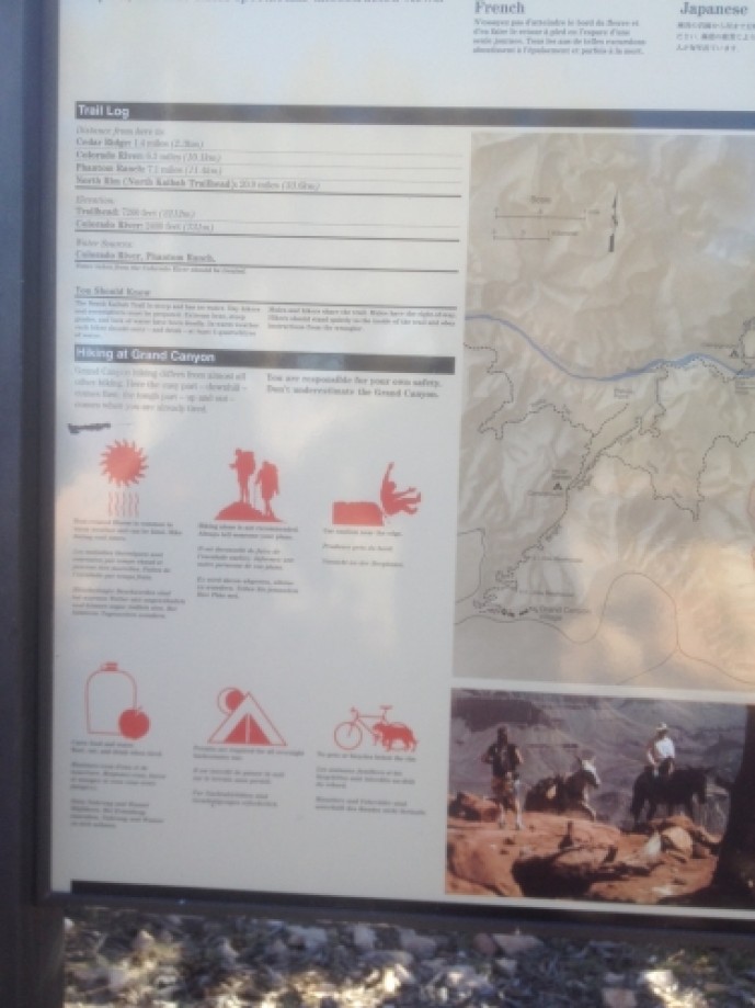
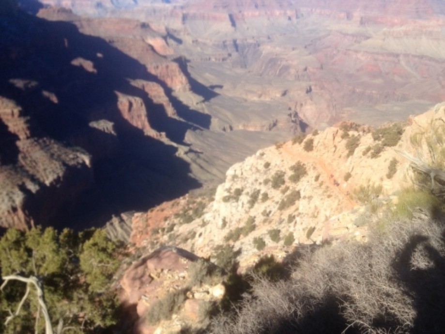
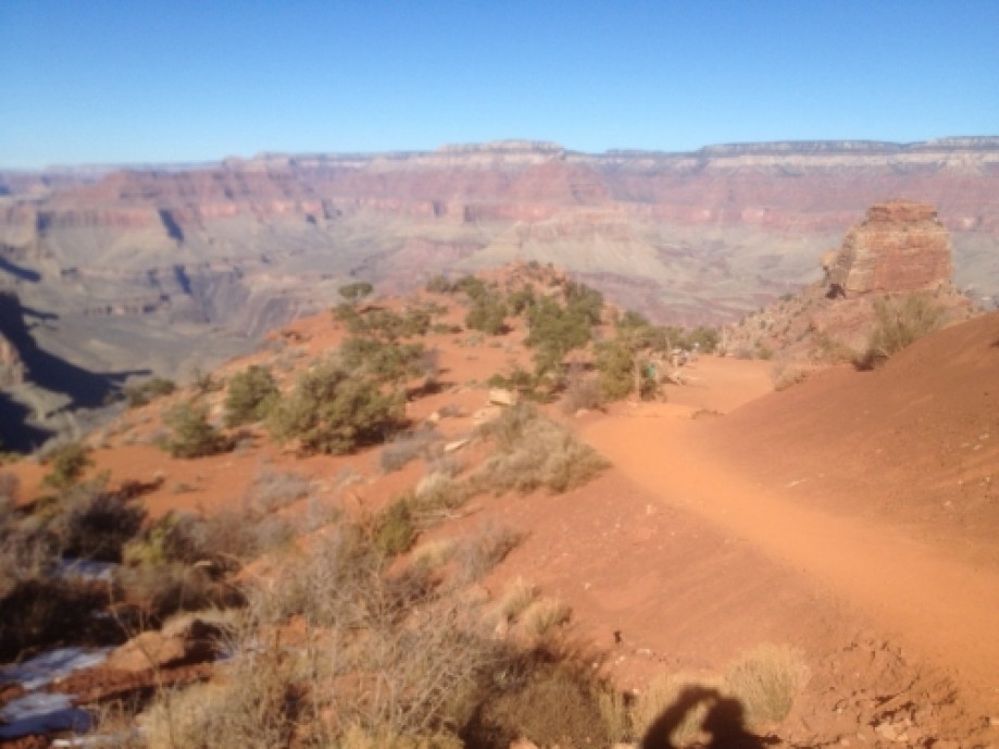
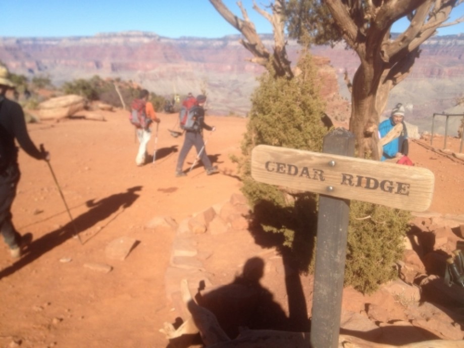
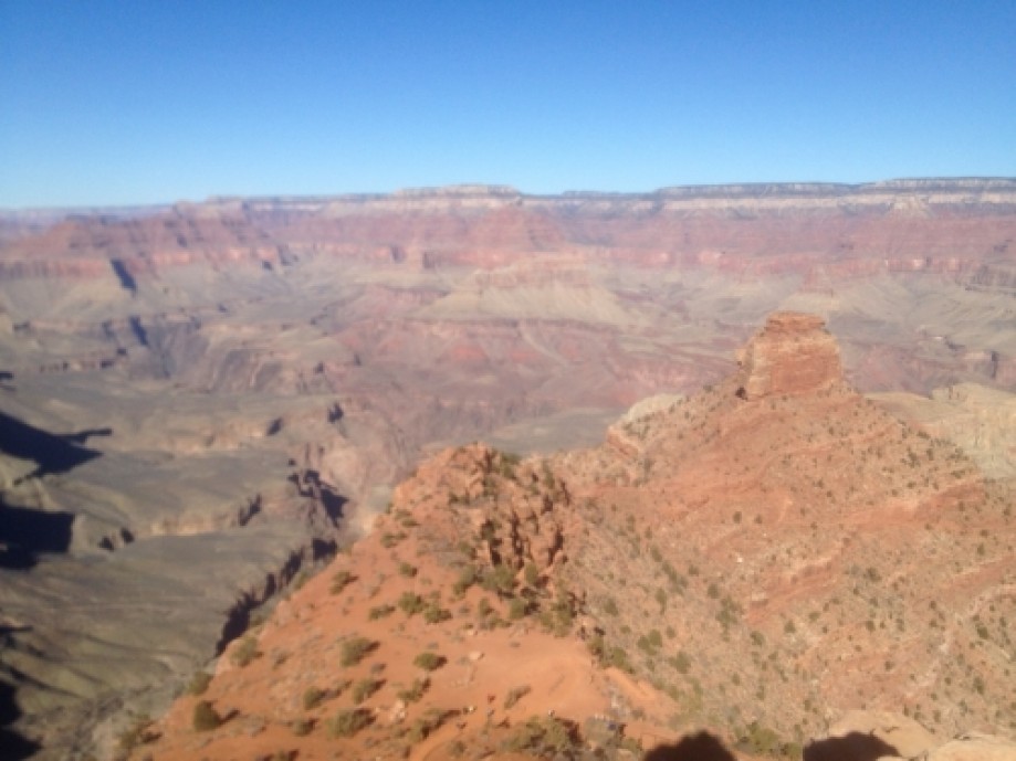
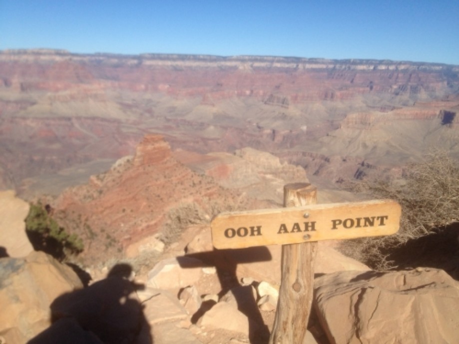
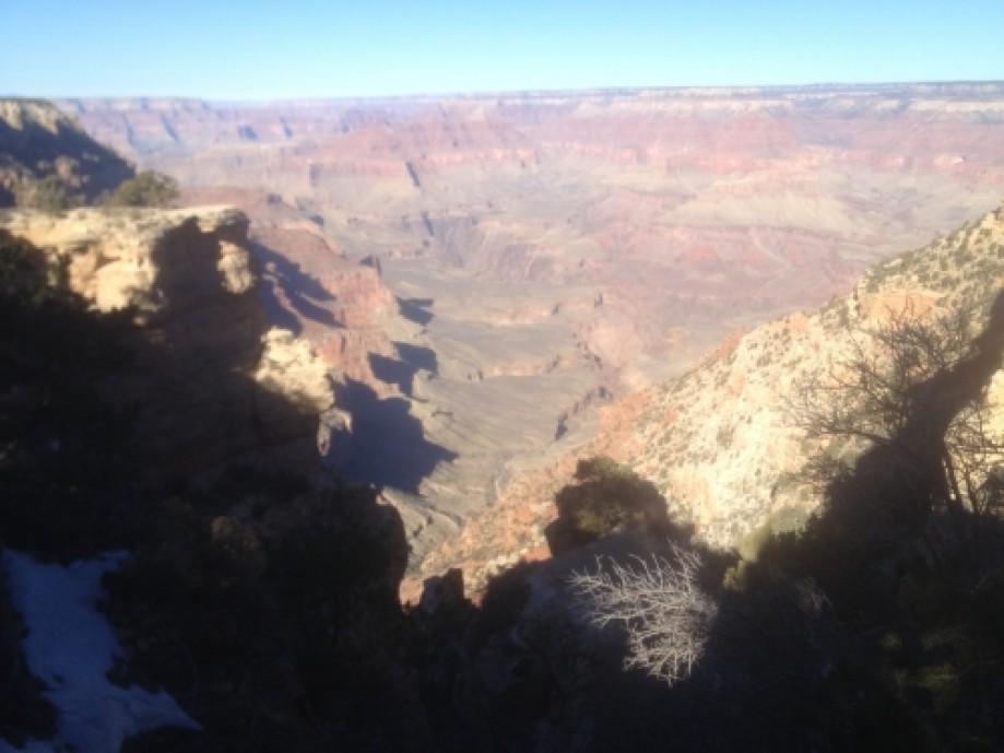
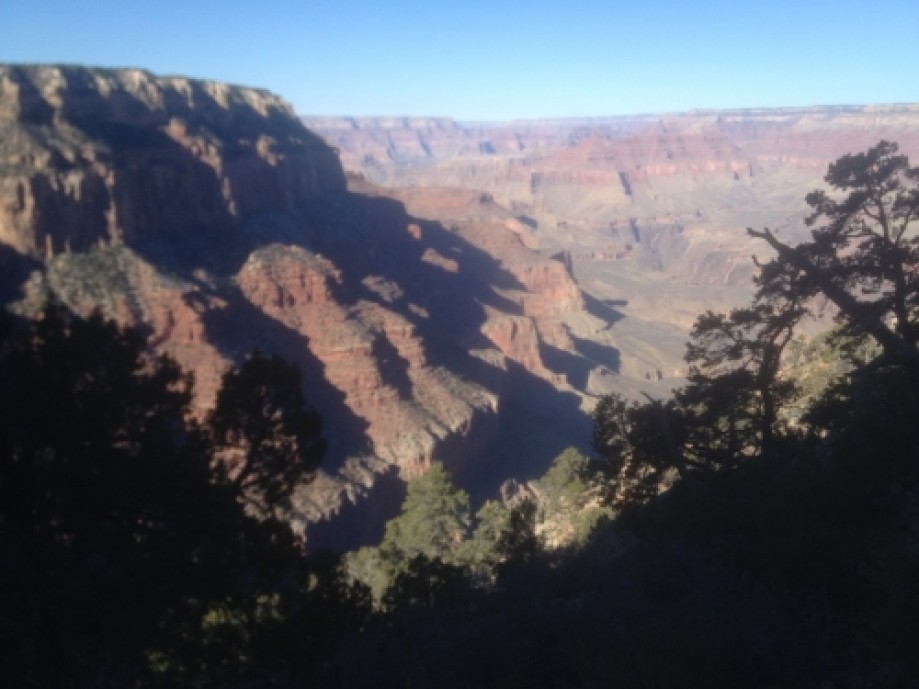
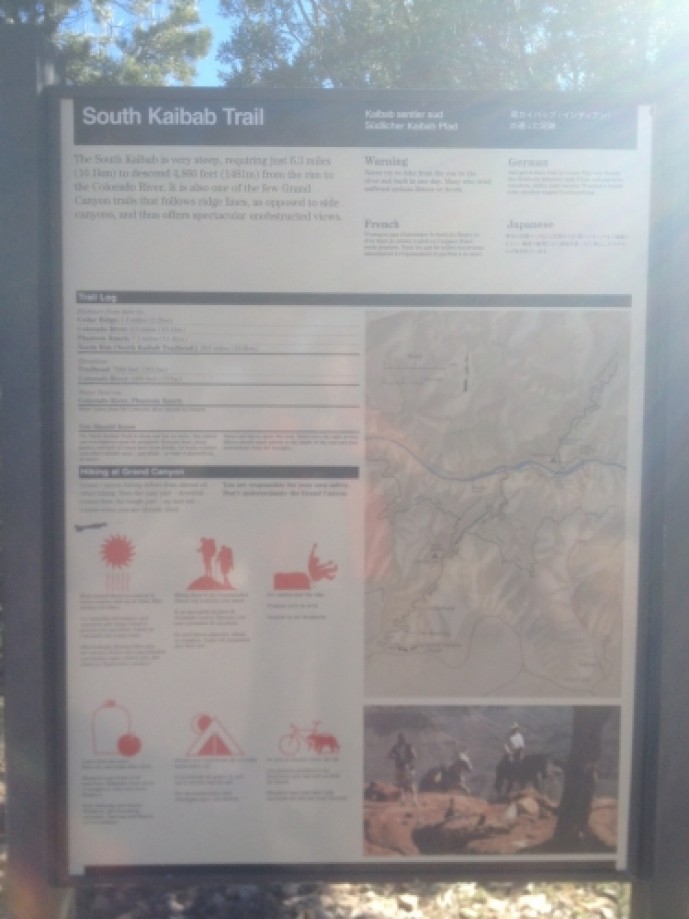
Chart (Mouse wheel zooms in)
Story
The South Kaibab Trail begins south of Yaki Point on Yaki Point Road.
Access to the trailhead is by shuttle bus (Kaibab Trail Route). Offers
day hikes that range in distance up to 6 miles (round trip). Best views
for a relatively short hike. Steep trail, no water, little shade. The hike begins with a steep descent through the Grand Canyon's upper rock layers: the Kaibab Limestone and Toroweap Formation. At about 1/2 mile one can observe an excellent example of a pustule dome. Here a small deposit of less dense more buoyant evaporite has punctured through a layer of harder limestone above. Through the first ¾ mile, the trail cuts through the eastern side of Pipe Creek Canyon until Ooh-ahh Point,
where the canyon walls turn around Yaki Point and the view of the
eastern canyon opens up. The point is named after a common reaction to
the view.From Ooh-ahh Point the trail turns around a few switchbacks in a natural break in the Coconino Sandstone
until Cedar Ridge, where the trail begins to level off slightly. Cedar
Ridge has toilet facilities and offers a place for hikers and mule
trains to rest.
Upper portion of the trail may be
extremely icy in winter or early spring.Hazards hikers can encounter along the South Kaibab Trail include dehydration,
sudden rainstorms, lightning, bootpacked ice, flash flooding, loose
footing, rockfall, encounters with wildlife, and extreme heat.