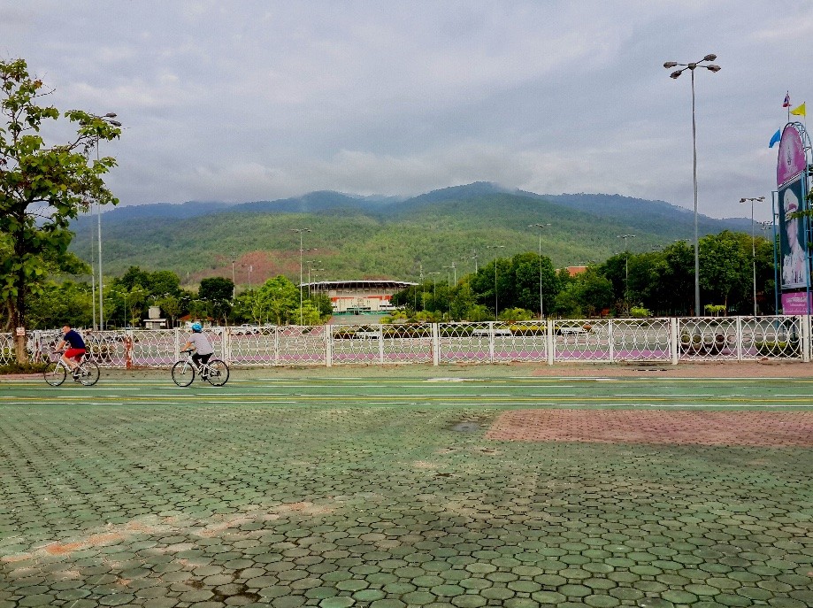
Group meeting point. 700 Year Stadium. Map location is wrong.
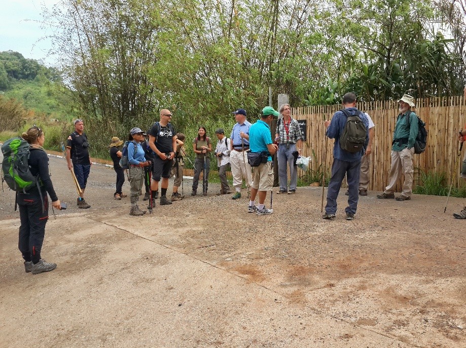
Beginning of hike, the group gathers round.
We'll be heading up this hill.
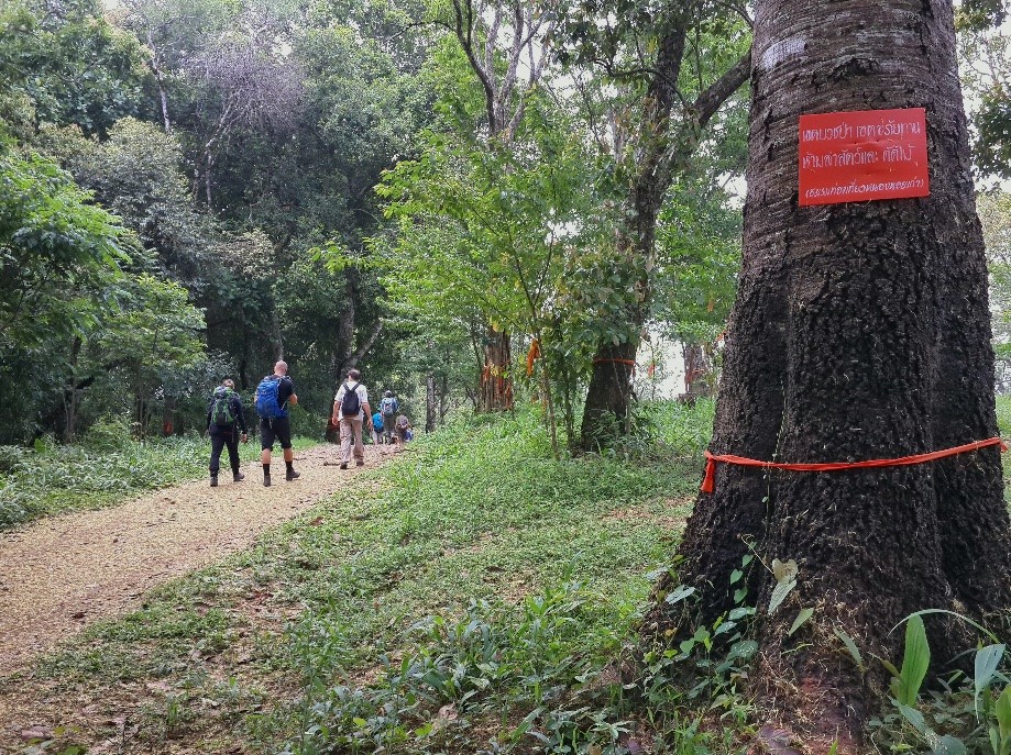
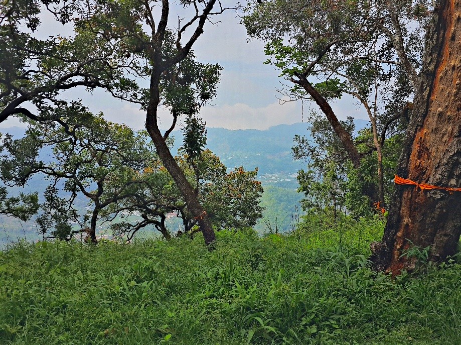
Near the peak is a large section of trees that have all been wrapped with sashes. The sign states that they've all be made monks and are sacred.
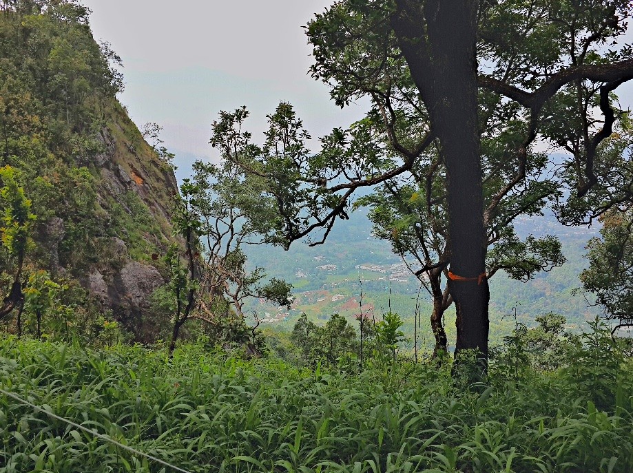
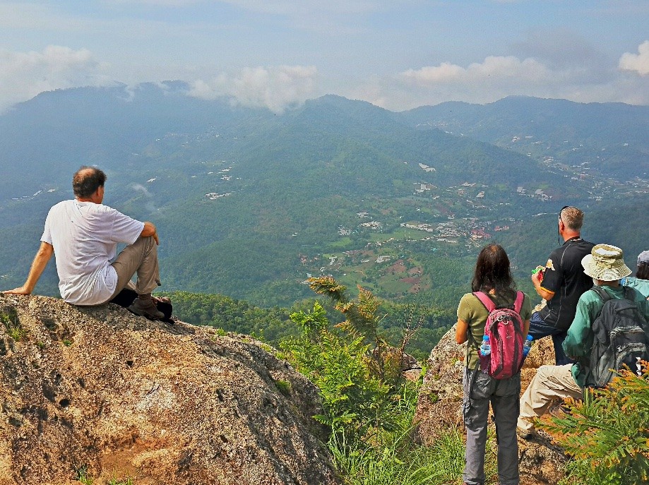
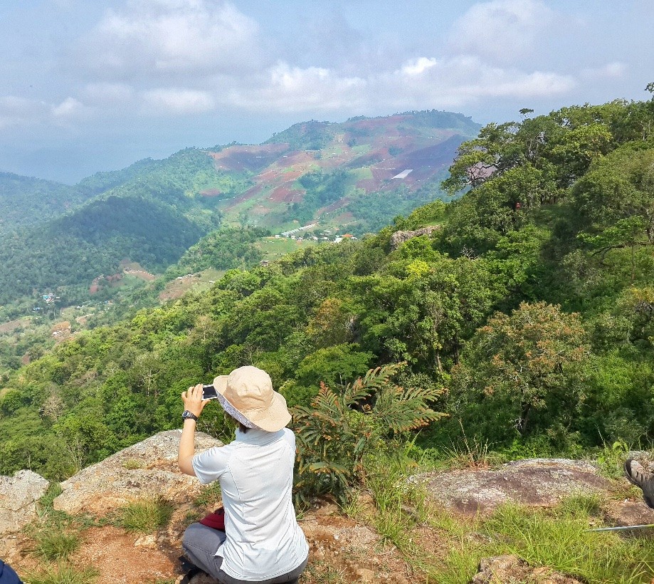
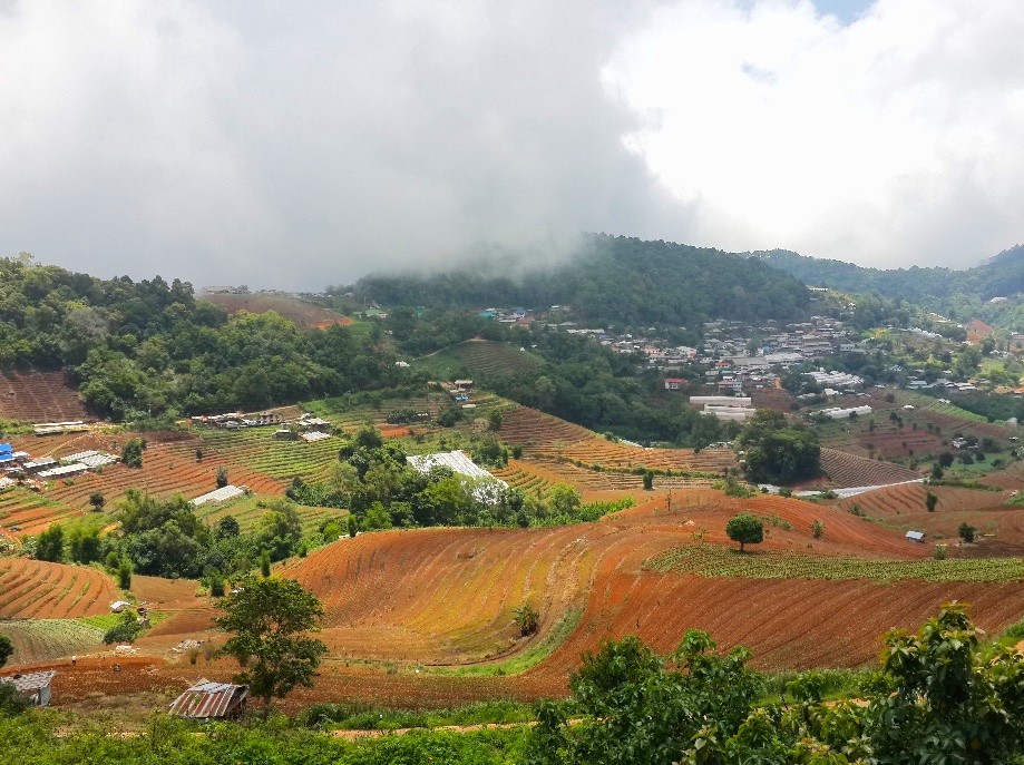
Before heading up to the top we get some views of the valley below.
Going to the top to the left.
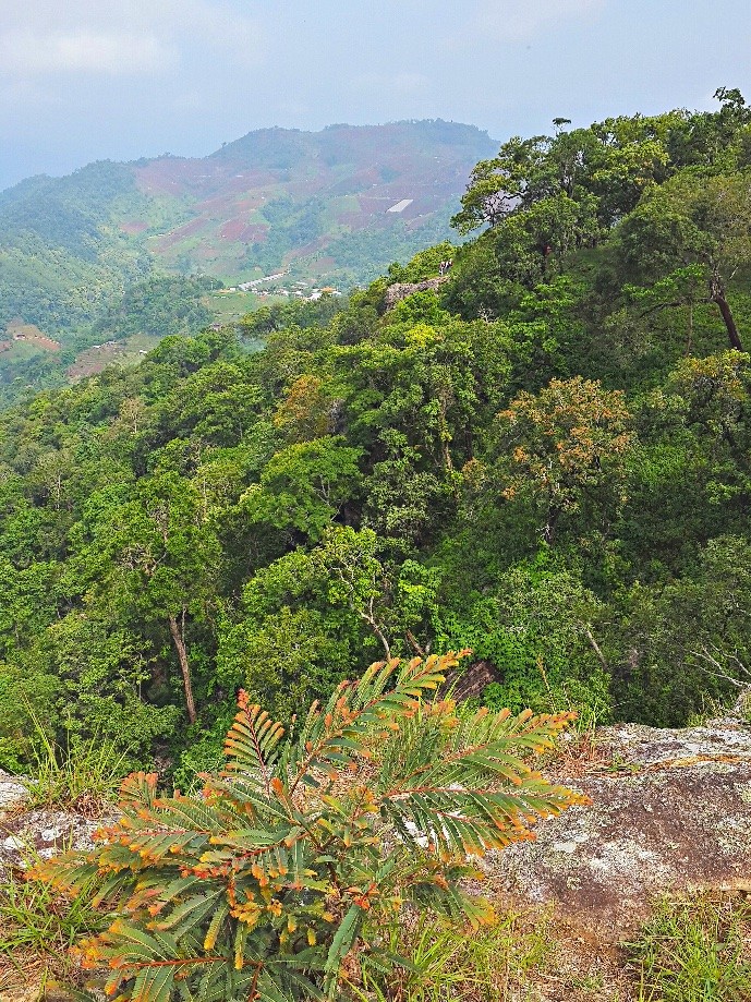
Toward Moncham village. There is a rock near the center that has some of our members standing on it. Too small to see at this scale.
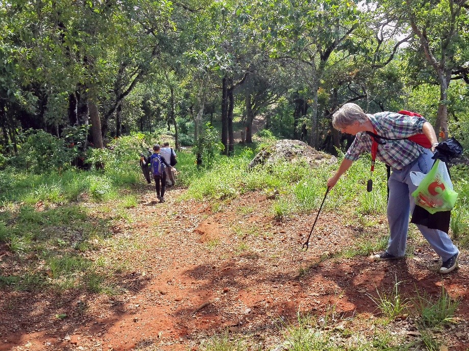
One of our Hike leaders, Michael, brought plastic bags and encouraged us to help clean up as we went along.
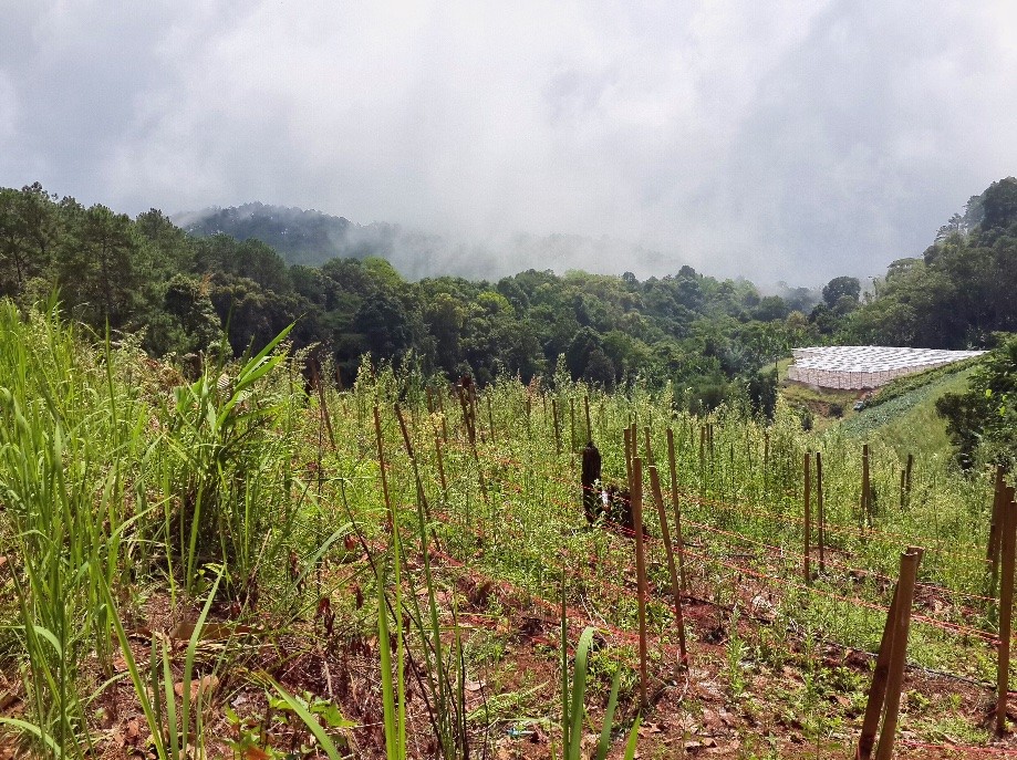
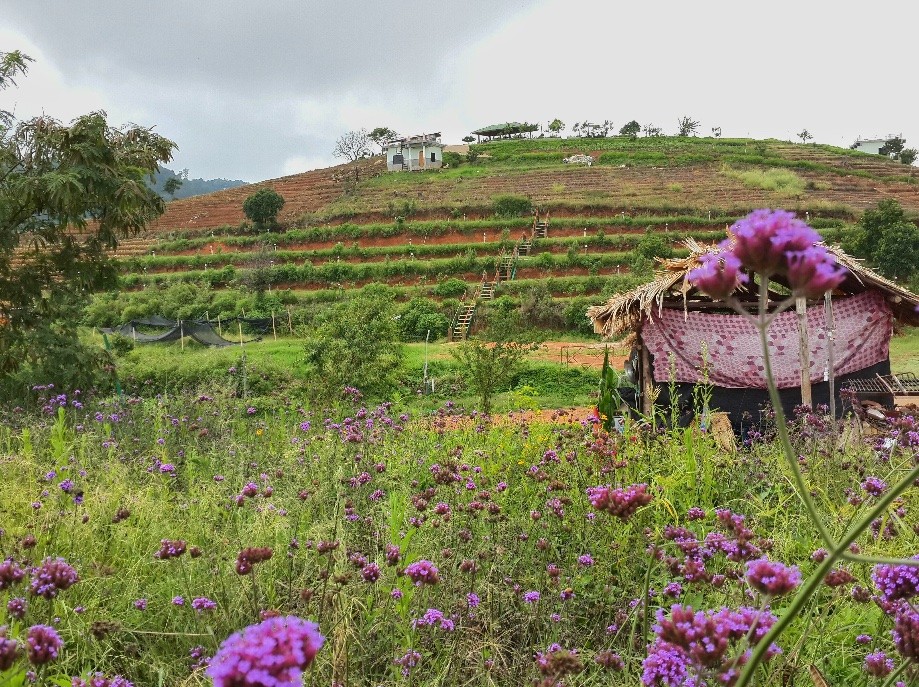
Not sure what was being grown here but nice hothouse.
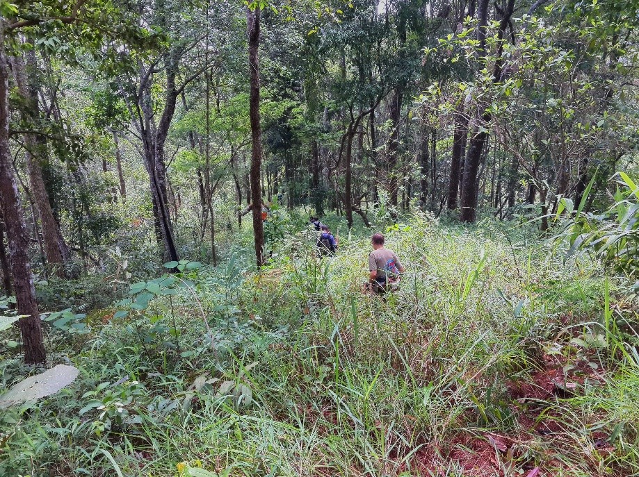
A short section of bushwacking.
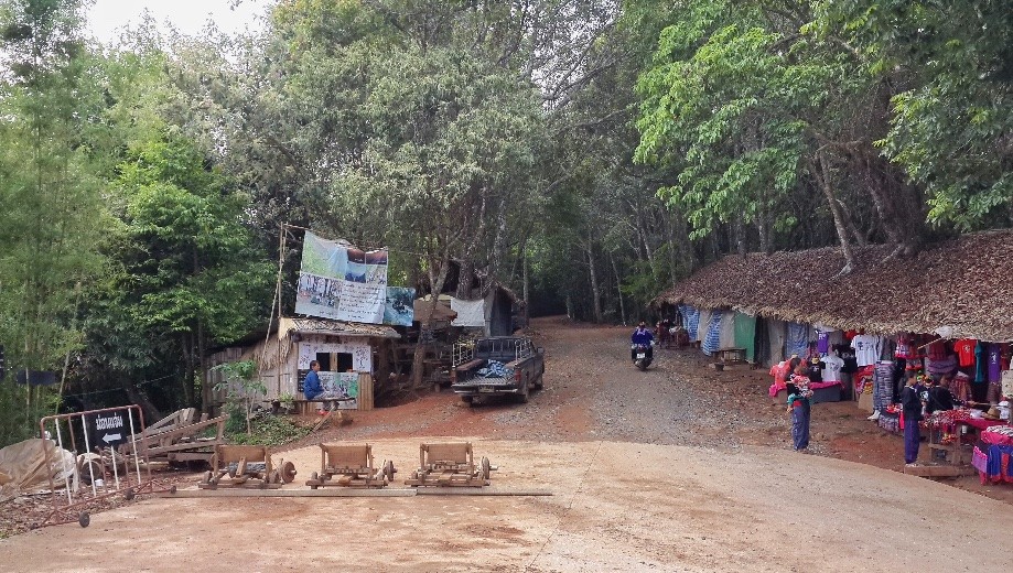
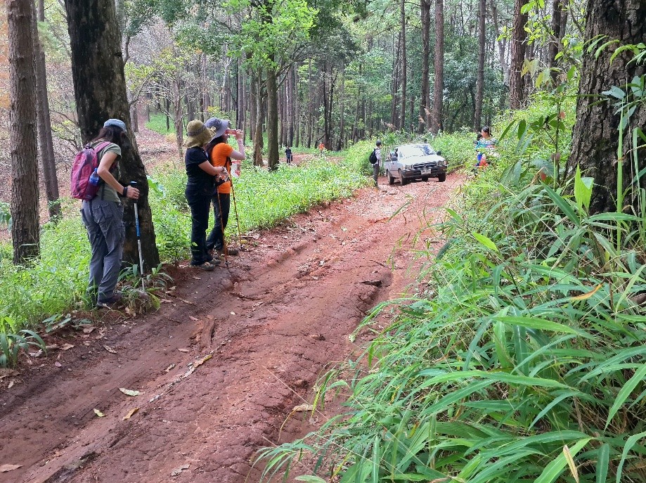
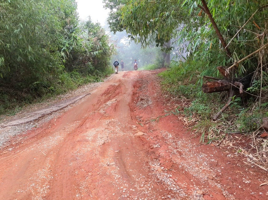
Although we were on roads a lot, vehicles were rare enough that we took pictures when they passed.
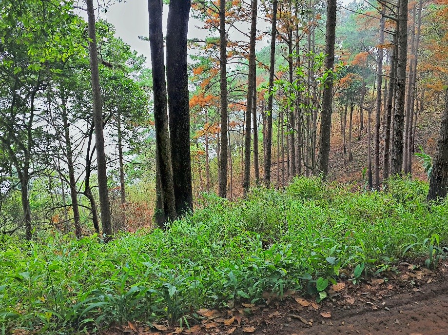
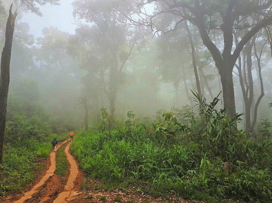
We were basically walking at the divide between clouds and clear air. It gave our walk a beautiful, dramatic touch.
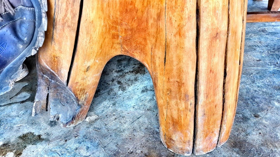
At lunch I admired my table legs. Map location is wrong.
A guesthouse I stayed at before near our lunch spot. The map location here is wrong.
