Lower Pine Creek
Map Explore
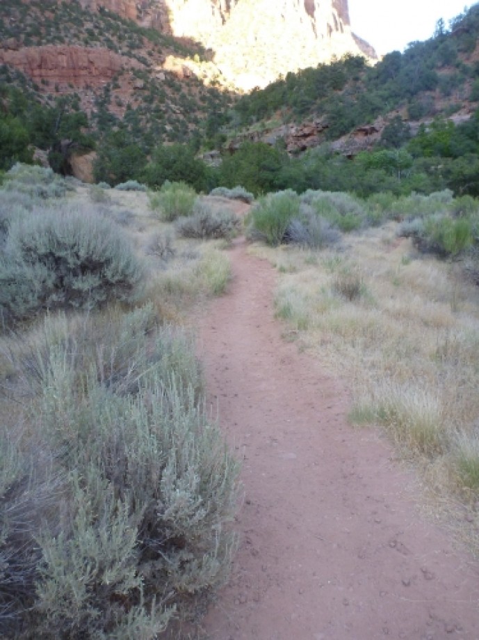
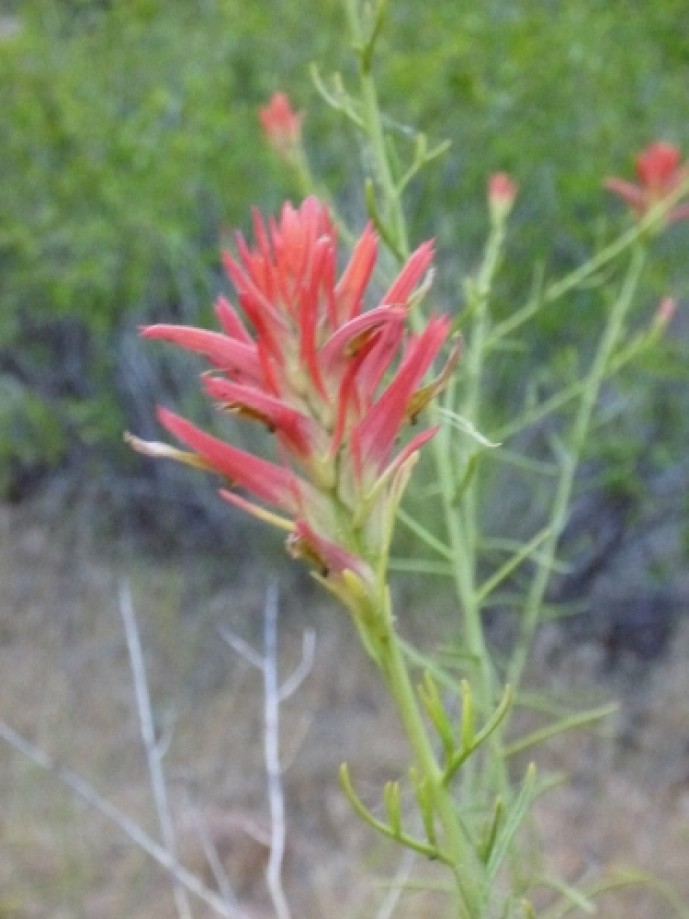
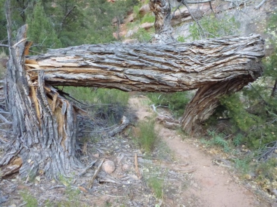
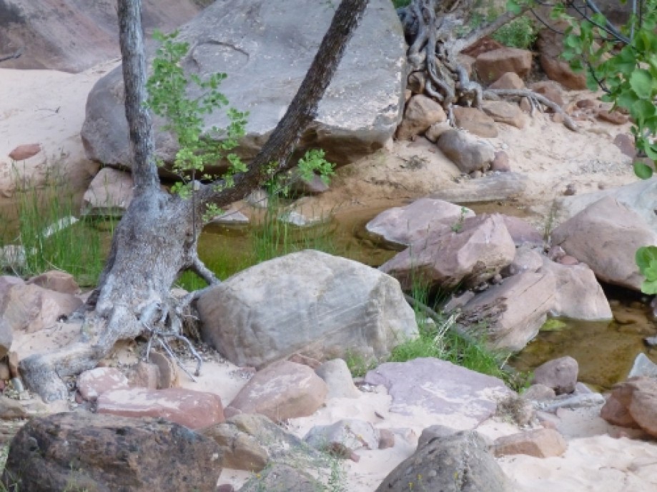
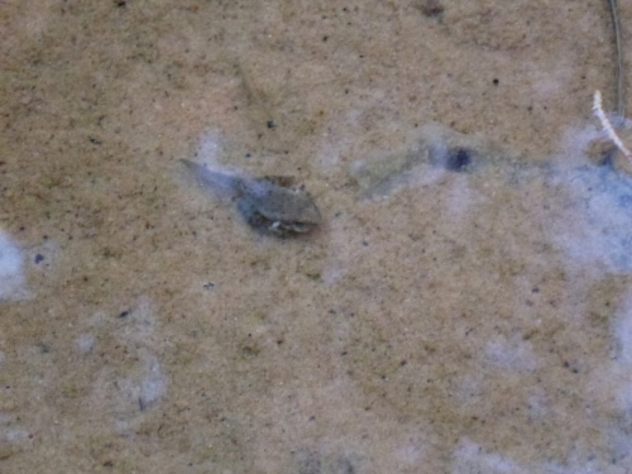
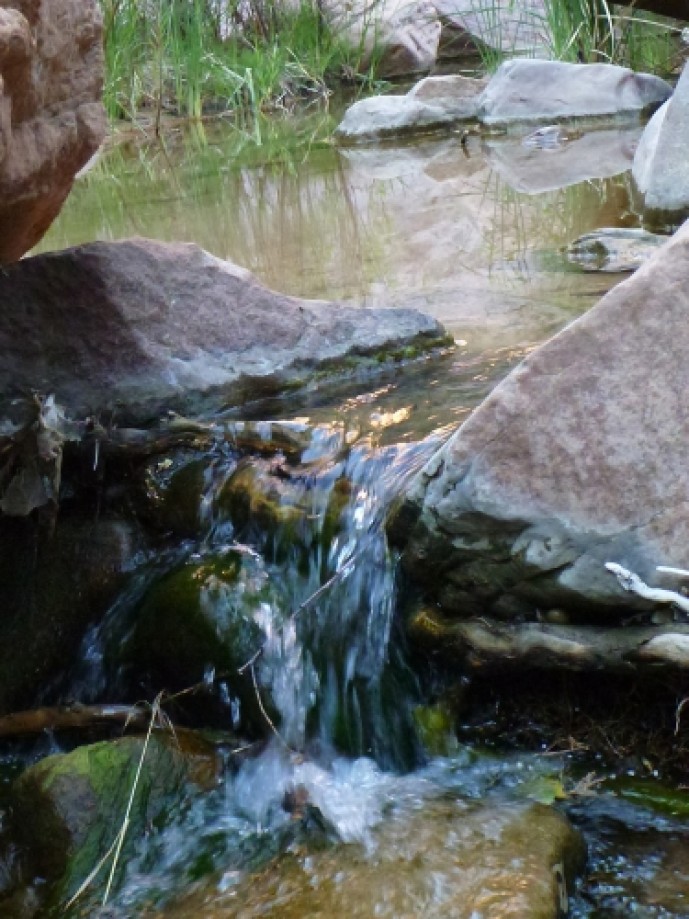
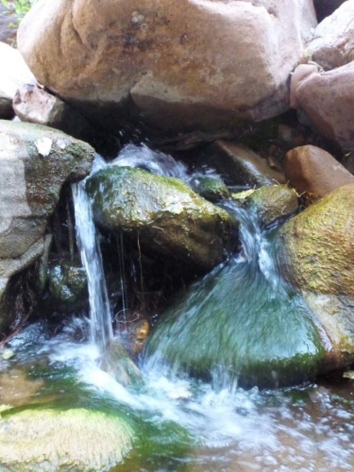
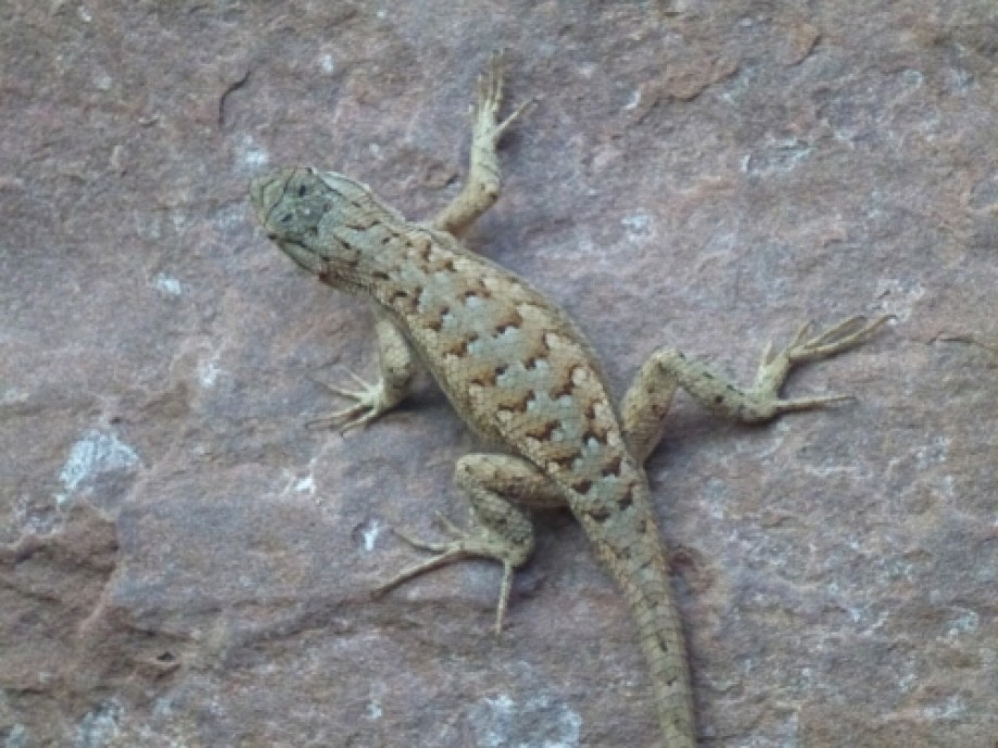
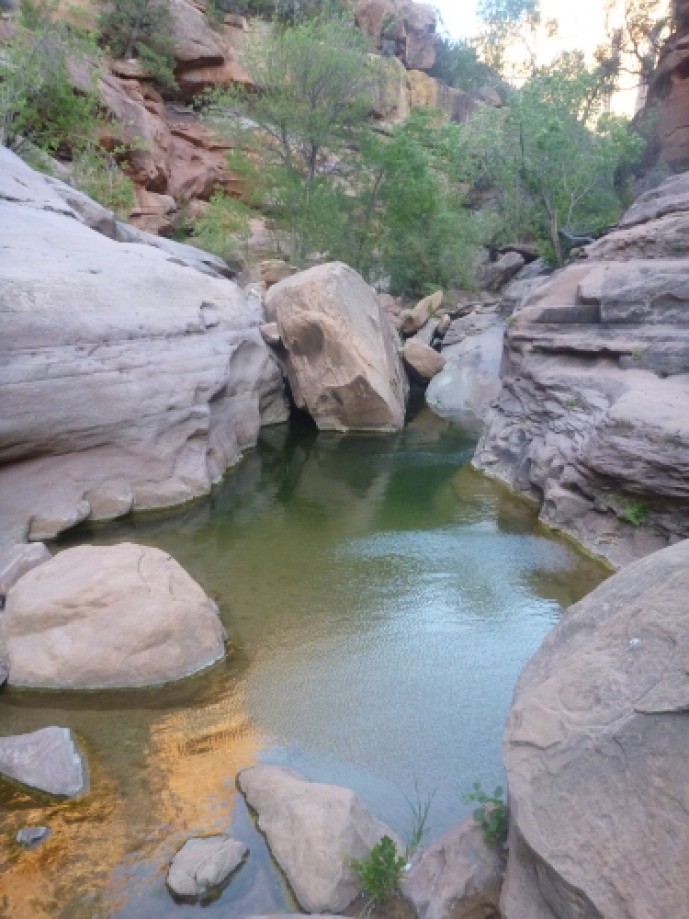
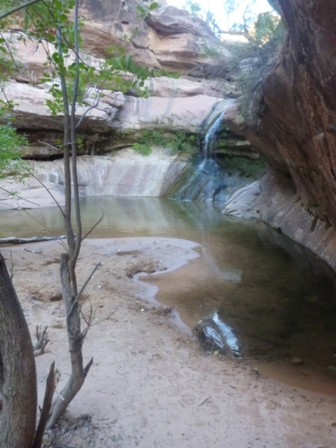
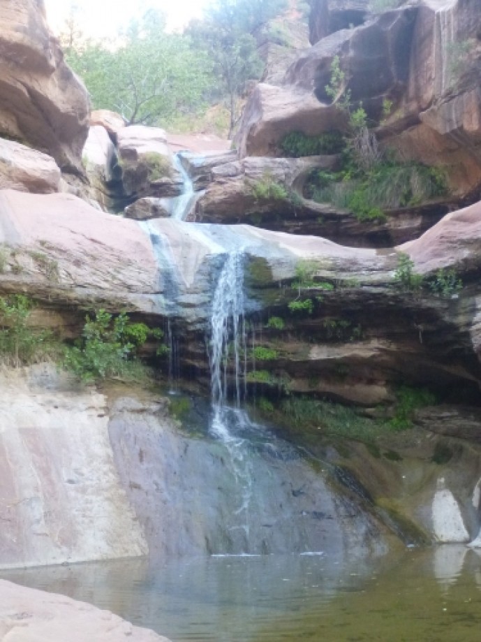
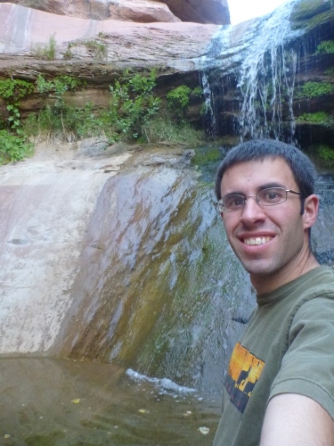
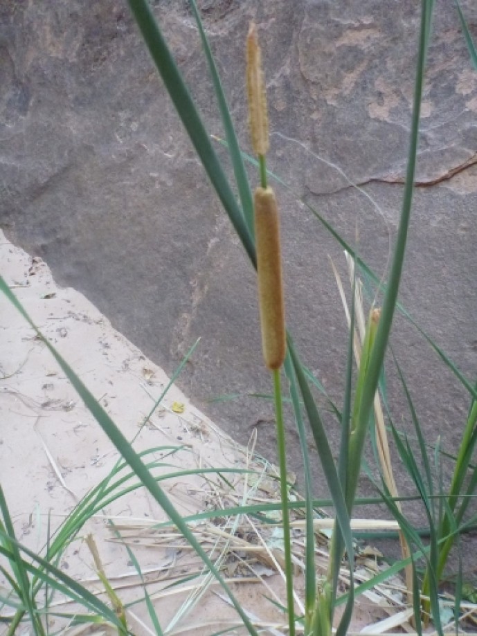
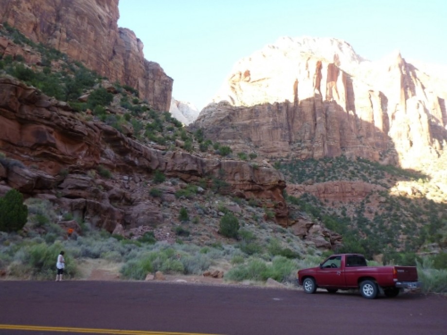
Chart (Mouse wheel zooms in)
Story
The trailhead for Lower Pine Creek is the first (bottom) switchback.The trail is not maintained or listed on any park maps, but it is easy to find and follow.Pine Creek flows year-round and comes from a spring near the base of the Great Arch. Seasonal runoff can increase the flow dramatically.You'll have to cross Pine Creek a couple of times. Most people will be able to jump from rock to rock and keep their feet dry. Keep an eye out for tadpoles and other critters in the stream.There are a couple of small waterfalls along the way.Right before the large waterfall are a couple of ponds that are big enough to swim in.Lower Pine Creek Falls is about 15 feet tall. The pond at the base of the falls is knee to waist deep.
This trip is from:
http://dyeclan.com/outdooractivities/hiking/lowerpinecreek/Other trips at: http://dyeclan.com/outdooractivities/
This trip is from:
http://dyeclan.com/outdooractivities/hiking/lowerpinecreek/Other trips at: http://dyeclan.com/outdooractivities/