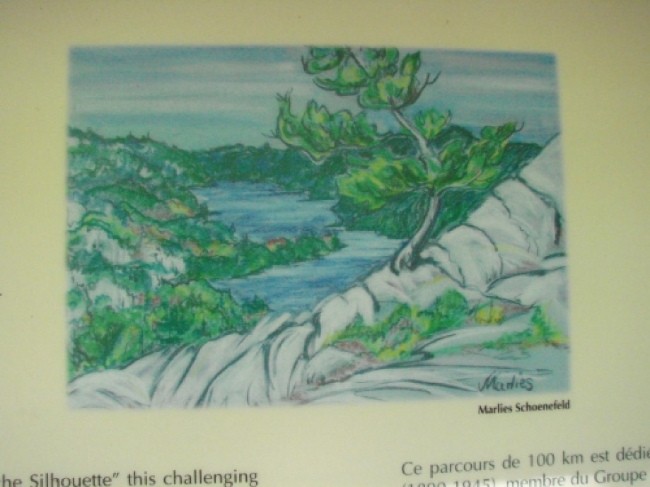
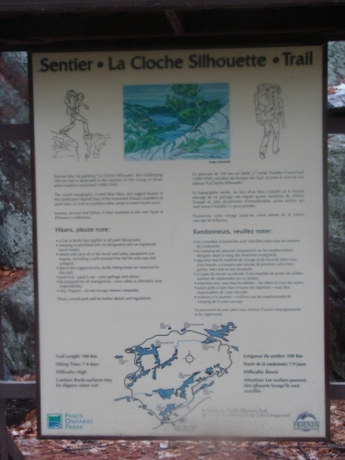
Killarney - La Cloche Silhouette Trail
| Date | 2011-09-17 |
| Distance | 76.8 km47.7 mi |
| Duration | 1 day 6h:51m |
| Photos | 30 |
Map Explore
Photos
DSC07480.JPG
DSC07483.JPG
DSC07484.JPG
DSC07485.JPG
DSC07489.JPG
DSC07491.JPG
DSC07514.JPG
DSC07518.JPG
DSC07525.JPG

DSC07537.JPG
DSC07540.JPG
DSC07551.JPG
DSC07557.JPG
DSC07563.JPG
DSC07565.JPG
DSC07575.JPG
DSC07579.JPG
DSC07589.JPG
DSC07592.JPG
SANY0733.JPG
DSC07601.JPG
DSC07620.JPG
DSC07624.JPG
DSC07635.JPG
DSC07636.JPG
DSC07642.JPG
DSC07646.JPG
DSC07660.JPG
SANY0754.JPG
DSC07661.JPG
Chart (Mouse wheel zooms in)
Story
Preliminary Discussion
Planning for the annual trip this year surrounded possibly
doing the WCT primarily, however due to various conflicts and other things that
cropped up this was deemed not doable this year. So a more local destination was decided upon. Ideally, this was going to be La Mauricie’s
Laurentien Trail, however this was moved when we discovered that camp fires are
prohibited (http://www.pc.gc.ca/pn-np/qc/mauricie/activ/activ7.aspx)
in the park (note that it appears this is very common in National Parks in the
east) . After all of this we ultimately decided
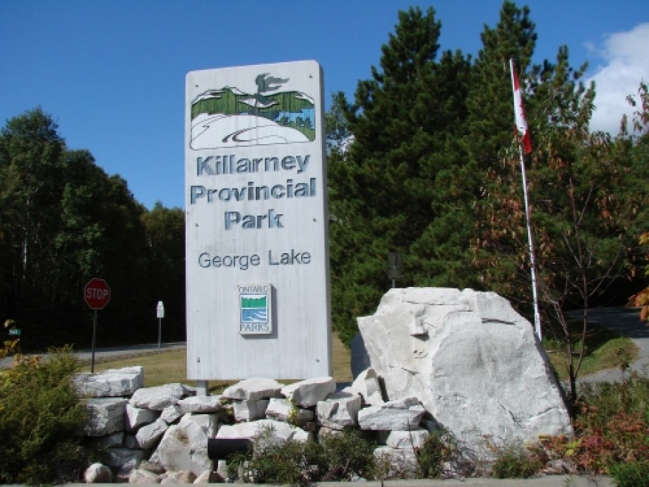
on Killarney’s La Cloche Silhouette Trail.
The reasons being that the distance @ 77 km is similar to the WCT and as
always the trail is back country and rugged.
This would give us some ability to truly discover how many kilometers we
could comfortably do day after day and also get a firm idea of the necessary
food that we need to keep going day after day.
So with all of the plans for timing and location complete we
did all of the normal preparation for the trip and up until the end we though
the 3 of us would be heading out. When I
called to book the sites though I unfortunately got a surprise, the camp sites
we were looking for were not available.
As such rather than the meandering ~10 km per day we ended up with a
couple of 15 km days on the plan. In the
end this turned out for the better. I
was a little concerned when this happened, as I didn’t expect the trail to be
this busy at this time of year and since coming back from the trip I am not
entirely certain why so many sites were not available as we saw only a couple
of other hikers. Unfortunately this year Crazy Horse had to pull out at the
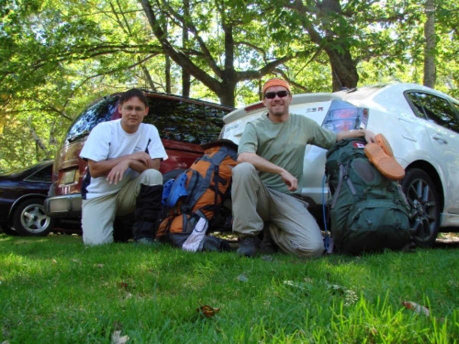
last second leaving only Sicilian and MulderX (me) pulling the weight for the
team.
Saturday, Sept 17, 2011
Daily Log:
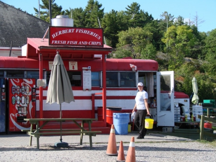
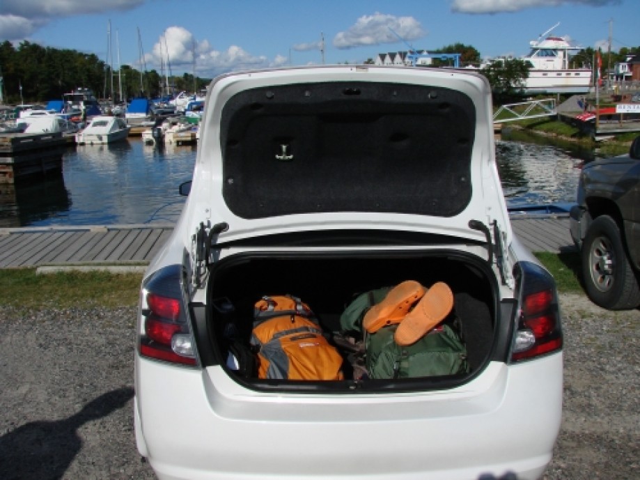
Drive To Killarney: 6 am – 10:30 am
Hike Time: 12 pm – 2:20 pm
Distance: 7.5 km @ 3 km/hr
Weather: Sunny
Temperature: Max 17°C, Min 2°C
Wind: breezy
Rain: N/A
Day 1 was just a short day as is normal for us. We usually prefer this since the first day
has 2 special items. One is travel to
the location, which usually entails an early morning and the other is our
traditional steak (and this year beer) .
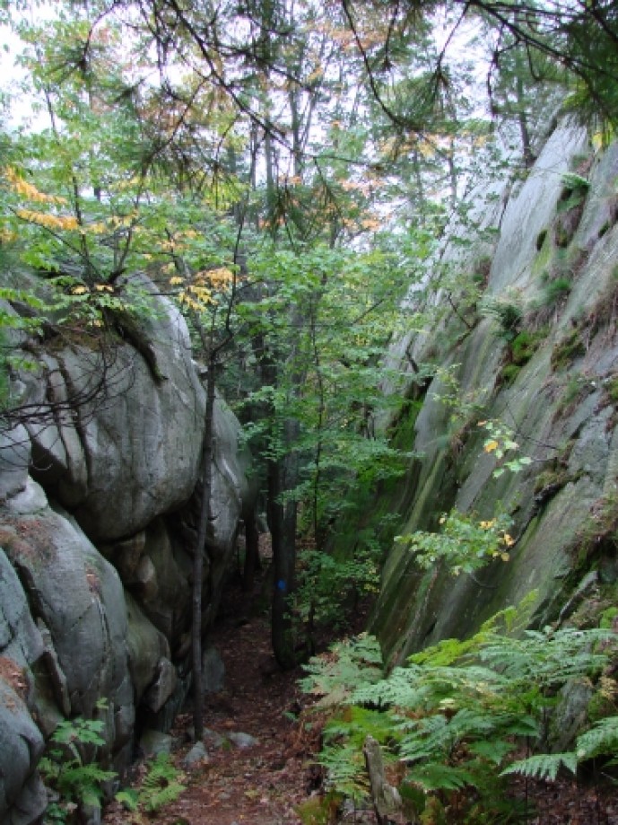
In any case the weather was nice and the trail is fairly flat and treed
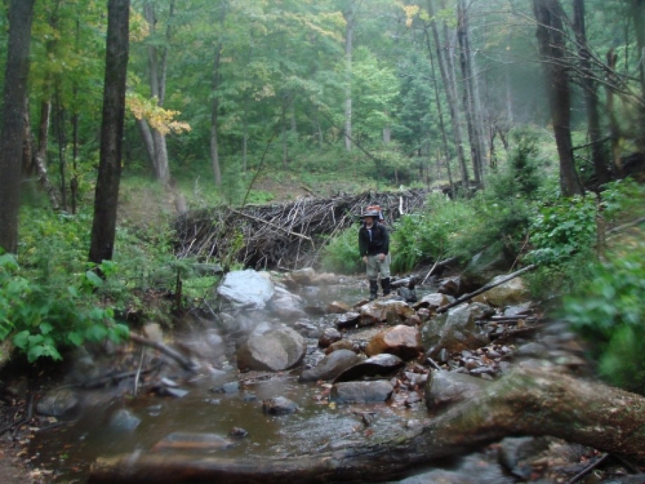
in this, the Baie Fine Section. Of note
on this day, we saw a deer which seemed quite comfortable with us around, and
met up with another couple of hikers who were traveling a bit slower than us,
but going much further. The campsite
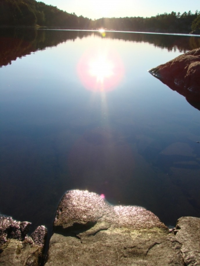
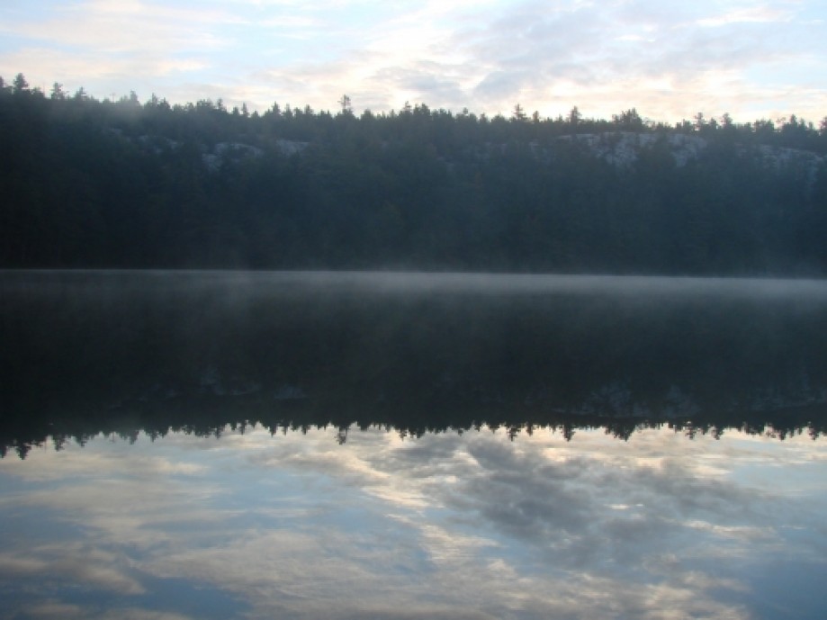
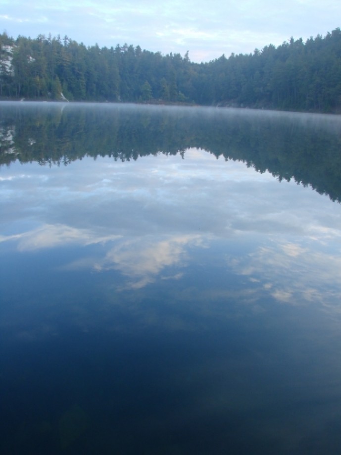
(H5) was nice, but it was my first experience with a “dead lake”, the water
being crystal clear, but no Fish and no Loons.
Sunday, Sept 18, 2011
Daily Log:
Hike Time: 9 am – 3 pm
Distance: 15.2 km @ 2 km/hr
Weather: Sunny
Temperature: Max 19°C, Min 3°C
Wind: NNE @ 35 km/hr
Rain: N/A
Day 2 was our first longer than expected day @ 15 kms. Again the trail is fairly basic and flat
here, but you do get the first real climb and descent of the trail at the end
of the Baie Fine Section when following the old logging road between Baie Fine
and Threenarrows Lake. After the climb
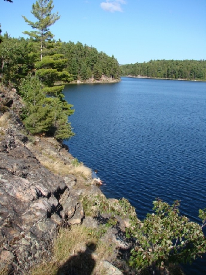
and the skirts around the dam you enter the Three Narrows Section of the trail. Again this is all quite flat and basically
just skirts Threenarrows Lake, which we did until reaching campsite H18. It is a reasonable campsite, but a little
open and the statement in the guide book which says “steep water access” is an
understatement.
Monday, Sept 19, 2011
Daily Log:
Hike Time: 8:30 am – 3:30 pm
Distance: 17.8 km @ 2 km/hr
Weather: Rainy & Windy
Temperature: Max 15°C, Min 7°C
Wind: NNE @ 37 km/hr
Rain: 16.4 mm
Day 3 was supposed to be the worst part of the trail and the
Silhouette didn’t disappoint. We started
out the day in a fair bit of sunshine, however by 11 am, the rain was well
underway, which was around the time we are entering the real La Cloche
Silhouette trail, the Hansen Section.
Ideally this would have been great since after crawling up the sides of
the mountains would have been met with beautiful views, but this was not to be
today. Instead we got to walk in rain
and wind across the peaks and ridges.
The by the time we arrived at the campsite we were thoroughly soaked and
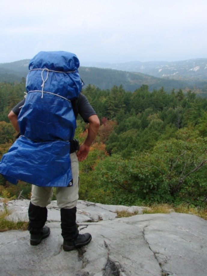
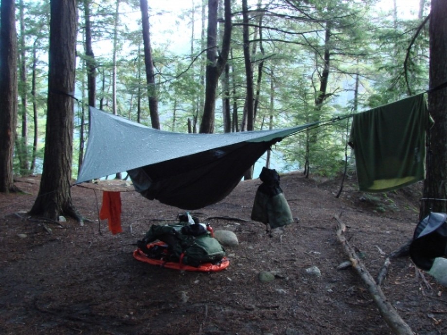
so was any piece of gear which could absorb water. This was even worse for Sicilian as somewhere
along the trail he lost his pack cover and as you can see from the pictures
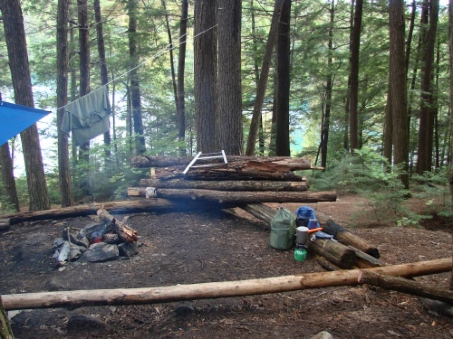
needed to use his tarp to cover his pack when necessary afterwards. The campsite (H33) was my favorite along the
trail, very secluded and picturesque.
Tuesday, Sept 20, 2011
Daily Log:
Hike Time: 11 am – 1:45 pm
Distance: 6.6 km @ 2 km/hr
Weather: Sunny & Damp
Temperature: Max 22°C, Min 6°C
Wind: breezy
Rain: N/A
Day 4 was started with a gorgeous morning at the lake and
then we packed up the wet gear and moved out.
This day was meant to be both a bit of a rest day before the Silver Peak
and after 2 days of 15+ kms, in the end it turned out to be a good decision
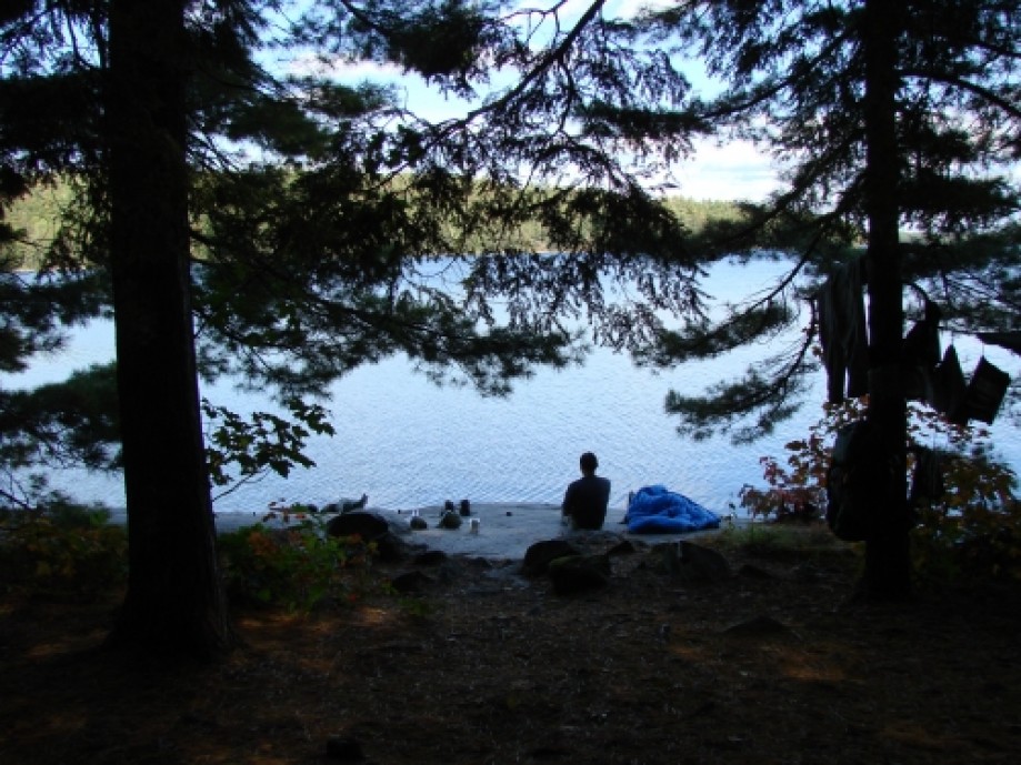
since if gave us a little time to deal with the wet gear. So we meandered down to campsite H34 and set
up camp. This was nice site, with really
good water access and swimming.
Wednesday, Sept 21, 2011
Daily Log:
Hike Time: 9 am – 3 pm
Distance: 15.8 km @ 3 km/hr
Weather: Cloudy & Rain
Temperature: Max 19°C, Min 9°C
Wind: NNE @ 46 km/hr
Rain: 13.8 mm (in 1 big down pour)
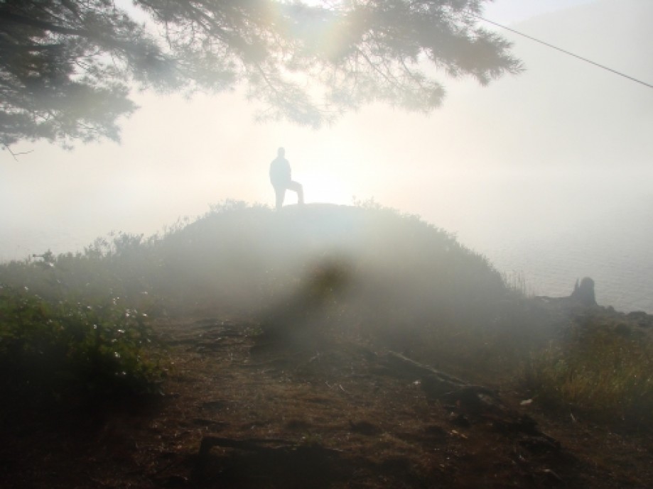
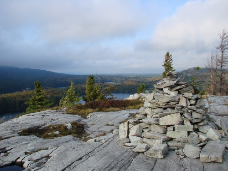
Day 5 was the big reason we came, the climb to the top of
Silver Peak. With our gear reasonably
dry we got to the Silver Peak junction by 10:30. MulderX dropped his gear and with a little
food and GPS in hand headed to the top, Sicilian on the other hand decided to
drop a little of his gear, but take his pack to the top. As it only took us 40 minutes to go up and 30
minutes to come back down Sicilian’s decision proved to be more trouble than it
was worth. The more interesting point
with the summit is that you don’t actually get there. The day before we were reading the guide book
and I thought it said we needed to “go left” to get to the summit, however when
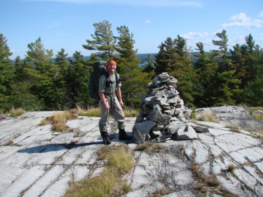
we reached the top the markers clearly said to “go right”. We got to the top and saw what I thought were
the cairns for the peak, but it turns out these were the foundation for the old
fire tower and that we were not actually at “the top”. This was the start of what I found to be the
only annoying thing on the trail. Once
you get to the Silver Peak Section the markers go to hell and what was nice,
clear and well-marked becomes poorly marked and in places a maze of false
trails. I can’t say why this is, but it
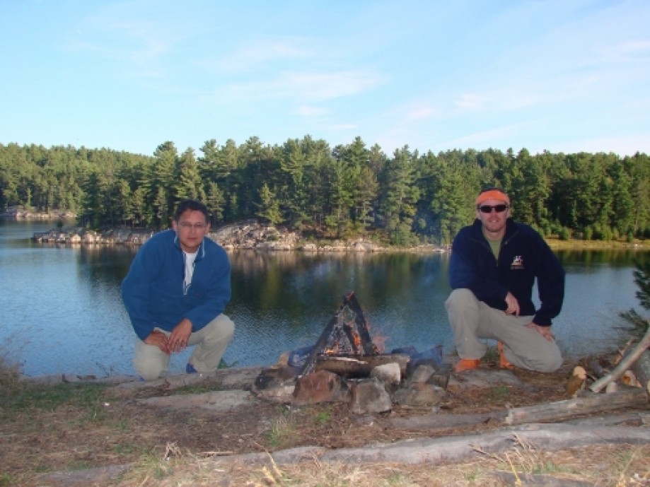
is noticeable from Silver Peak to junction for the Crack Trail. At the end of the day we arrived at camp H45,
which turned out to be quite nice and a good spot for a swim. It is also worth noting that the rain which
had been threatening all day finally arrived with a vengeance such that they 14
mm of rain all came down in about 30 minutes, but we managed to keep our fire
burning through it.
Thursday, Sept 22, 2011
Daily Log:
Hike Time: Rest Day
Distance: N/A
Weather: Sunny with Rain & Cloudy
Periods
Temperature: Max 17°C, Min 9°C
Wind: breezy
Rain: 8.2 mm
Day 6 was our rest day.
Nothing much to mention here, other than I don’t think I will enjoy a
full rest day again. Where I enjoyed day
4 and its short hike, day 6 was a little too leisurely, 5 km would have been
nice. I did choose this day to do a
couple of things, like clean up a little, hike and make some bannock which
didn’t turn out too bad. Also worth
mentioning was that due to the very wet ground in the area a tree fell over in
the middle of the night and another one the next day, thankfully not through
the campsite, but it certainly could have been.
Friday, Sept 23, 2011
Daily Log:
Hike Time: 9 am – 3:30 pm
Distance: 20.3 km @ 3 km/hr
Weather: Cloudy & Rain
Temperature: Max 15°C, Min 10°C
Wind: breezy
Rain: 3.2 mm (drizzle)
Day 7 was supposed to be our second last day, but with rain
threatening again and the fact that our last campsite was within 2 km of the
car we decided to just hump it through to the car and head home directly to see
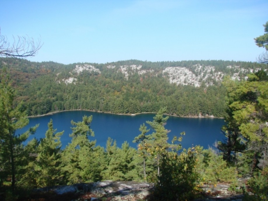
our families. All in all this section is
probably the second best behind the Hansen Section which I thoroughly enjoyed
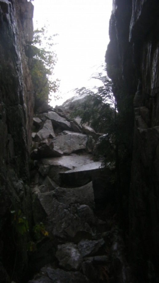
and if it wasn’t for the weather again there were some areas like the Crack
that had some beautiful lookouts.
Conclusions
In the end the trip was great and we gained some of the last
little bits of information we needed to make the WCT trip next year, fun and
exciting. The trip overall went very
well except for the very bad blister that Sicilian developed on the second day
and which got considerably worse as the trip progressed. If you are ever visiting the area this is a
great trail, sort of a combination between the woodiness of the Algonquin
trails and the rockiness and lookouts of the Coastal Trail in the LSPP. If you can’t do the whole trail, then I would
just do the normal Silver Peak Section of the trail, but start at the Crack
access point rather than from George lake as the last 6 km are nothing special
to the point that I wouldn’t want to do it twice.
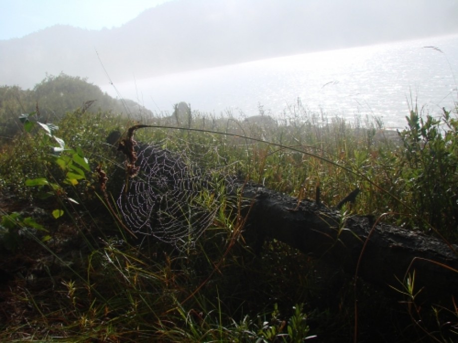
Trail Markers on the Silver Peak Section – While going
around the trail, there are several areas that get a little confused, but on
the Silver Peak Section it seems that these are more often and some of the
choices that whoever made for the marker location and colors is worse. When you get to Silver Peak the blue markers
go in 3 directions rather than using a different color for the Peak Side trail
and when you get to the Crack area the blue runs along with red however this
isn’t 100% consistent and cause a bit of confusion from time to time.Also Nice is this site with some info on the campsites http://sites.google.com/site/killarneycampsites/homepage
Planning for the annual trip this year surrounded possibly
doing the WCT primarily, however due to various conflicts and other things that
cropped up this was deemed not doable this year. So a more local destination was decided upon. Ideally, this was going to be La Mauricie’s
Laurentien Trail, however this was moved when we discovered that camp fires are
prohibited (http://www.pc.gc.ca/pn-np/qc/mauricie/activ/activ7.aspx)
in the park (note that it appears this is very common in National Parks in the
east) . After all of this we ultimately decided
on Killarney’s La Cloche Silhouette Trail.
The reasons being that the distance @ 77 km is similar to the WCT and as
always the trail is back country and rugged.
This would give us some ability to truly discover how many kilometers we
could comfortably do day after day and also get a firm idea of the necessary
food that we need to keep going day after day.
So with all of the plans for timing and location complete we
did all of the normal preparation for the trip and up until the end we though
the 3 of us would be heading out. When I
called to book the sites though I unfortunately got a surprise, the camp sites
we were looking for were not available.
As such rather than the meandering ~10 km per day we ended up with a
couple of 15 km days on the plan. In the
end this turned out for the better. I
was a little concerned when this happened, as I didn’t expect the trail to be
this busy at this time of year and since coming back from the trip I am not
entirely certain why so many sites were not available as we saw only a couple
of other hikers. Unfortunately this year Crazy Horse had to pull out at the
last second leaving only Sicilian and MulderX (me) pulling the weight for the
team.
Saturday, Sept 17, 2011
Daily Log:
Drive To Killarney: 6 am – 10:30 am
Hike Time: 12 pm – 2:20 pm
Distance: 7.5 km @ 3 km/hr
Weather: Sunny
Temperature: Max 17°C, Min 2°C
Wind: breezy
Rain: N/A
Day 1 was just a short day as is normal for us. We usually prefer this since the first day
has 2 special items. One is travel to
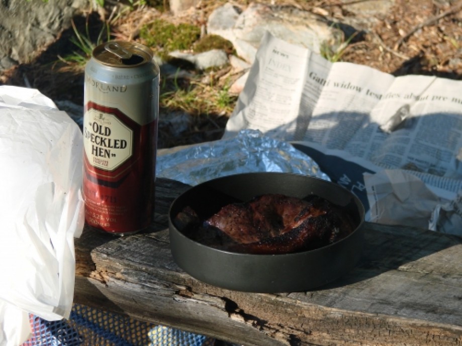
the location, which usually entails an early morning and the other is our
traditional steak (and this year beer) .
In any case the weather was nice and the trail is fairly flat and treed
in this, the Baie Fine Section. Of note
on this day, we saw a deer which seemed quite comfortable with us around, and
met up with another couple of hikers who were traveling a bit slower than us,
but going much further. The campsite
(H5) was nice, but it was my first experience with a “dead lake”, the water
being crystal clear, but no Fish and no Loons.
Sunday, Sept 18, 2011
Daily Log:
Hike Time: 9 am – 3 pm
Distance: 15.2 km @ 2 km/hr
Weather: Sunny
Temperature: Max 19°C, Min 3°C
Wind: NNE @ 35 km/hr
Rain: N/A
Day 2 was our first longer than expected day @ 15 kms. Again the trail is fairly basic and flat
here, but you do get the first real climb and descent of the trail at the end
of the Baie Fine Section when following the old logging road between Baie Fine
and Threenarrows Lake. After the climb
and the skirts around the dam you enter the Three Narrows Section of the trail. Again this is all quite flat and basically
just skirts Threenarrows Lake, which we did until reaching campsite H18. It is a reasonable campsite, but a little
open and the statement in the guide book which says “steep water access” is an
understatement.
Monday, Sept 19, 2011
Daily Log:
Hike Time: 8:30 am – 3:30 pm
Distance: 17.8 km @ 2 km/hr
Weather: Rainy & Windy
Temperature: Max 15°C, Min 7°C
Wind: NNE @ 37 km/hr
Rain: 16.4 mm
Day 3 was supposed to be the worst part of the trail and the
Silhouette didn’t disappoint. We started
out the day in a fair bit of sunshine, however by 11 am, the rain was well
underway, which was around the time we are entering the real La Cloche
Silhouette trail, the Hansen Section.
Ideally this would have been great since after crawling up the sides of
the mountains would have been met with beautiful views, but this was not to be
today. Instead we got to walk in rain
and wind across the peaks and ridges.
The by the time we arrived at the campsite we were thoroughly soaked and
so was any piece of gear which could absorb water. This was even worse for Sicilian as somewhere
along the trail he lost his pack cover and as you can see from the pictures
needed to use his tarp to cover his pack when necessary afterwards. The campsite (H33) was my favorite along the
trail, very secluded and picturesque.
Tuesday, Sept 20, 2011
Daily Log:
Hike Time: 11 am – 1:45 pm
Distance: 6.6 km @ 2 km/hr
Weather: Sunny & Damp
Temperature: Max 22°C, Min 6°C
Wind: breezy
Rain: N/A
Day 4 was started with a gorgeous morning at the lake and
then we packed up the wet gear and moved out.
This day was meant to be both a bit of a rest day before the Silver Peak
and after 2 days of 15+ kms, in the end it turned out to be a good decision
since if gave us a little time to deal with the wet gear. So we meandered down to campsite H34 and set
up camp. This was nice site, with really
good water access and swimming.
Wednesday, Sept 21, 2011
Daily Log:
Hike Time: 9 am – 3 pm
Distance: 15.8 km @ 3 km/hr
Weather: Cloudy & Rain
Temperature: Max 19°C, Min 9°C
Wind: NNE @ 46 km/hr
Rain: 13.8 mm (in 1 big down pour)
Day 5 was the big reason we came, the climb to the top of
Silver Peak. With our gear reasonably
dry we got to the Silver Peak junction by 10:30. MulderX dropped his gear and with a little
food and GPS in hand headed to the top, Sicilian on the other hand decided to
drop a little of his gear, but take his pack to the top. As it only took us 40 minutes to go up and 30
minutes to come back down Sicilian’s decision proved to be more trouble than it
was worth. The more interesting point
with the summit is that you don’t actually get there. The day before we were reading the guide book
and I thought it said we needed to “go left” to get to the summit, however when
we reached the top the markers clearly said to “go right”. We got to the top and saw what I thought were
the cairns for the peak, but it turns out these were the foundation for the old
fire tower and that we were not actually at “the top”. This was the start of what I found to be the
only annoying thing on the trail. Once
you get to the Silver Peak Section the markers go to hell and what was nice,
clear and well-marked becomes poorly marked and in places a maze of false
trails. I can’t say why this is, but it
is noticeable from Silver Peak to junction for the Crack Trail. At the end of the day we arrived at camp H45,
which turned out to be quite nice and a good spot for a swim. It is also worth noting that the rain which
had been threatening all day finally arrived with a vengeance such that they 14
mm of rain all came down in about 30 minutes, but we managed to keep our fire
burning through it.
Thursday, Sept 22, 2011
Daily Log:
Hike Time: Rest Day
Distance: N/A
Weather: Sunny with Rain & Cloudy
Periods
Temperature: Max 17°C, Min 9°C
Wind: breezy
Rain: 8.2 mm
Day 6 was our rest day.
Nothing much to mention here, other than I don’t think I will enjoy a
full rest day again. Where I enjoyed day
4 and its short hike, day 6 was a little too leisurely, 5 km would have been
nice. I did choose this day to do a
couple of things, like clean up a little, hike and make some bannock which
didn’t turn out too bad. Also worth
mentioning was that due to the very wet ground in the area a tree fell over in
the middle of the night and another one the next day, thankfully not through
the campsite, but it certainly could have been.
Friday, Sept 23, 2011
Daily Log:
Hike Time: 9 am – 3:30 pm
Distance: 20.3 km @ 3 km/hr
Weather: Cloudy & Rain
Temperature: Max 15°C, Min 10°C
Wind: breezy
Rain: 3.2 mm (drizzle)
Day 7 was supposed to be our second last day, but with rain
threatening again and the fact that our last campsite was within 2 km of the
car we decided to just hump it through to the car and head home directly to see
our families. All in all this section is
probably the second best behind the Hansen Section which I thoroughly enjoyed
and if it wasn’t for the weather again there were some areas like the Crack
that had some beautiful lookouts.
Conclusions
In the end the trip was great and we gained some of the last
little bits of information we needed to make the WCT trip next year, fun and
exciting. The trip overall went very
well except for the very bad blister that Sicilian developed on the second day
and which got considerably worse as the trip progressed. If you are ever visiting the area this is a
great trail, sort of a combination between the woodiness of the Algonquin
trails and the rockiness and lookouts of the Coastal Trail in the LSPP. If you can’t do the whole trail, then I would
just do the normal Silver Peak Section of the trail, but start at the Crack
access point rather than from George lake as the last 6 km are nothing special
to the point that I wouldn’t want to do it twice.
Trail Markers on the Silver Peak Section – While going
around the trail, there are several areas that get a little confused, but on
the Silver Peak Section it seems that these are more often and some of the
choices that whoever made for the marker location and colors is worse. When you get to Silver Peak the blue markers
go in 3 directions rather than using a different color for the Peak Side trail
and when you get to the Crack area the blue runs along with red however this
isn’t 100% consistent and cause a bit of confusion from time to time.Also Nice is this site with some info on the campsites http://sites.google.com/site/killarneycampsites/homepage