Northern Briones Regional Park hike
Map Explore
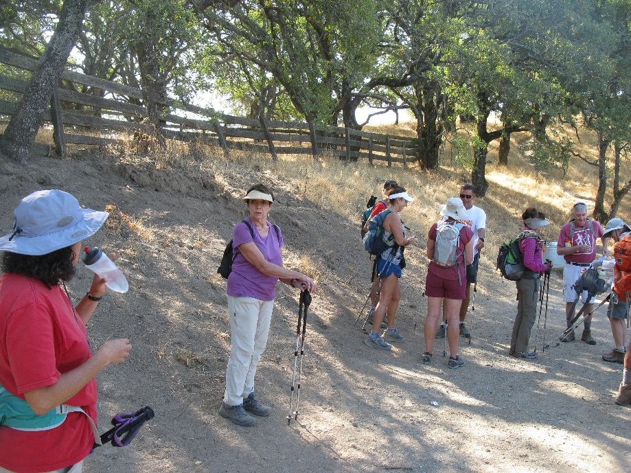
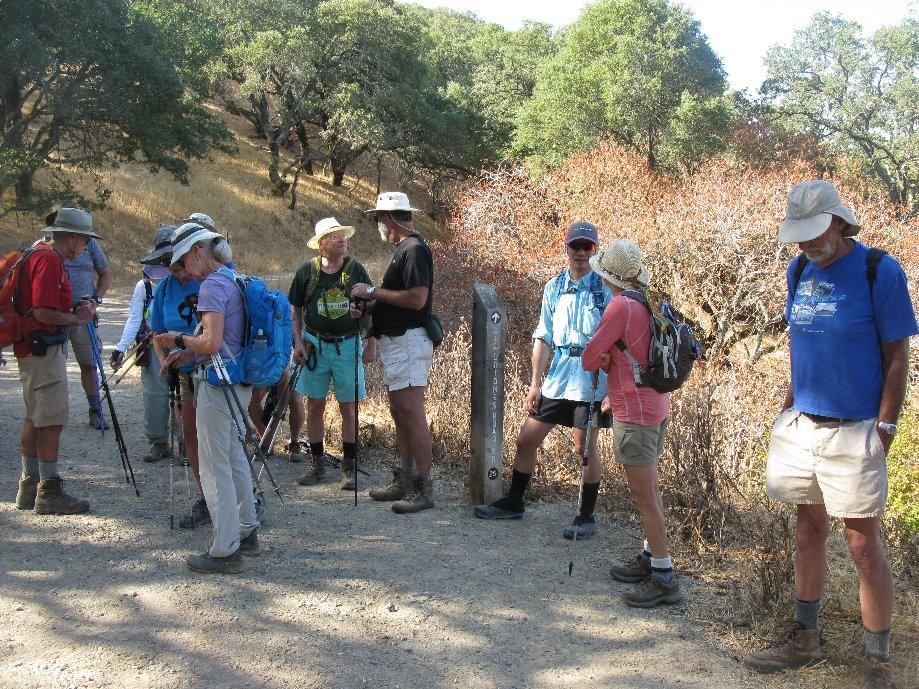
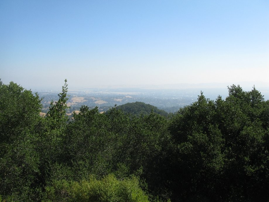
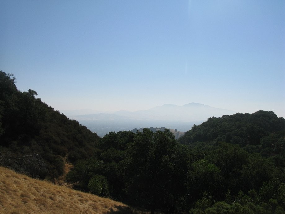
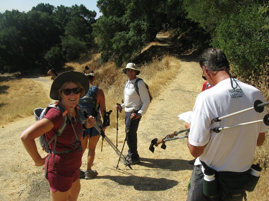
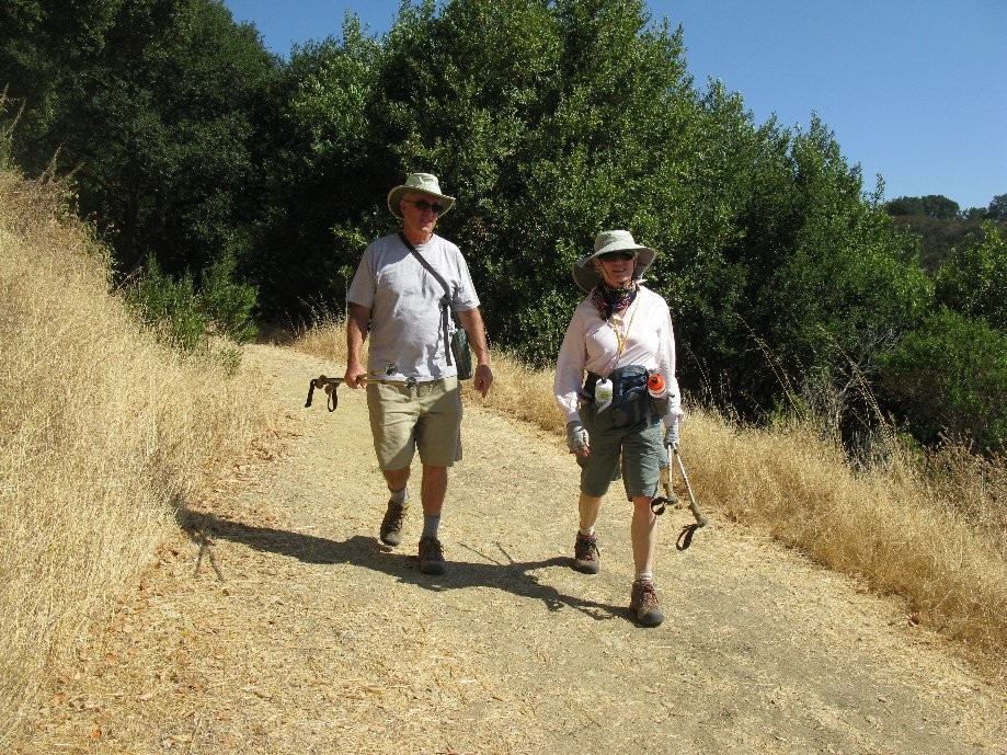
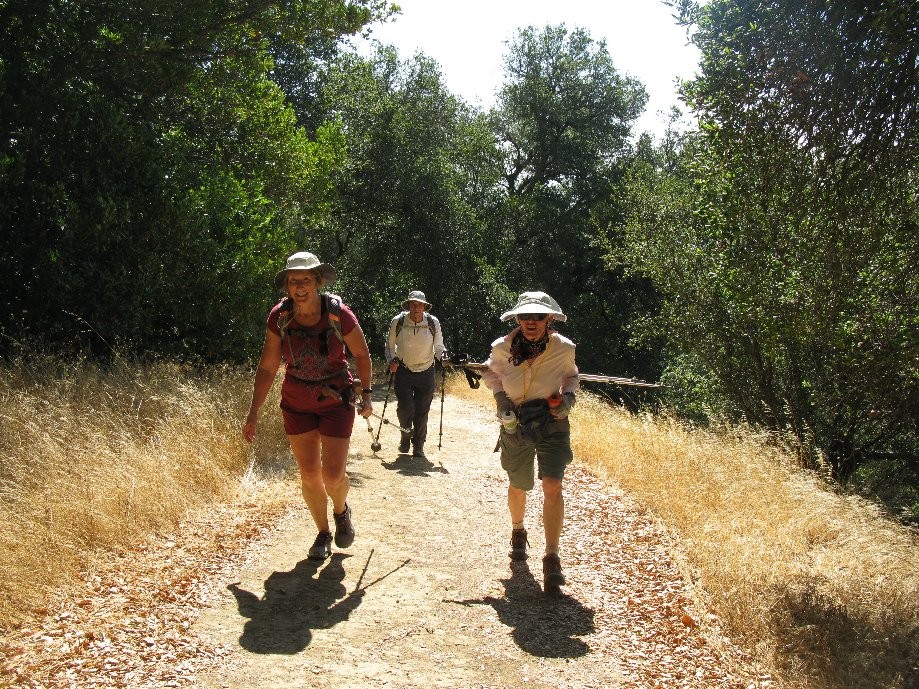
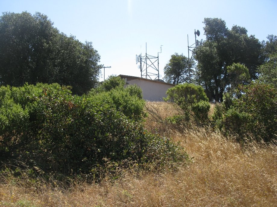
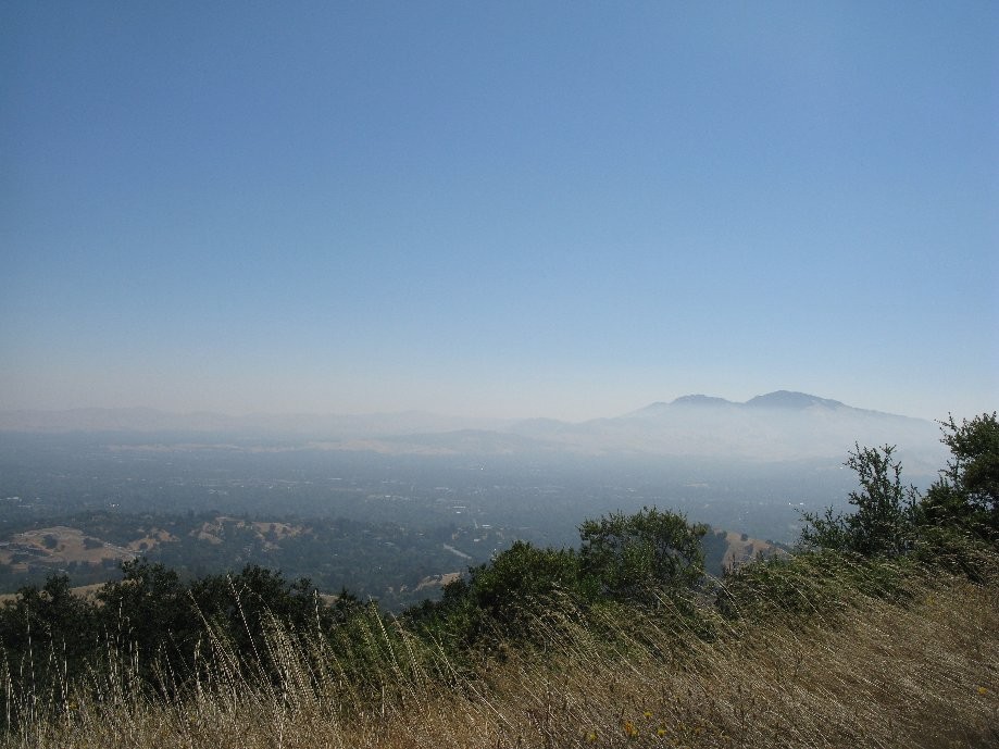
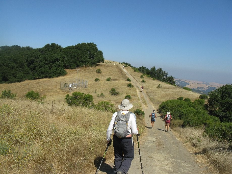
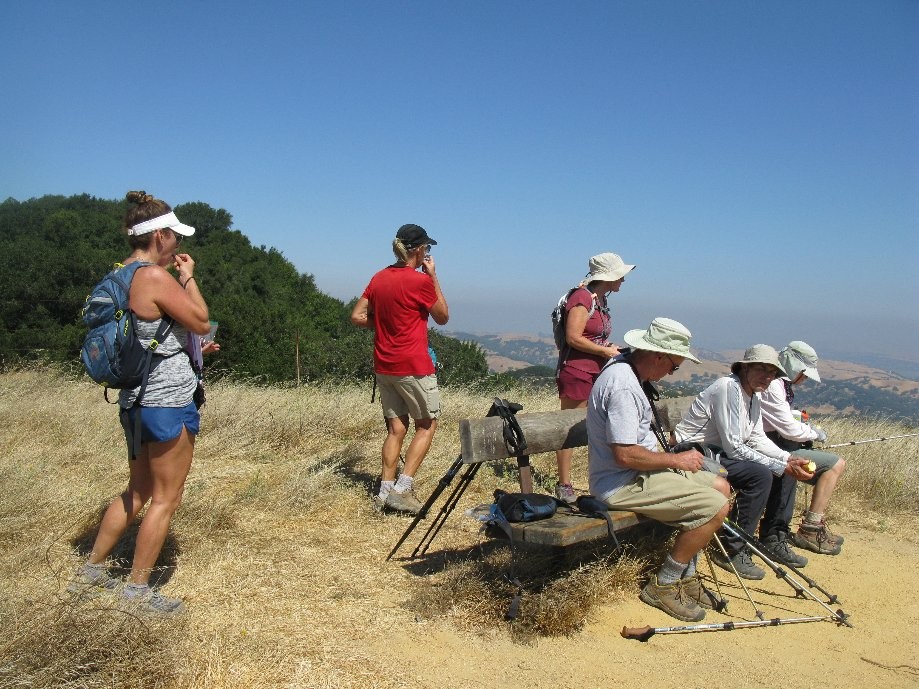
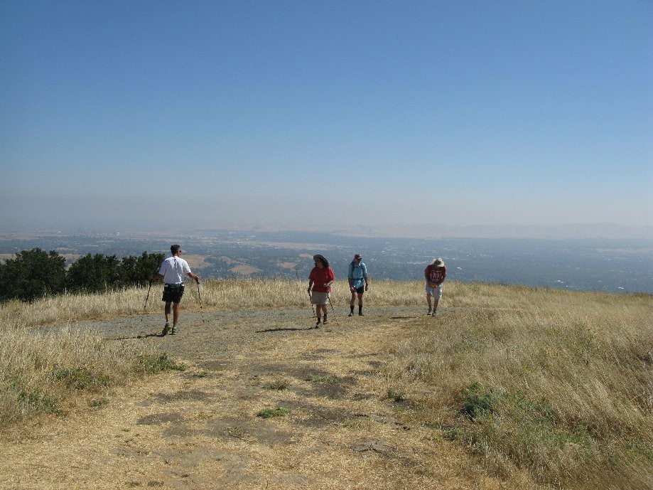
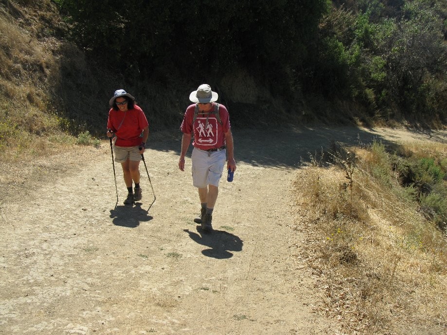
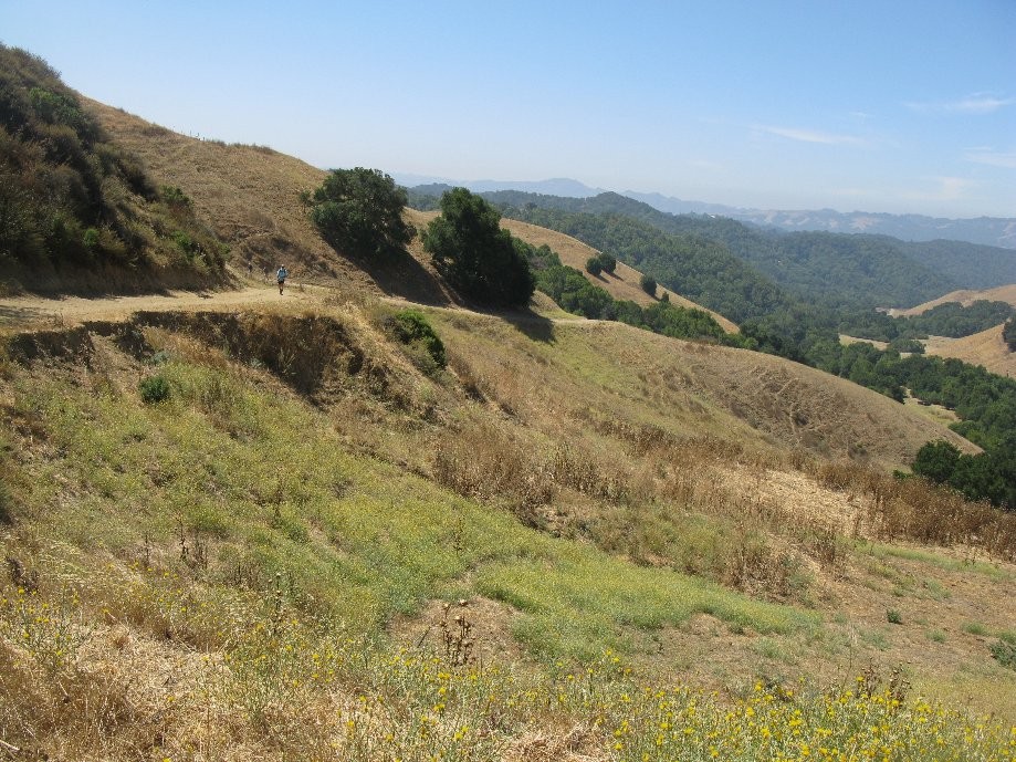
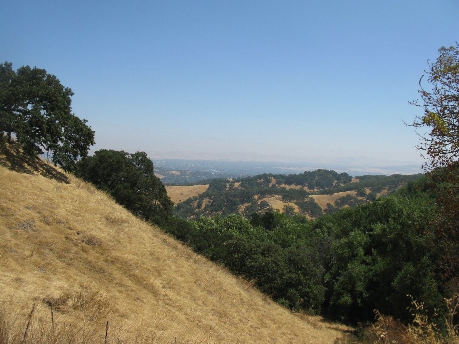
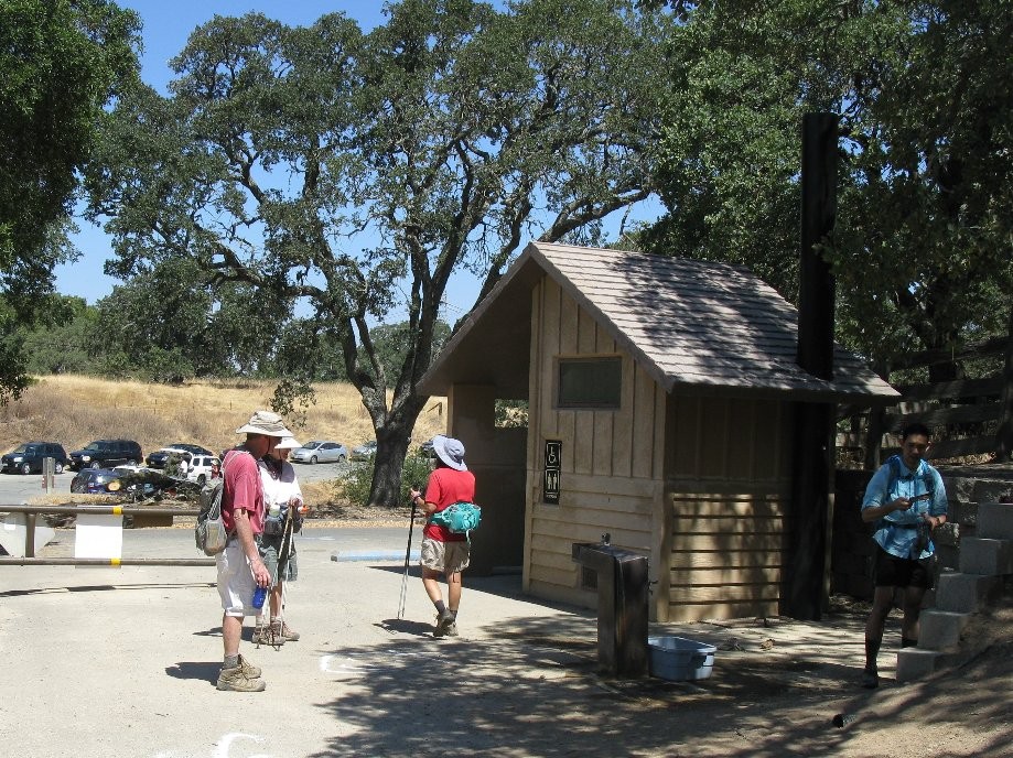
Chart (Mouse wheel zooms in)
Story
Outing of the East Bay Casual Hikers in Briones Regional Park starting from the trailhead at the end of Briones Rd. Our route was Old Briones Road Trail, Maricich Lagoon single track trail, No Name Trail, left down Table Top Trail, at trail marker #53 continue straight onto Spengler Trail, right at trail marker #56 on Table Top Trail with a stop to rest/snack/enjoy the view at the bench at the summit. We then turned left down Briones Crest Trail, at trail marker #72 turns right on Valley Trail, and right up Old Briones Road Trail following it all the way back.