Lake Chabot hike
Map Explore
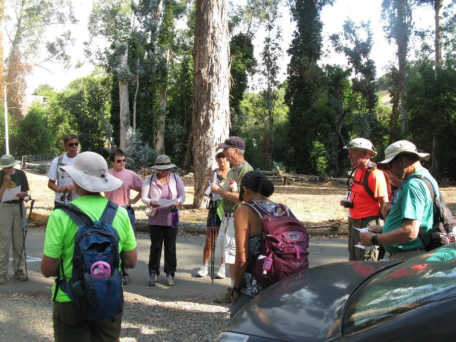
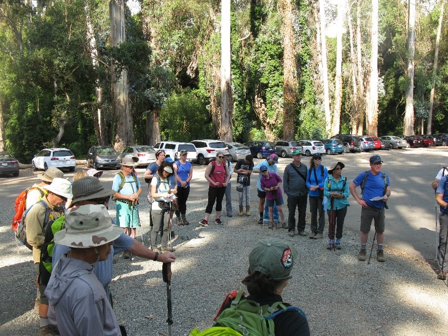
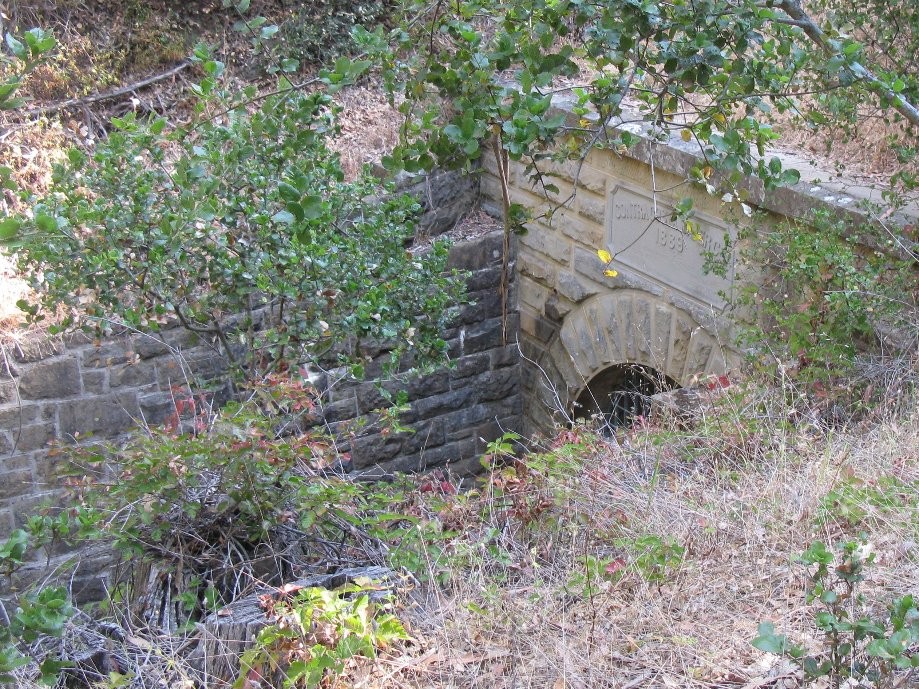
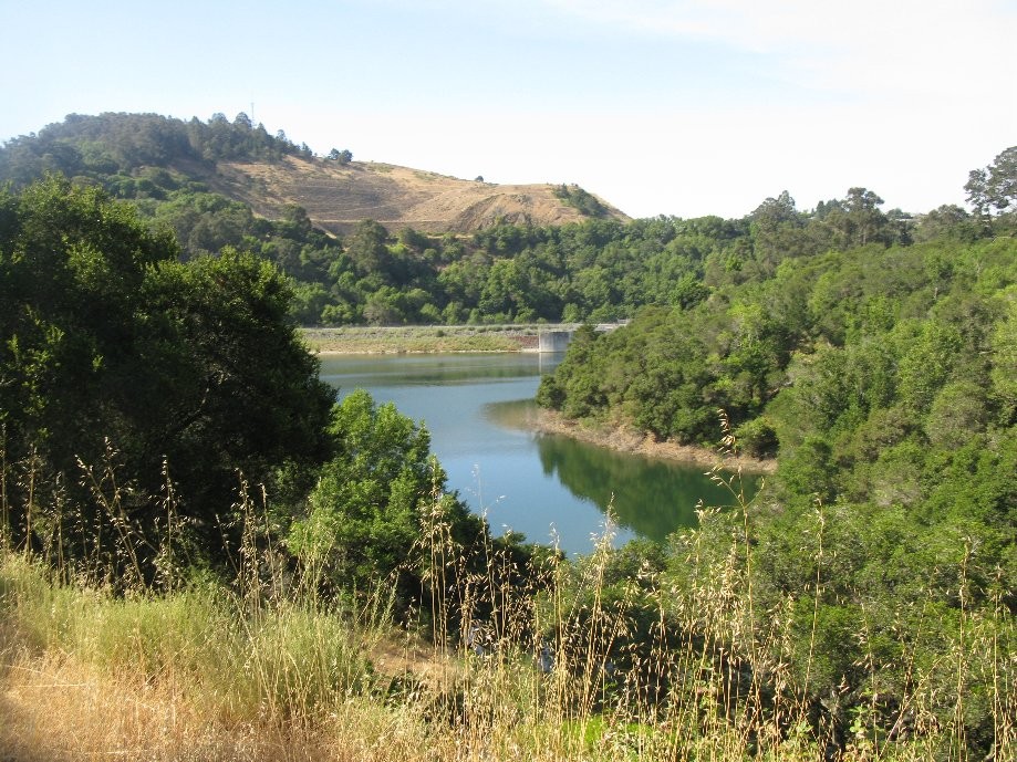
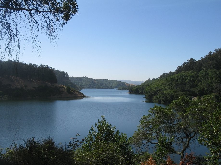
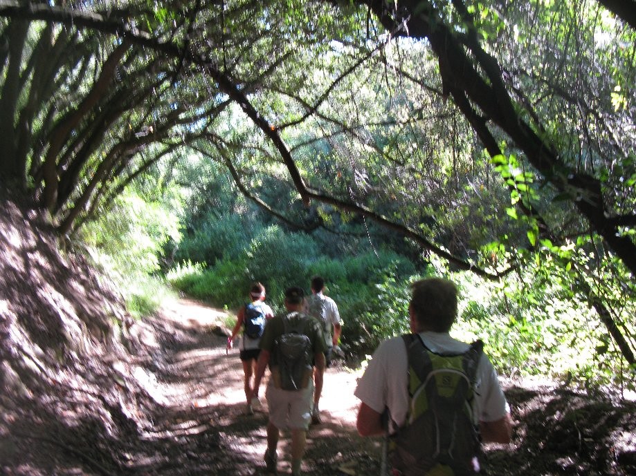
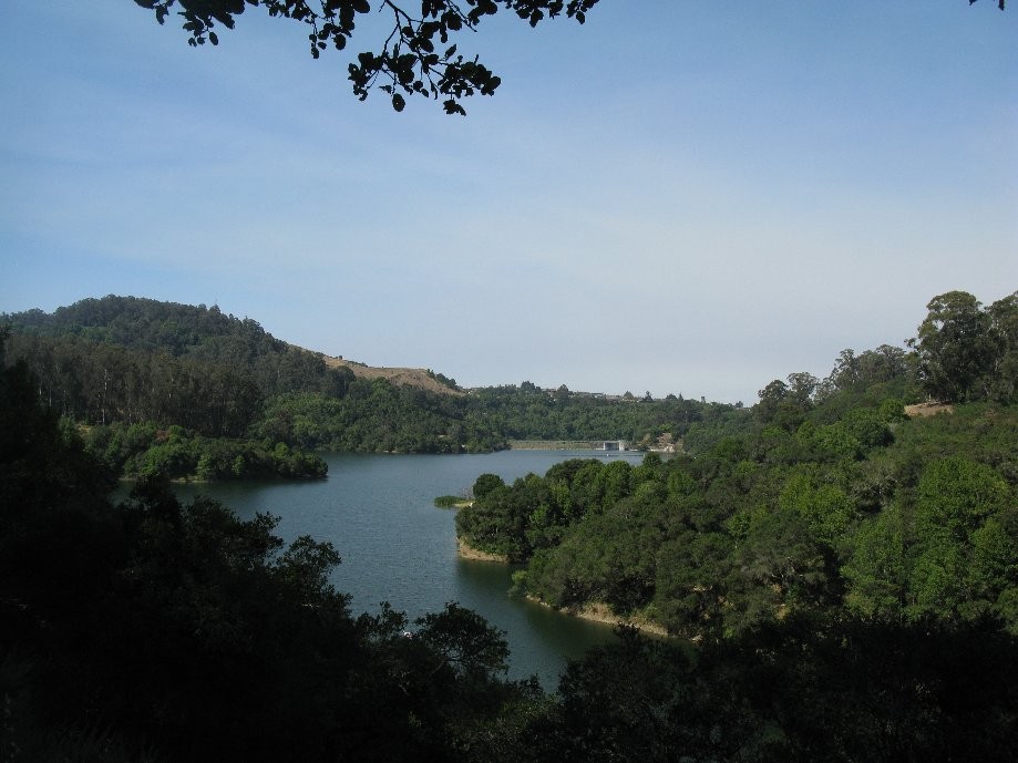
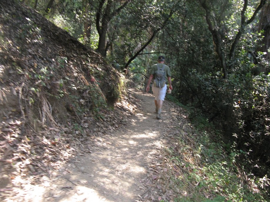
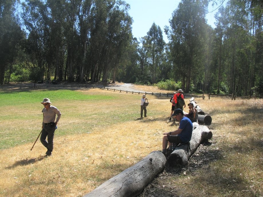
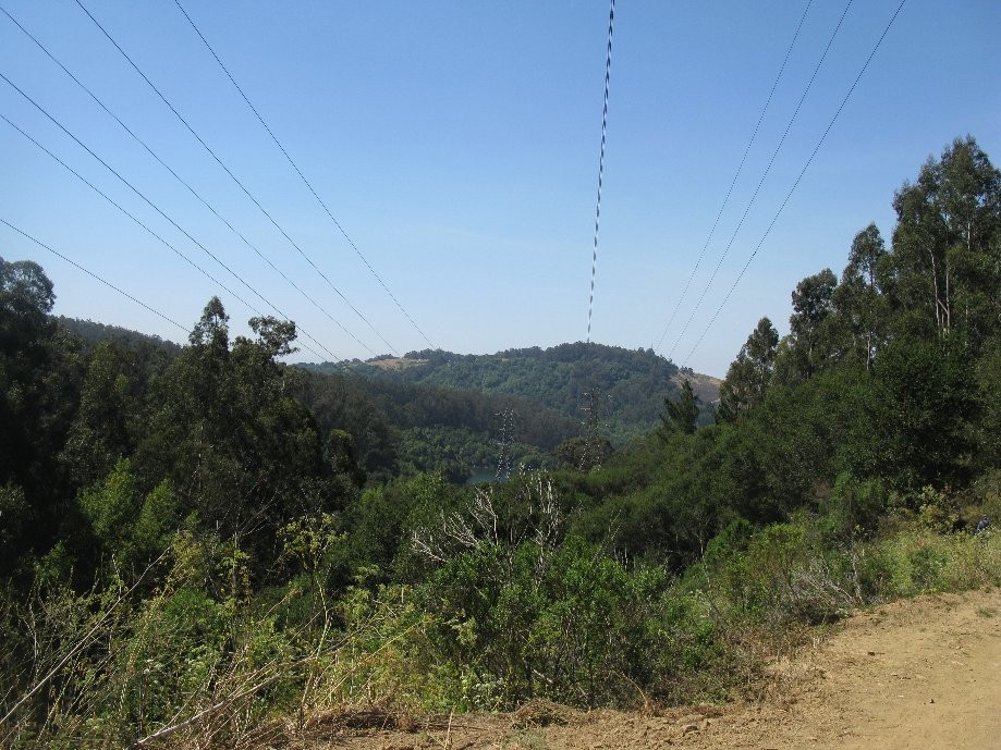
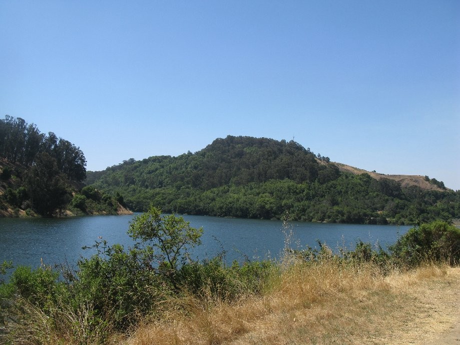
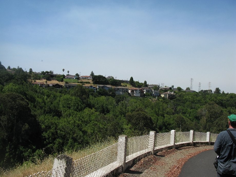
Chart (Mouse wheel zooms in)
Story
Outing of the East Bay Casual Hikers in Anthony Chabot Park. Starting from the San Leandro (SW) entrance, our route was the West Ridge Trail, Bass Cove Trail, Columbine Trail, Quail Trail, Lost Ridge Trail, Hawk Ridge Road with a stop to rest/snack at the logs lining the meadow at Hawk Ridge Campground. Return was on Columbine Trail, then left uphill at the Columbine-Cascade Trail junction, left on Goldenrod Trail, straight on Bass Cove Trail, and down West Ridge Trail.
Quick video recap at: https://www.relive.cc/view/1674743442
Quick video recap at: https://www.relive.cc/view/1674743442