Granite Mountain Lookout
Map Explore
Photos
Chart (Mouse wheel zooms in)
Story
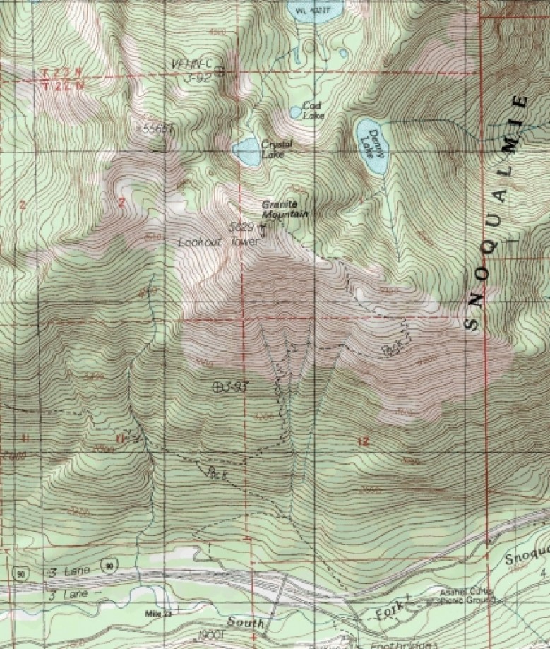
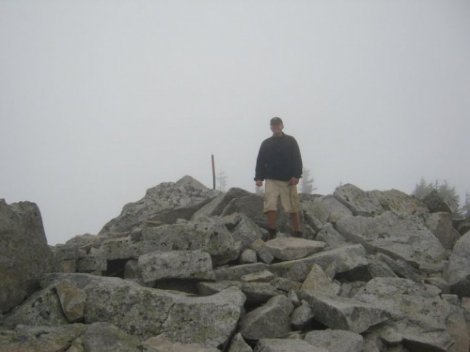
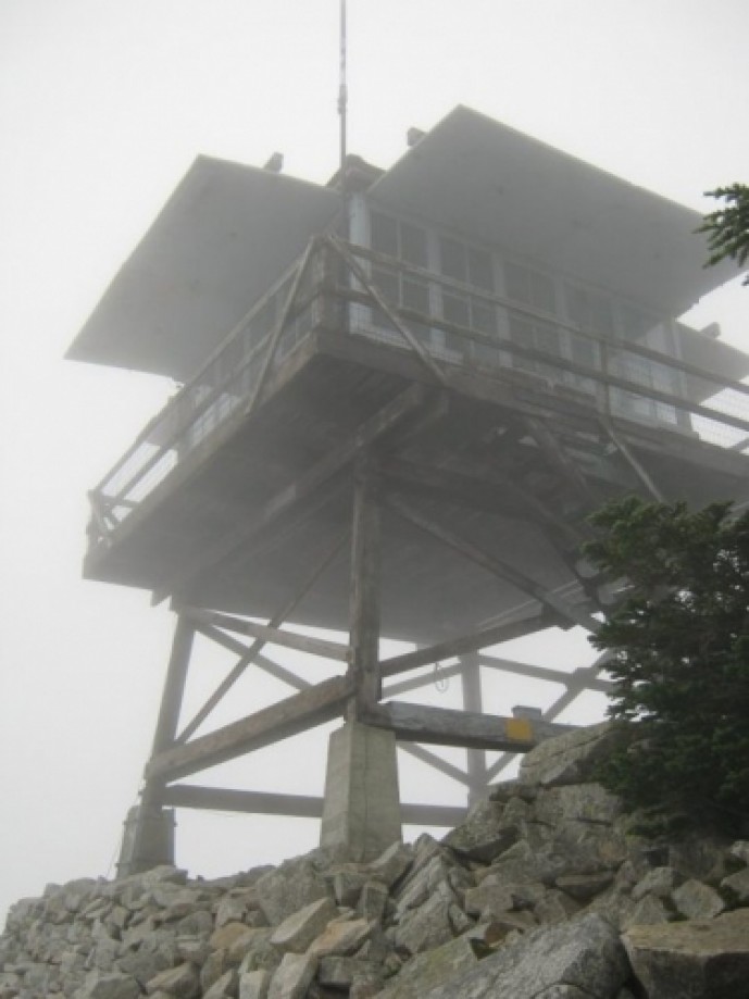
This was going to be a unit 'morale & team building' event, but after reading the trail description and looking at a topo, my RNCO and I decided to do a trail recon. Edited/repaired the first part of the track up [Sorry about the odd leg on the GPS (the one that crosses I-90) - there was quite a bit of fog/low clouds when we started off; the actual track at the bottom is obviously the one that doesn't cross the freeway.]This was a steep one, as promised by the WTA website trail description. Lots of beauty along the way - the forested lower section, the alpine meadows, the scattered granite and boulder fields (although we only got to see it 200' at a time due to the low ceiling). On a clear day, there would be several points with decent views - especially the summit.


