Piton Rouge
Map Explore
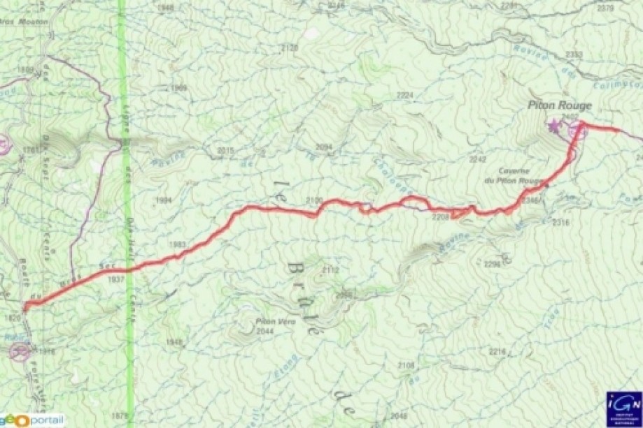
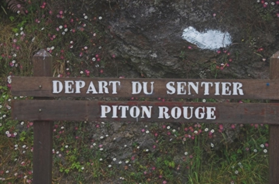
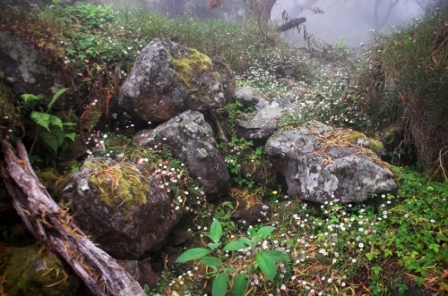
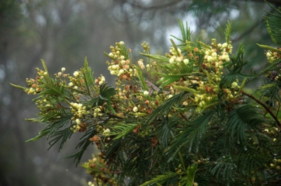
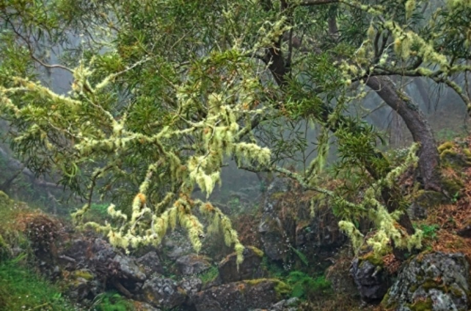
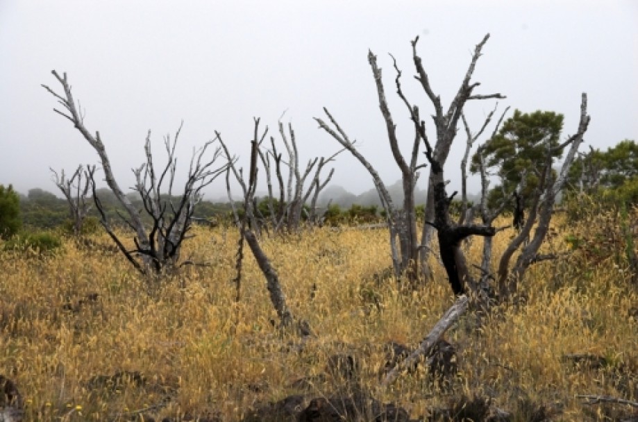
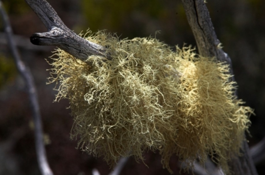
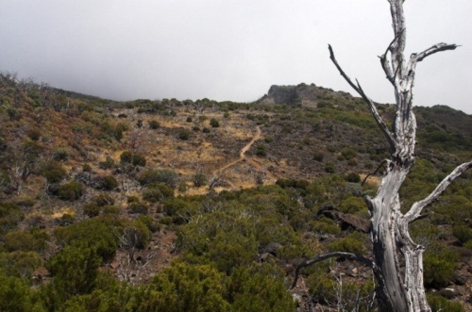
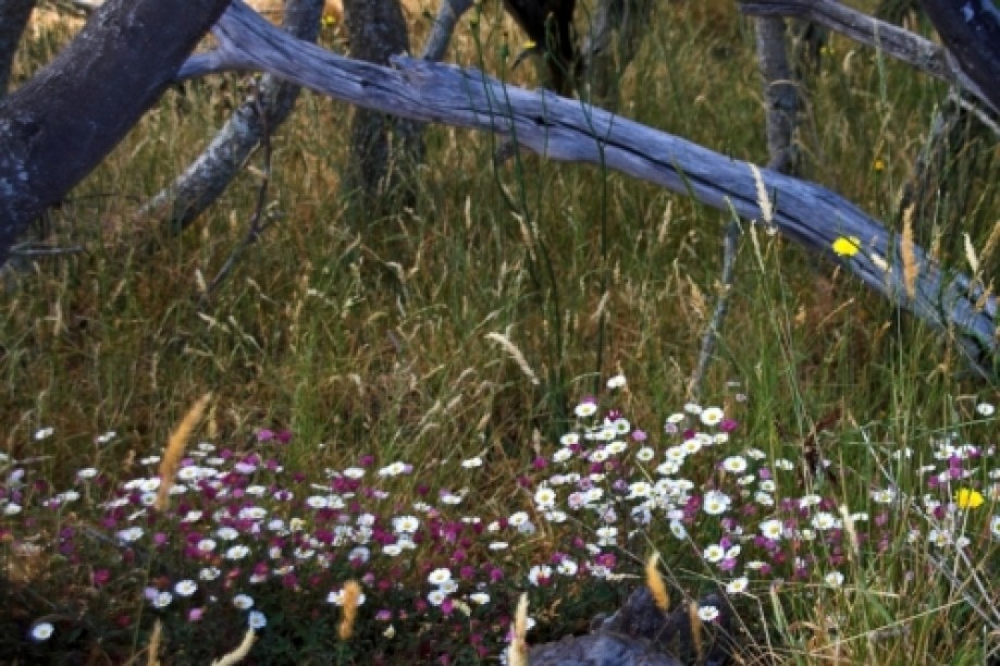
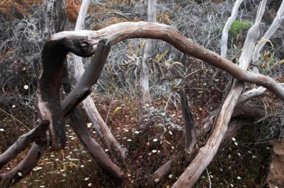
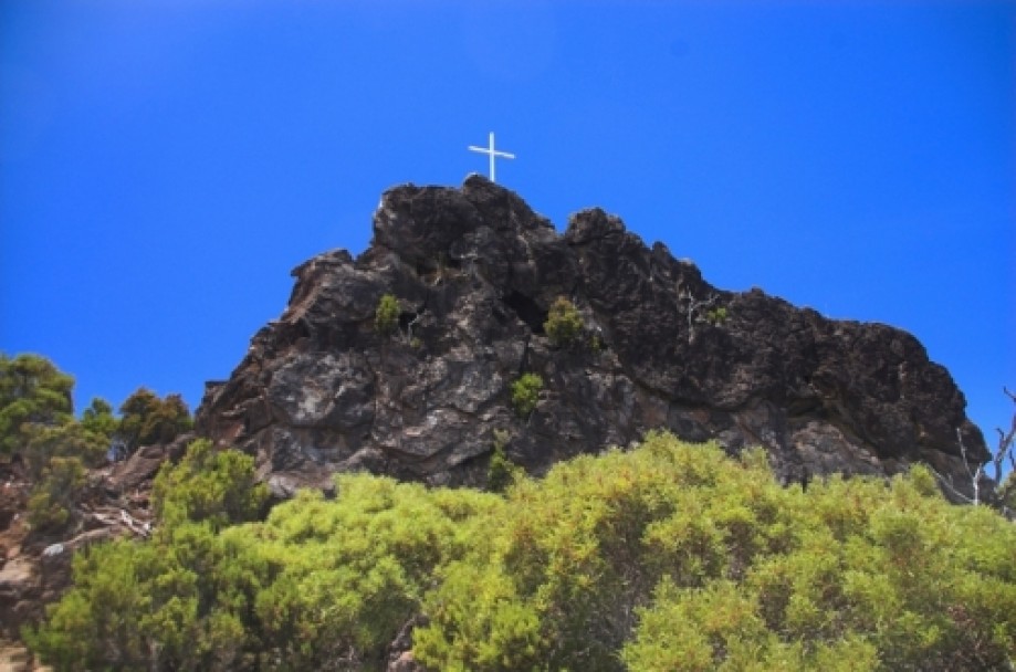
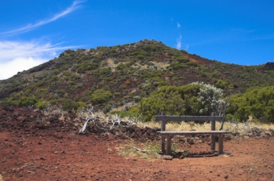
Chart (Mouse wheel zooms in)
Story
The trail to Piton Rouge (French
for Read Peak)
starts on the eastern side of the Forest Road of the Tamarins, near the Bras-Sec gully,
between the village of Le Tévelave and the Maido Peak.
The
path begins with a series of stairs and very quickly the forest gives way to
sparse vegetation, made of clusters of linings and gold-silver fern. Here in
the vegetation that has experienced the wrath of the incendiary flames of 1998,
life and death come together to make room for an atypical landscape.
At this place already marked by the austere climate of high altitude,
mingles the history of the maroons (runaway slaves) who fled high up into the mountains.
The dusty dirt trail departure is transformed gradually into a slalom between
the stones. The climb is gradual but doesn’t require any great physical
difficulty.
Less than two hours after starting the hike, you reach the first memory: a
wall of volcanic origin dominated by a large white cross on its top. Here slaves
are supposed to be buried and spurs of their life were found, like some tracks
of vegetables. According to a legend, a slave called King Phaonce, who had his
personal guard, ruled severely. The discovery of stone walls and bones presumed
to be those of King Phaonce has reinforced the legend.
A few minutes later on your left is a rest area equipped with a full view of
the Piton Rouge, a volcanic cone
perched at 2400 meters. The return route follows the same path. That
day hike was spent alternatively between clear sky and mist.