Cilaos - La Plate Forme to Le Pavillon
Map Explore
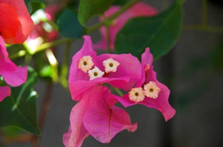
Photos
Cilaos.jpg
Cilaos-1.jpg
Cilaos-2.jpg
Cilaos-3.jpg
Cilaos-4.jpg
Cilaos-5.jpg
Cilaos-6.jpg
Cilaos-7.jpg
Cilaos-8.jpg
Cilaos-9.jpg
Cilaos-10.jpg
Cilaos-11.jpg
Cilaos-12.jpg
Cilaos-13.jpg
Cilaos-14.jpg
Cilaos-15.jpg
Cilaos-16.jpg
Cilaos-17.jpg
Cilaos-18.jpg
Cilaos-19.jpg
Cilaos-20.jpg
Cilaos-21.jpg
Cilaos-22.jpg
Cilaos.21.jpg
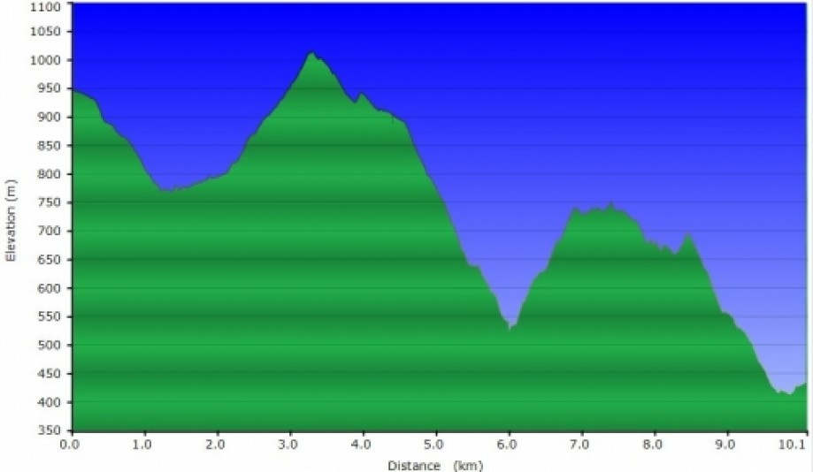
Chart (Mouse wheel zooms in)
Story
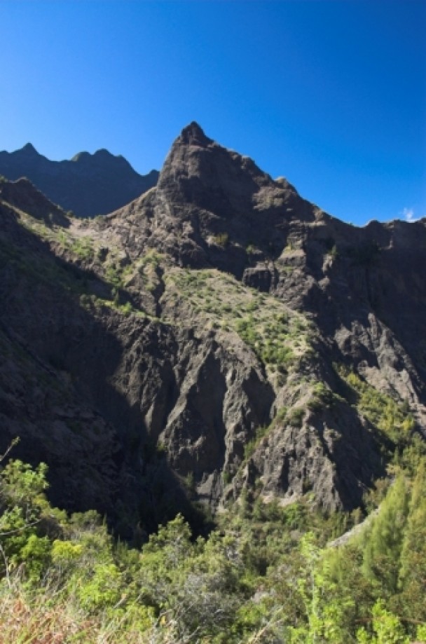
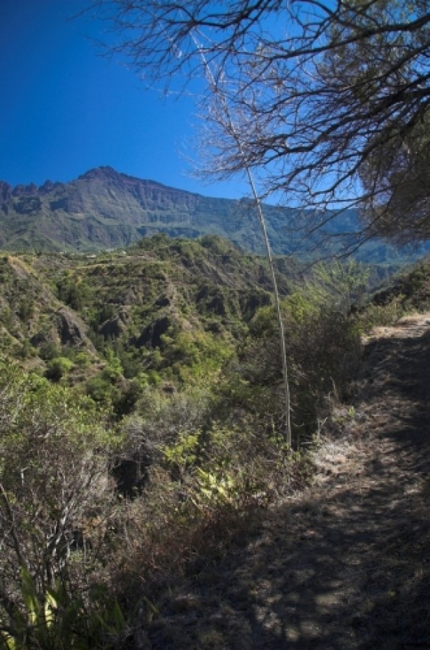
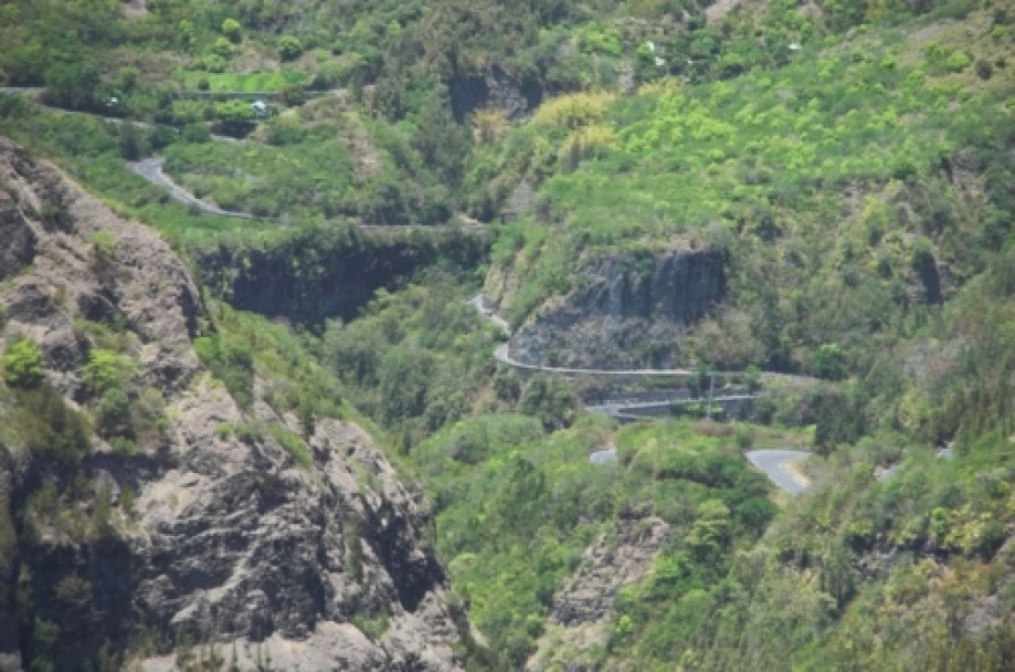
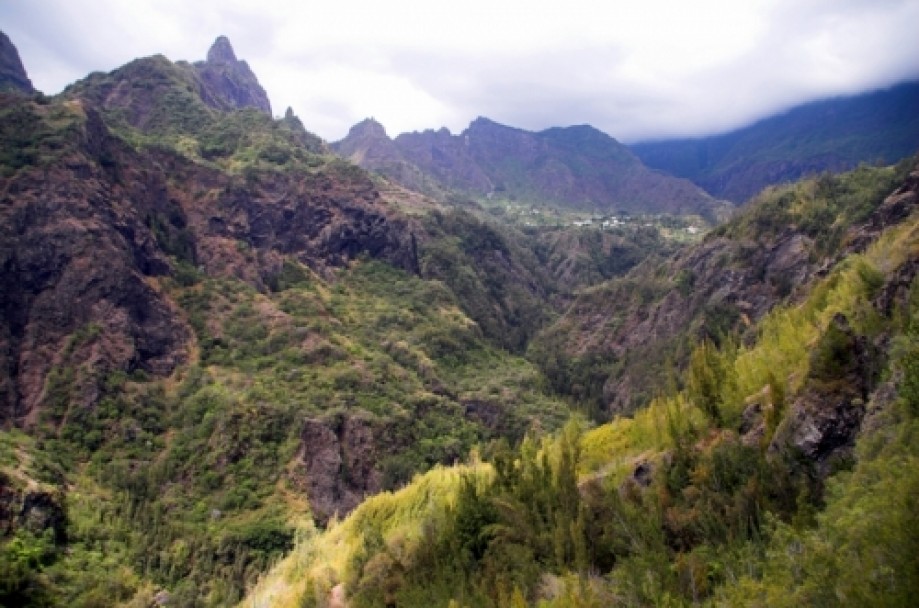
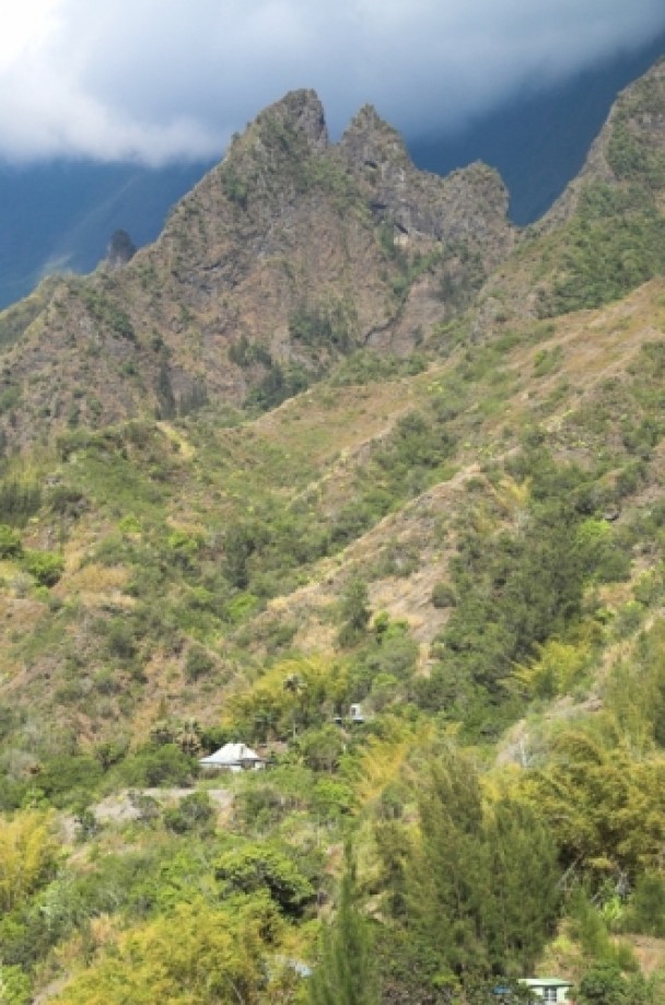
After coming out of the last tunnel on the road N5 to
Cilaos, there is a nice view on the first part of the trail from the
overlooking point that dominates the entire cirque. That trail can be seen
zigzagging down the mountain to the Bras de Benjoin brook. It takes a couple
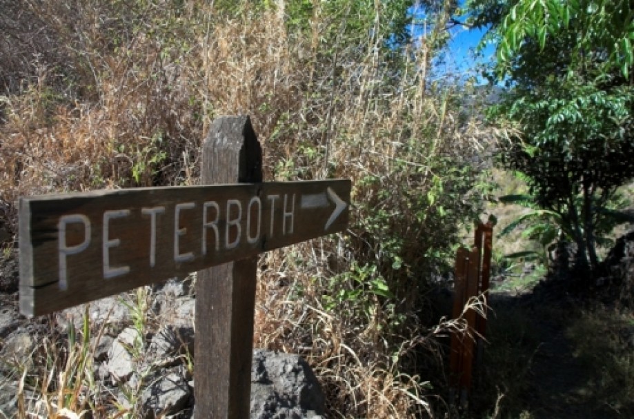
more minutes to reach La Plate Forme hamlet from where the trail begins. It’s
well marked with a post sign indicating PeterBoth. The path gently goes all the
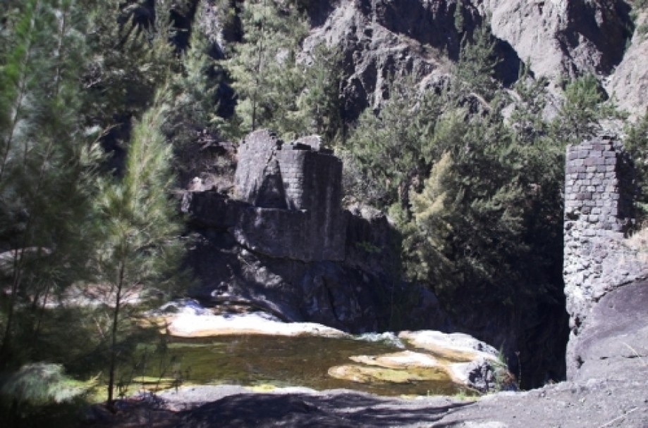
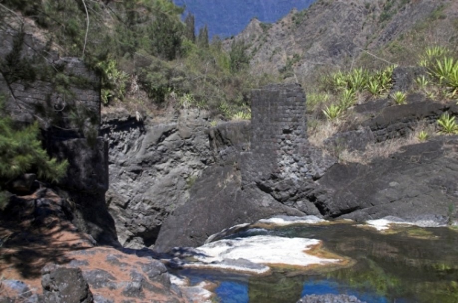
way down to the river where two pillars are still standing on each bank. Before
the opening of the road N5 in 1932, this was the main path leading to Cilaos.
After crossing the brook, it takes less than an hour to reach the pass
overlooking the village
of Peter Both and the
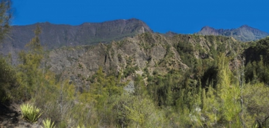
main road well known for its 500 turns. On the way up to the pass, the view on
the highest picks of La Reunion is outstanding.
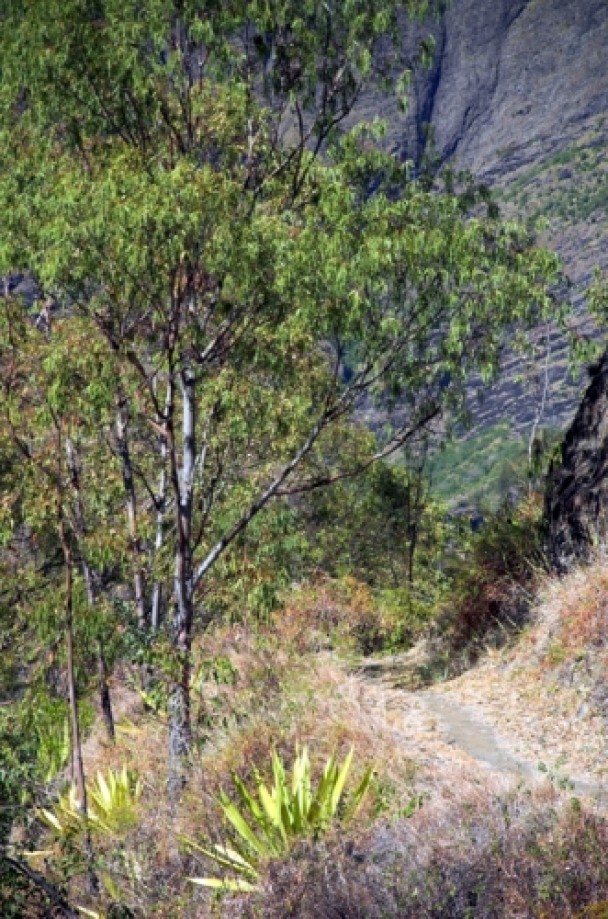
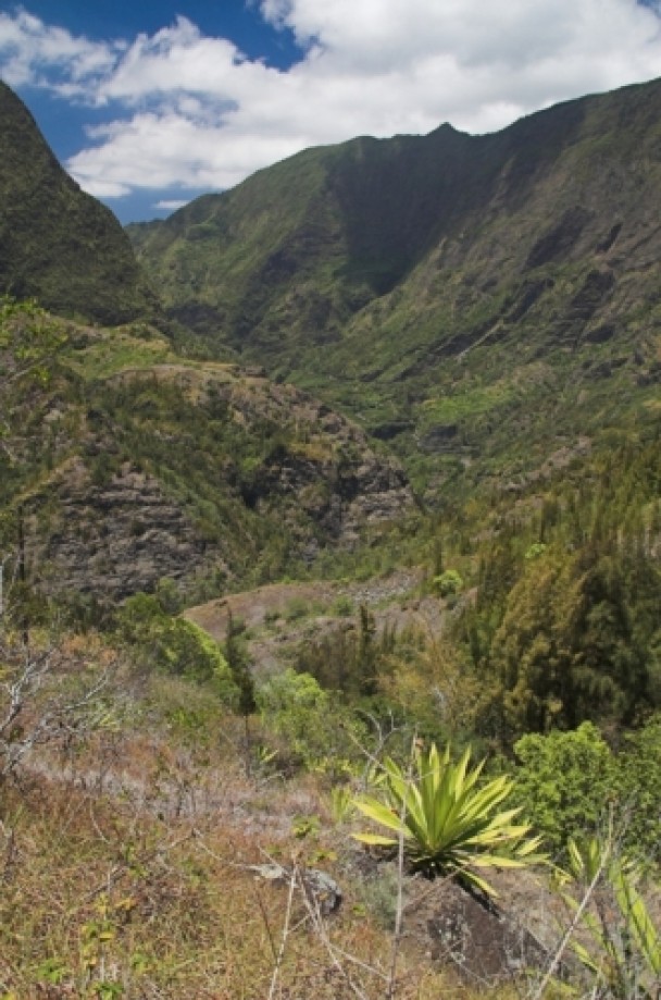
The second part of the trail starts a bit further down the
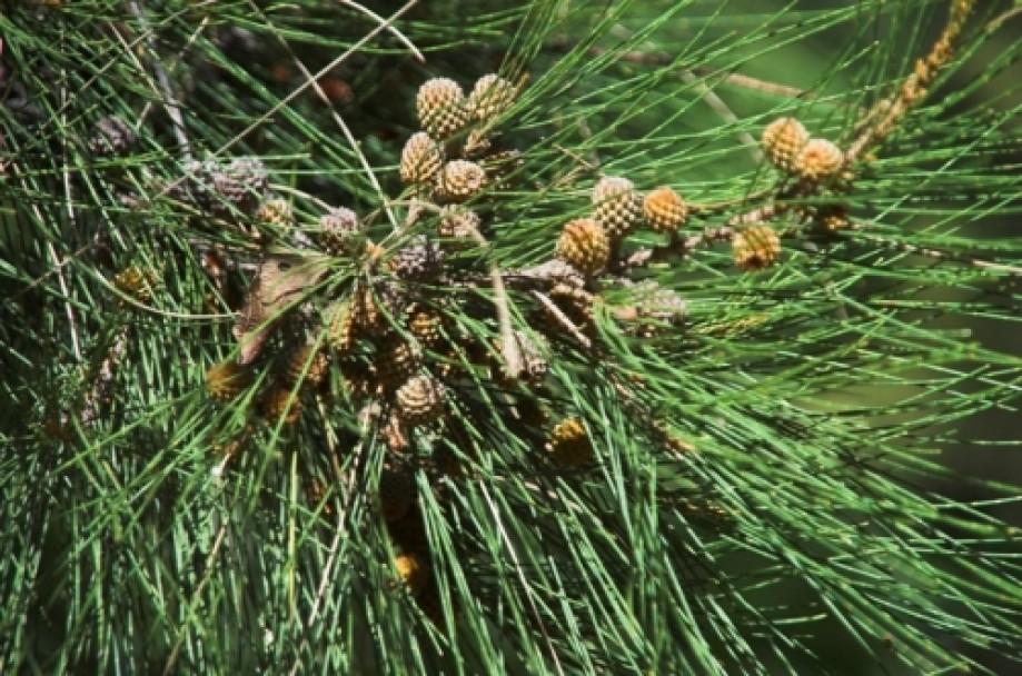
village along the main road. Partly through a pine forest, it’s then a nearly
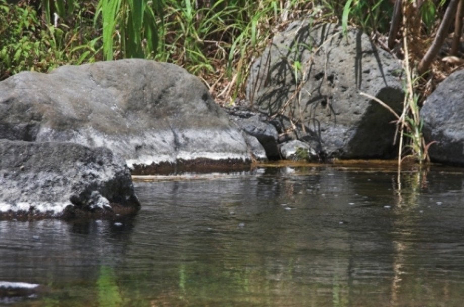
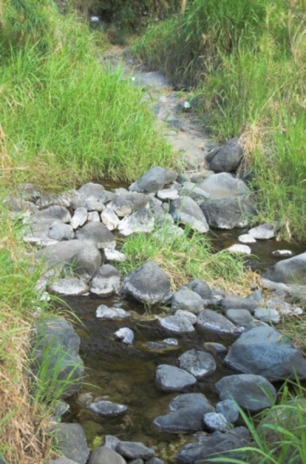
500 meters stiff descent all the way down to the Petit Bras de Cilaos creek. It
hasn’t rained for quite a while here and the water level has dropped by a few
centimeters. The day was particularly muggy and I felt like taking a swim in
the nearby pool a bit further up the creek. But instead I decided to take a
lunch break and rest for a while. I nevertheless removed my shoes after lunch to
soak my feet and relax for a while before getting back on the trail for the
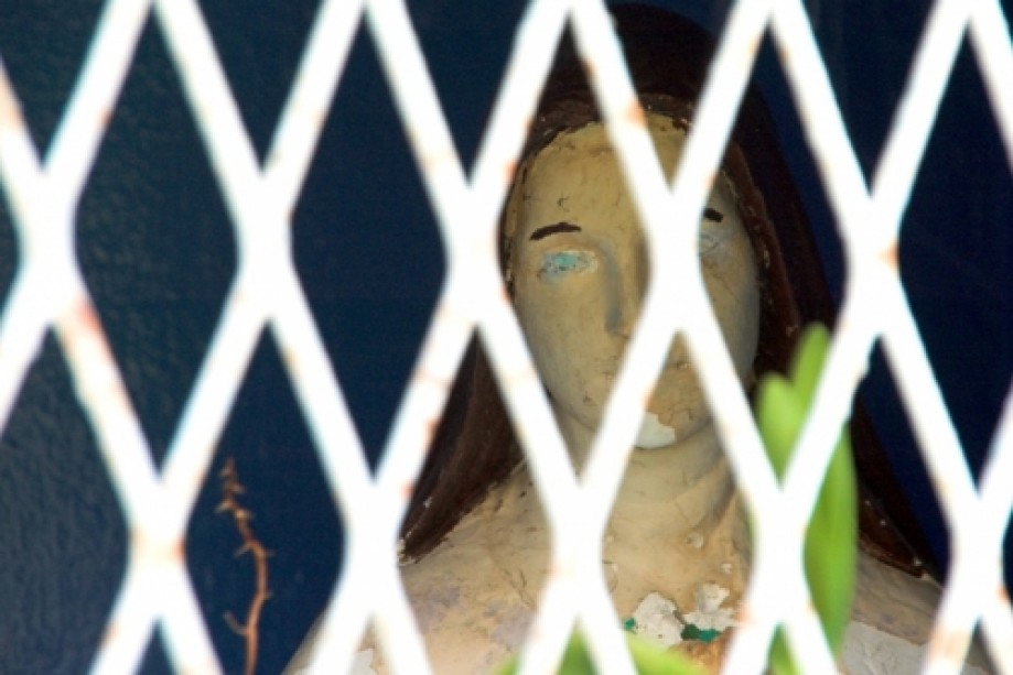
last 200 meters ascent of the day that leads to a small plateau where the very tiny
hamlet of Ilet Haut, with no more than half a dozen dwellings, is located. A
Virgin Mary behind a grille marks the beginning of the remaining 300 meters
descent to Le Pavillon where a nice and fresh Dodo beer was awaiting for me.