Stebbins Cold Canyon Reserve
| Date | 2011-10-16 |
| Distance | 7.6 km4.7 mi |
| Duration | 3h:29m |
| Photos | 63 |
Map Explore
Photos
DSC05396.JPG
IMG_20110714_124302.jpg
IMG_20110714_130218.jpg
IMG_20110714_130241.jpg
DSC05397.JPG
DSC05501.JPG
DSC05398.JPG
DSC05399.JPG
DSC05502.JPG
DSC05503.JPG
DSC05504.JPG
DSC05506.JPG
DSC05400.JPG
DSC05401.JPG
DSC05402.JPG
DSC05403.JPG
DSC05507.JPG
DSC05404.JPG
DSC05405.JPG
DSC05406.JPG
DSC05408.JPG
DSC05409.JPG
IMG_20110714_143945.jpg
IMG_20110714_144041.jpg
DSC05411.JPG
DSC05412.JPG
DSC05508.JPG
DSC05410.JPG
DSC05413.JPG
DSC05414.JPG
DSC05509.JPG
DSC05415.JPG
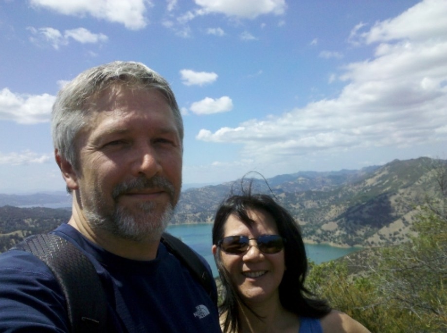
IMG_20110714_145218.jpg

DSC05510.JPG
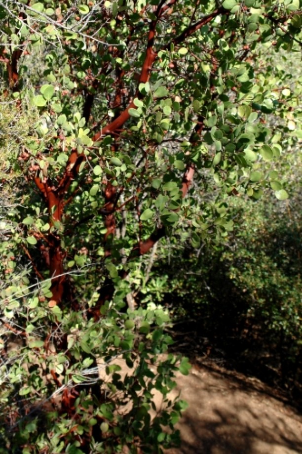
DSC05512.JPG
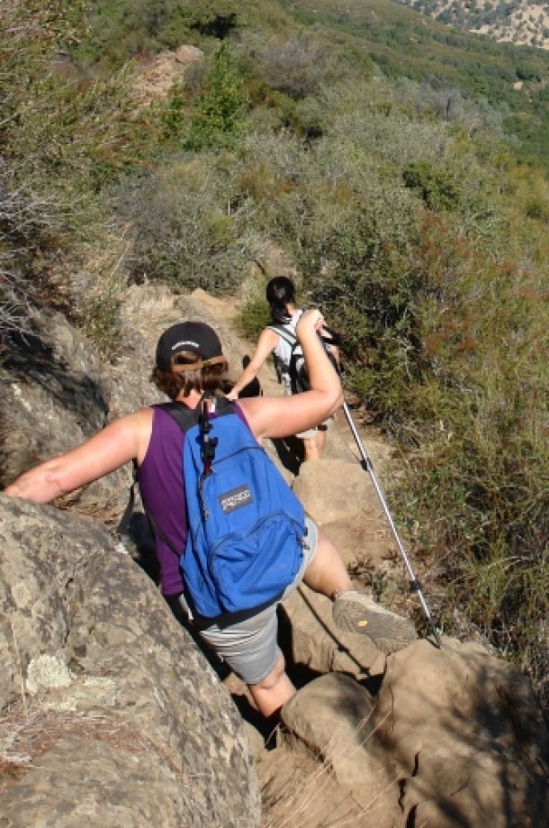
DSC05513.JPG
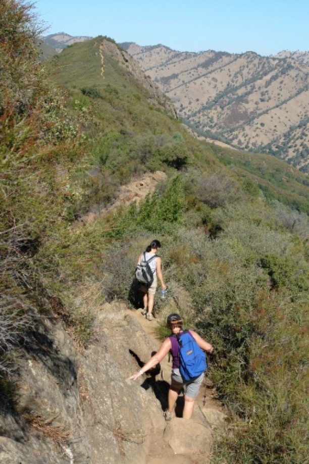
DSC05515.JPG
DSC05516.JPG
DSC05420.JPG
DSC05421.JPG
DSC05422.JPG
DSC05423.JPG
DSC05424.JPG
DSC05426.JPG
DSC05427.JPG
DSC05428.JPG
DSC05429.JPG
DSC05518.JPG
DSC05519.JPG
DSC05520.JPG
DSC05430.JPG
DSC05431.JPG
DSC05521.JPG
DSC05432.JPG
DSC05433.JPG
DSC05522.JPG
DSC05434.JPG
DSC05525.JPG
DSC05526.JPG
DSC05527.JPG
DSC05528.JPG

DSC05531.JPG
DSC05532.JPG
Chart (Mouse wheel zooms in)
Story
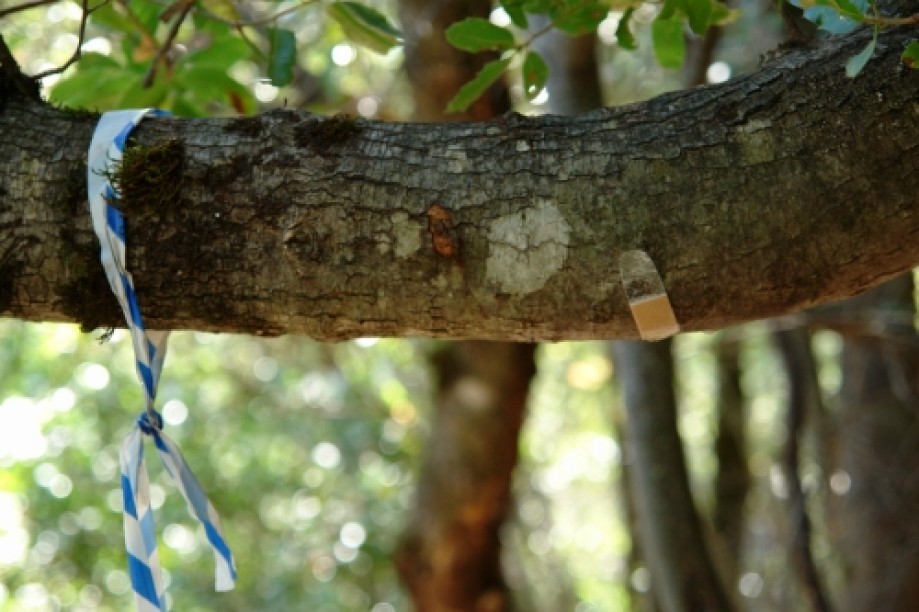
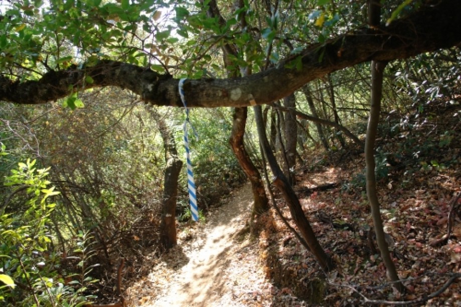
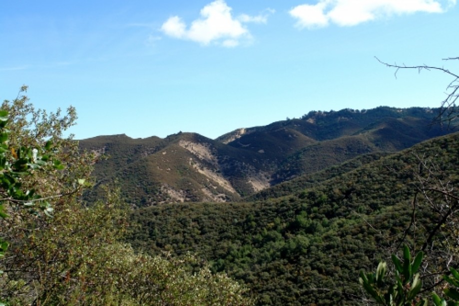
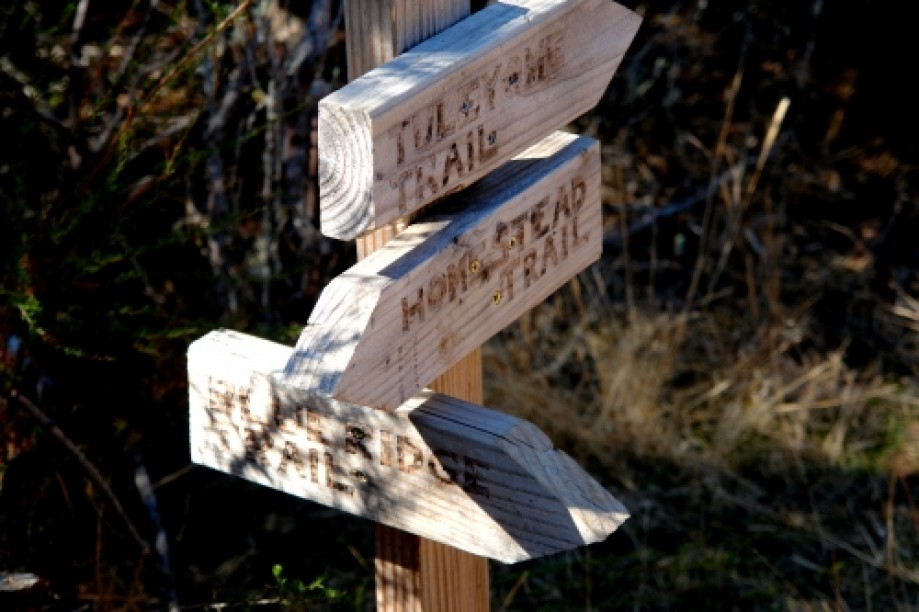
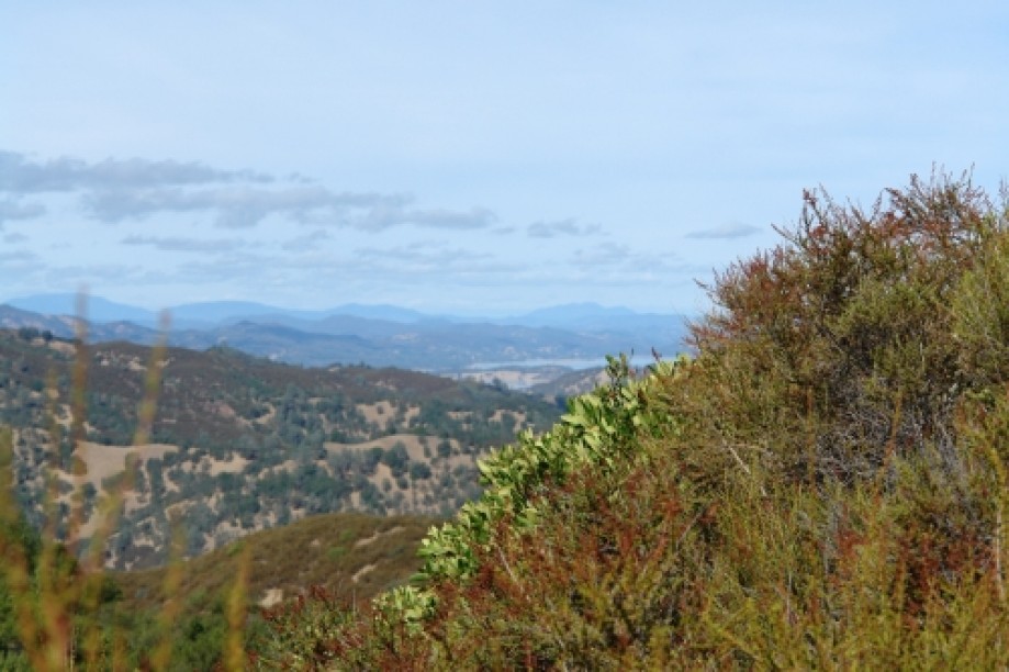
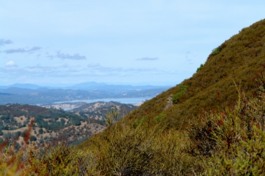
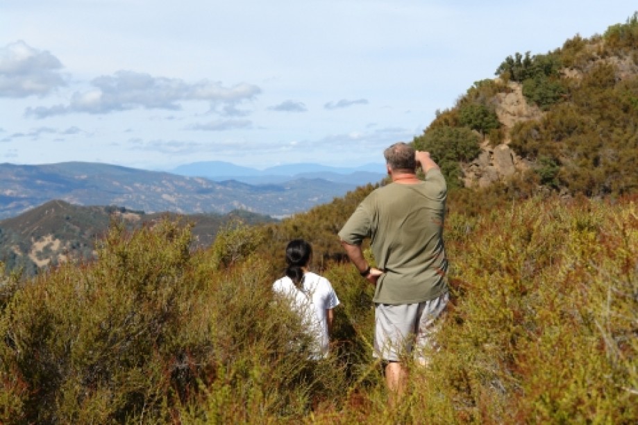
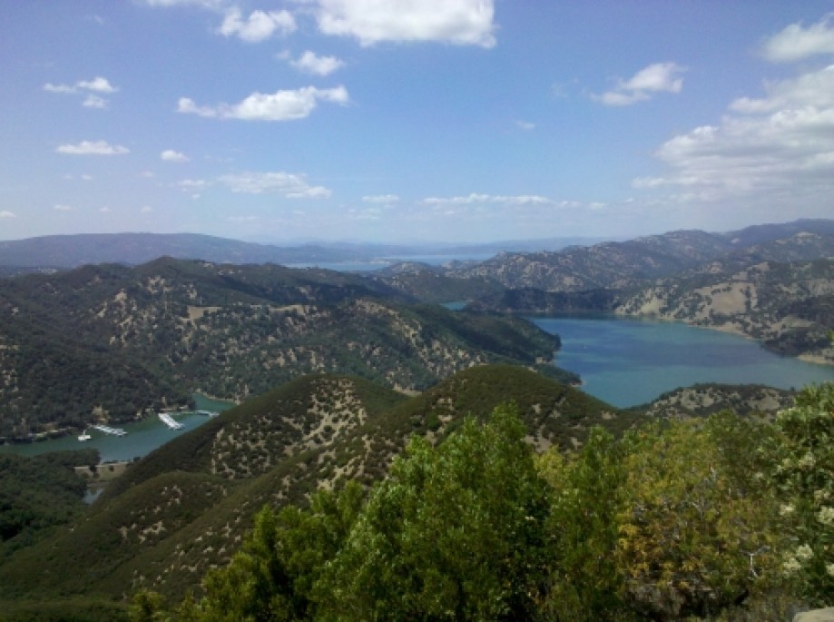
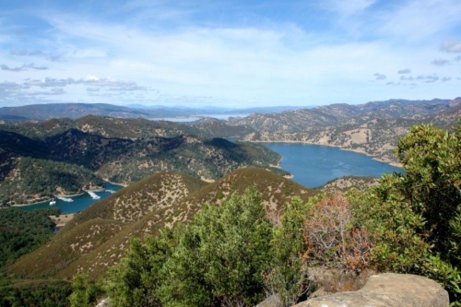
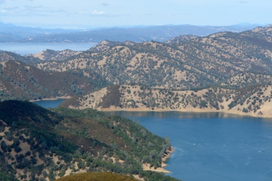
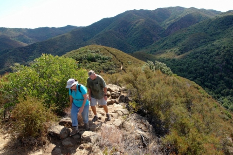
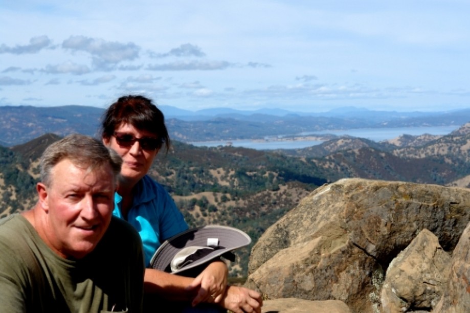
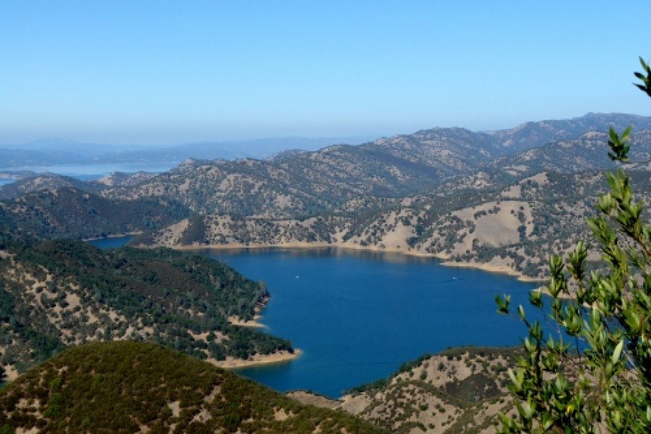
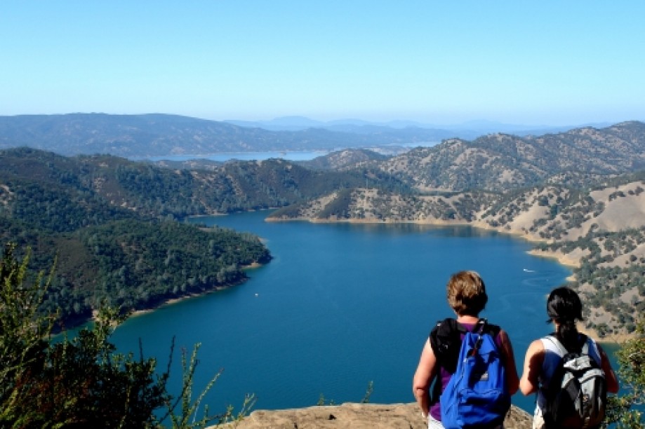
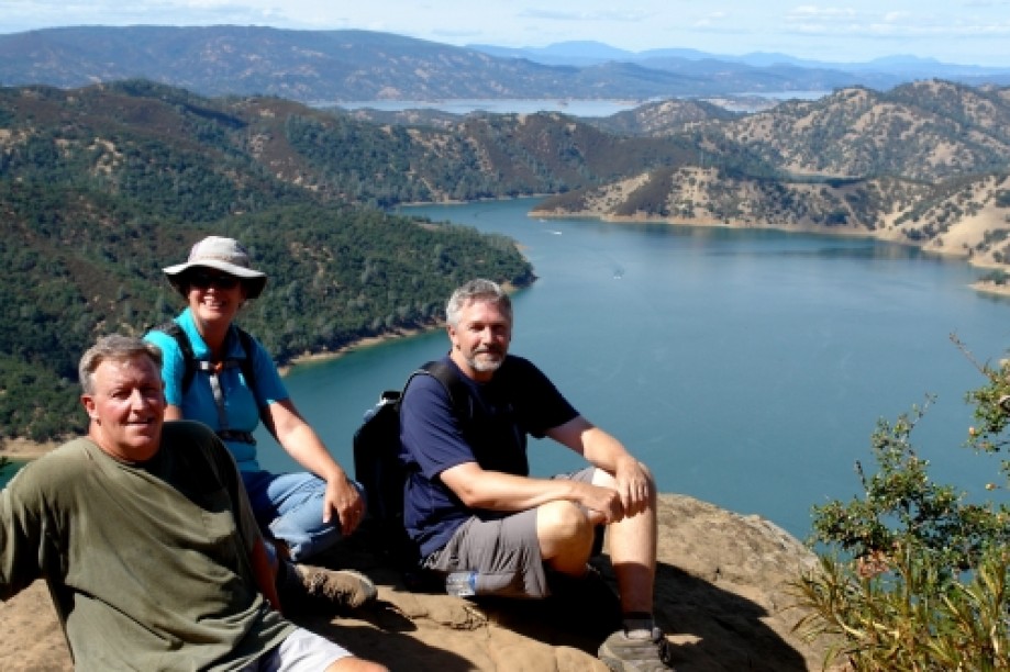
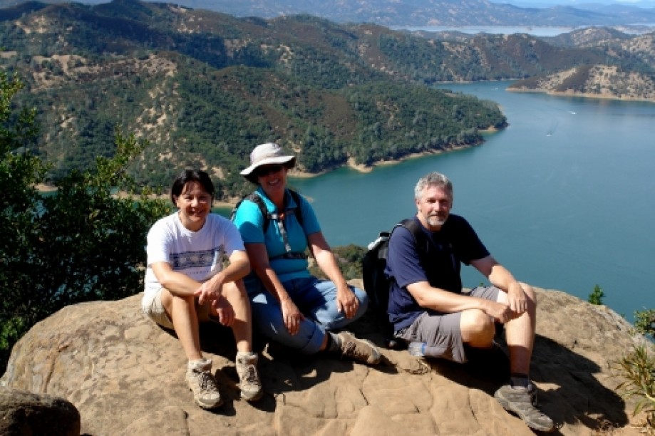
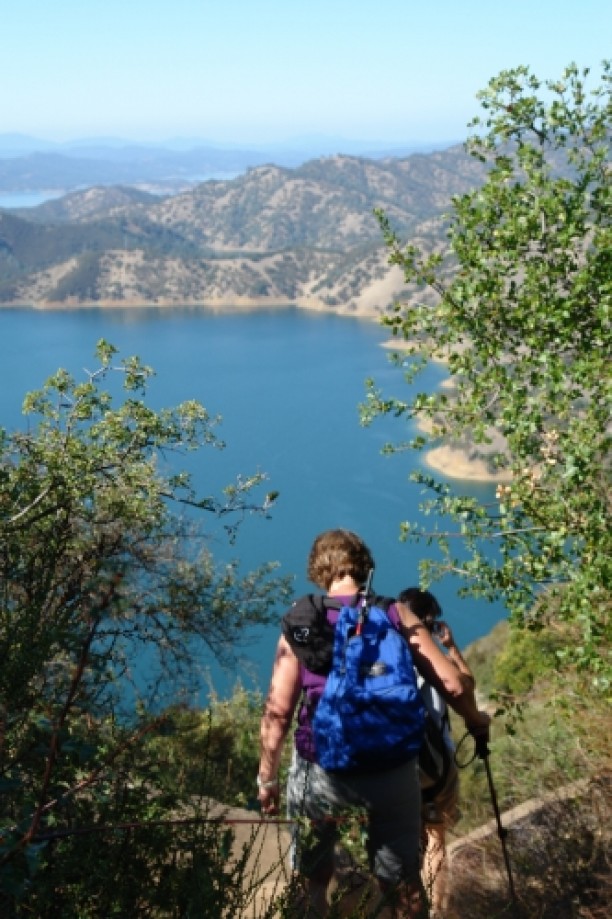
My wife and I have just started hiking in preparation for a Machu Picchu trip next May (2012). We thought this was a beginner-to-intermediate trail, so we did the loop trail to Blue Ridge. It was a lot more strenuous than we expected, but maybe we're just out of shape. We'll try this one again once we've trained some more. But even though this totally whipped our butts, the view of the lake and tributaries from the top was awesome and overall we really enjoyed it.Update #1: We did this hike again today (Oct 2) after hiking every weekend for the last 12 weeks or so. It was much easier this time, so I guess we were just out of shape the first time. Even though it was easier, I would still classify this one as moderate - advanced. Still an awesome hike. Maybe next time we'll walk it in the opposite direction, or explore some adjacent trails. I couldn't acquire enough satellites this time to get good GPS data, but I got enough to geotag the pictures and then add them to this trip.Update #2: We did this hike a third time now (Oct 16). No surprises - still an awesome hike. I updated the GPS file and added some more pictures. The first time we did this hike on July 14, I had bumped my head pretty hard on a big branch that was hanging over the trail mid-way through the hike. The second time we did it, someone had tied a ribbon around the branch and also stuck a bandaid on it (see the picture on the map), so I guess I wasn't the only one who bumped my head on it. This time someone had sawed it off so it couldn't attack people anymore. It looked like a clean cut with a chain saw, so we assume it was cut off by park authorities and not by an angry hiker. :)
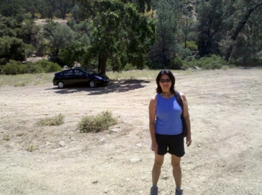
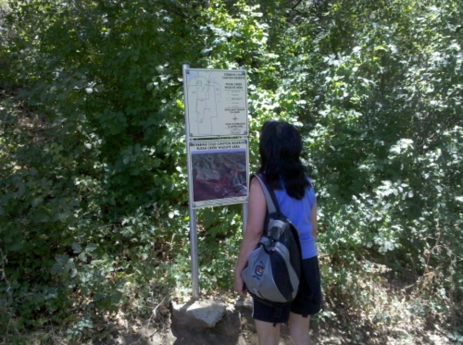
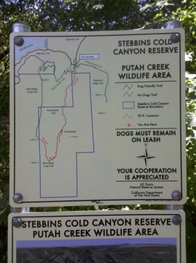
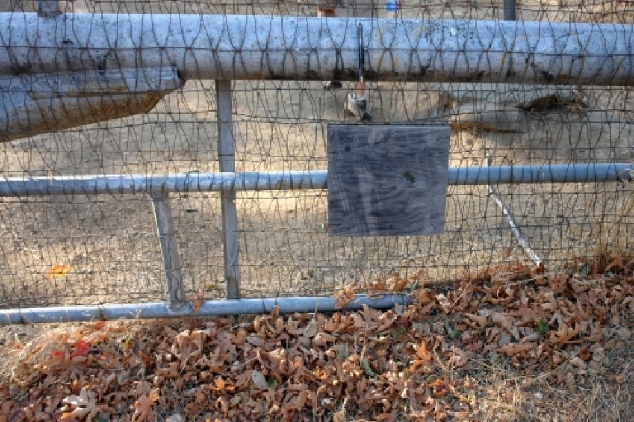
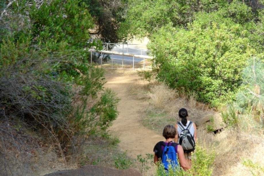
The first time we came here, we parked in the wrong parking area. We were coming from Winters (had a nice lunch at the Putah Creek Cafe) and had instructions to pull in to the dirt parking lot right after the RV camp. Immediately after the RV camp was an entrance to a very large dirt parking area, so we took it, but we couldn't find the trail head. Luckily we had the EveryTrail app on my Android phone, so we could tell what direction the trail start should be, so eventually we found the second parking area that we should have parked in. It's a smaller dirt parking area close to and easily visible from the road. From there we had instructions to cross the street and look for a UC Davis sign, but we couldn't find that sign either. The UC Davis sign must have worn down and is just a blank square board now (see picture at the start of our hike). But you can get to the trail head by exiting this parking lot from the South end, then head down a short trail that takes you to the left and back up to the street, and then cross the street and walk around the gate. Then finally take the path to the right that leads to the trail start.
The first time we came here, we parked in the wrong parking area. We were coming from Winters (had a nice lunch at the Putah Creek Cafe) and had instructions to pull in to the dirt parking lot right after the RV camp. Immediately after the RV camp was an entrance to a very large dirt parking area, so we took it, but we couldn't find the trail head. Luckily we had the EveryTrail app on my Android phone, so we could tell what direction the trail start should be, so eventually we found the second parking area that we should have parked in. It's a smaller dirt parking area close to and easily visible from the road. From there we had instructions to cross the street and look for a UC Davis sign, but we couldn't find that sign either. The UC Davis sign must have worn down and is just a blank square board now (see picture at the start of our hike). But you can get to the trail head by exiting this parking lot from the South end, then head down a short trail that takes you to the left and back up to the street, and then cross the street and walk around the gate. Then finally take the path to the right that leads to the trail start.