Maguire Peaks Loop
| Date | 2012-02-19 |
| Distance | 9.3 km5.8 mi |
| Duration | 3h:17m |
| Photos | 26 |
Map Explore
Photos
DSC00307.JPG
DSC00309.JPG
DSC00310.JPG
DSC00311.JPG
DSC00312.JPG
DSC00313.JPG
DSC00314.JPG
DSC00315.JPG
DSC00316.JPG
DSC00317.JPG
DSC00318.JPG
DSC00319.JPG
DSC00320.JPG
DSC00321.JPG
DSC00322.JPG
DSC00323.JPG
DSC00324.JPG
DSC00325.JPG
DSC00326.JPG
DSC00327.JPG
DSC00328.JPG
IMG_0015.JPG
IMG_0016.JPG
DSC00330.JPG
DSC00308.JPG
DSC00306.JPG
Chart (Mouse wheel zooms in)
Story
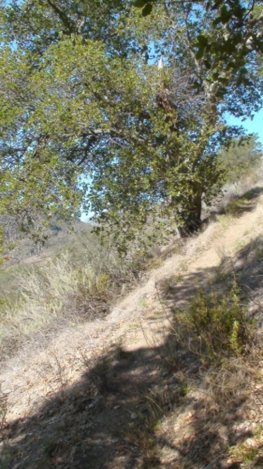
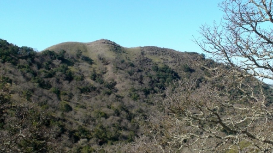
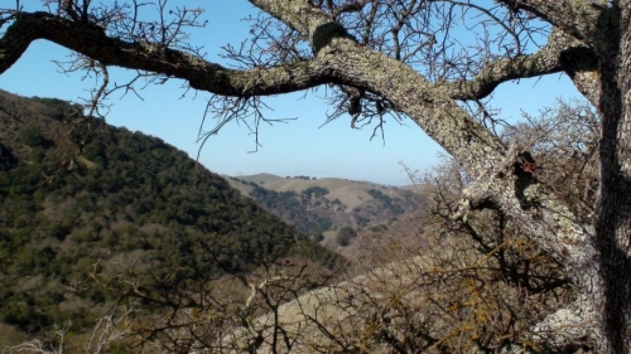
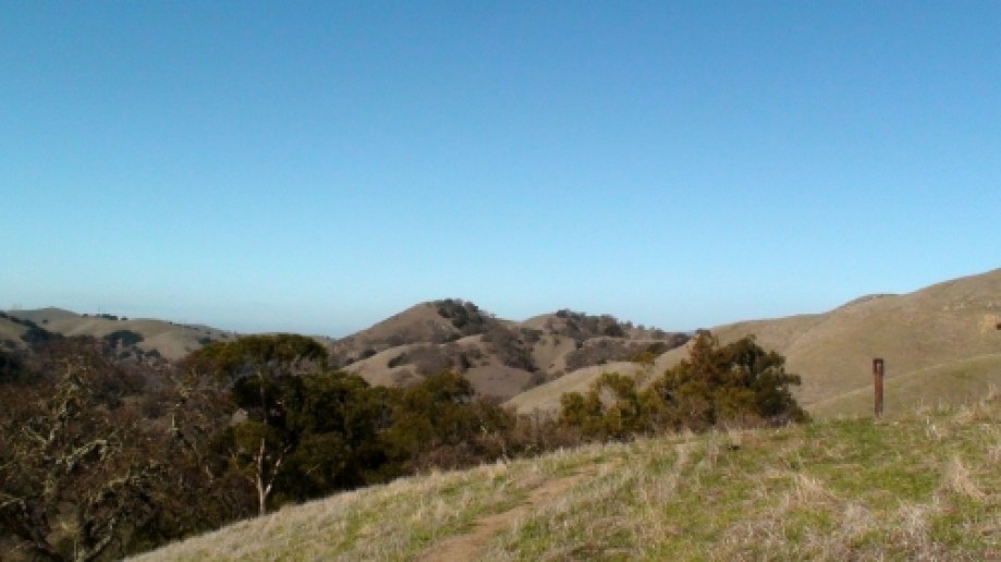
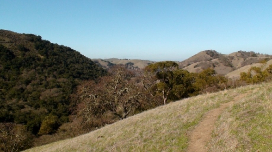
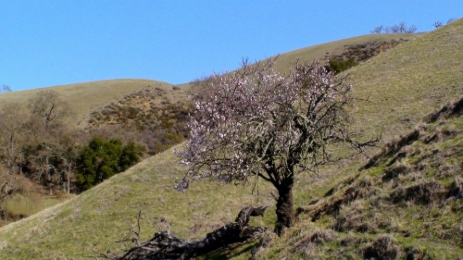
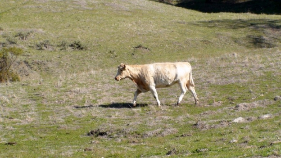
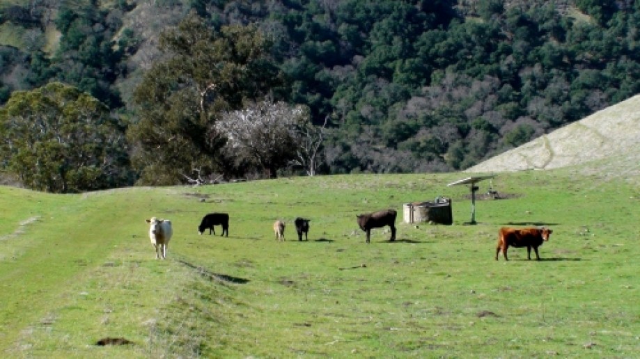
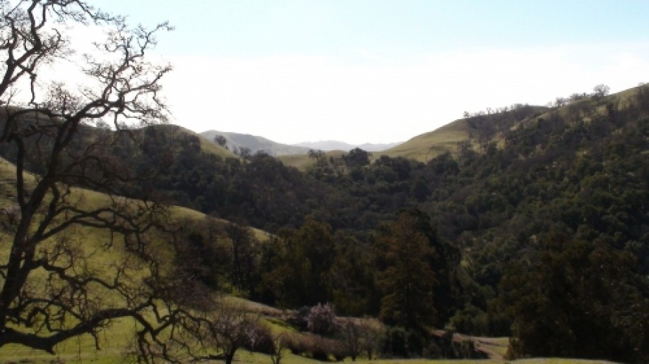
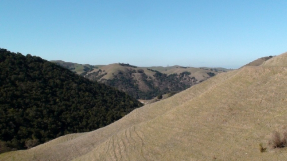
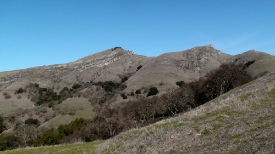
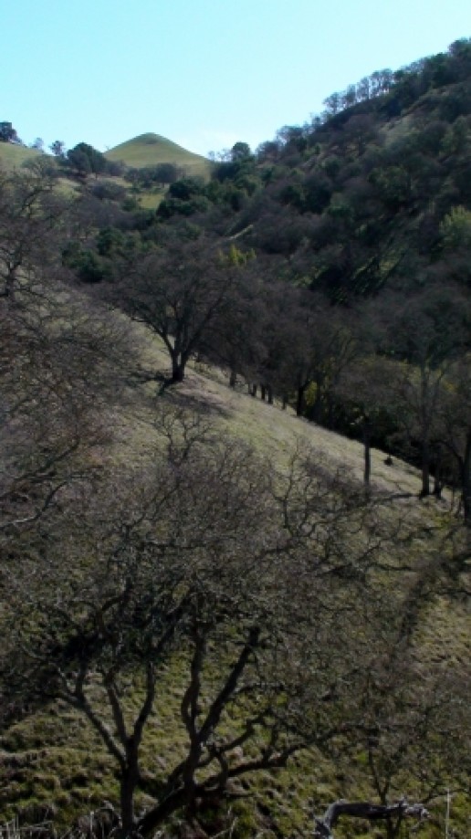
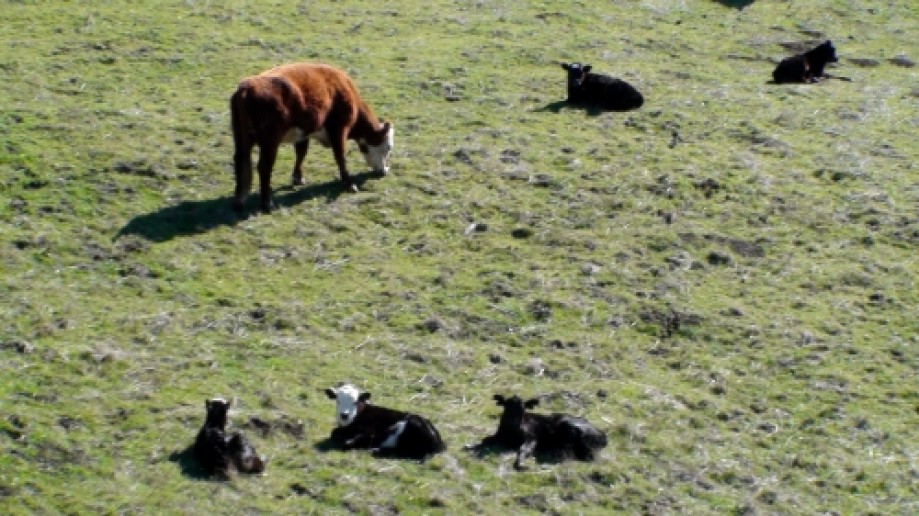
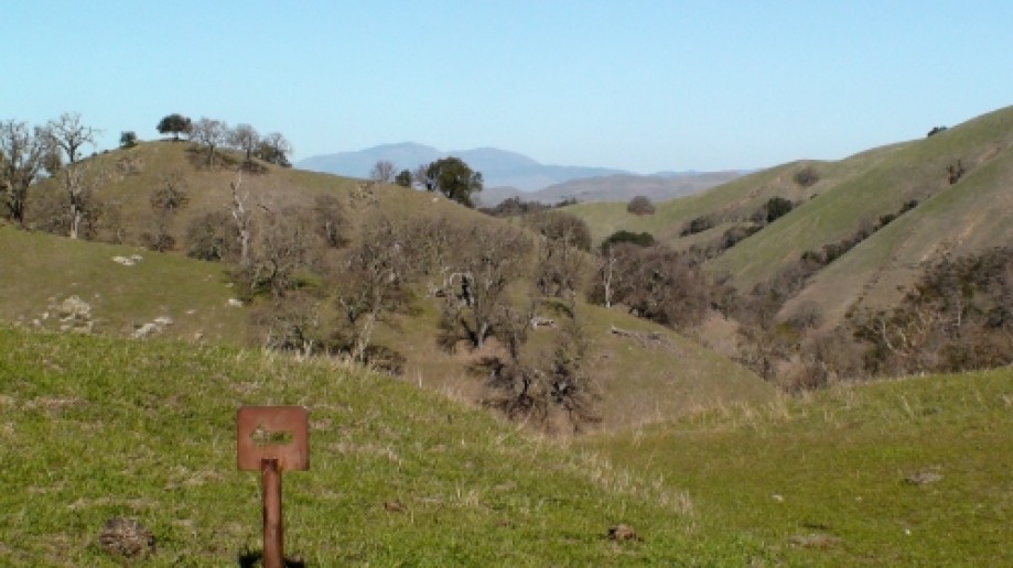
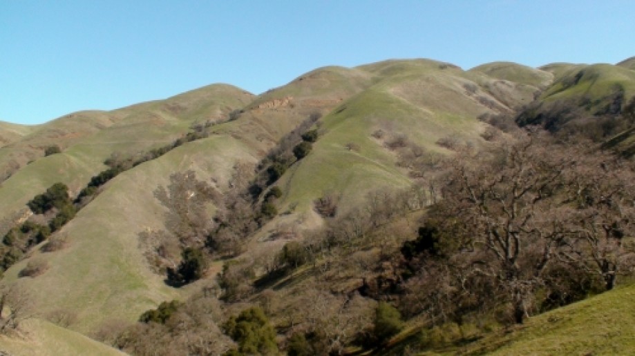
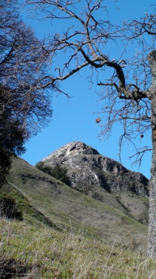
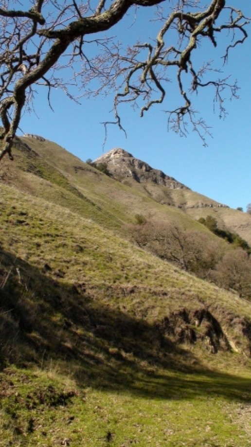
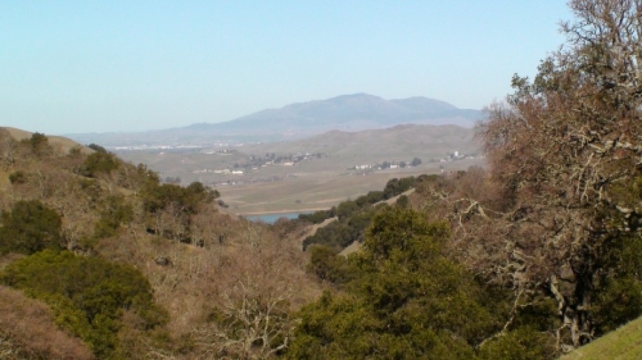
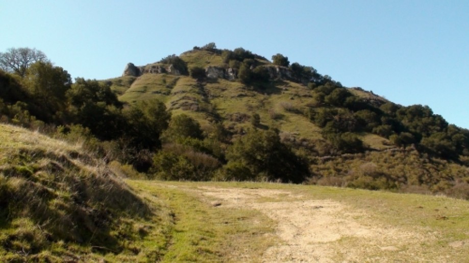
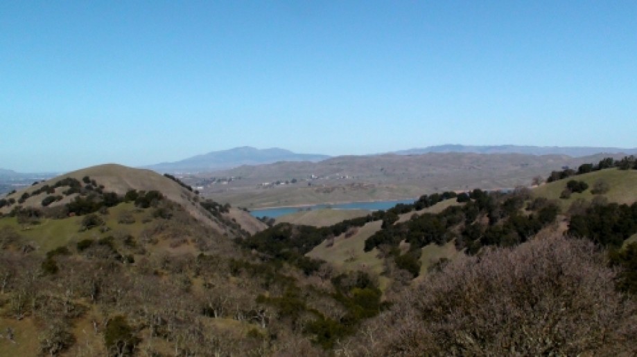
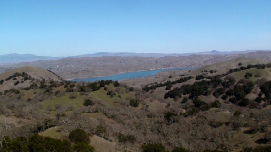
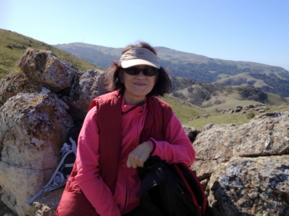
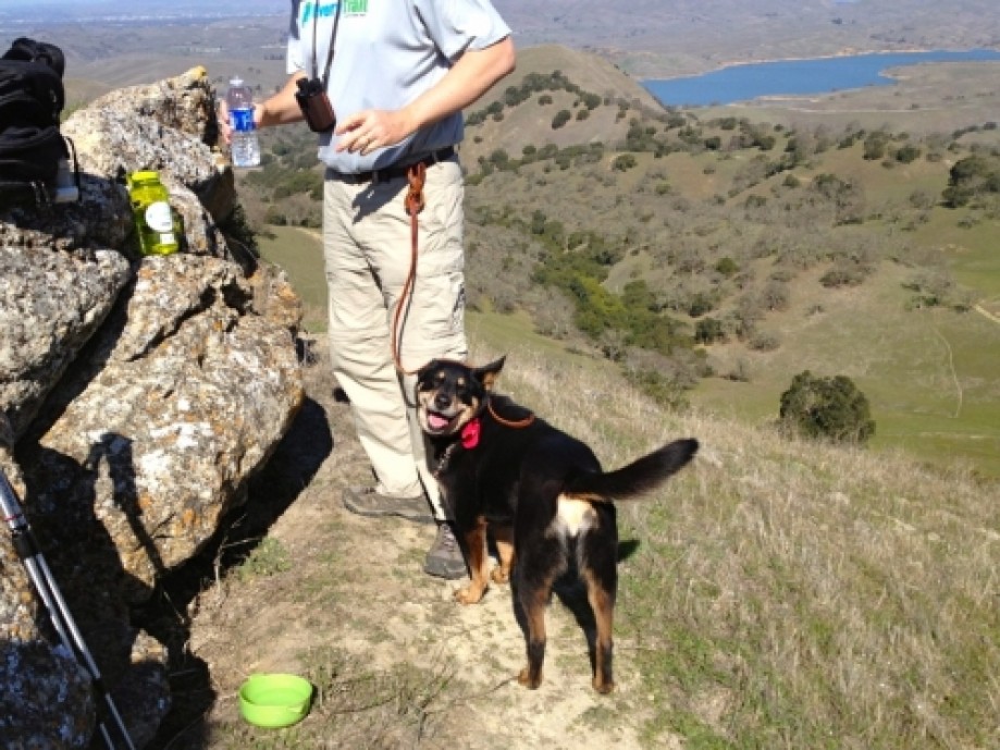
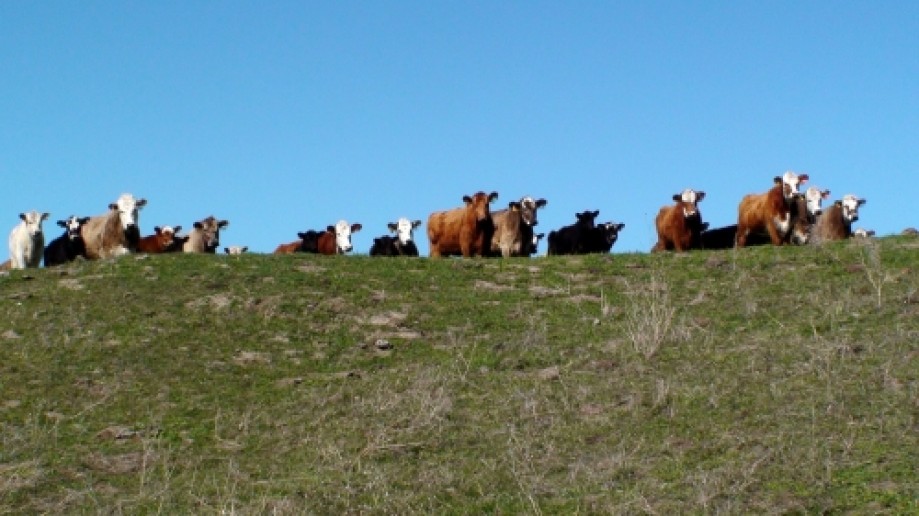
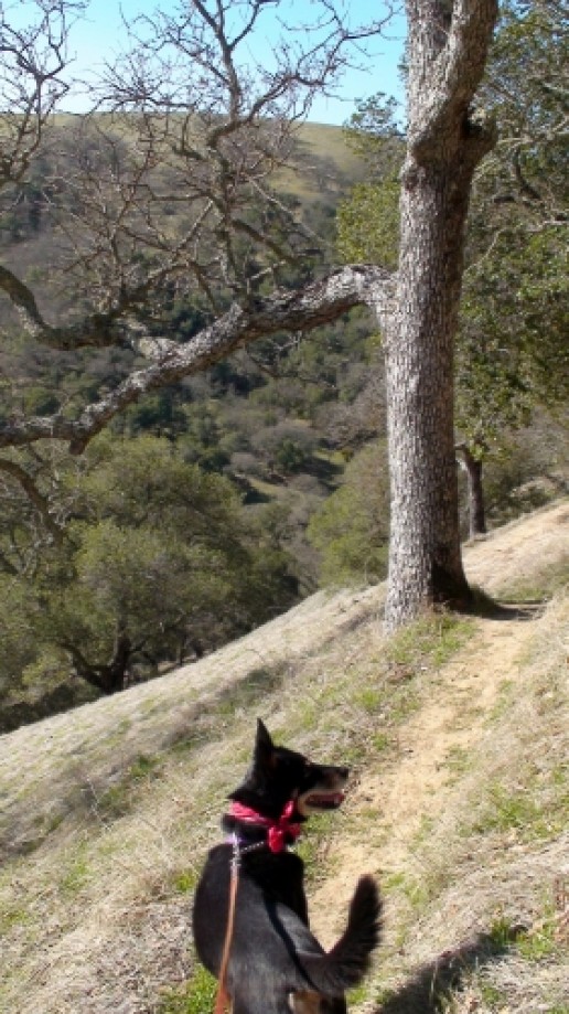
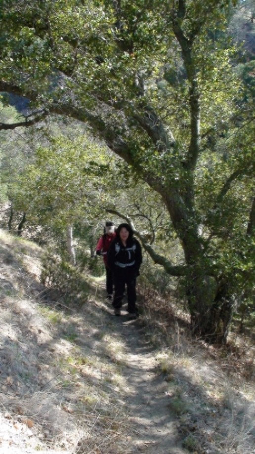
We really enjoyed this hike. You'll need a permit to park on Welch Creek Road at or near the trailhead. There's a Lower and an Upper Maguire Peaks trailhead. We chose the upper because it was a little longer, but the lower (being lower) probably has more elevation gain.To get the permit, from I-680 take Calaveras Road past Welch Creek Road and turn left on Geary Road. Take Geary to the main gate of the Sunol Regional Wilderness Park. Pay the park fee to the ranger at the Kiosk at let them know that you need a permit for Welch Creek Road. We brought our dog with us and the ranger gave us a dog biscuit too. Here at the main parking area are restrooms if you need it. Once you're ready, head back up Geary to Calaveras and turn right onto Welch Creek Road.Welch Creek road is very narrow with no shoulder in some places, so drive carefully. Luckily we only encountered one car coming the opposite way and it happen to be at a place with enough shoulder for us to pass easily. The trailhead for the Upper Maguire Peaks Trail is at the 1.6 mile marker. If you're lucky, like we were, you can park right at the trailhead. Otherwise just park at the next available spot along the road.The trail starts out crossing a small creek. At least in February 2012, when we did the hike, the creek was small enough to cross without getting our feet wet. You'll immediately start climbing a very narrow single track through the woods with a fairly steep dropoff on your left. This narrow trail goes for about 0.6 miles until you get to the wider Maguire Peak Trail. We encountered the first cattle grazing area here and an angry cow that didn't like our dog being near her calves. She started to charge, but then changed her mind and headed over to the calves instead. They all gave us the evil eye until until we were out of sight.Follow Maguire Peak Trail toward the peaks. At 0.84 miles you'll come to the junction where you can choose to go clockwise or counter-clockwise around Maguire Peaks Loop. We were following Rage's EveryTrail trip so we continued straight to go counter-clockwise around the peaks. 0.28 miles from this junction you'll come to another and here you'll make a sharp left uphill turn. If you miss this turn and stay on the wider path you'll come to a gate at some private property and will have to backtrack (according to the Sunol Wilderness Map). You should be climbing the loop trail now and you'll get some spectacular views. At the northwest corner of the loop is a bench with a single trail behind it leading up to the peak. We didn't take this trail, but Rage did and said the views were great. Instead we had our PB&J lunch at a rock outcropping overlooking the San Antonio Resevoir and Mount Diablo in the distance. Then we finished the loop around the peaks and took Maguire Peak Trail and Upper Maguire Peaks Trail back to the trailhead.
You'll need to get a permit at the main gate of the Sunol Regional Park. At the main gate parking area is good place to use the restroom before the hike too.
You'll need to get a permit at the main gate of the Sunol Regional Park. At the main gate parking area is good place to use the restroom before the hike too.