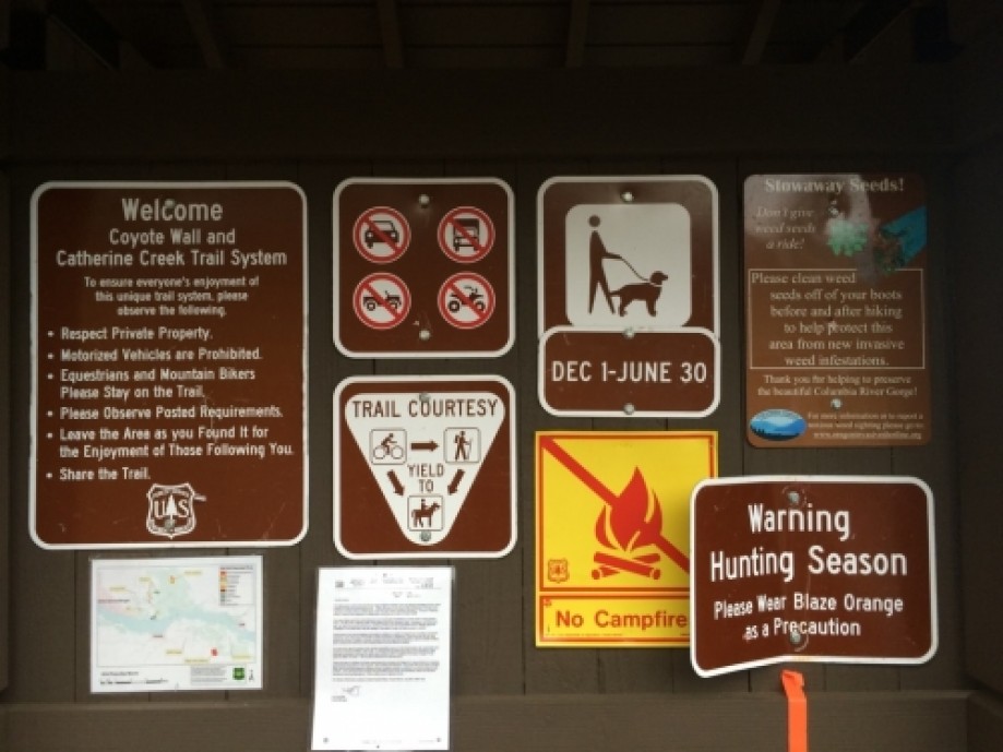
Coyote Wall and Catherine Creek Trail
Map Explore
Photos
Chart (Mouse wheel zooms in)
Story
We did different portions of this hike two days in a row. It was close to where we were
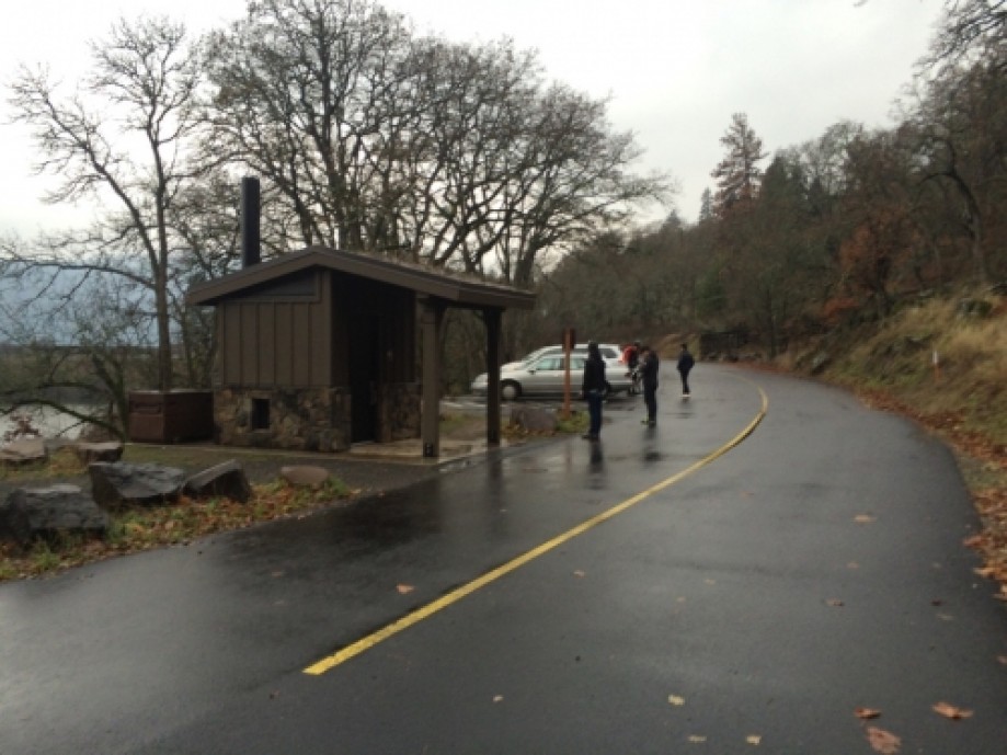
staying plus there was so much to see. Trailhead is modern with a
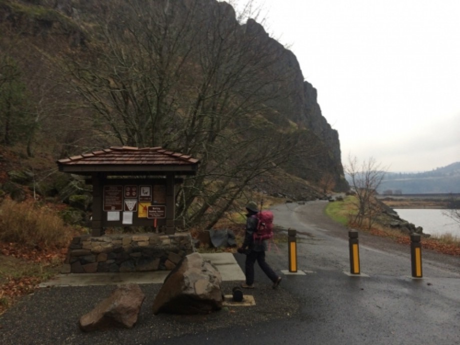
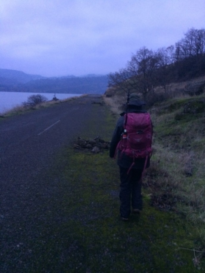
toilet. You have to walk a bit on the old highway to reach the trail
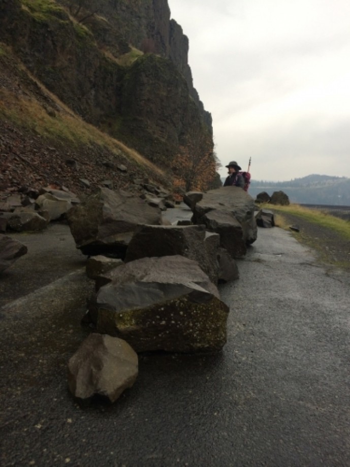
and you're sharing with bikers. The highway was relocated because of the
rock slides, as you will see when you start. Massive boulders scattered
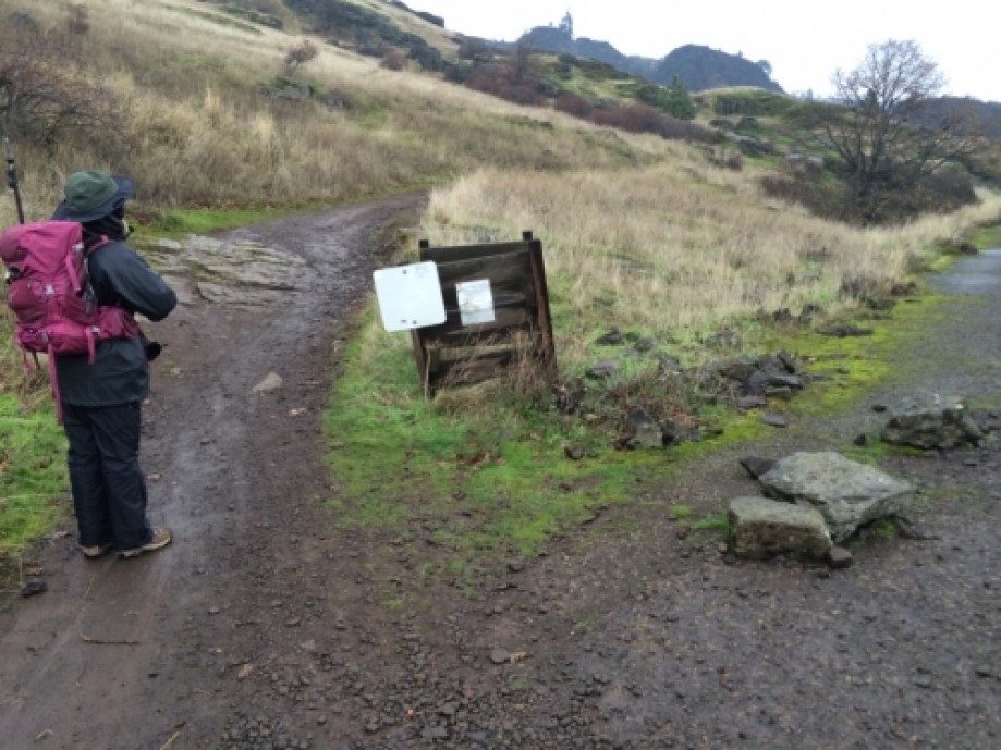
everywhere. There are two ways you can start this one. We didn't have
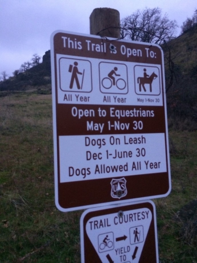
maps and turned up the first trail we saw. The trail looked well used by
the bikers and had lots of smaller trails leading off.
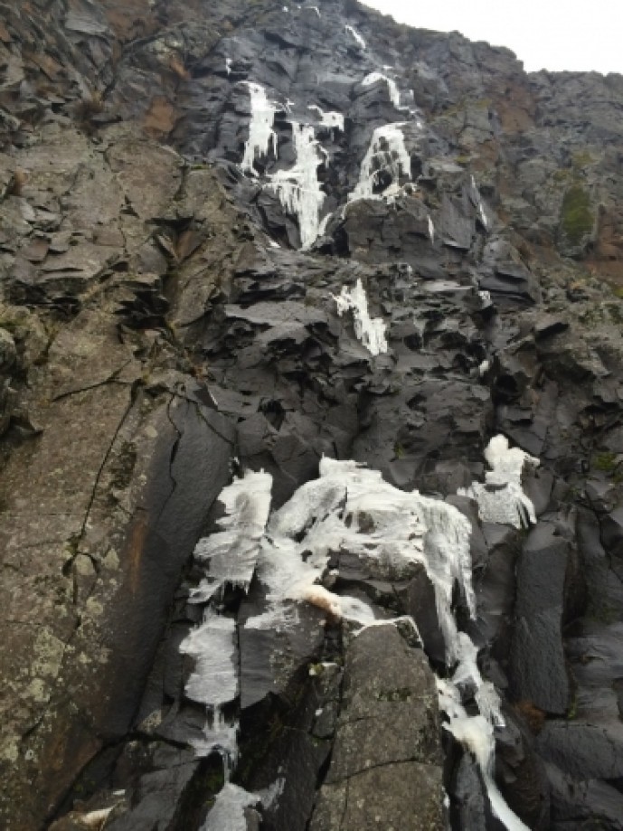
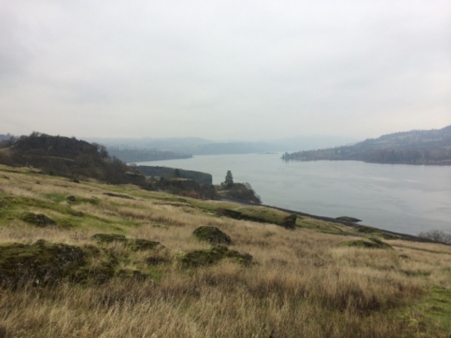
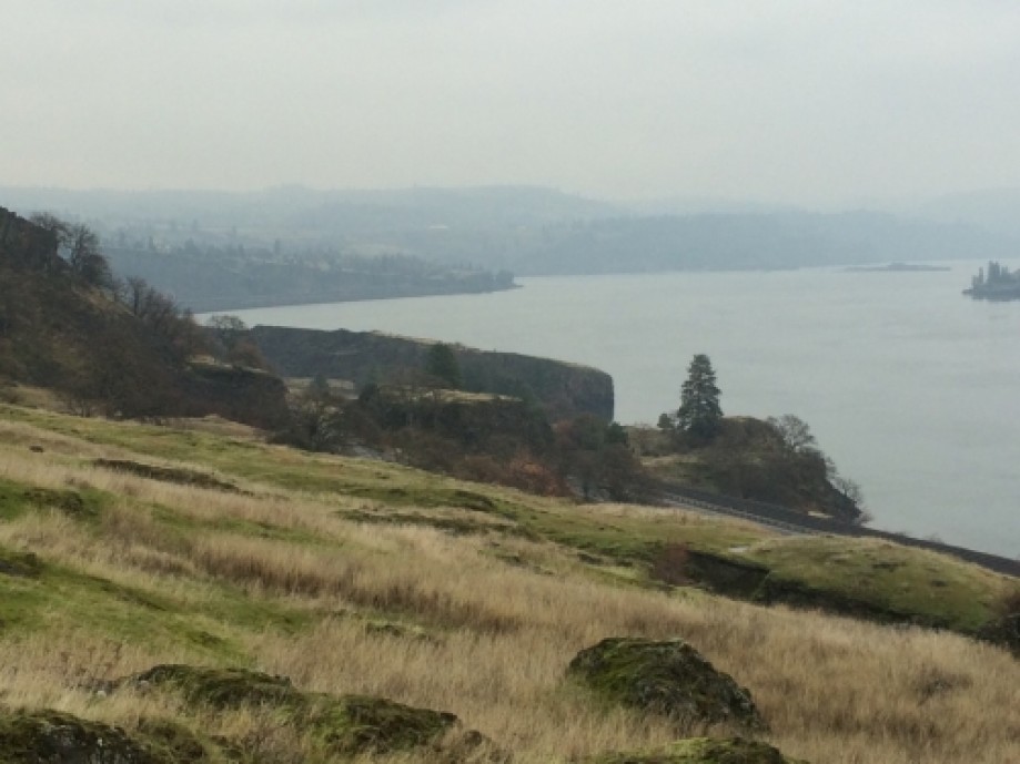
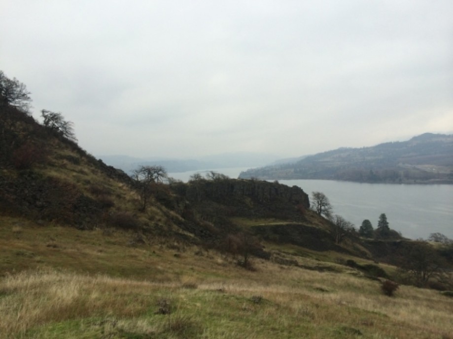
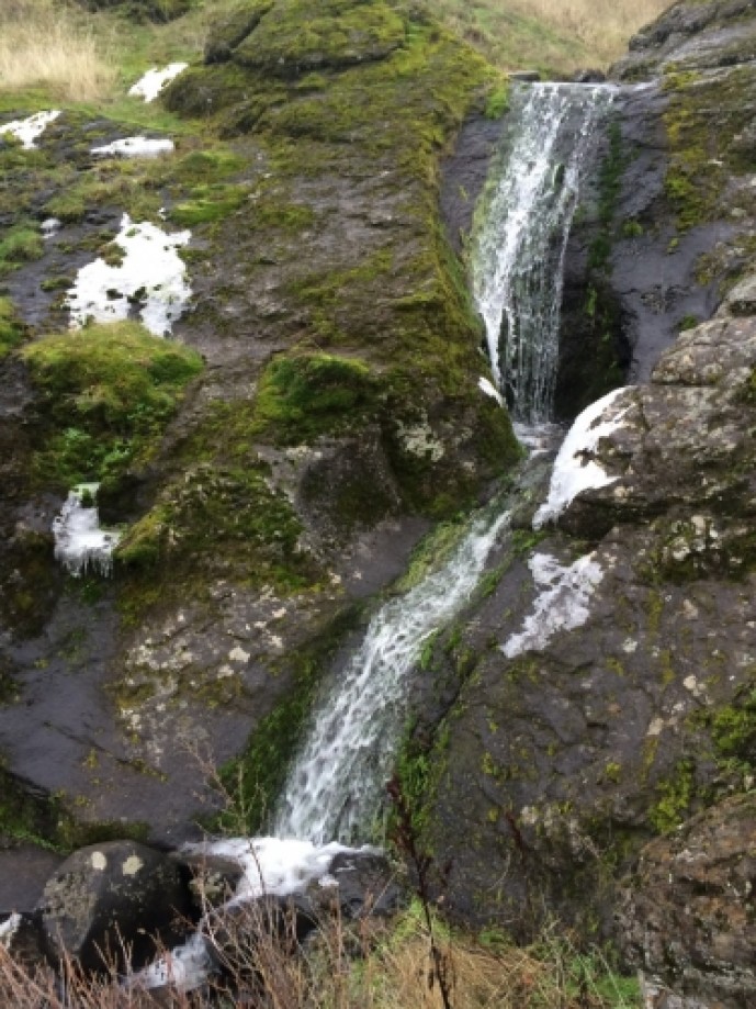
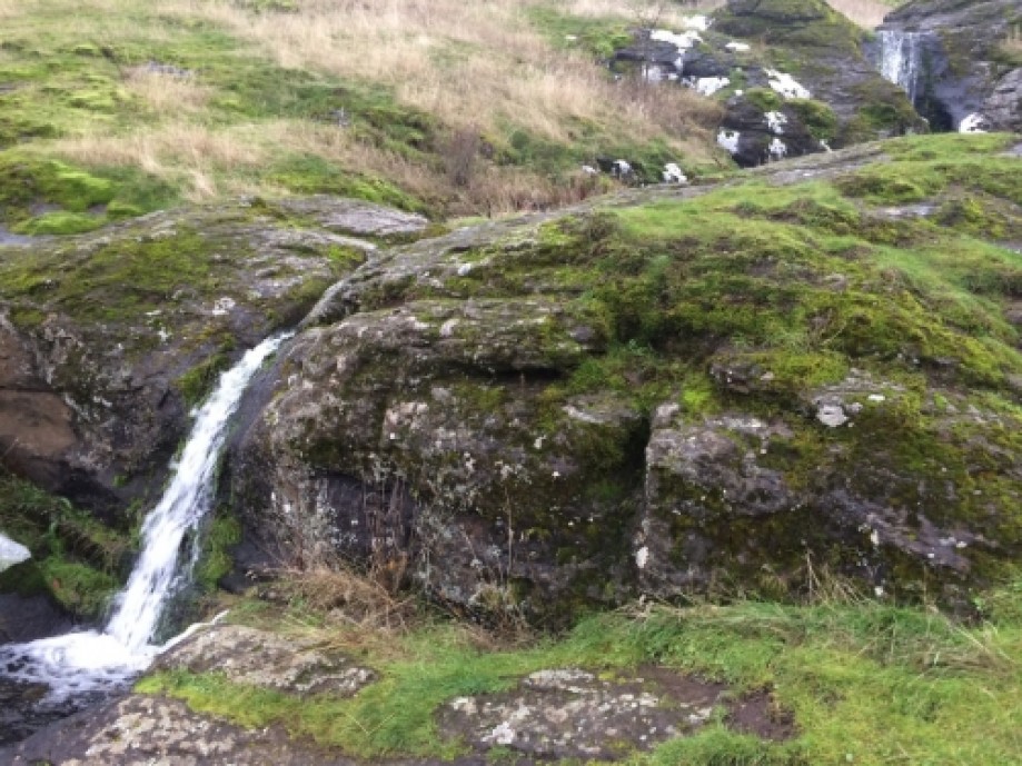
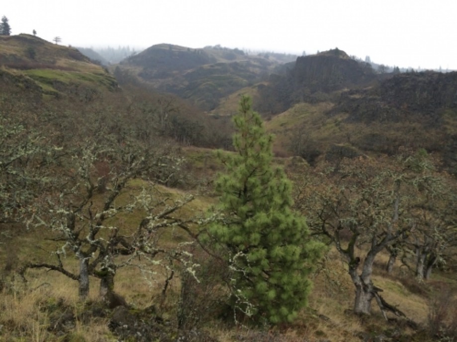
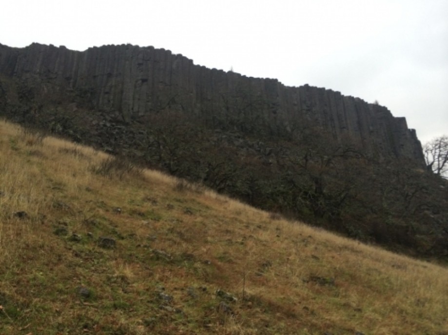
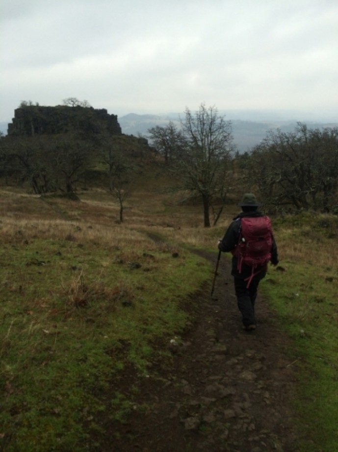
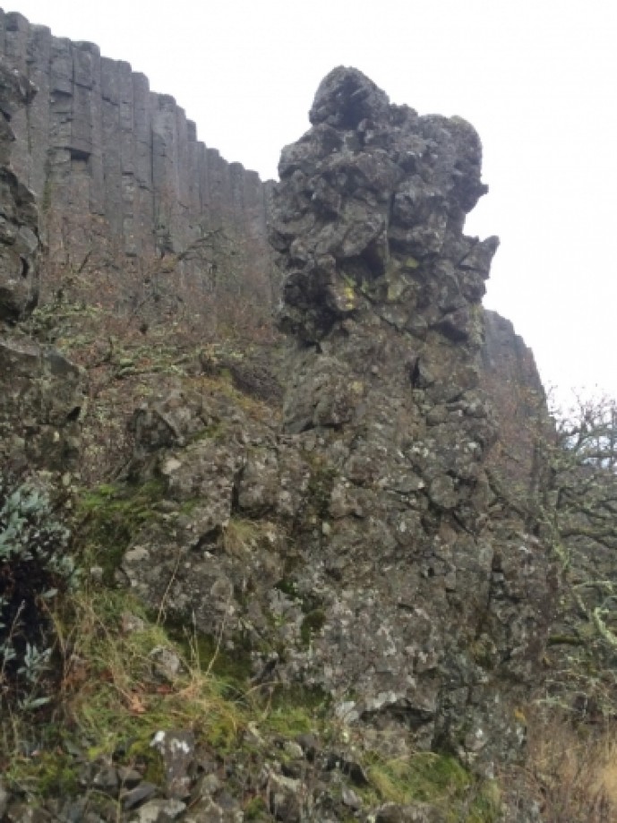
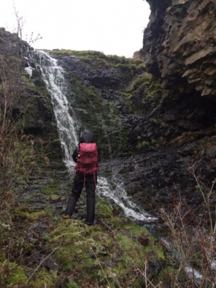
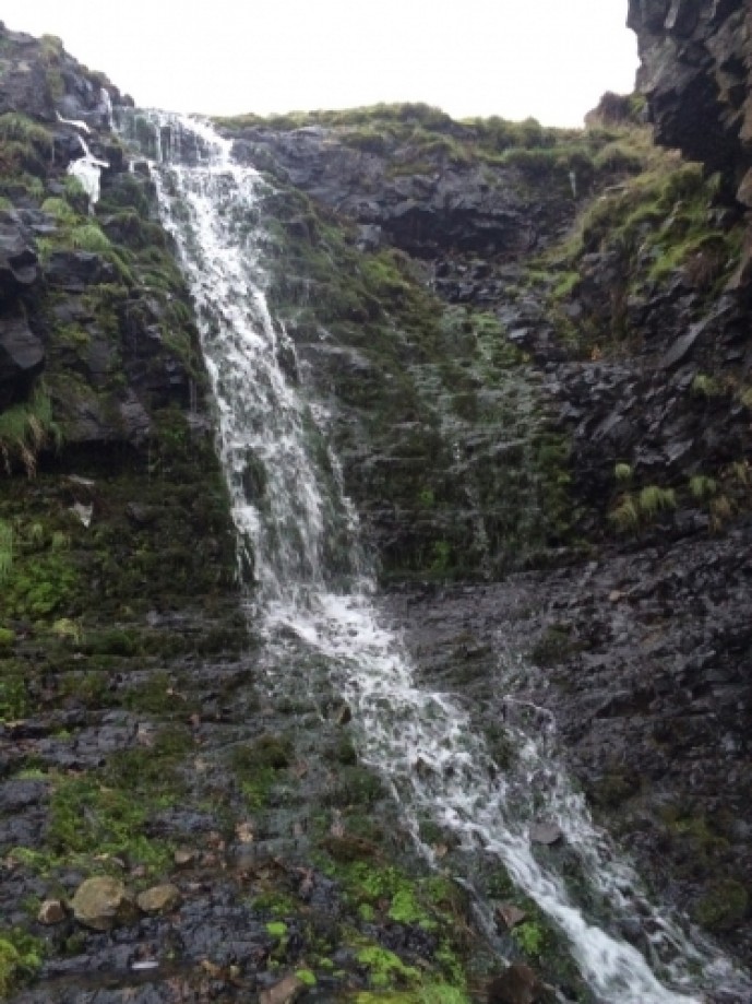
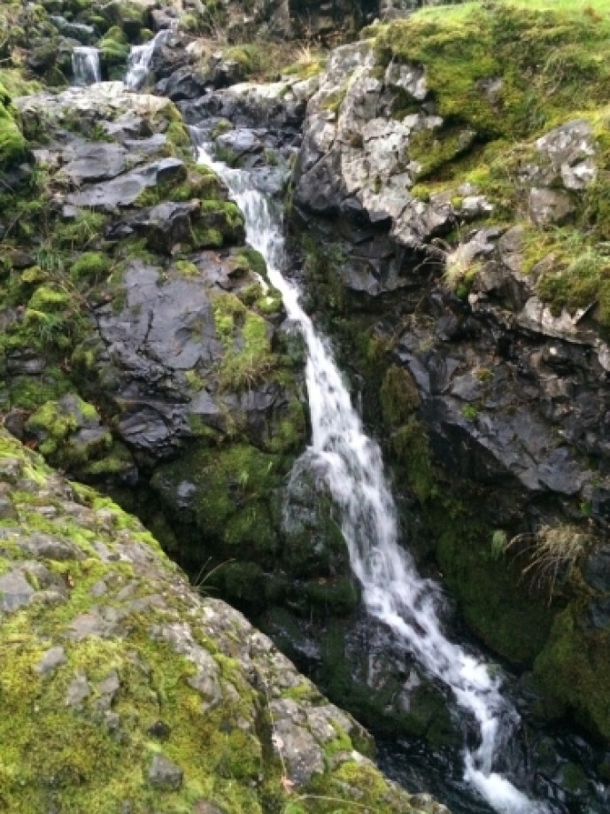
The landscape looked like what we were back hiking in Scotland (which we have done). Cliffs, rolling hills, and a few small waterfalls. We scrambled
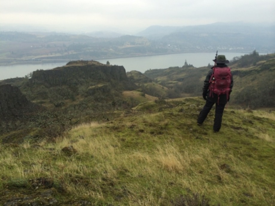
up one of the cliffs to take pictures and noticed a valley so headed
off-trail towards it. Small caves in the sides of the cliffs with lots of coyotes,
large cat prints and elk scat everywhere. Eagles flying over head
fighting for territory. They got surprisingly close to us as they chased each other at high speeds.
We sat in this valley for lunch. Not really much of a run down.
