Mt. Tallac Climb
Map Explore
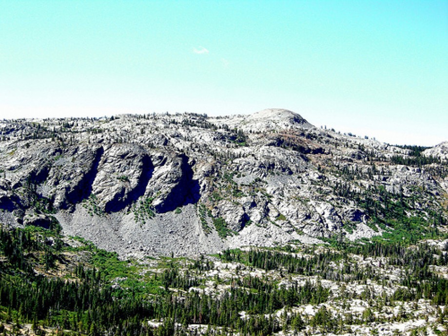
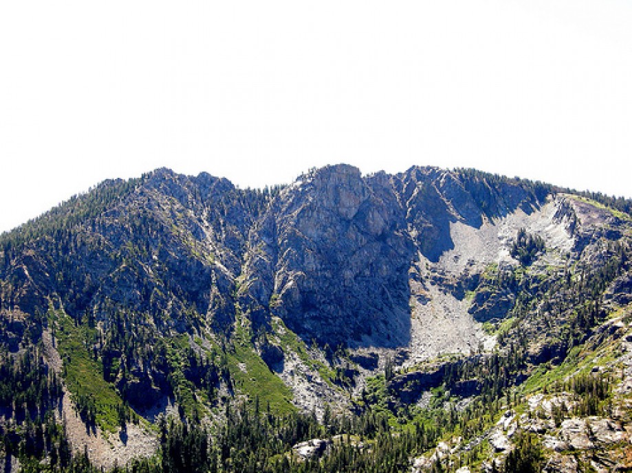
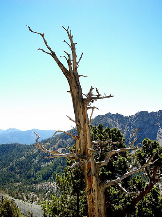
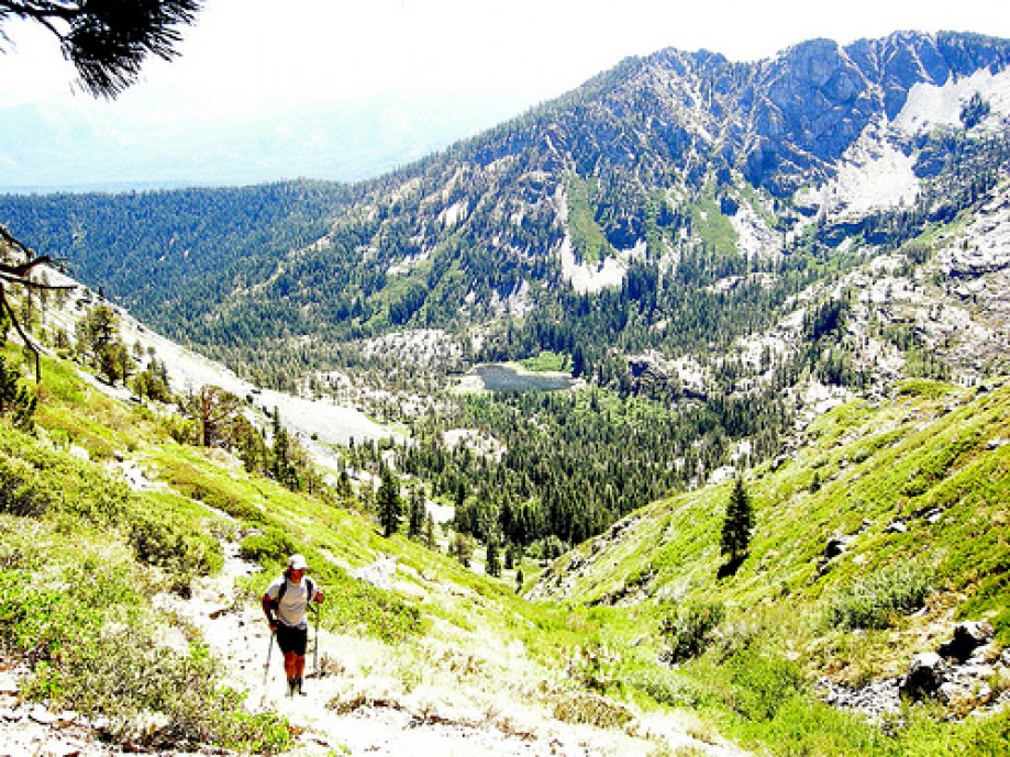
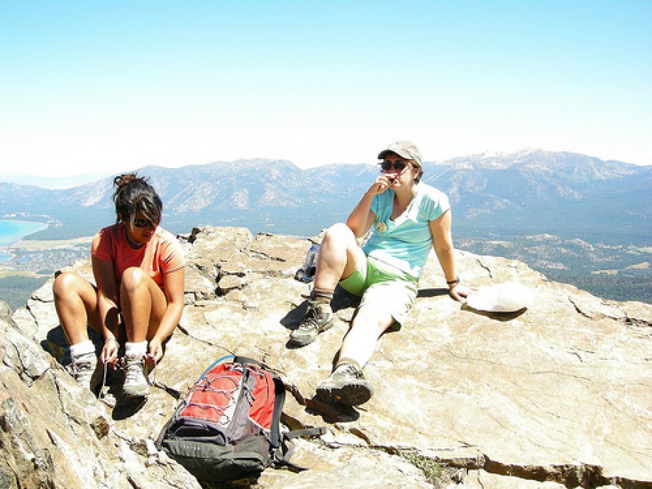
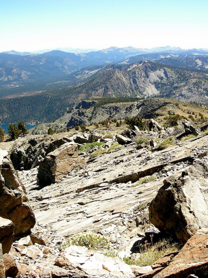
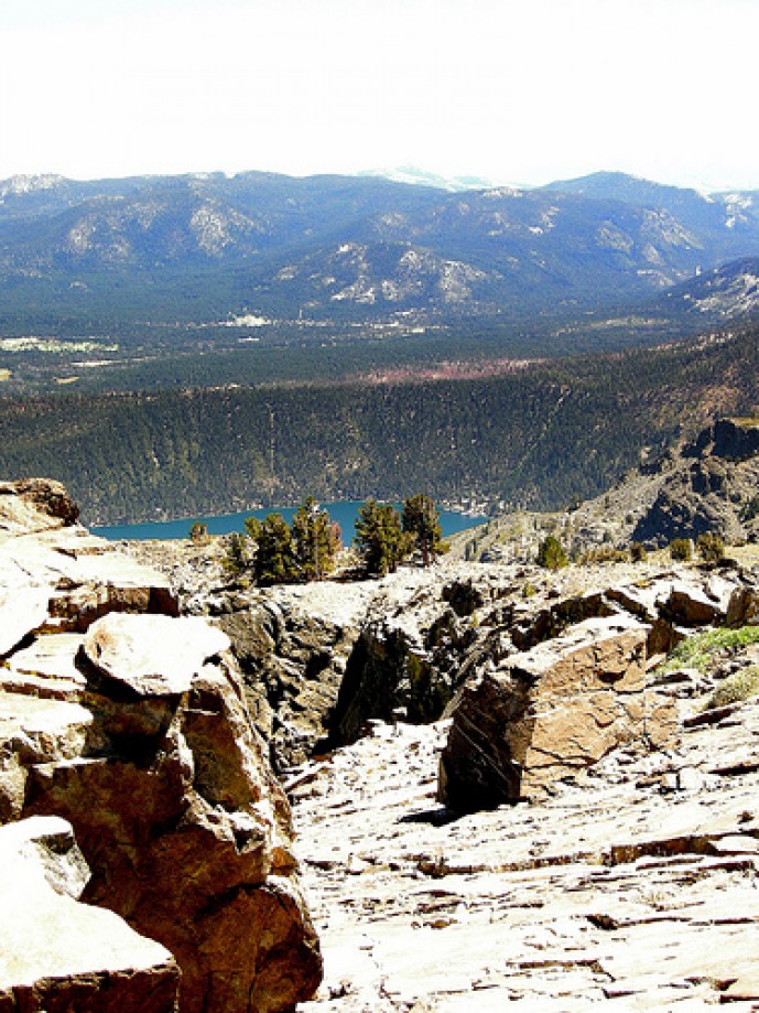
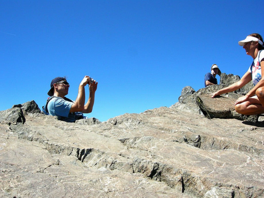
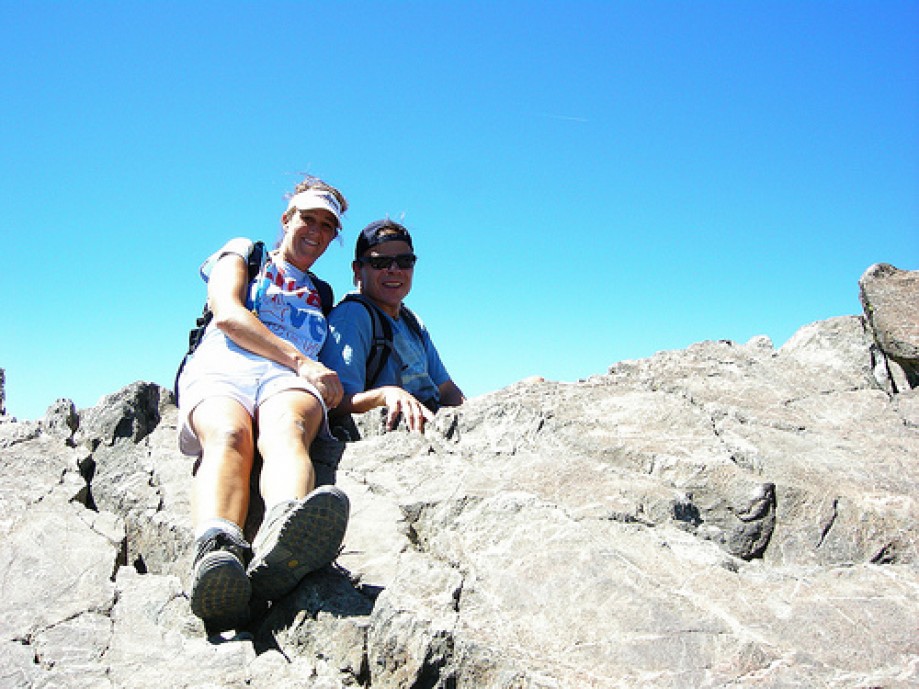
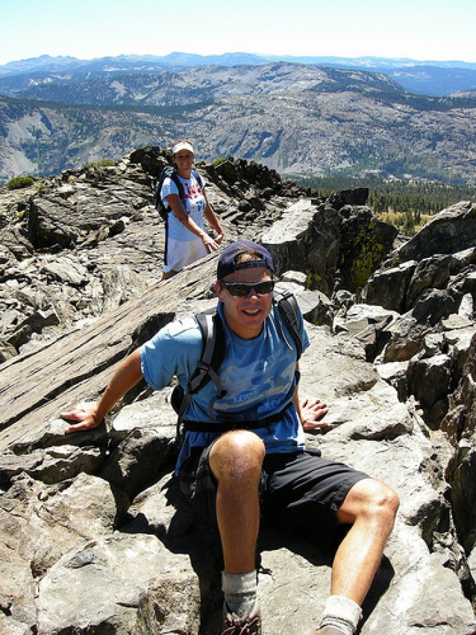
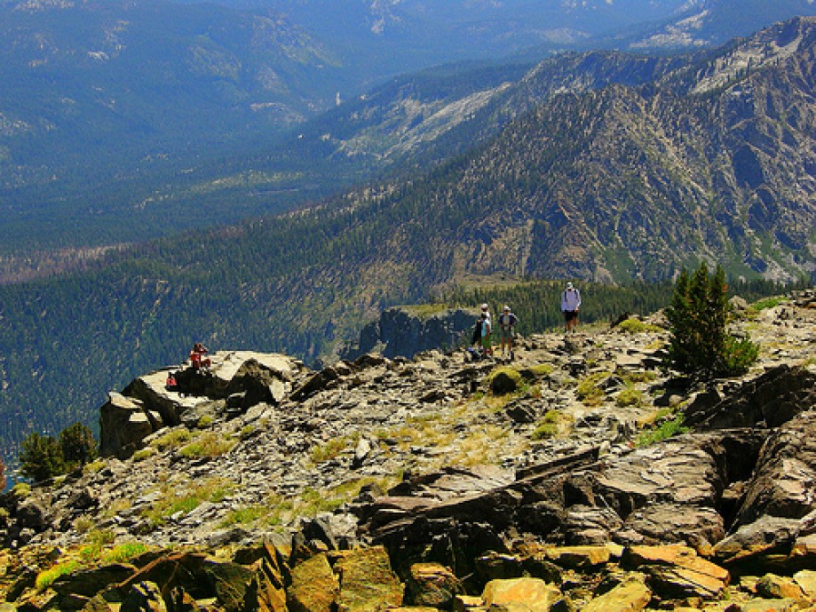
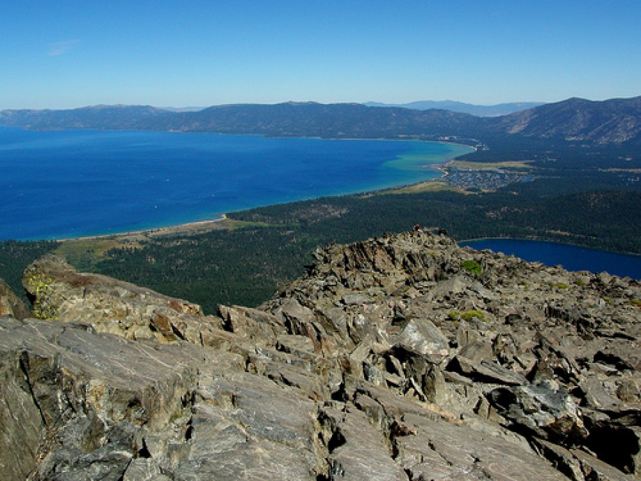
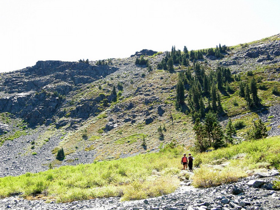
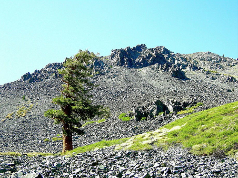
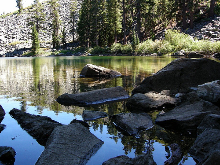
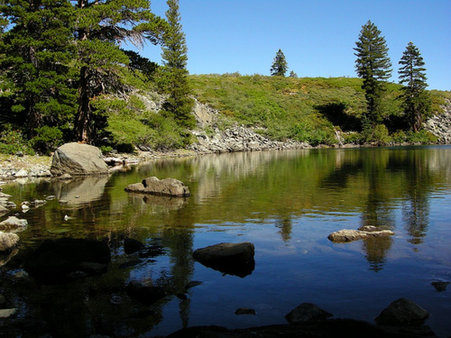
Photos
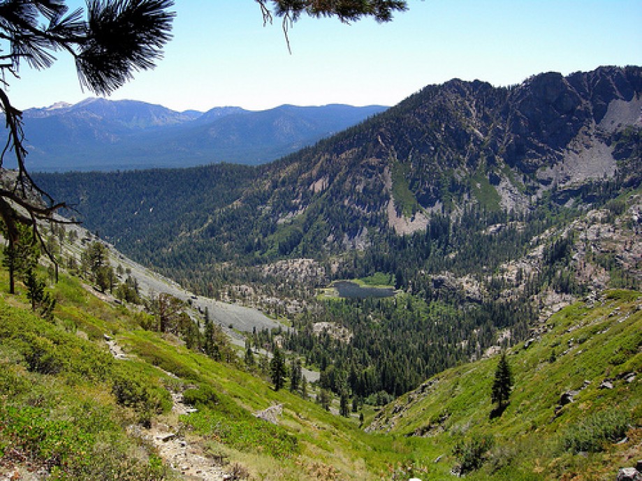
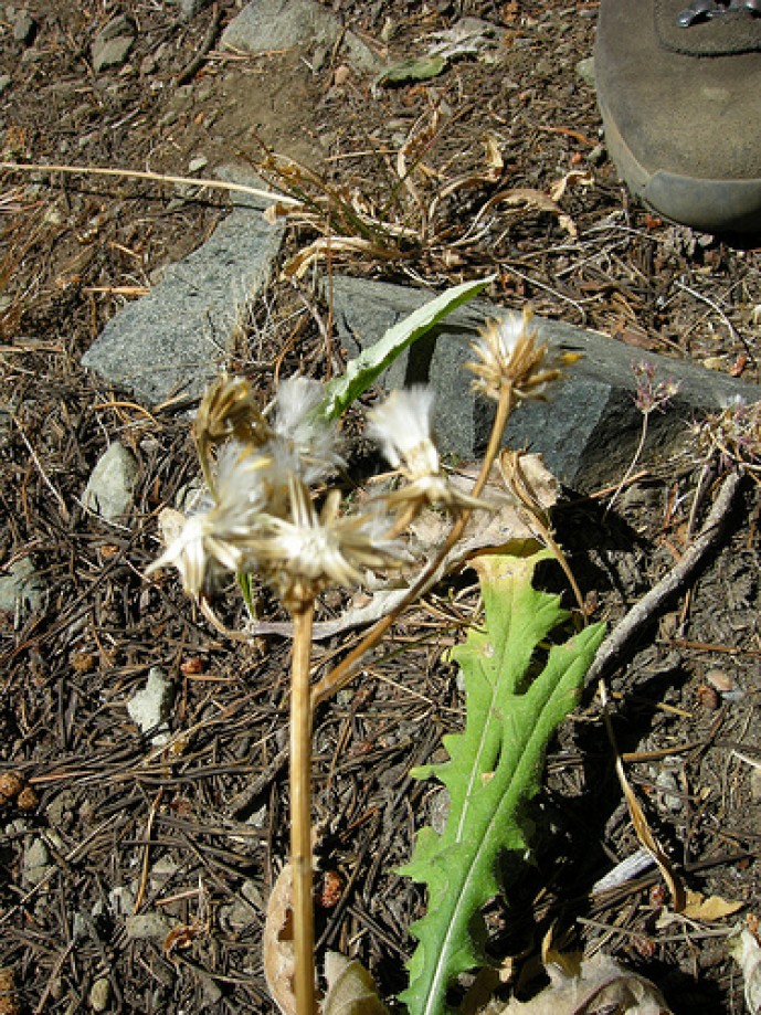
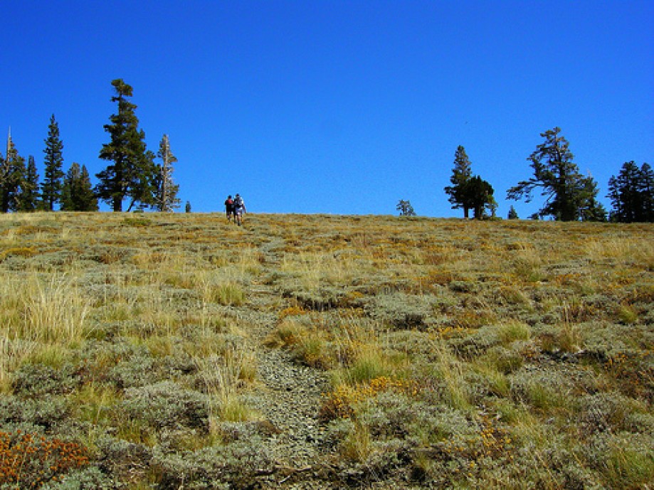
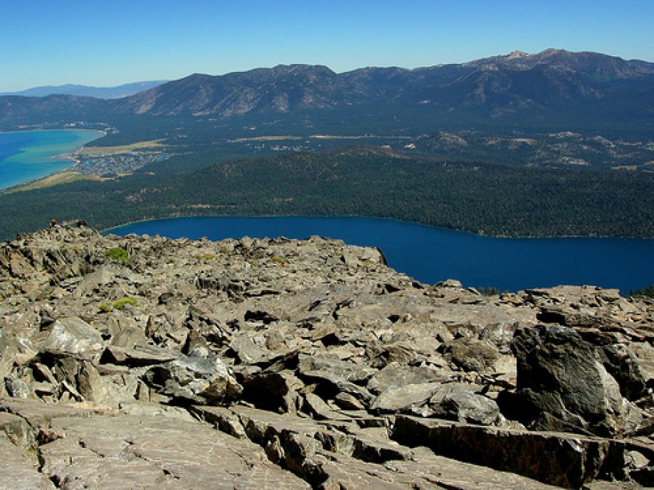
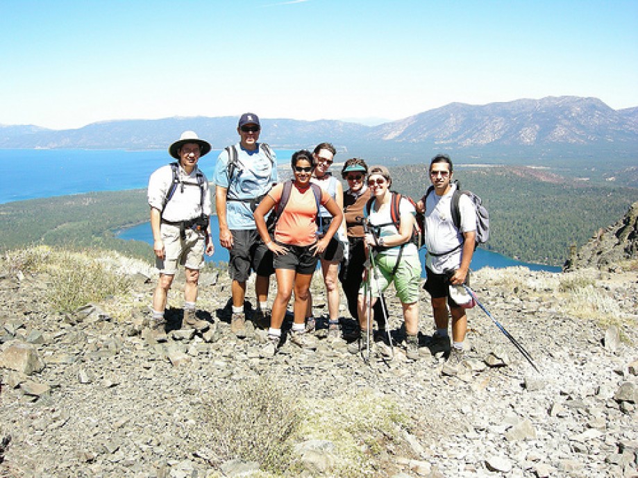
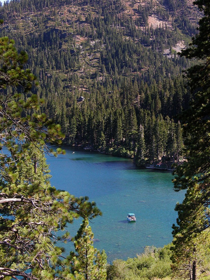
DSCN6153
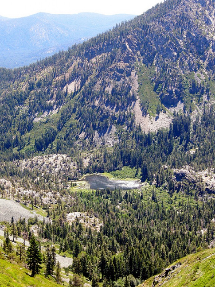
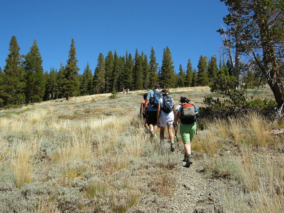
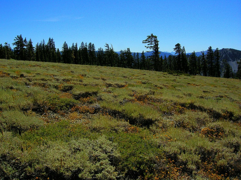
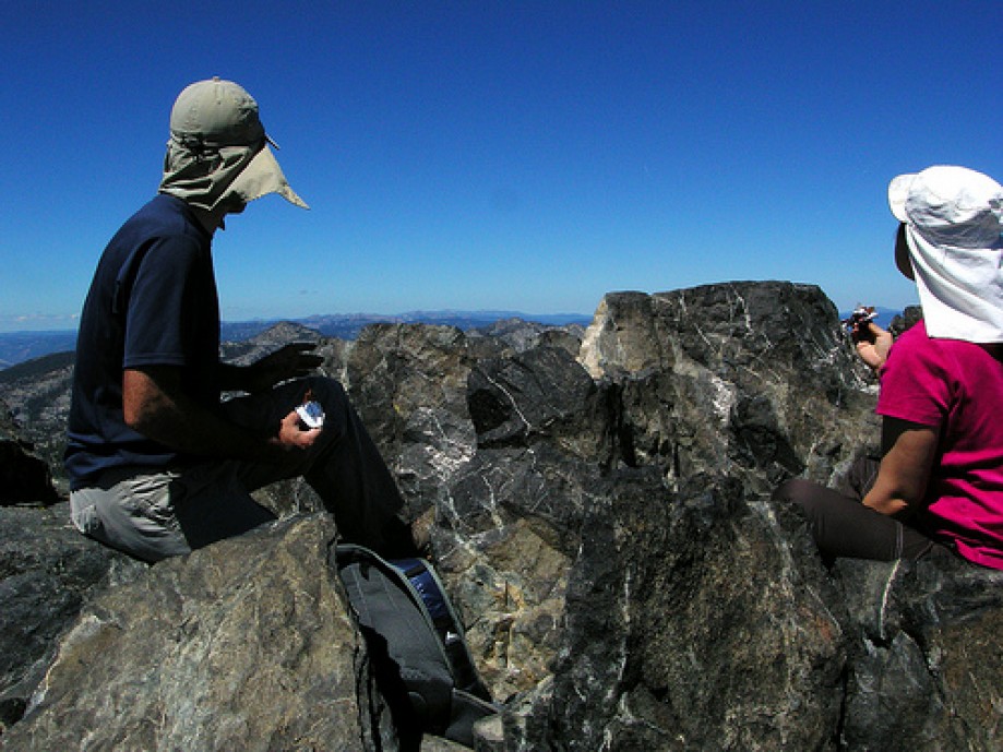
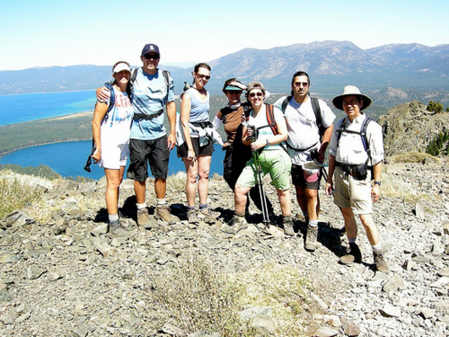
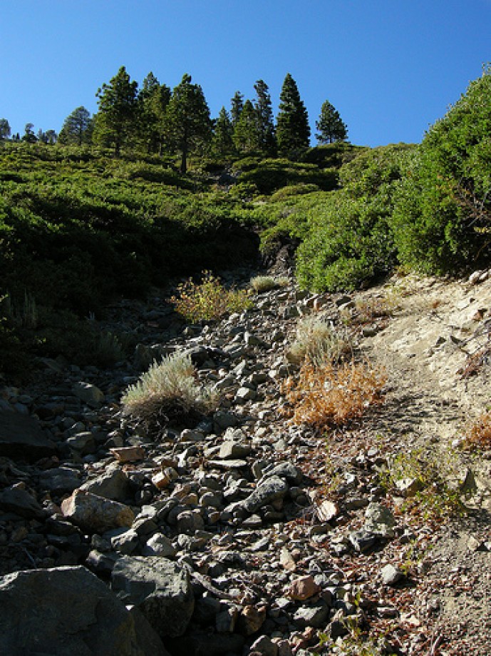
DSCN6156
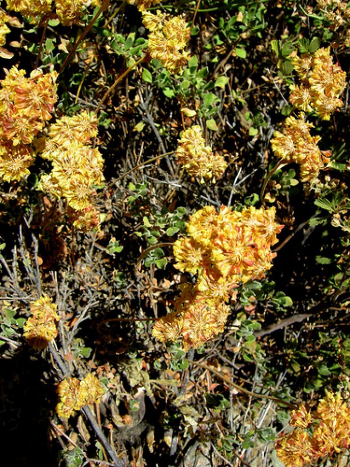
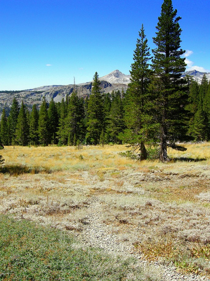
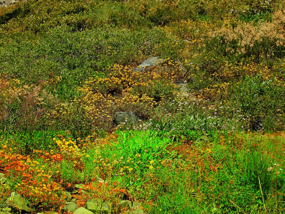
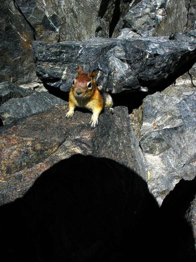
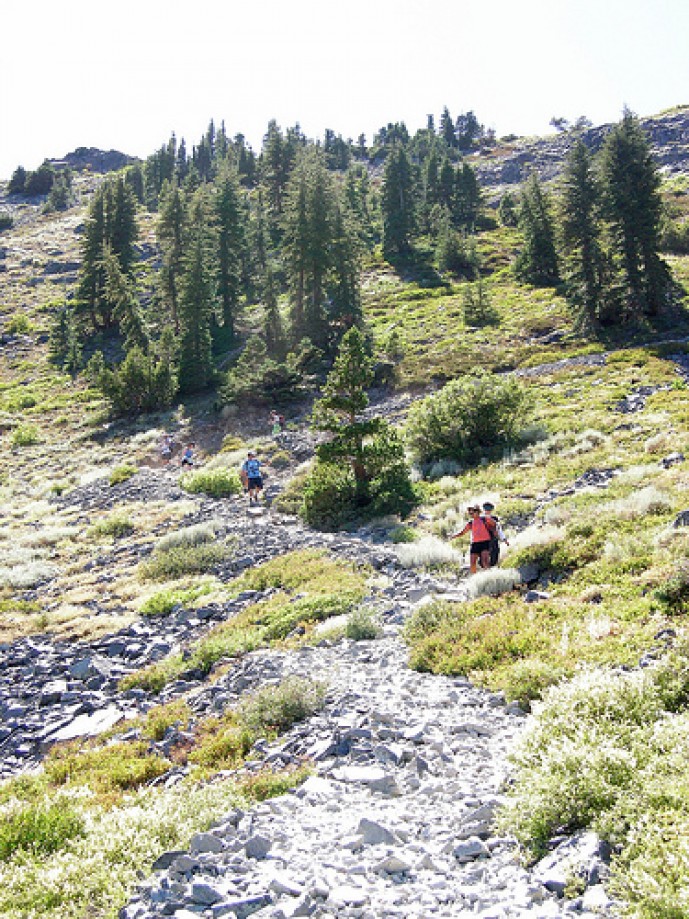
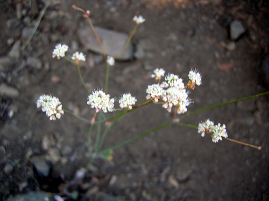
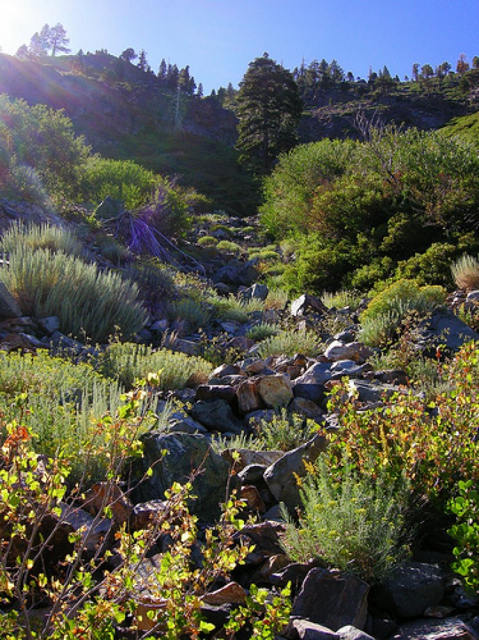
DSCN6162
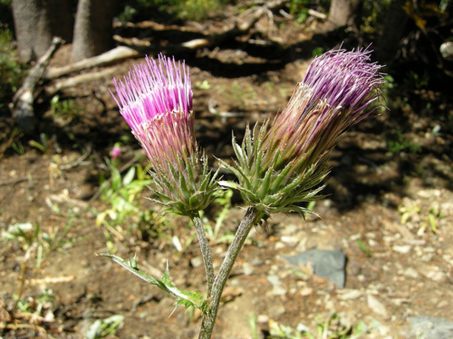
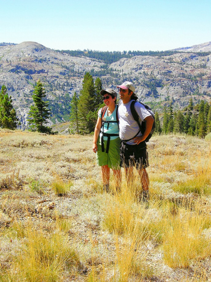
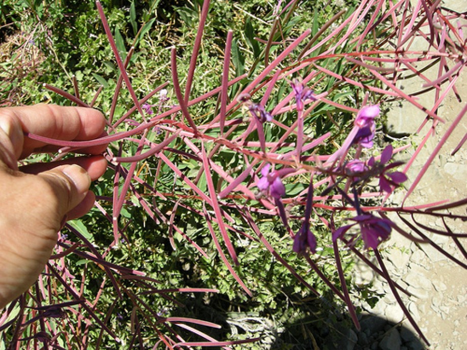
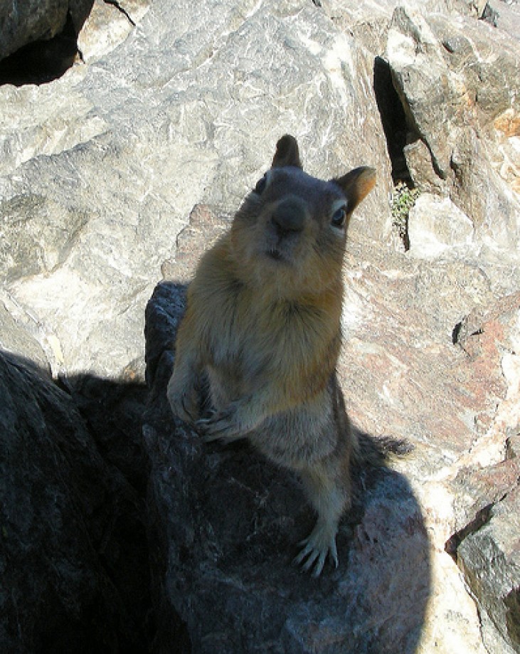
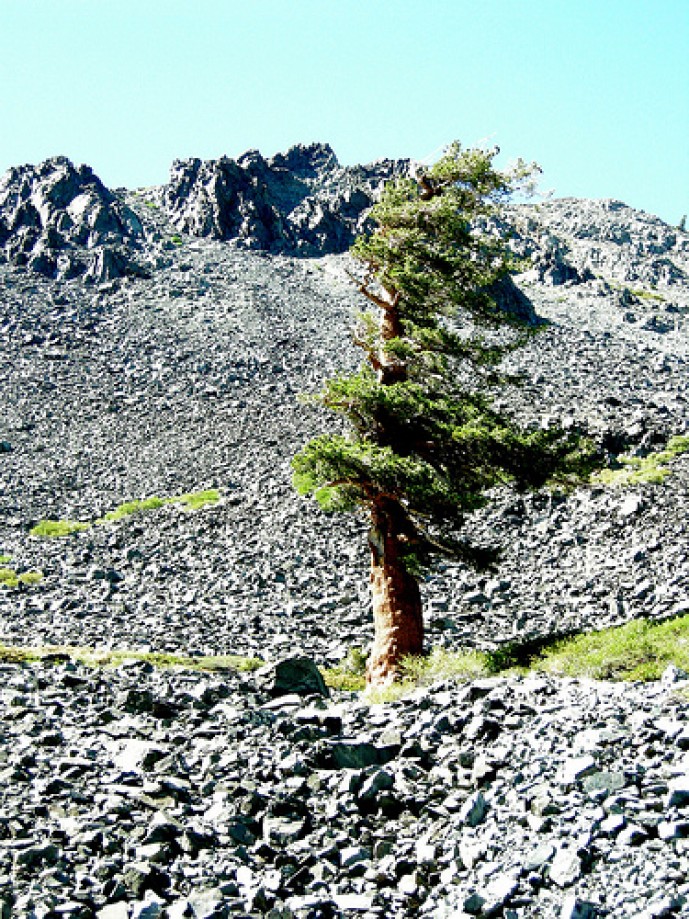
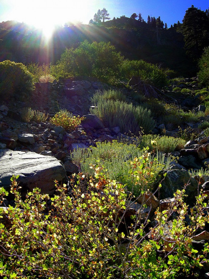
DSCN6165
DSCN6174
DSCN6177
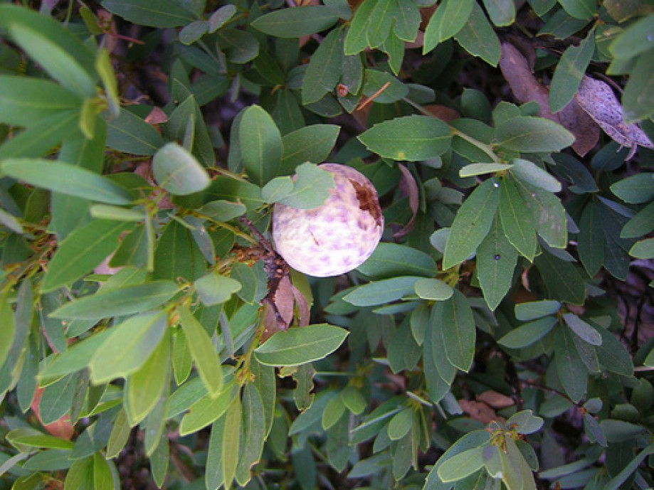
DSCN6180
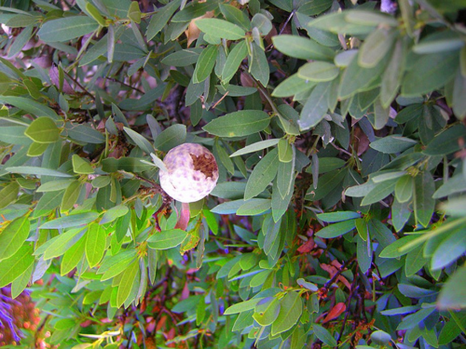
DSCN6189
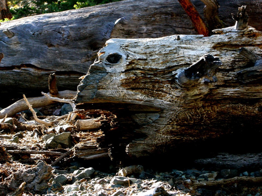
DSCN6190
DSCN6196
DSCN6199
DSCN6202
DSCN6205
DSCN6206
DSCN6213
DSCN6219
DSCN6230
DSCN6239
DSCN6251
DSCN6258
DSCN6416
DSCN6422
DSCN6413
DSCN6272
DSCN6273
DSCN6278
DSCN6281
DSCN6287
DSCN6410
DSCN6296-1
DSCN6297
DSCN6298
DSCN6306
DSCN6315
DSCN6318
DSCN6321
DSCN6384
DSCN6389
DSCN6392
DSCN6322
DSCN6326
DSCN6334
DSCN6339
DSCN6348
DSCN6351
DSCN6360
DSCN6366
DSCN6370
DSCN6374
DSCN6375
DSCN6378
DSCN6381
DSCN6288
DSCN6293
DSCN6263
DSCN6266
DSCN6428
DSCN6431
DSCN6437
DSCN6446
DSCN6449
DSCN6452
DSCN6458
DSCN6464
DSCN6466
DSCN6469
DSCN6470
DSCN6482
DSCN6485
DSCN6491
DSCN6494
DSCN6497
DSCN6501
DSCN6510
Chart (Mouse wheel zooms in)
Story
GPS logger retained the initial position from Angora Ridge where I was the day before. Hike started from shortcut behind Stanford Sierra Camp and we did not fly from Angora Ridge to the mid-Tallac trail.
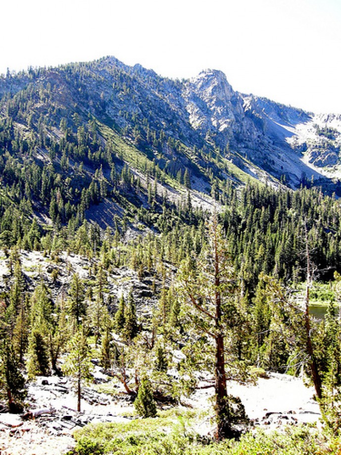
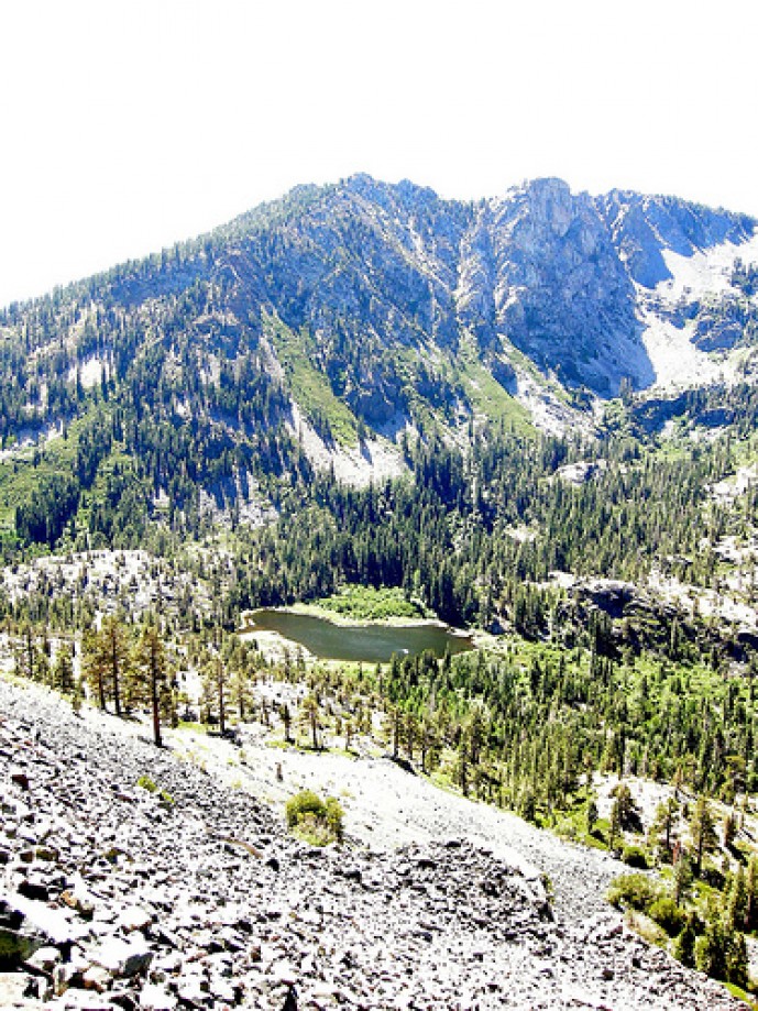
If you hold a Nikon P5000 with one hand, it\'s possible for the palm of your right hand to accidentally depress the exposure compensation button and then add +2 stops to the exposure. That\'s what happened on this trip.
If you hold a Nikon P5000 with one hand, it\'s possible for the palm of your right hand to accidentally depress the exposure compensation button and then add +2 stops to the exposure. That\'s what happened on this trip.