The Compact Derwent Watershed
Map Explore
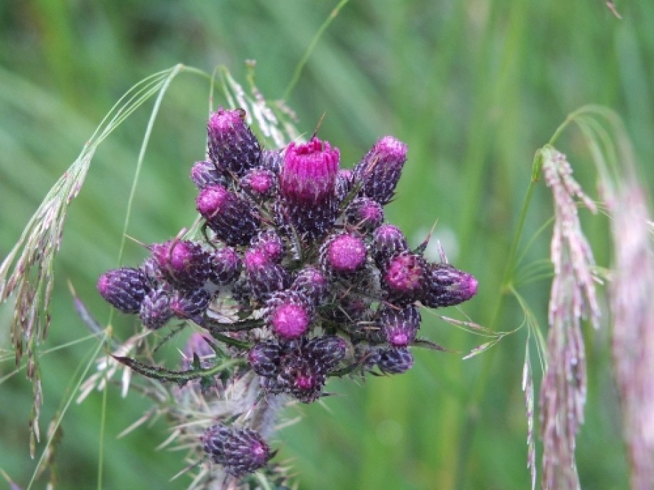
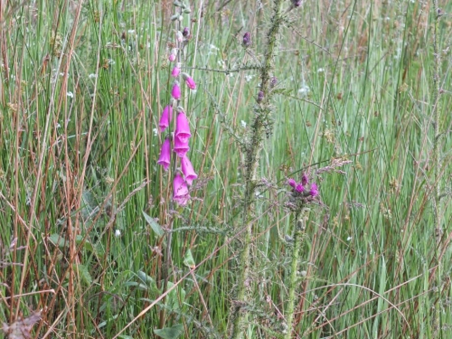
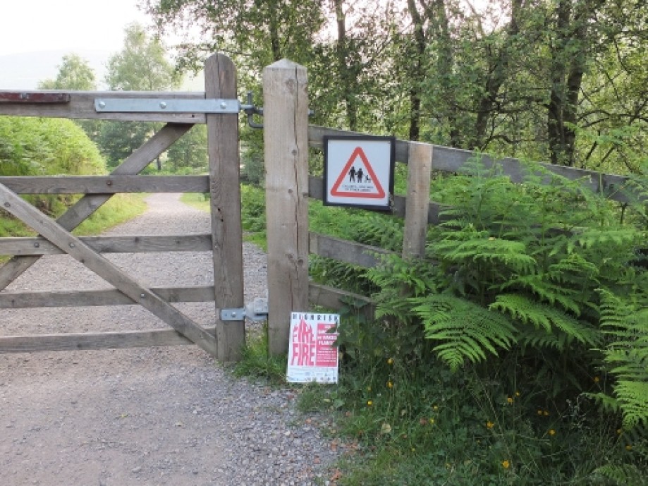
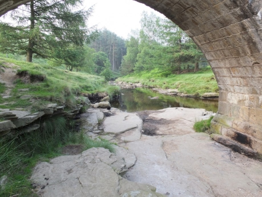
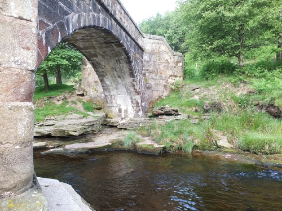
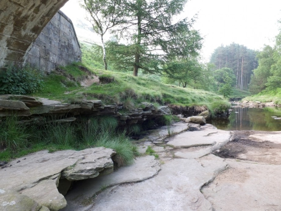
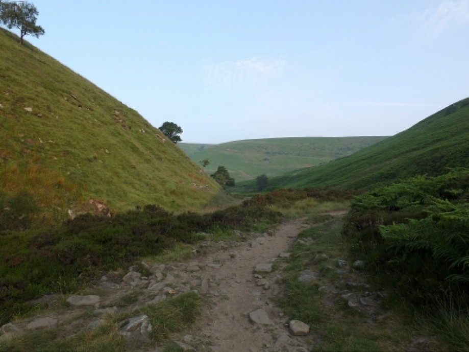
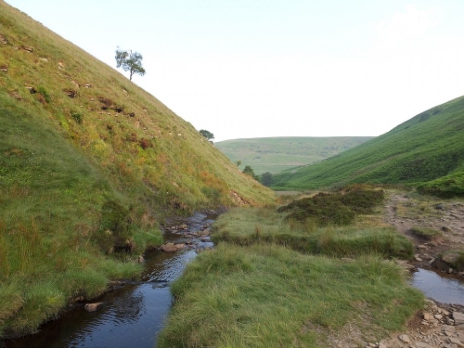
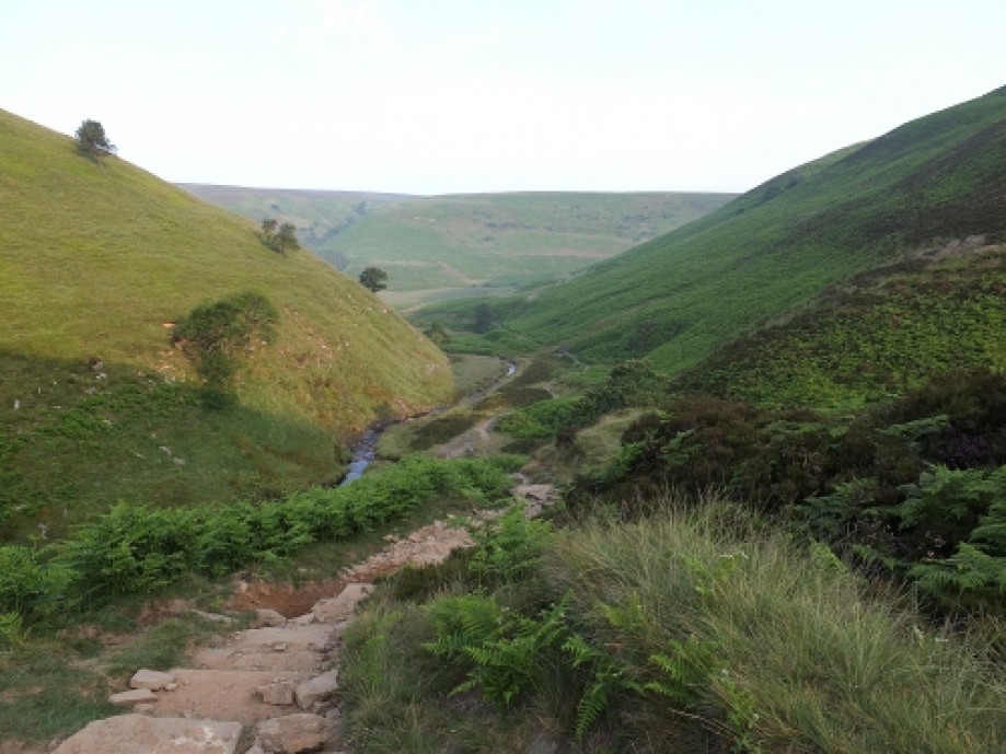
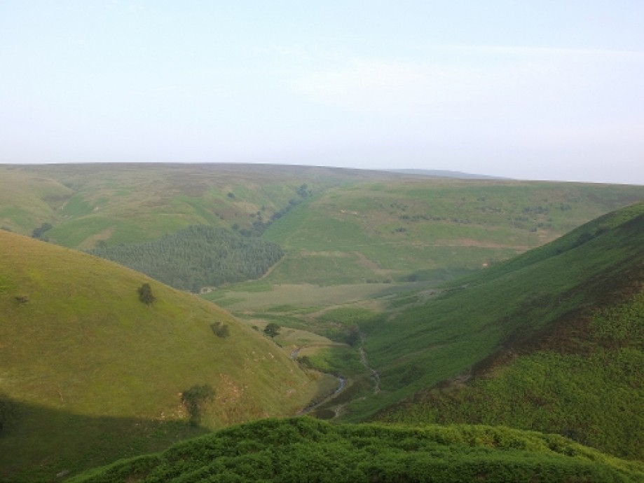
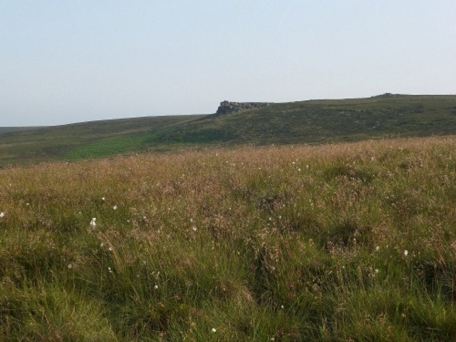
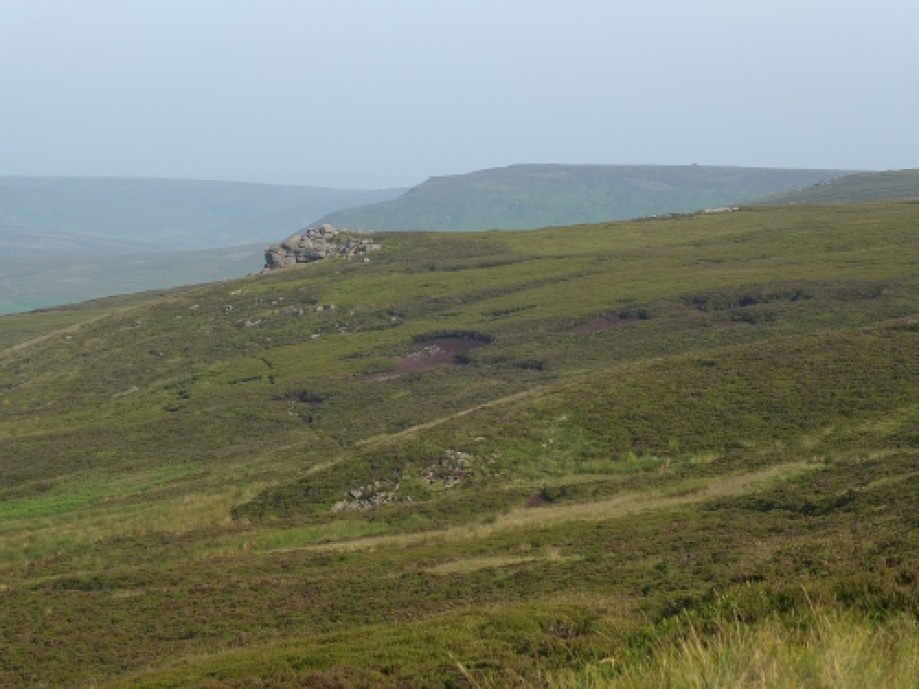
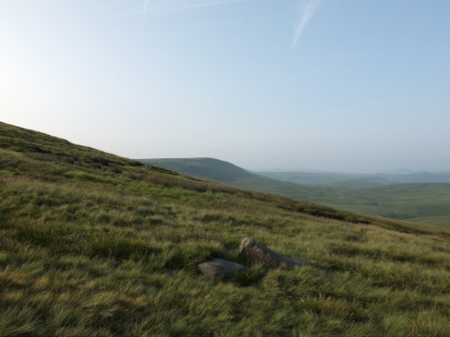
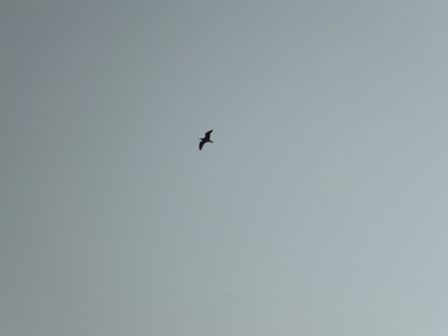
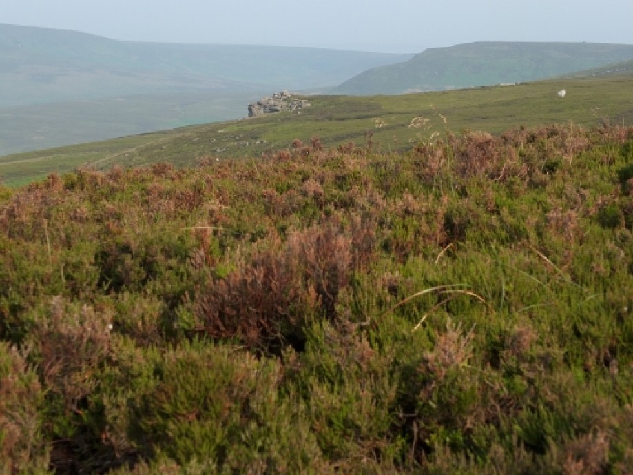
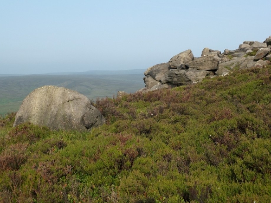
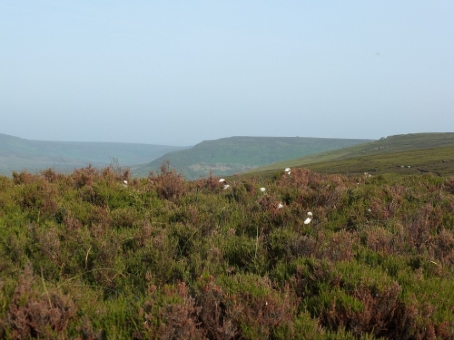
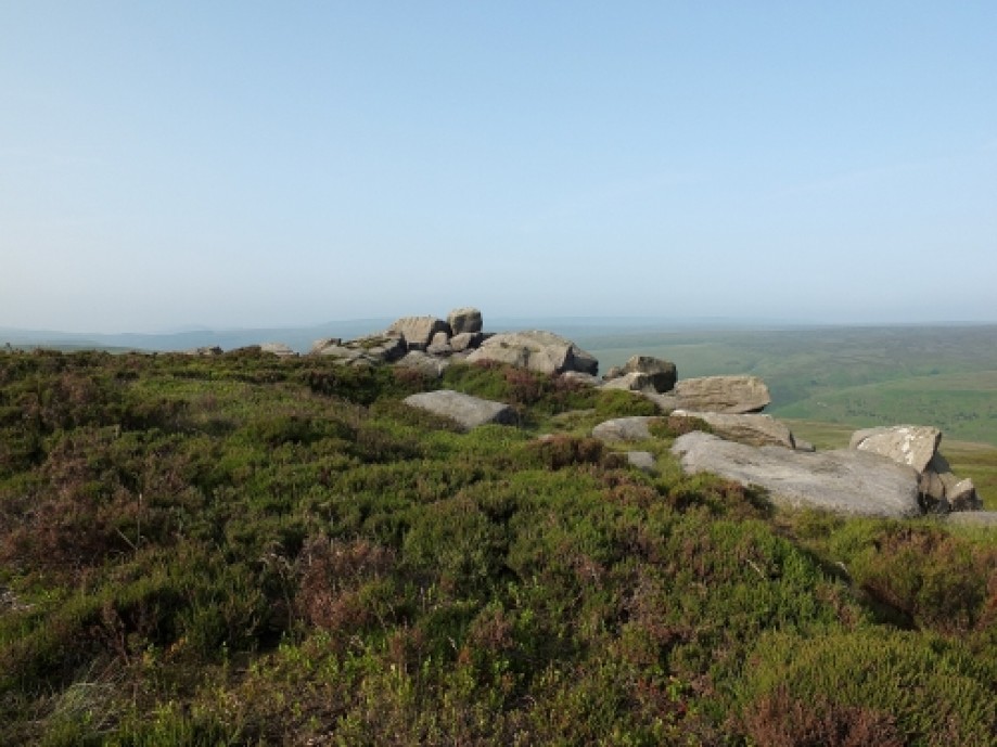
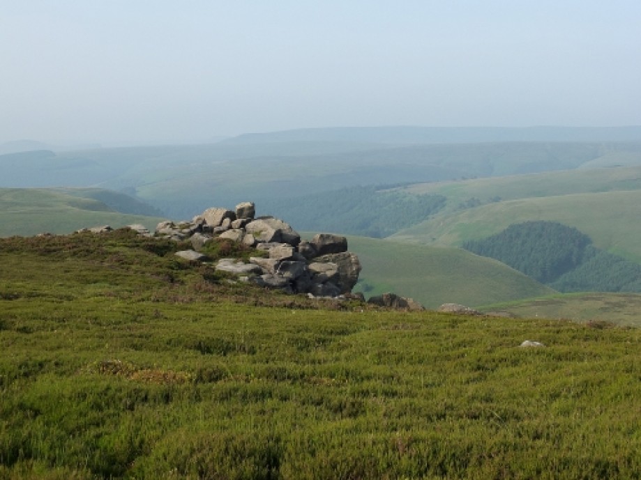
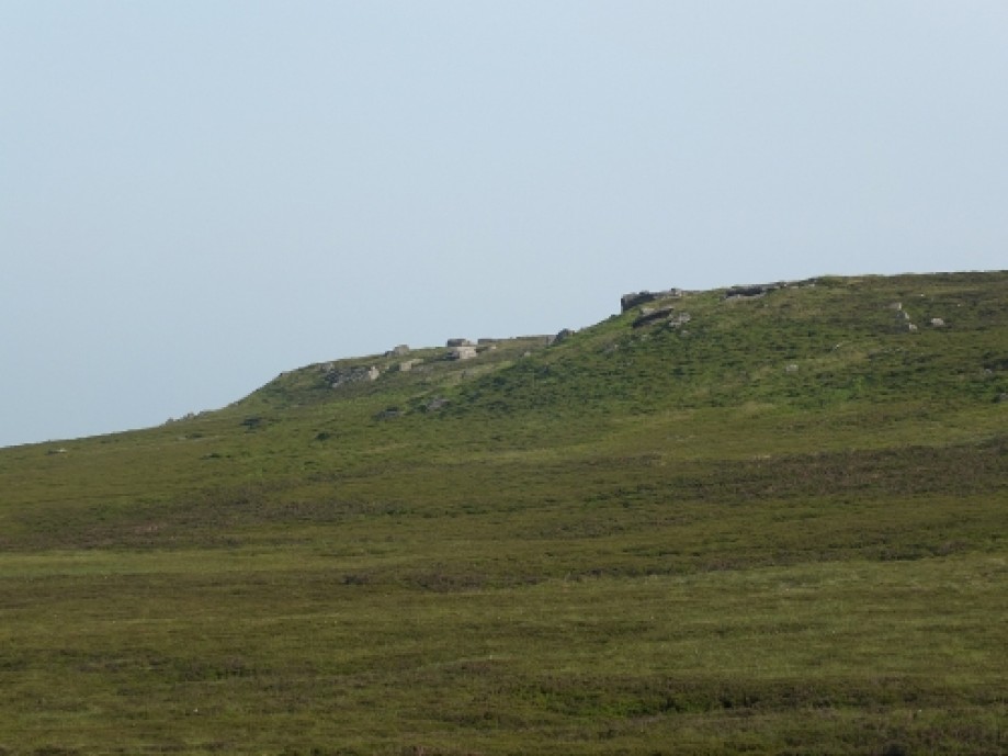
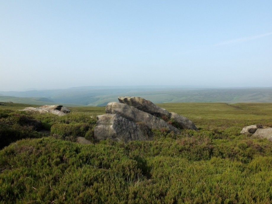
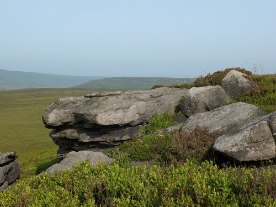
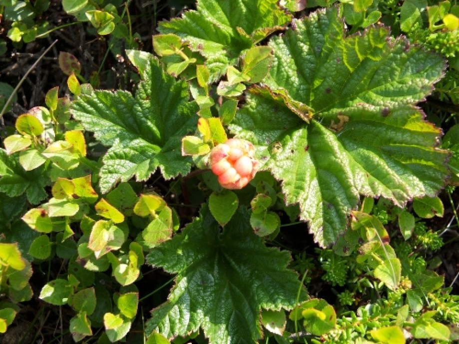
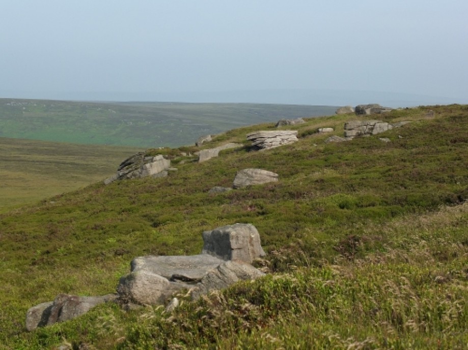
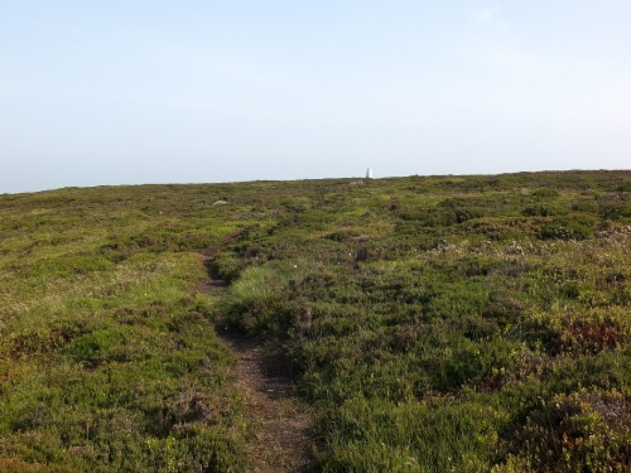
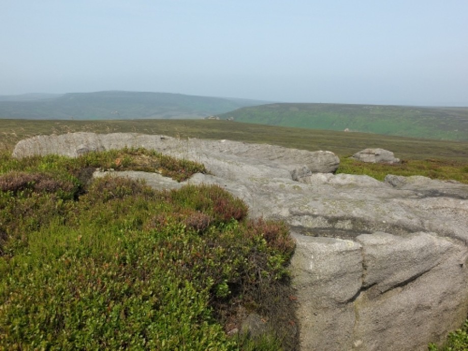
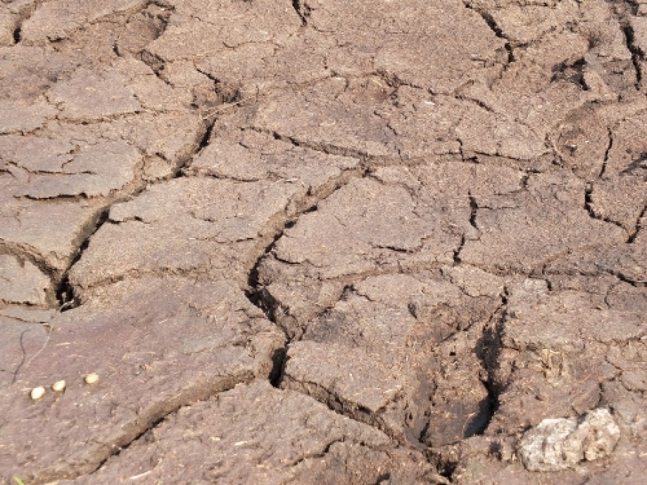
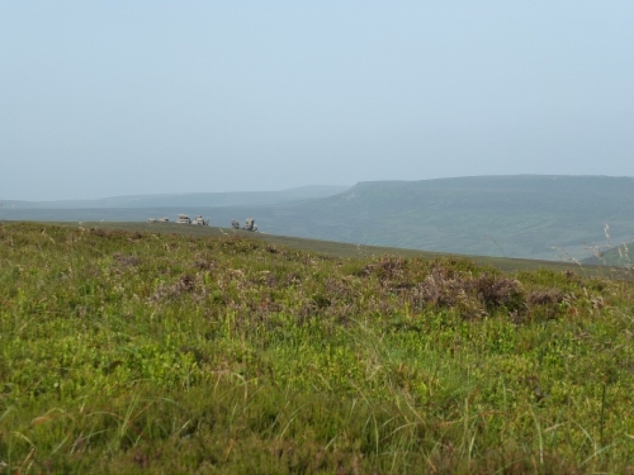
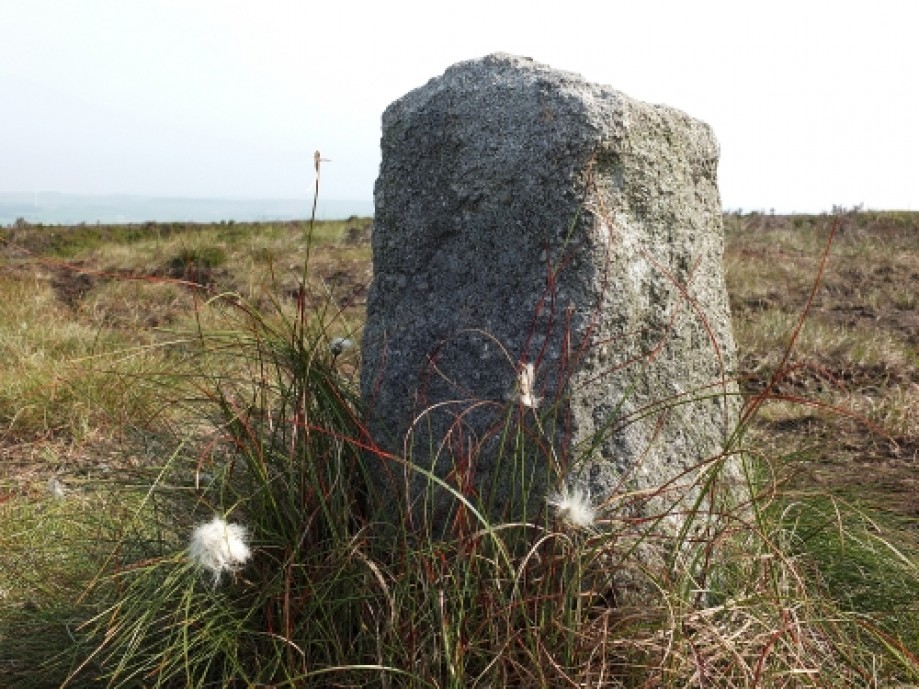
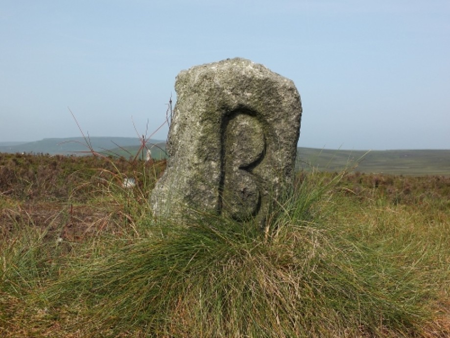
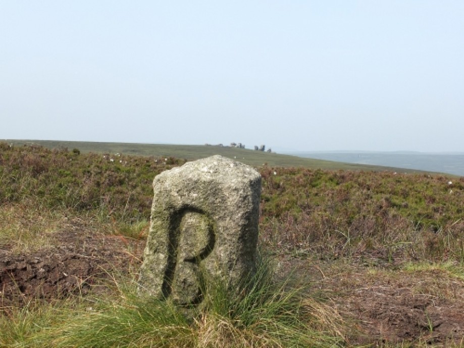
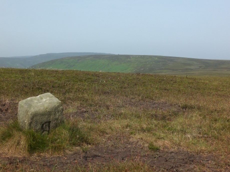
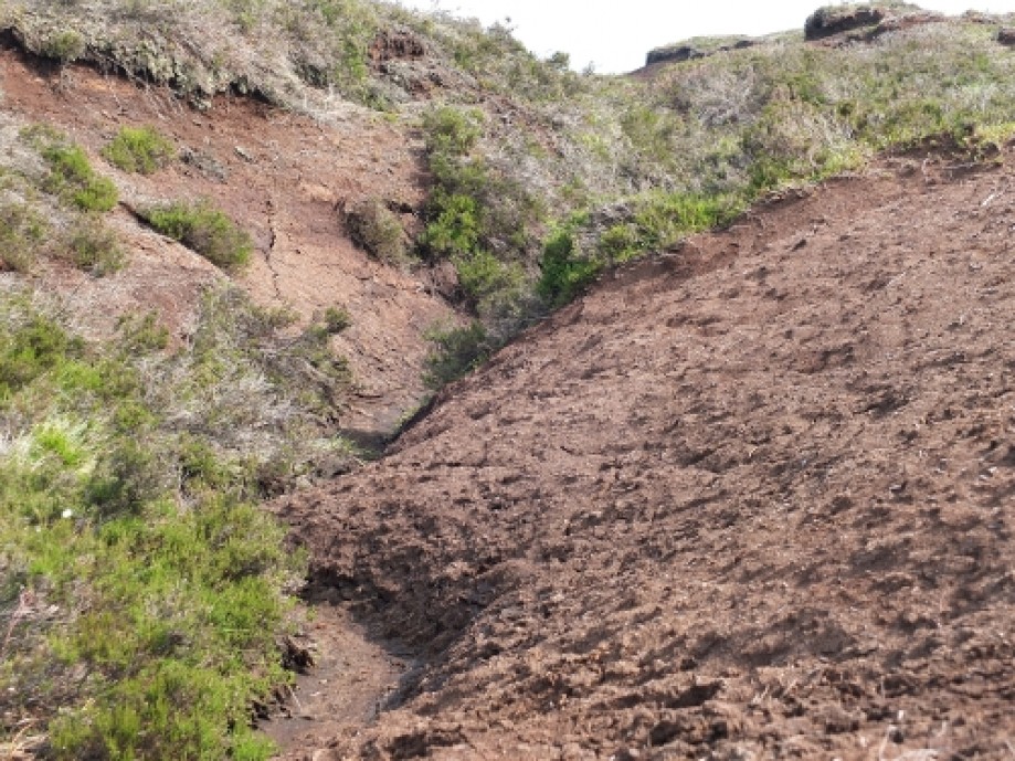
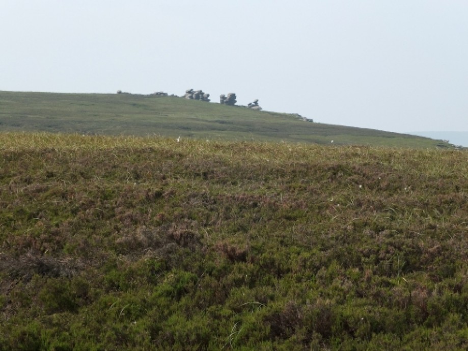
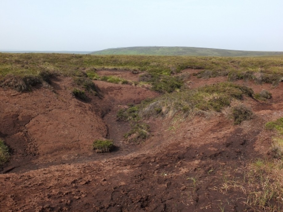
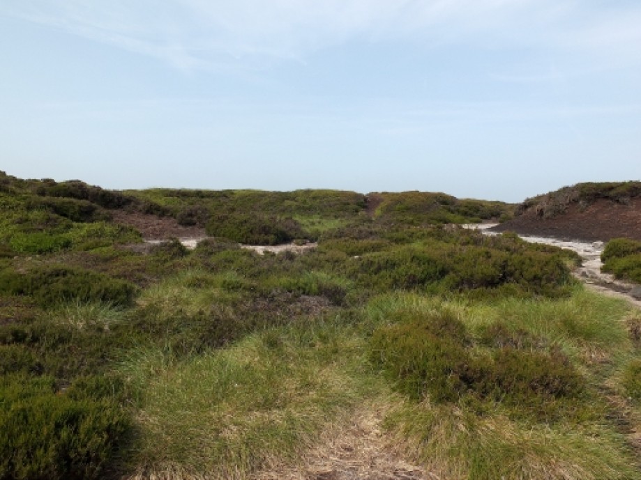
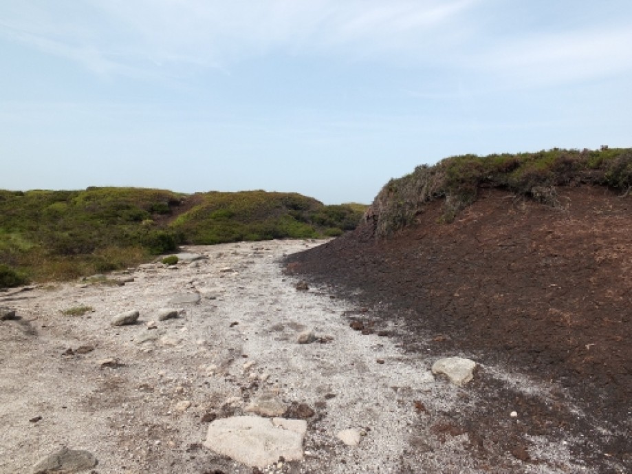
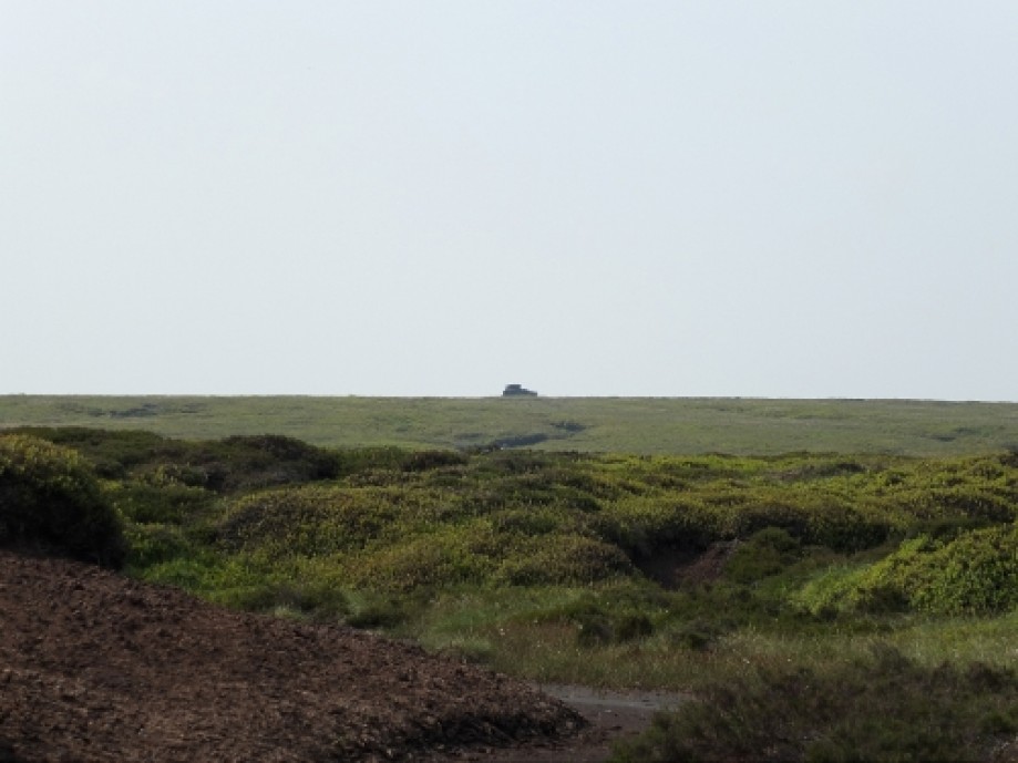
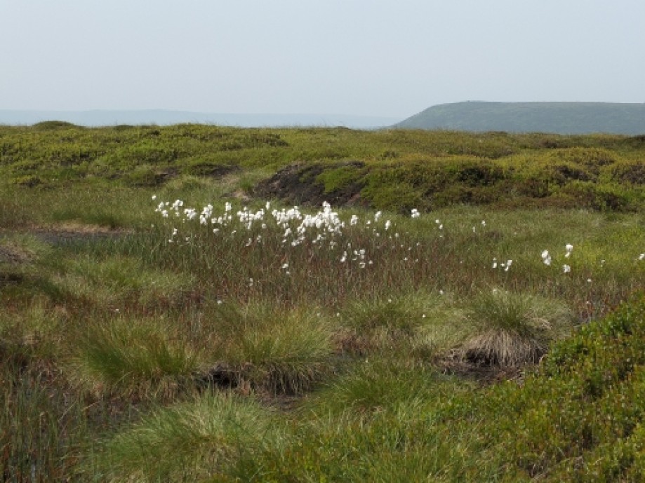
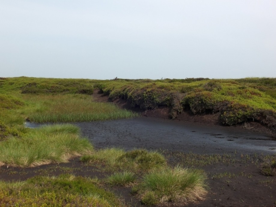
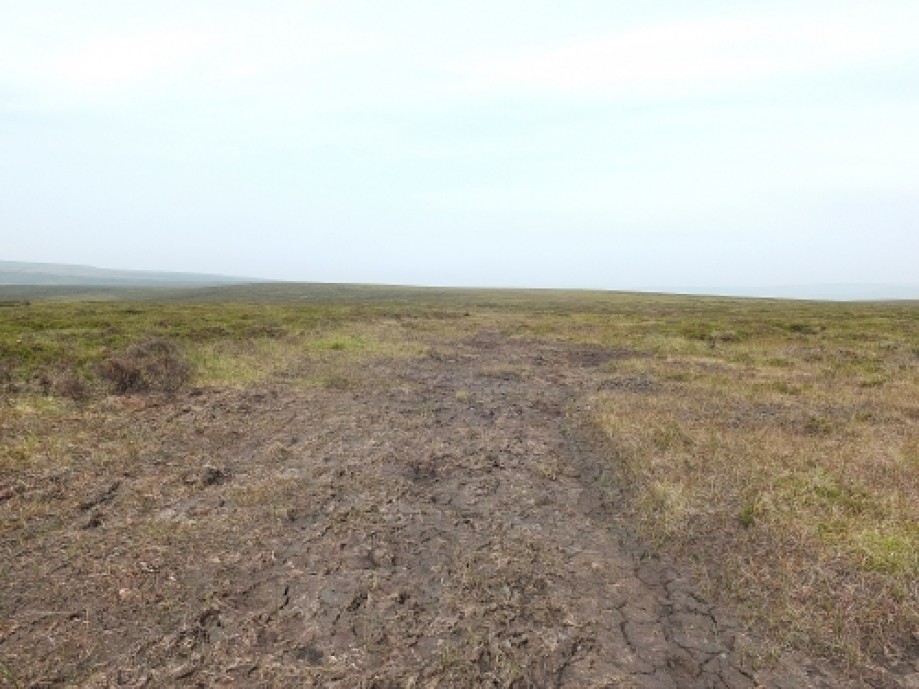
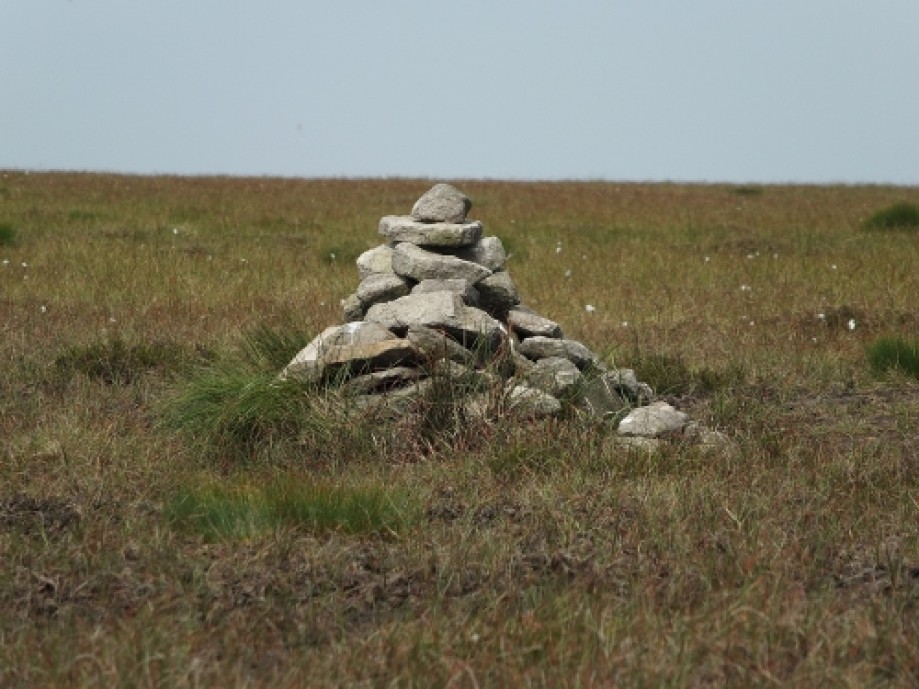
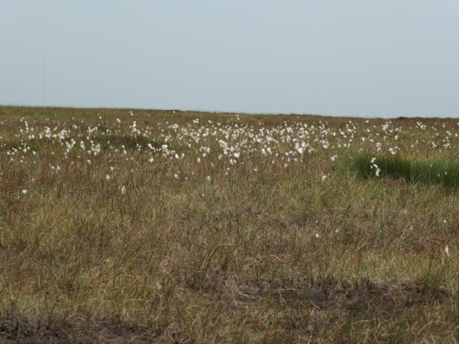
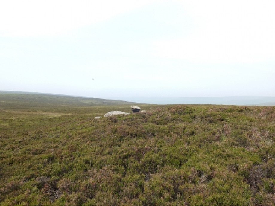
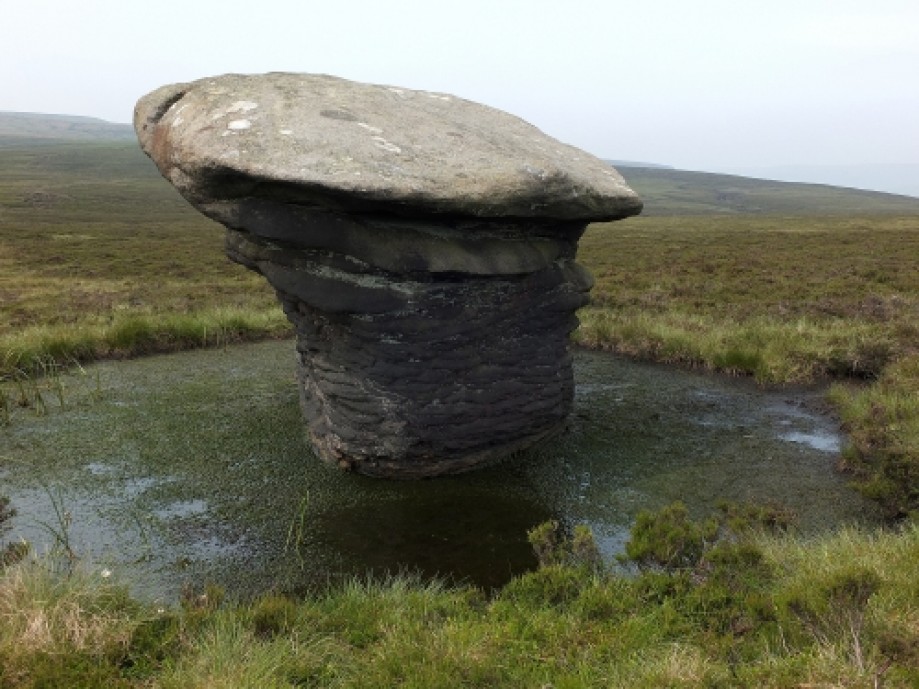
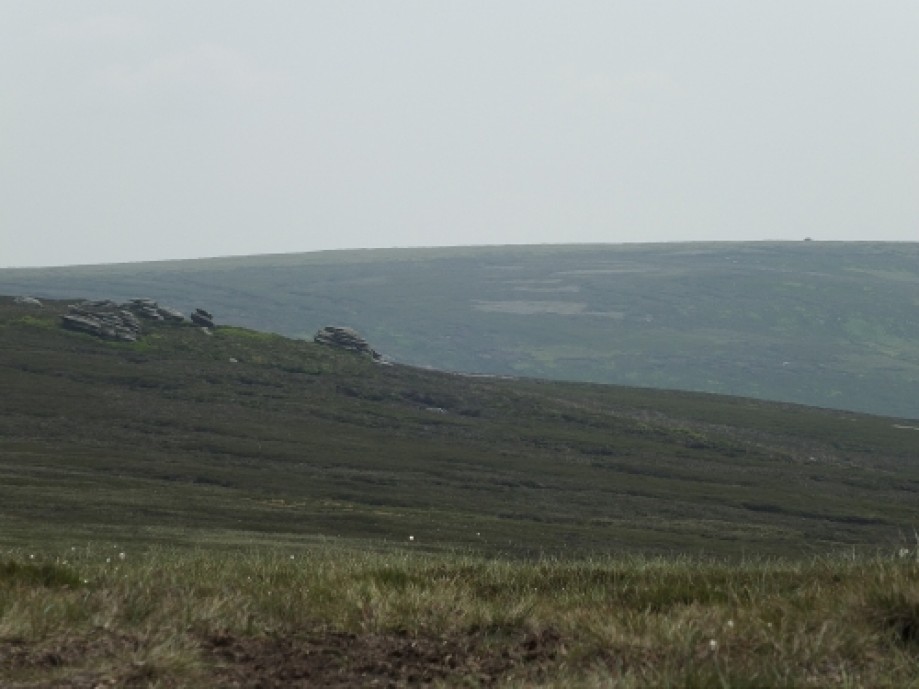
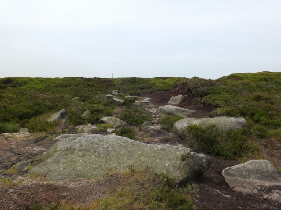
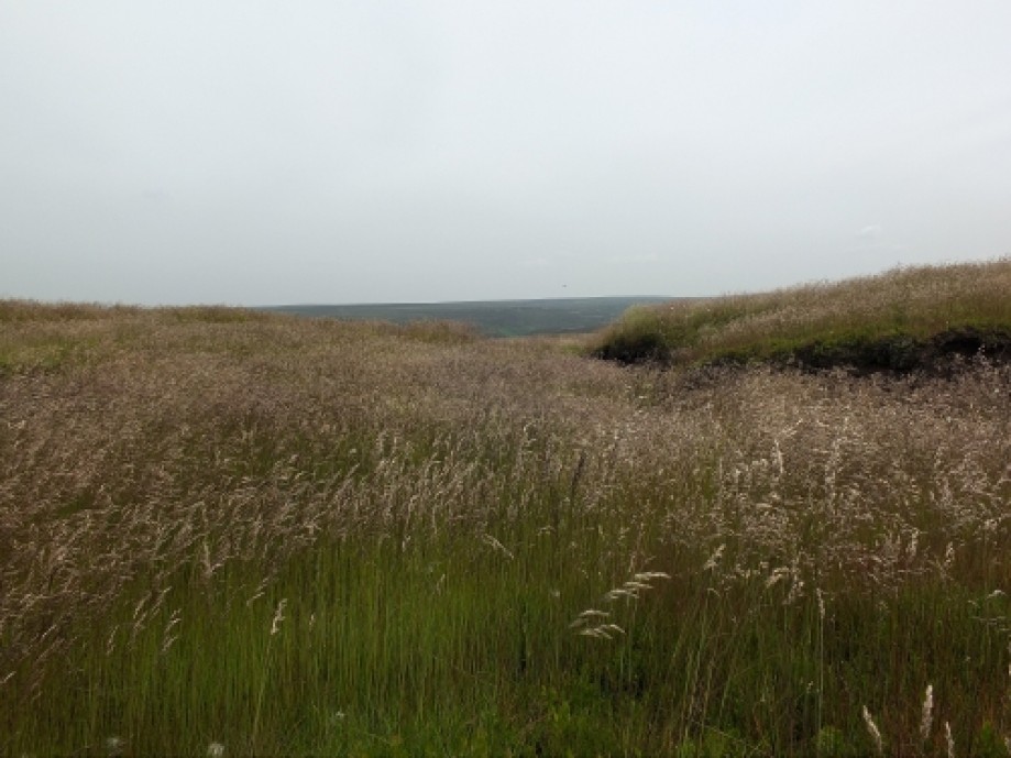
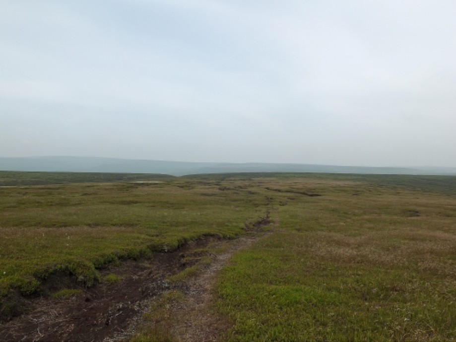
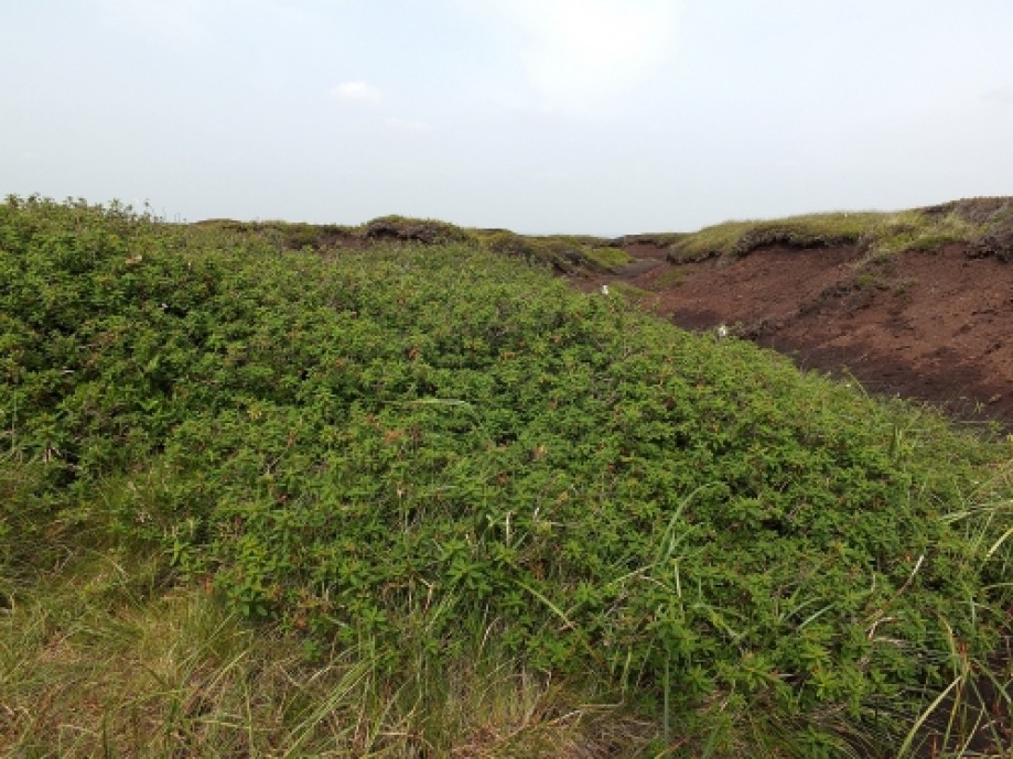
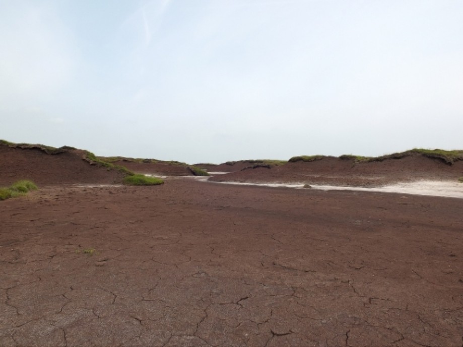
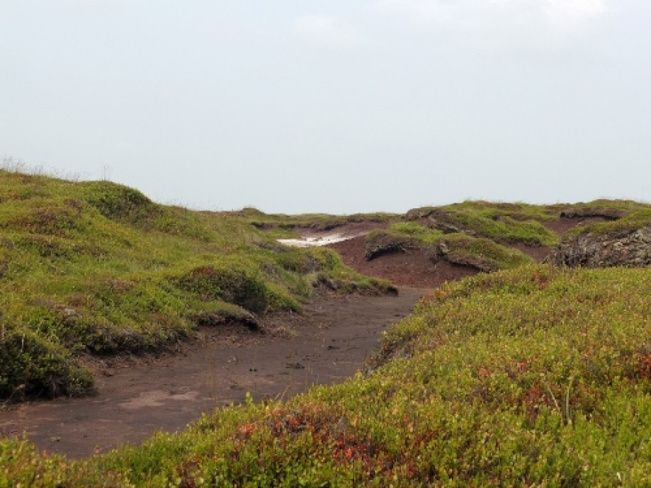
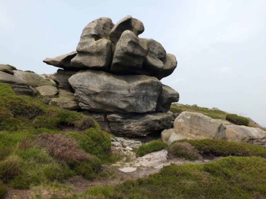
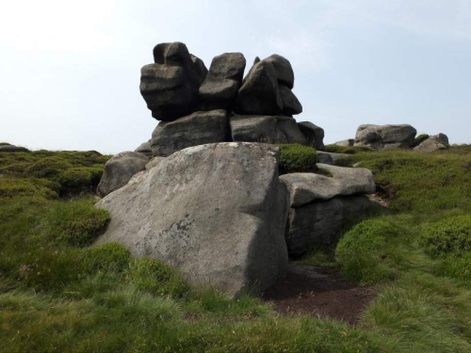
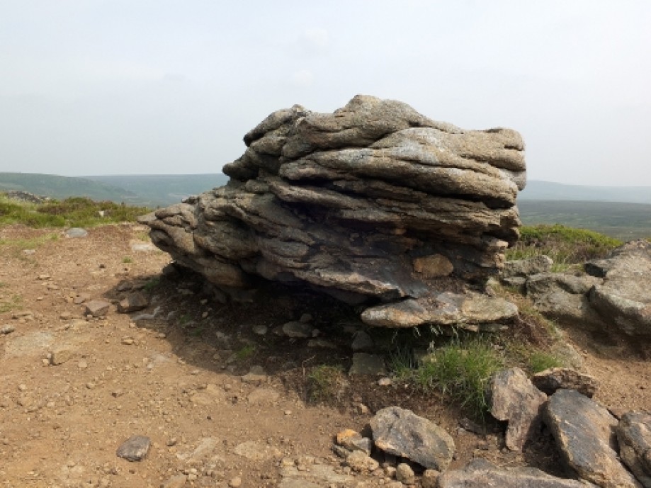
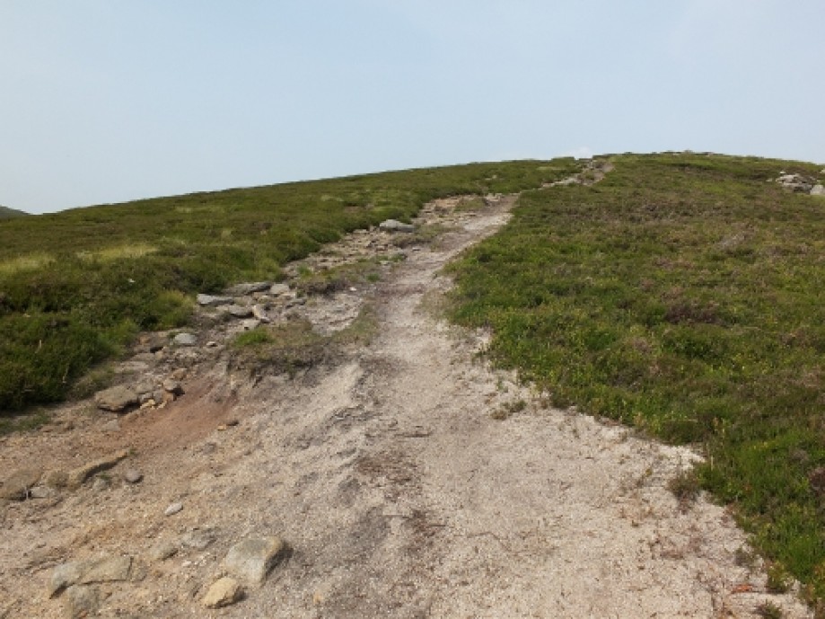
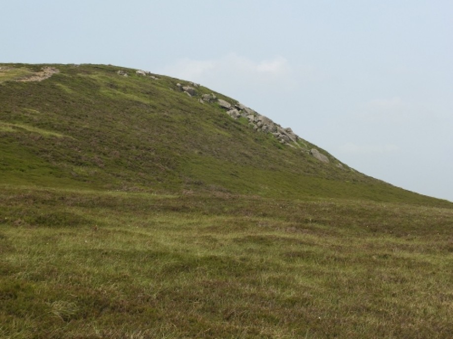
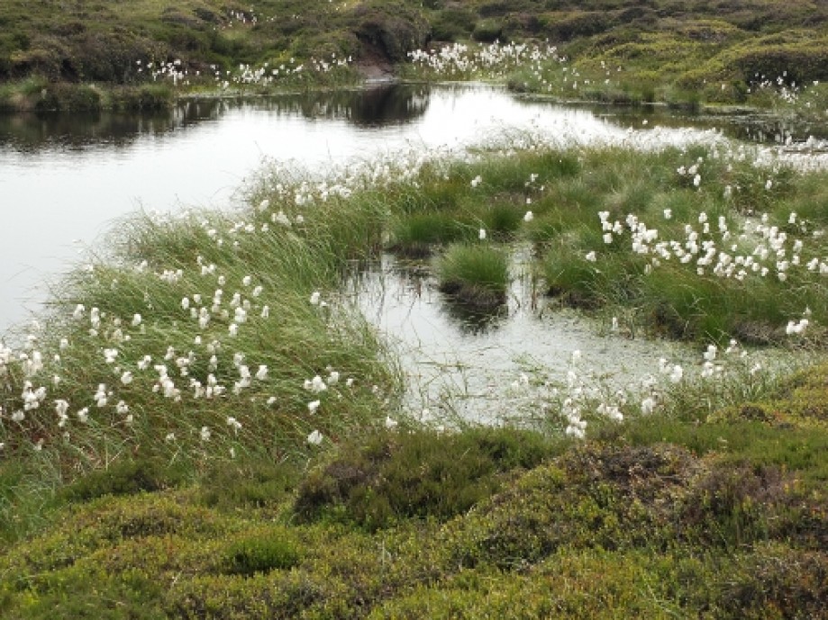
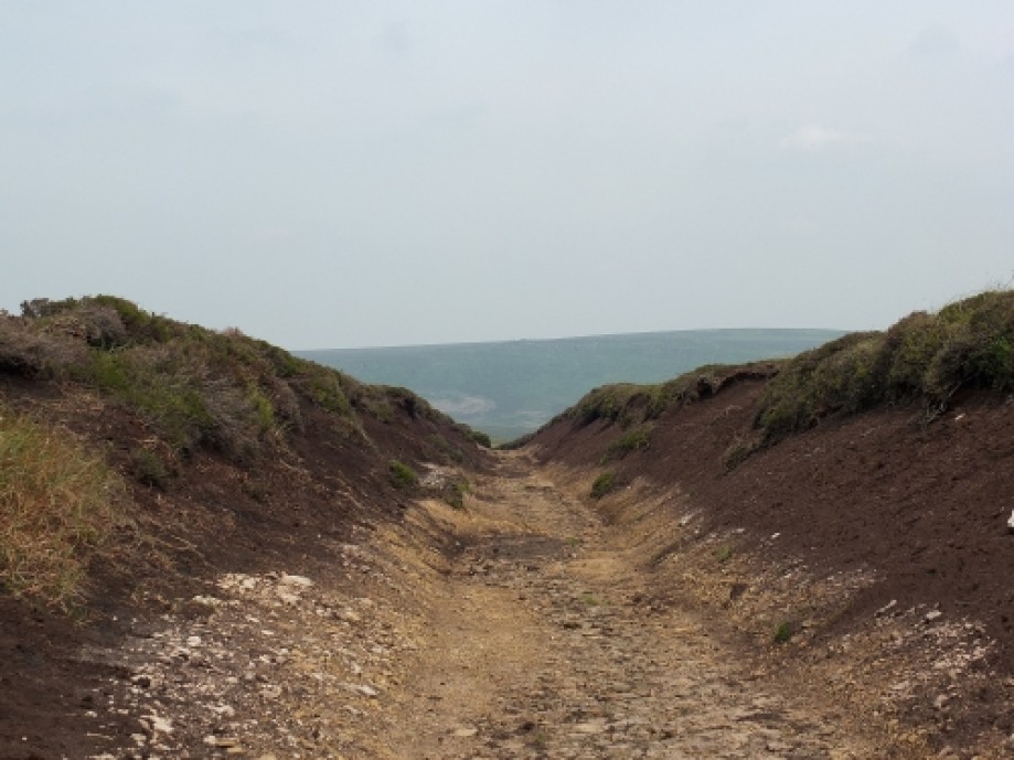
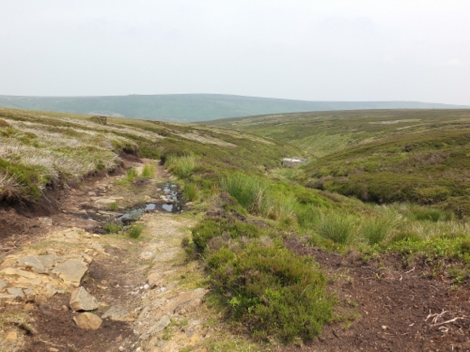
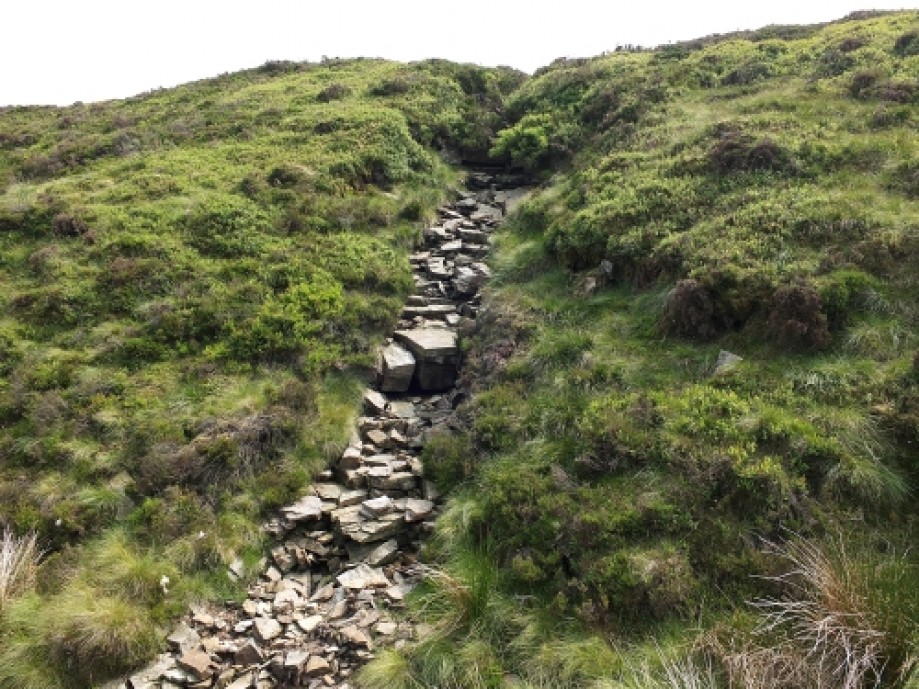
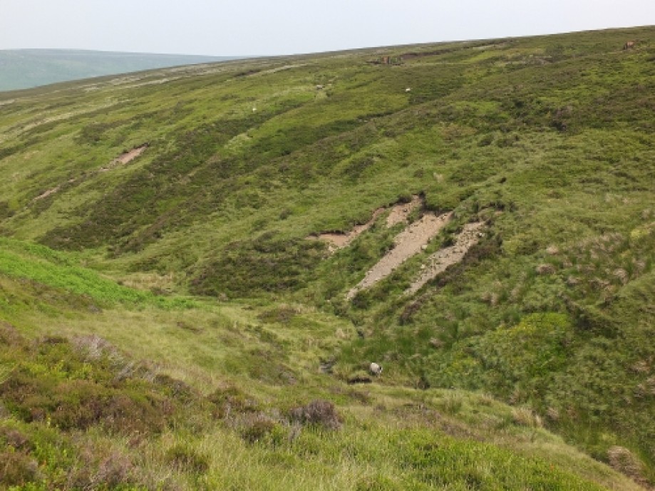
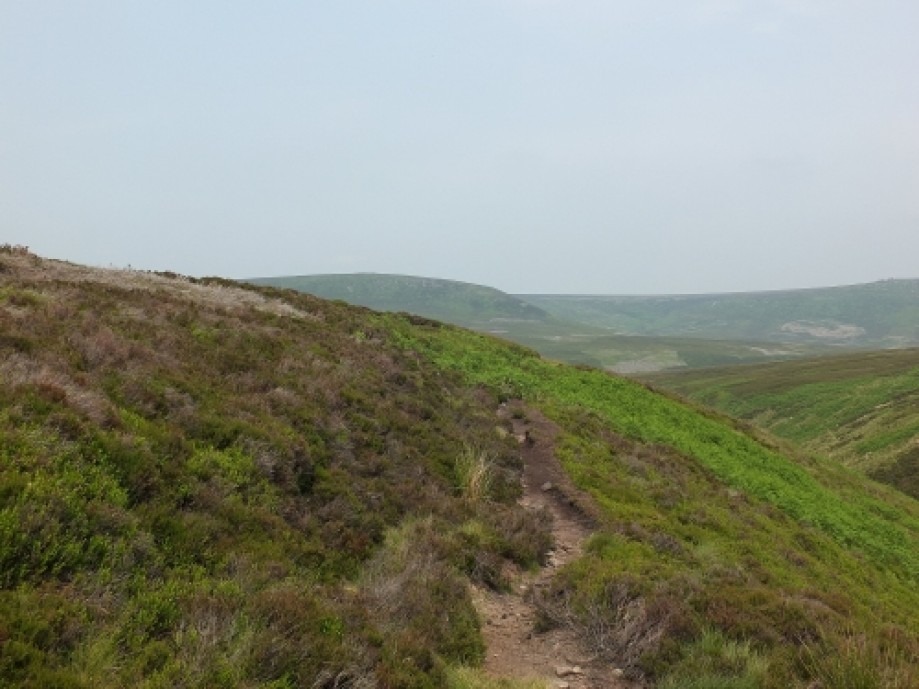
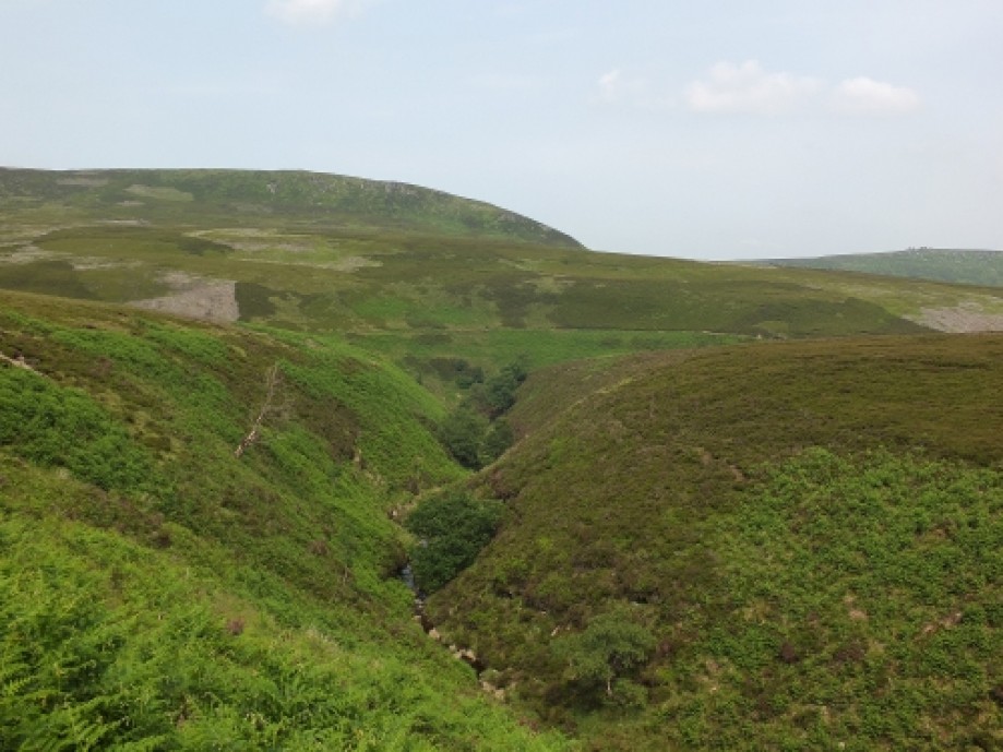
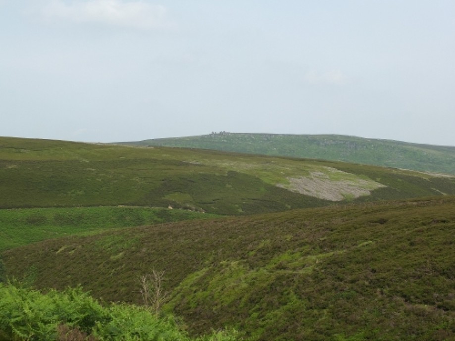
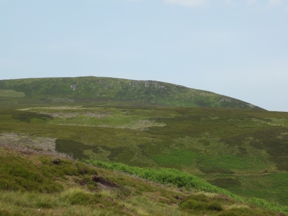
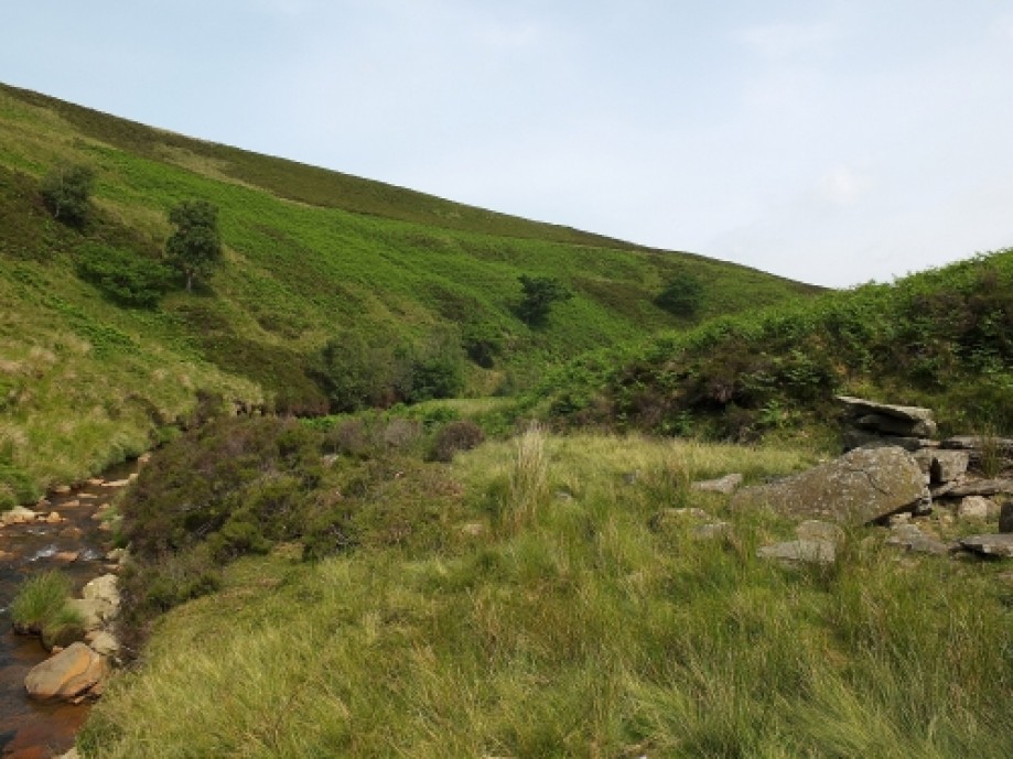
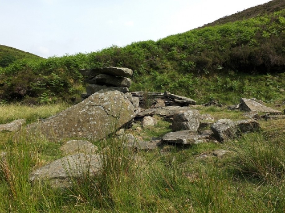
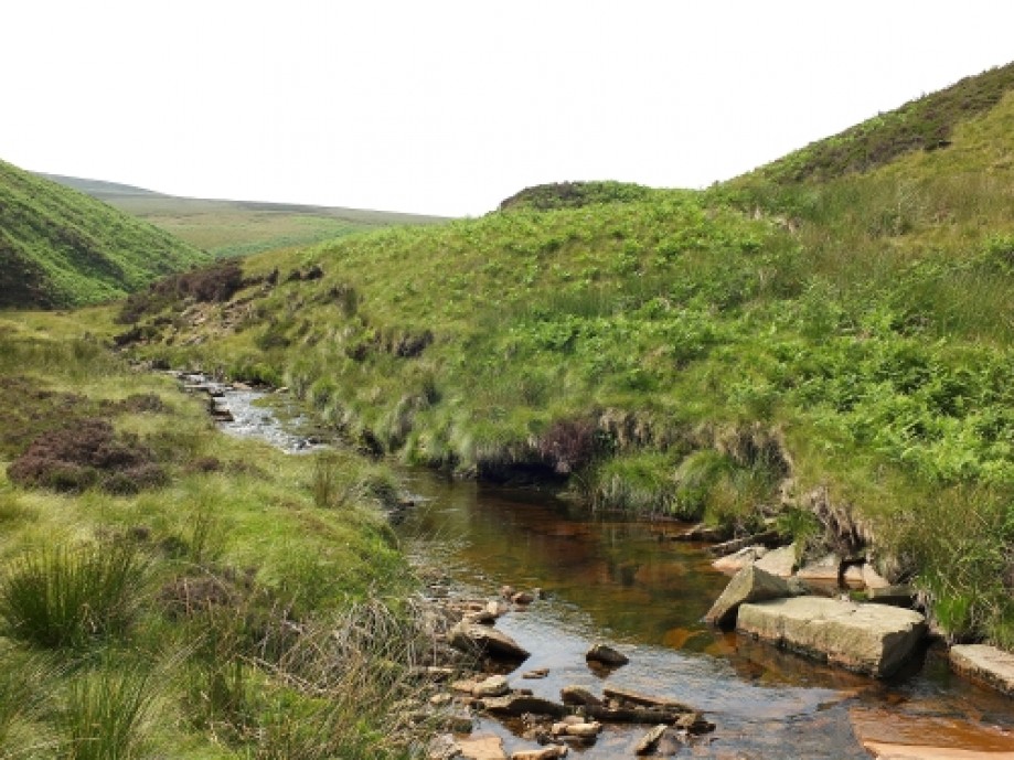
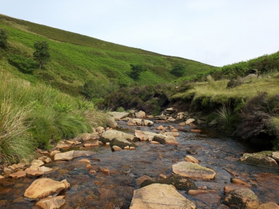
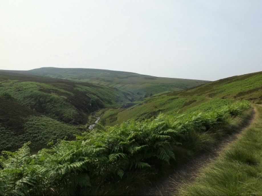
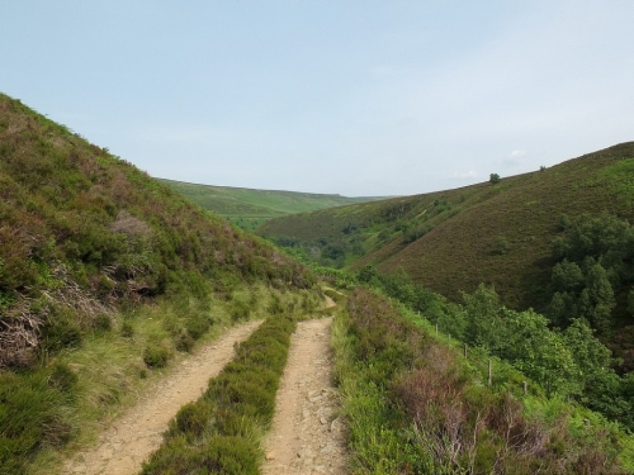
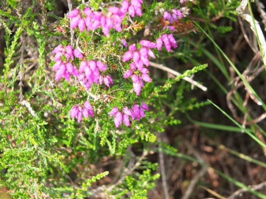
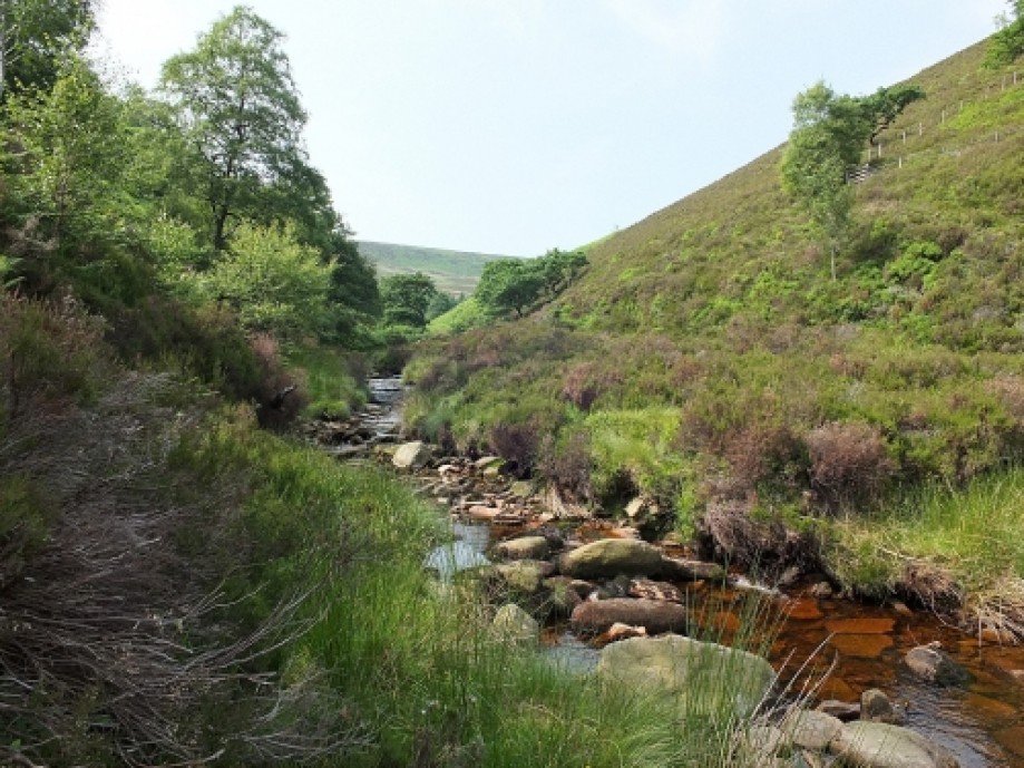
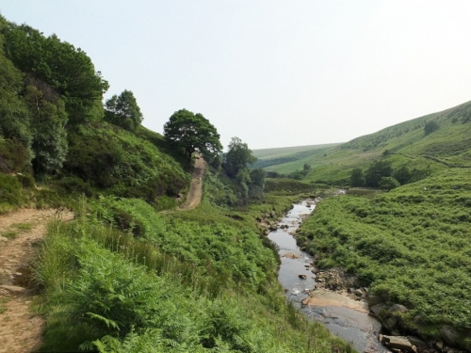
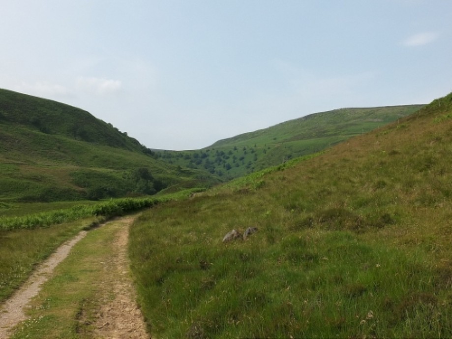
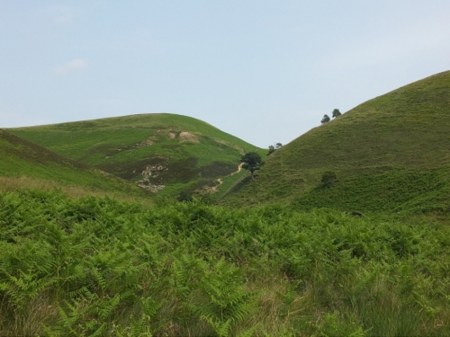
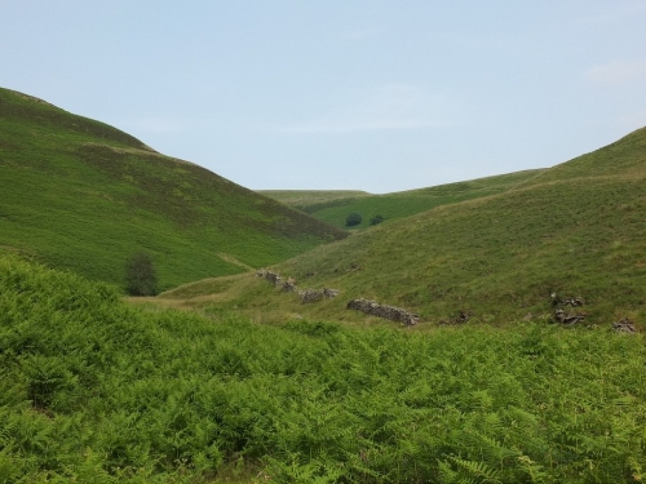
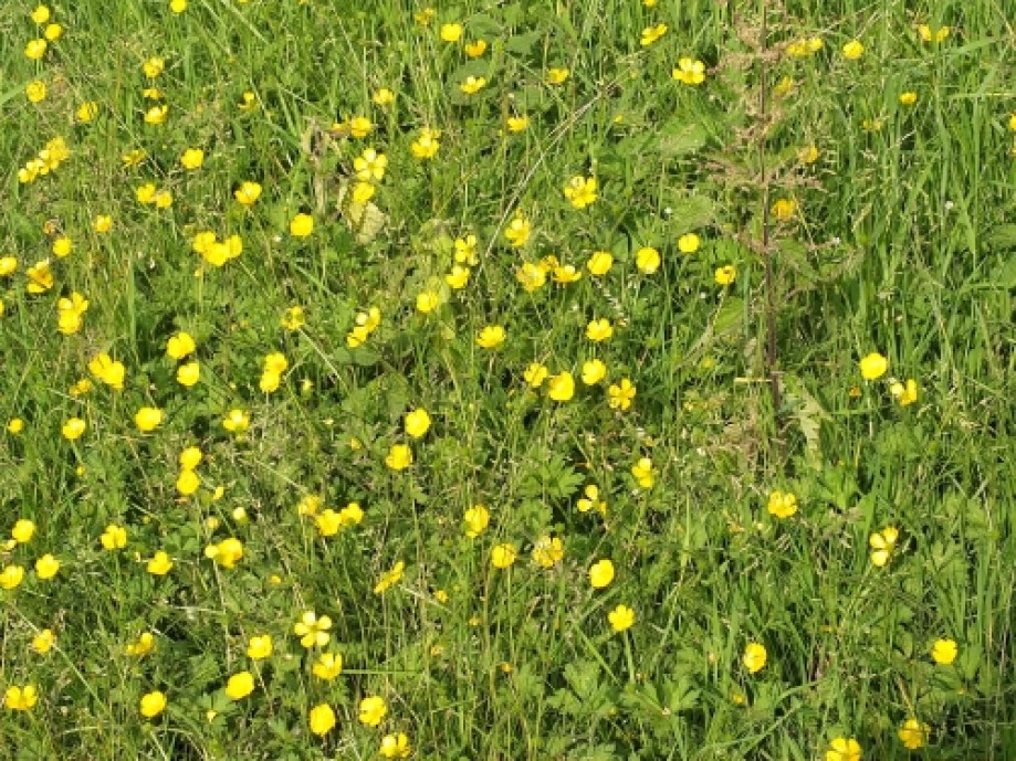
Chart (Mouse wheel zooms in)
Story
A pretty hot day for the UK , no rain for ages , and clear , if possibly hazy air -so pretty good conditions for a walk taking in the Etherow / Derwent watershed line . It's normally a pretty squelchy outing .But today it was rather bouncy , and frighteningly crackly dry . Tinder springs to mind as the analogy , as the warning notices at the gate down to Slippery Stones underlined .The major problem with this route is that , to be honest , there aren't a great number of local features to grab the interest . What is good is usually the peace and quiet , other than trig-baggers asking the way to Outer Edge and the omnipresent Woodhead drone . The views in clear air are spectacular .Unfortunately , as so often in summer highs , the air was hazy . But a plethora of wildlife , and abundant flowering and fruiting made up for that . The stones at the head of Harden Clough , marked with a 'B' , are the Bradfield Parish boundary markers .
You've probably heard the mantras about 'don't go up here unless you ...map and compass....navigate blindfold to 2 cms accuracy' etc etc .All I will say is that I'm a pretty competent navigator with map , compass and also GNSS , but would still defy anyone to keep to the path from Outer Edge to Swains Head in bad visibility when alone. Because when the hill features over the Derwent valley to the left are invisible , there is literally nothing in sight to take a bearing on , nary even a blade of grass , and navigating with blind accuracy to the one small cairn en route would be a skill I could only admire and envy . In a group it's a different story , and I assume you know exactly what to do . If the mist came down I would go due south in as straight a line as possible , and then work my way down to the Derwent valley .
You've probably heard the mantras about 'don't go up here unless you ...map and compass....navigate blindfold to 2 cms accuracy' etc etc .All I will say is that I'm a pretty competent navigator with map , compass and also GNSS , but would still defy anyone to keep to the path from Outer Edge to Swains Head in bad visibility when alone. Because when the hill features over the Derwent valley to the left are invisible , there is literally nothing in sight to take a bearing on , nary even a blade of grass , and navigating with blind accuracy to the one small cairn en route would be a skill I could only admire and envy . In a group it's a different story , and I assume you know exactly what to do . If the mist came down I would go due south in as straight a line as possible , and then work my way down to the Derwent valley .