Trek to Connector Trail
Map Explore
Photos
Junction with Tin Shanty Road
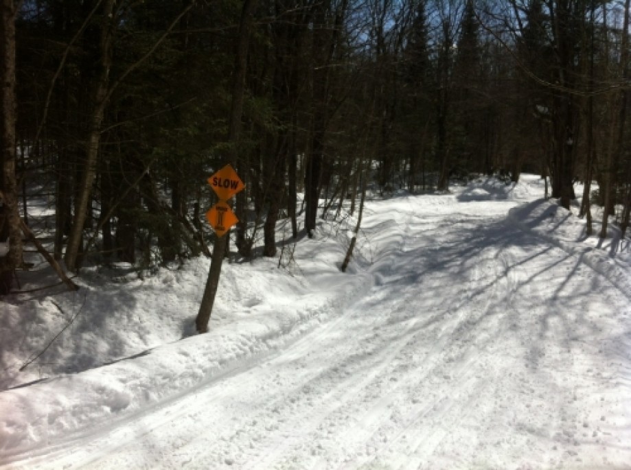
Sharp corner 4 & 7
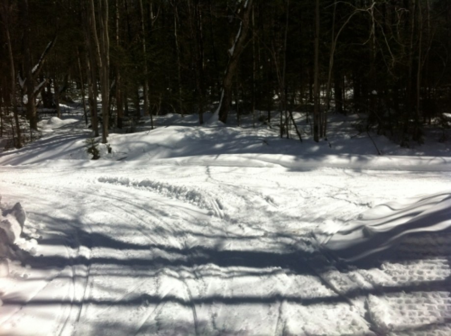
4 & 7 takes a sharp turn
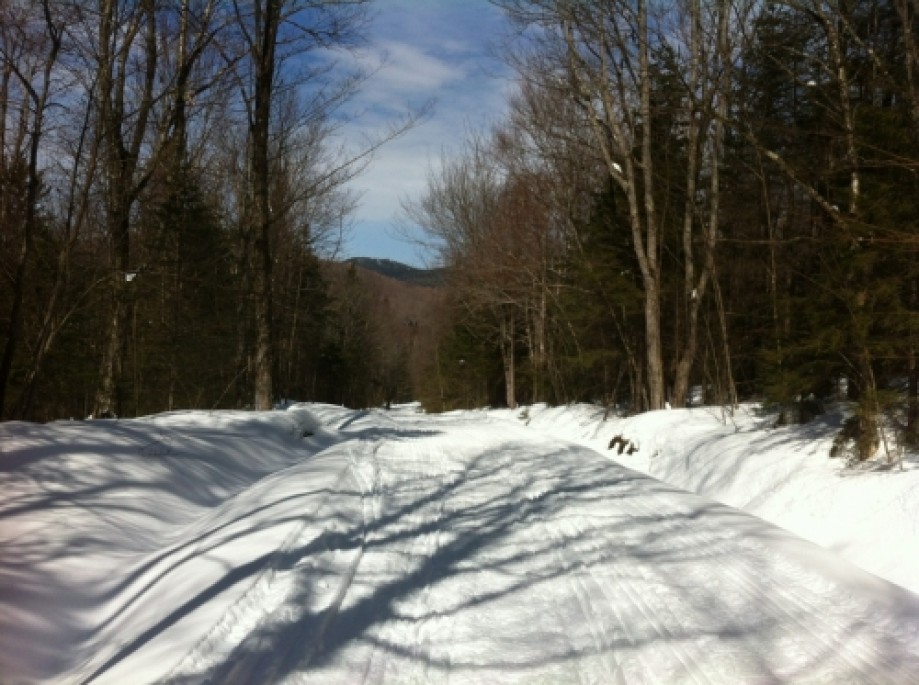
View of a ridge
Invisible Bridge
A Bridge
Jockey Hill
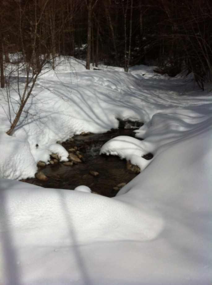
Alternate Creek Crossing
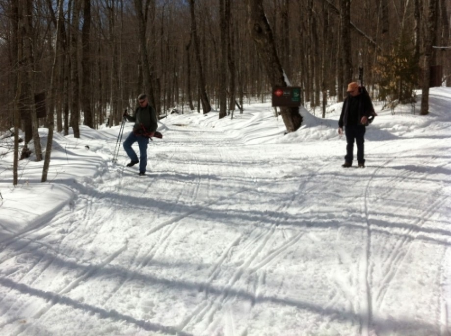
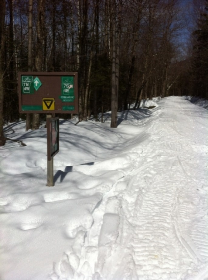
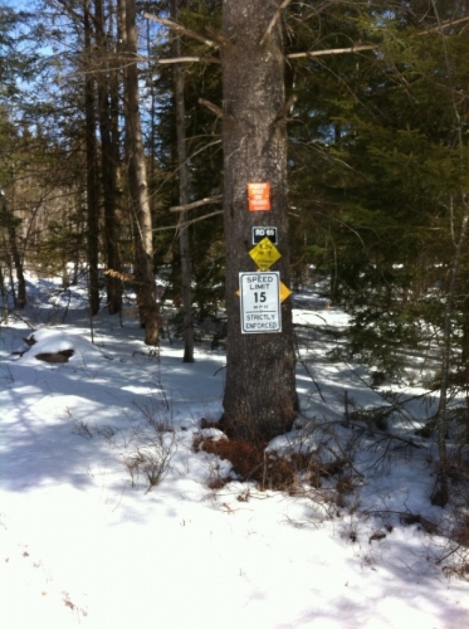
Junction of 4 & 7 and connector trail
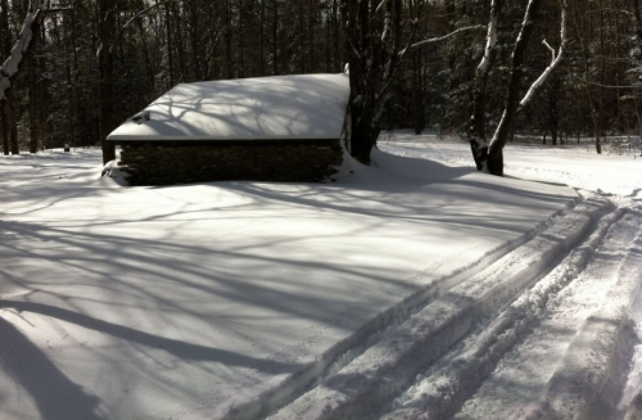
Back of Clement Shelter
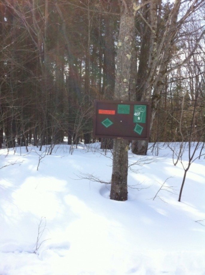
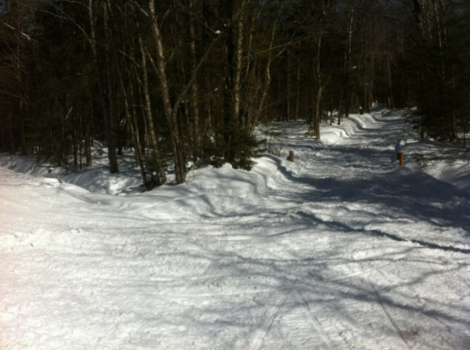
Junction 407 and connector trail
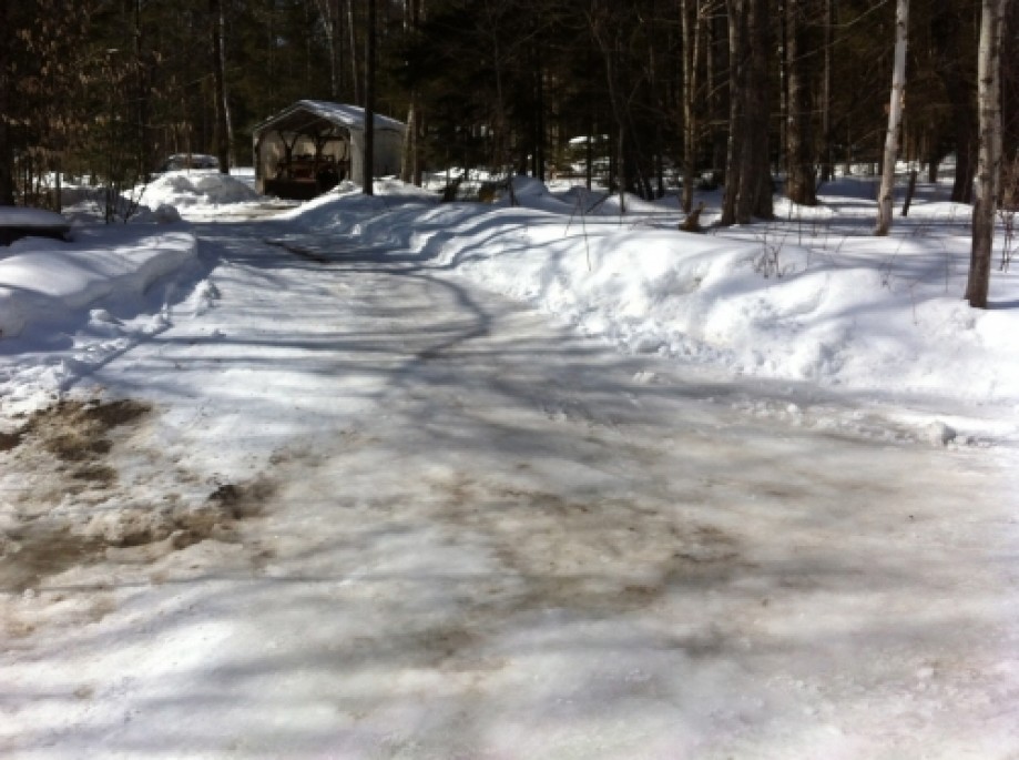
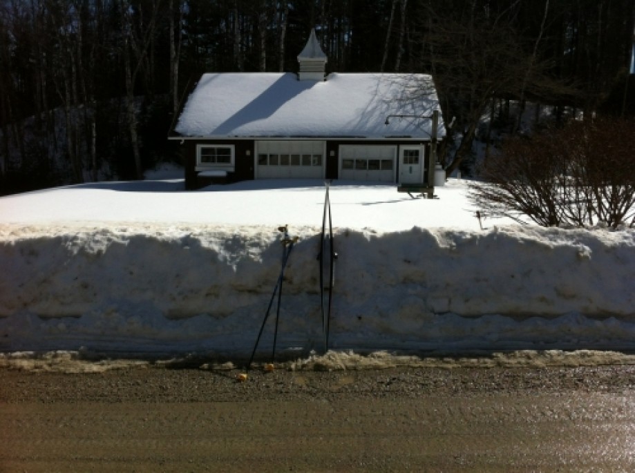
Lightly Plowed Driveway off Gilman Road
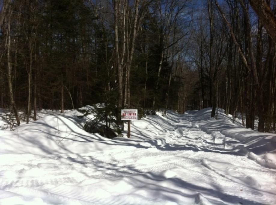
Junction with Closed Trail
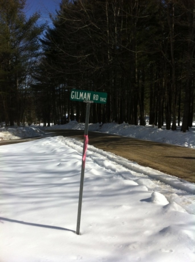
Gilman Road
Just to show snow depth
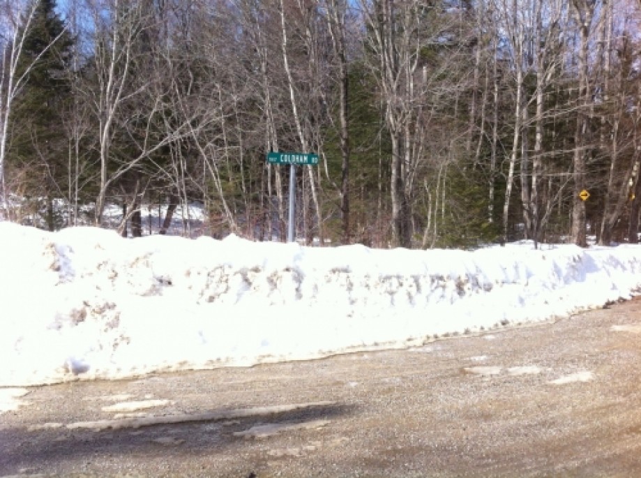
Coldham Road
VAST Parking Lot, North Shrewsbury
Chart (Mouse wheel zooms in)
Story
This was a 10 mile trip to track just the 1 mile of connector trail between the two corridors 4 & 7 and 407 just North of Clement Shelter. Also Thanks to Gary Arthur for noticing that roads tracked in this trip and on the original track via the groomer did not belong in the Sno-Birds trail map. On both trips the Gilman and Upper Cold River roads were used for convenience. It is much shorter than the route back over the 2,600 ft. hill east of Clement Shelter. As for this trip on skis, I was just plain tired while the trip in the groomer with Roy, heading over the steep hill that had given us so much trouble didn't seem like a good idea so the road route was the best alternative in both situations.