Plodersee Loop
Map Explore
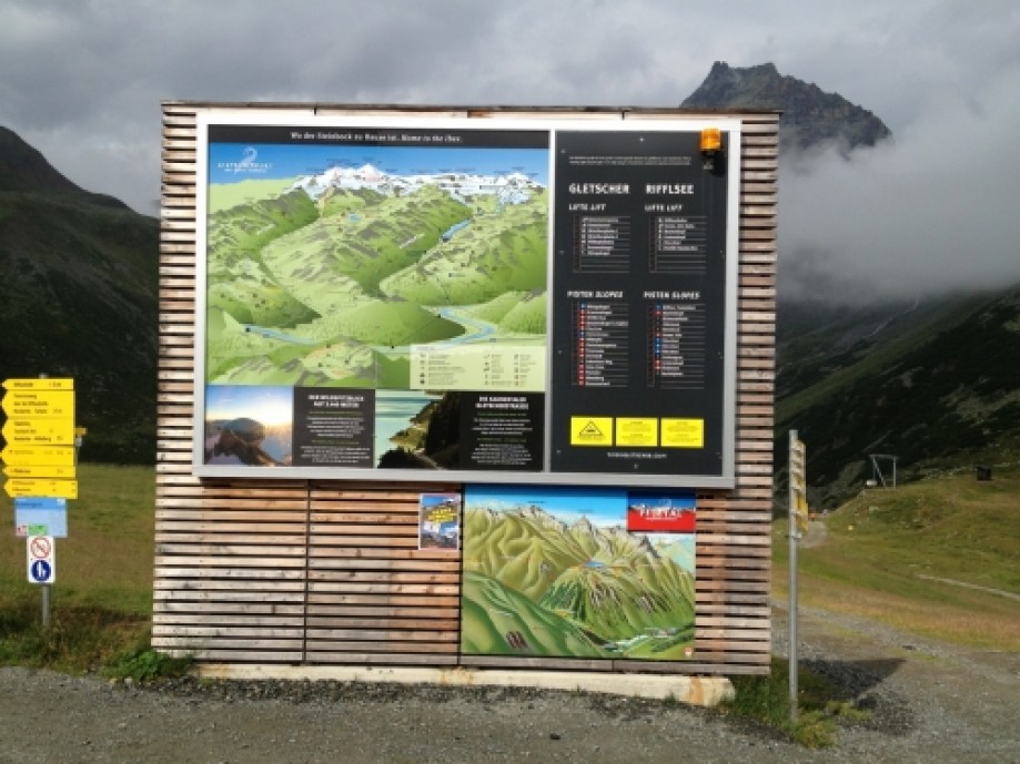
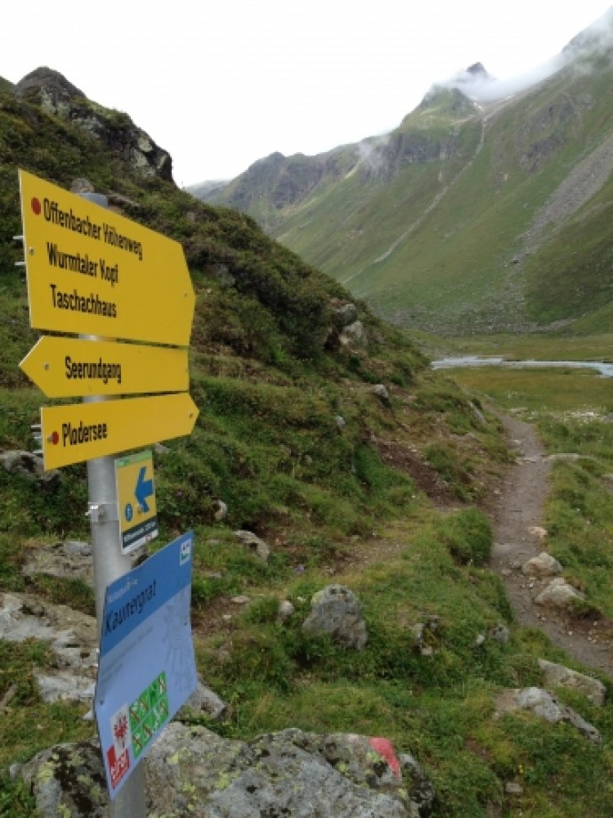
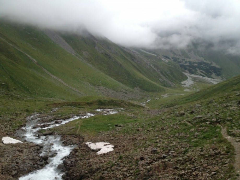
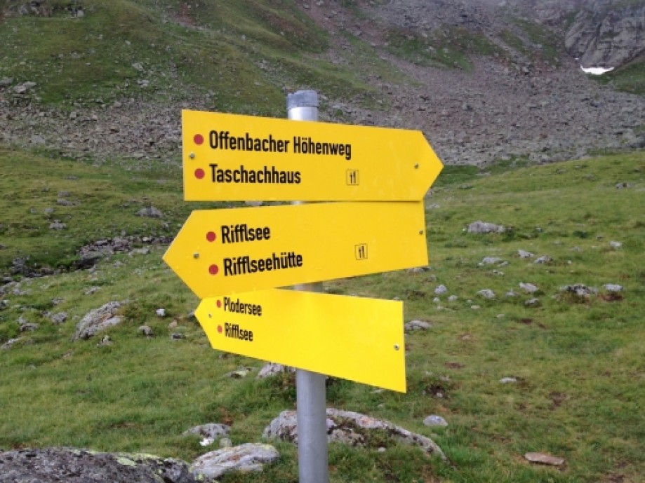
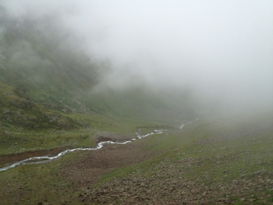
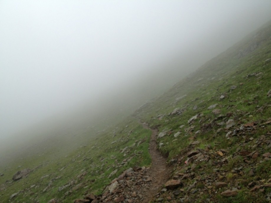
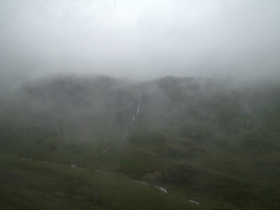
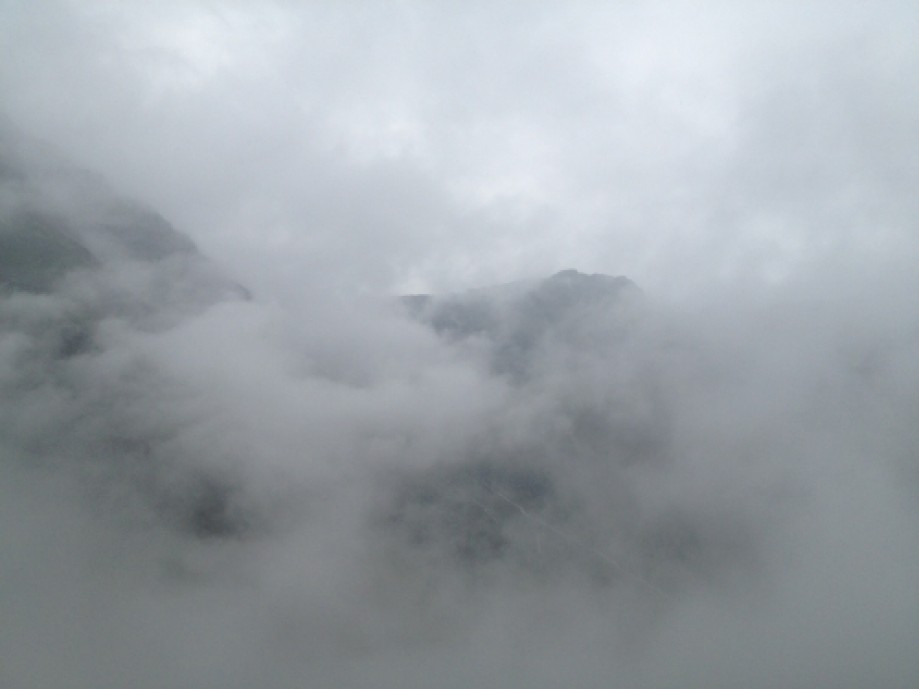
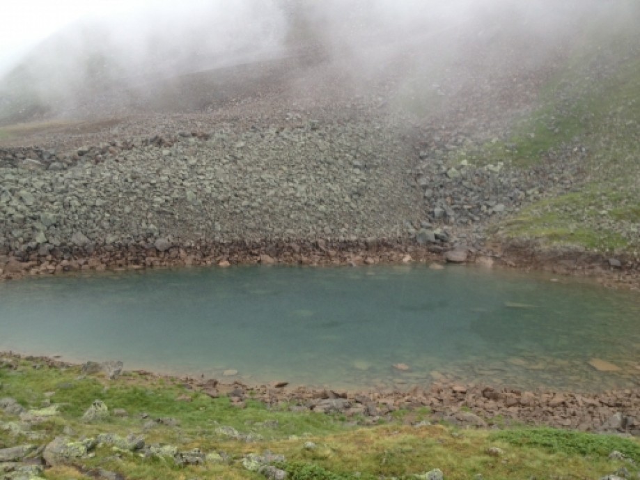
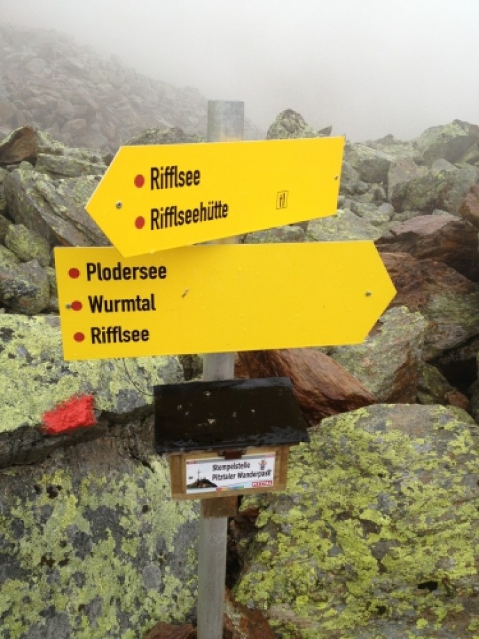
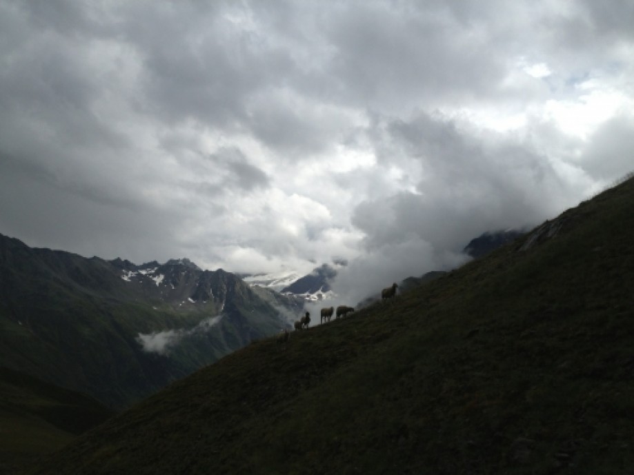
Chart (Mouse wheel zooms in)
Story
A scenic loop that takes you to the Plodersee. The first part is relatively easy, it just follows the Rifflsee until you get at the junction with the Riffelsee loop (left) and to the Plodersee (right). From here the path gets harder, both from the moderate and constant ascent and from the uneven terrain; the path is full of little and large rocks. Be carefull when hiking in wet conditions, the rocks can be very slippery! After a while the route turns left, up the side of a mountain. This section is quite easy as it stays relatively flat. After about 20-30 min. you reach the Plodersee, a small alpine lake. You can then either take the ski slope back down or follow the marked (and tracked) path. Please note that the 'Shortcut' waypoint should not be followed as it goes off-path. We had to take this route because of severe weather conditions. I recommend that you follow the path and the signs back to the Rifflsee.
- Always be prepared for changing weather, especially in these high alpine areas. As you can see from the photos, we had some very bad weather. Even on a clear day, the weather can change suddenly!
- The waypoint 'Shortcut' was chosen because of the weather, if we had continued to follow the trail we would have to hike a lot further. If you have good weather, then just ignore this route and continue with the paved trail.