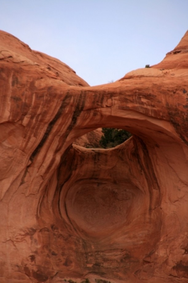
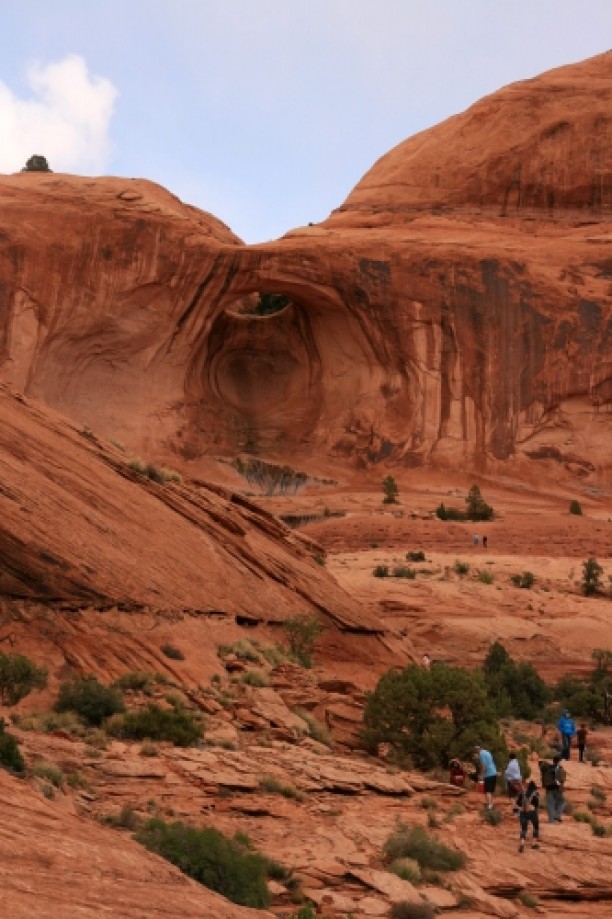
Corona Arch
Map Explore
Photos
IMG_2823.jpg
P1000201.jpg
P1000202.jpg
IMG_3283.jpg
IMG_2727.jpg
IMG_3282.jpg
IMG_2732.jpg
IMG_3281.jpg
IMG_2733.jpg
IMG_2735.jpg
IMG_2816.jpg
IMG_2808.jpg
P1000205.jpg
IMG_2739.jpg
IMG_2741.jpg
IMG_2798.jpg
IMG_2742.jpg
P1000206.jpg
IMG_2745.jpg
IMG_2746.jpg
IMG_2748.jpg
IMG_2750.jpg
P1000208.jpg
P1000209.jpg
P1000211.jpg
IMG_2751.jpg
IMG_3279.jpg
P1000212.jpg
P1000213.jpg
IMG_2752.jpg
IMG_2753.jpg
P1000215_stitch.jpg
P1000219.jpg
IMG_2754.jpg
P1000223.jpg
IMG_2772.jpg
IMG_2773.jpg
IMG_2775.jpg
IMG_2776.jpg

IMG_2777.jpg
IMG_2780.jpg
IMG_2781.jpg
IMG_2782.jpg
IMG_2783.jpg
IMG_2785.jpg
IMG_2786.jpg
IMG_2787.jpg
IMG_2790.jpg
IMG_2791.jpg
IMG_2792.jpg
IMG_2793.jpg
IMG_2795.jpg
IMG_2757.jpg
IMAG0787.jpg
IMG_2760.jpg
IMG_2764.jpg
IMG_2766.jpg
P1000222.jpg
IMG_2768.jpg
IMG_2770.jpg
Chart (Mouse wheel zooms in)
Story
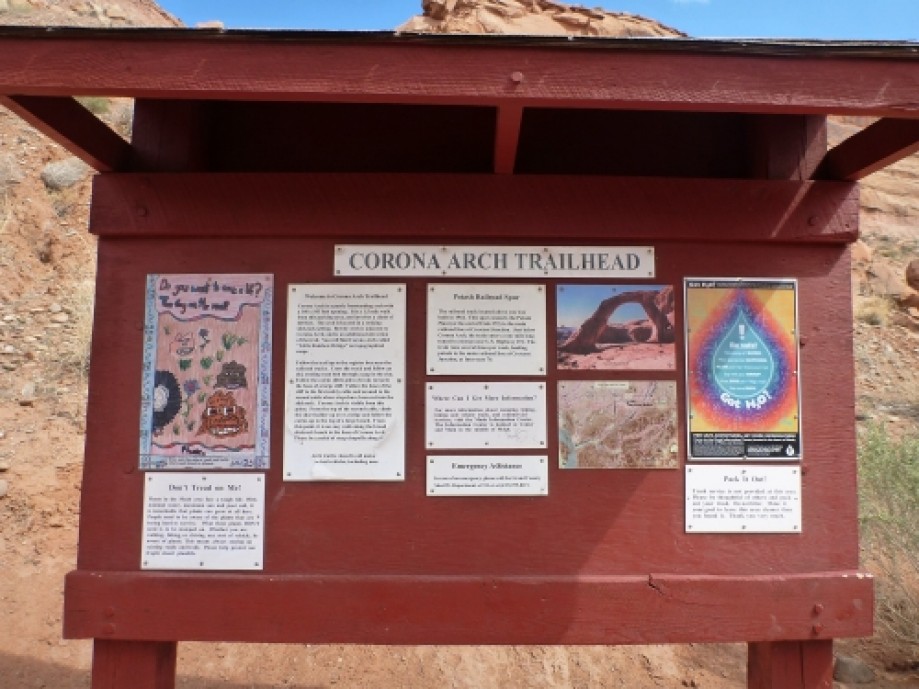
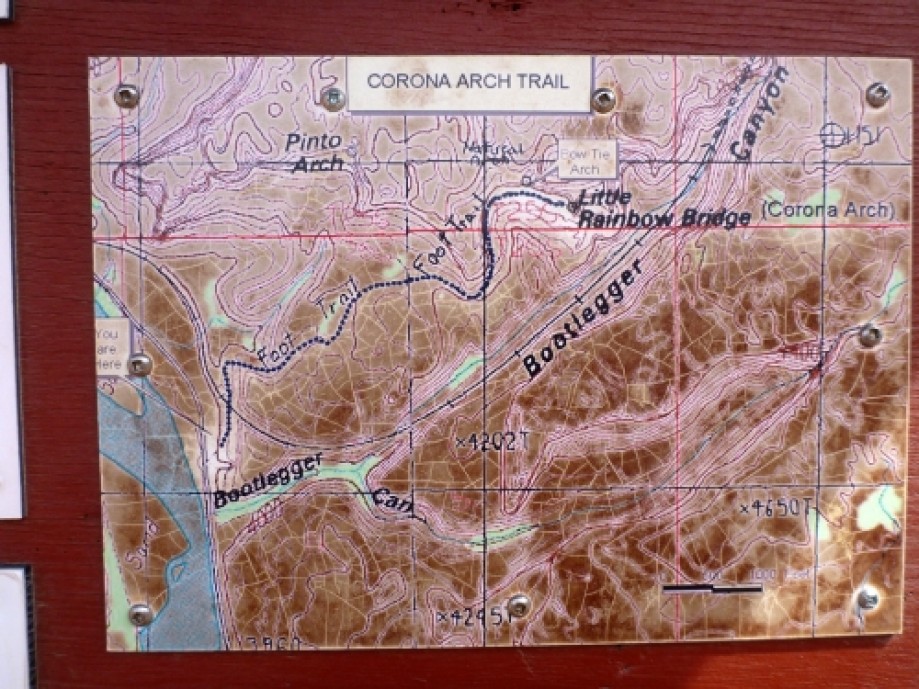
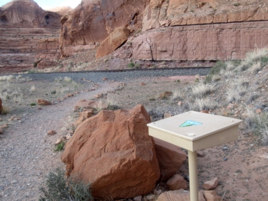
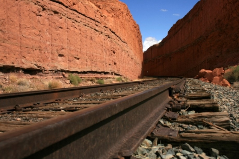
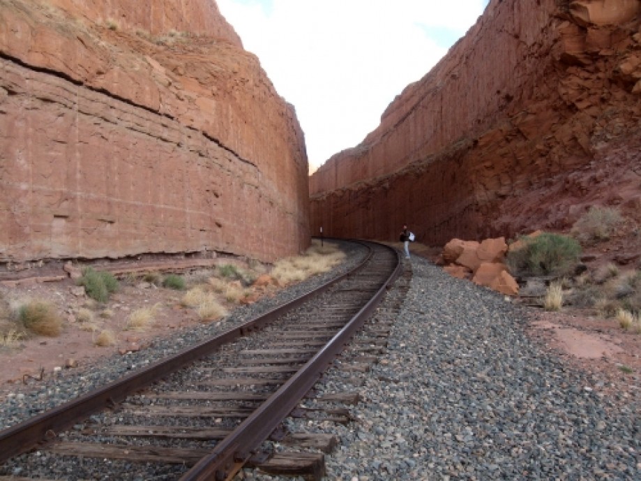
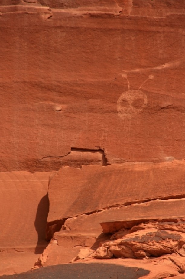
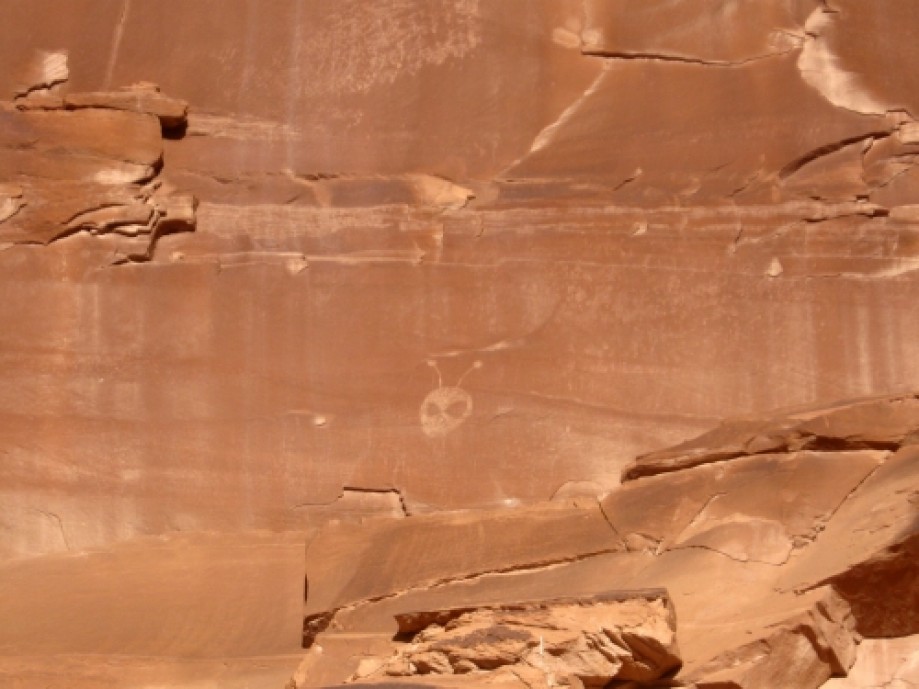
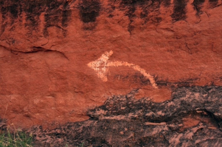
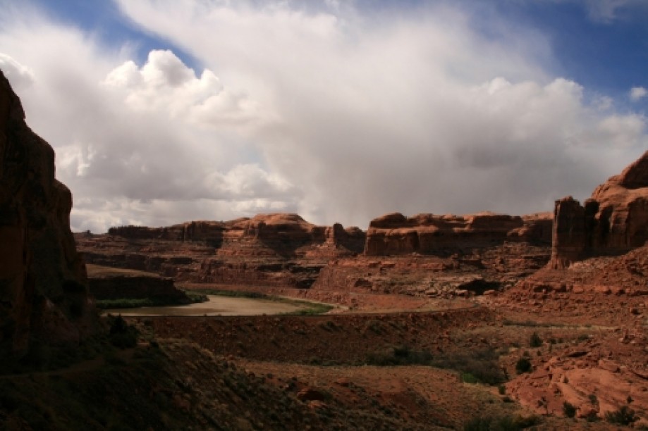
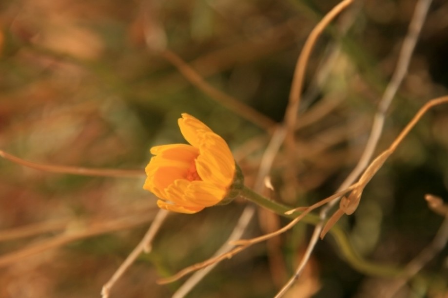
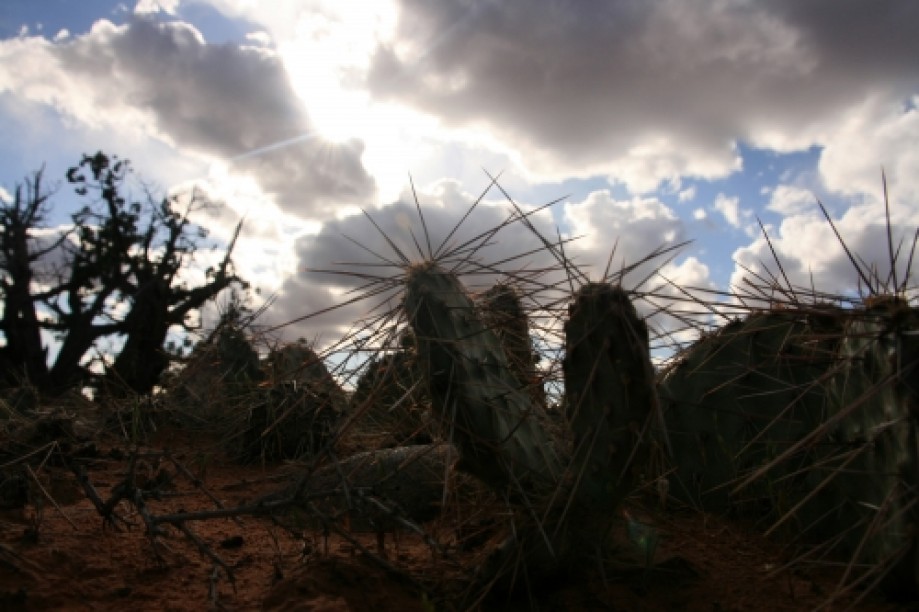
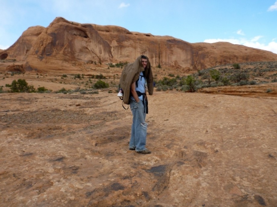
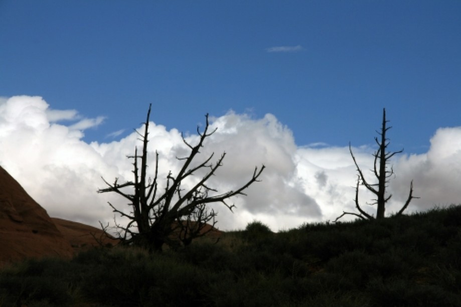
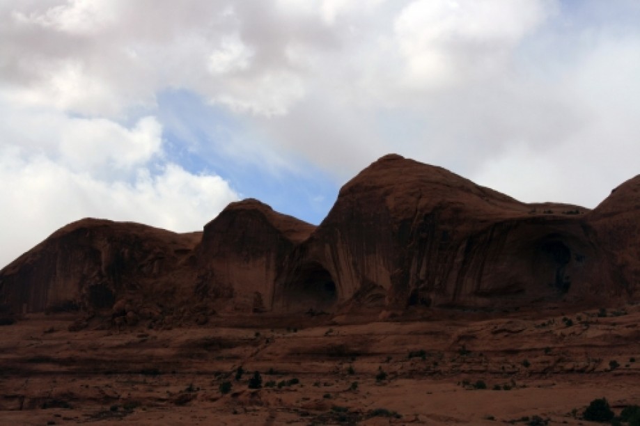
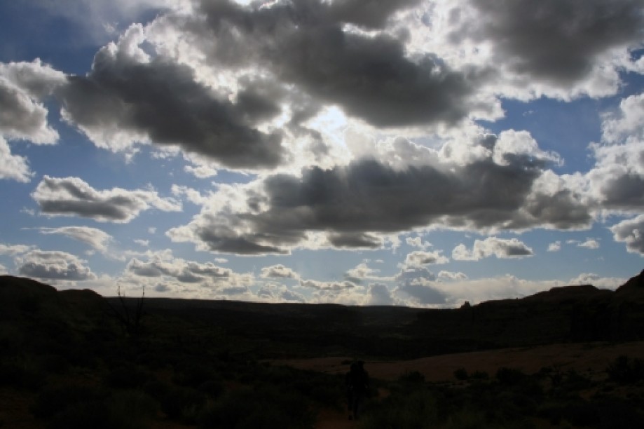
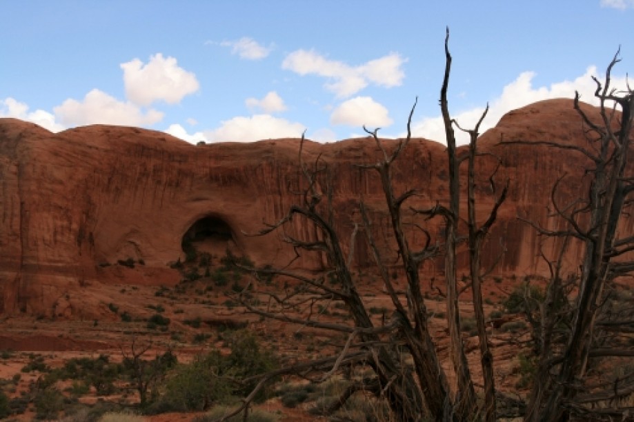
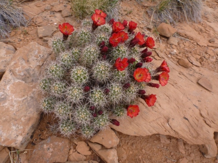
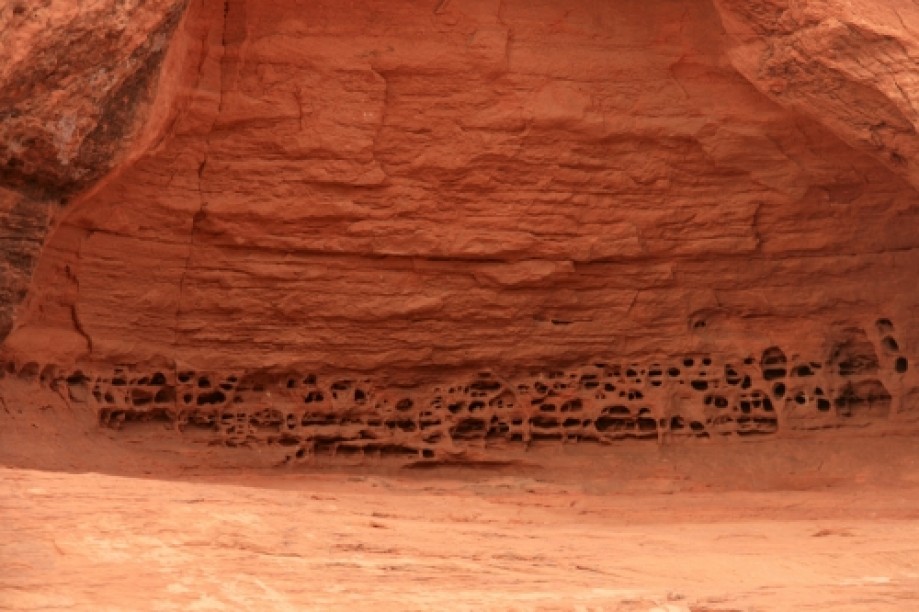
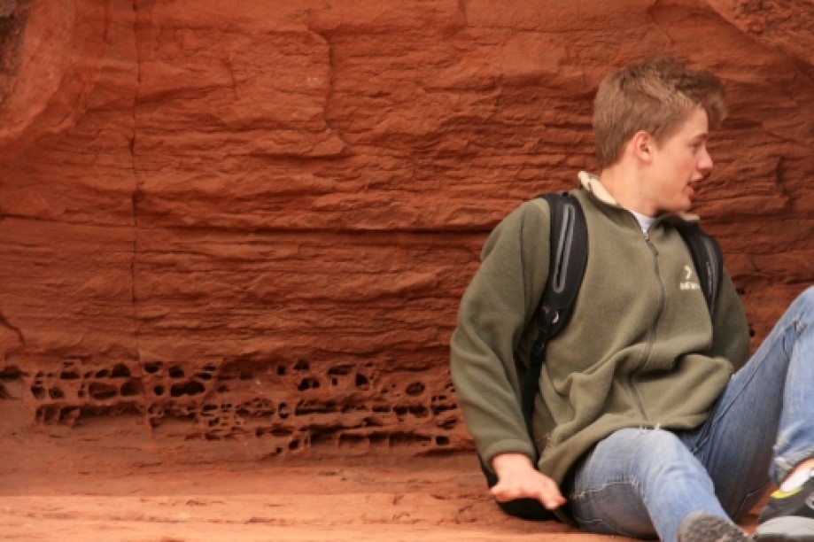
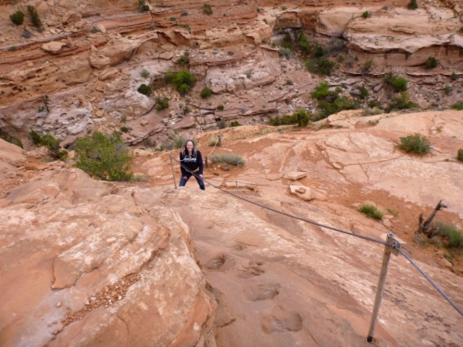
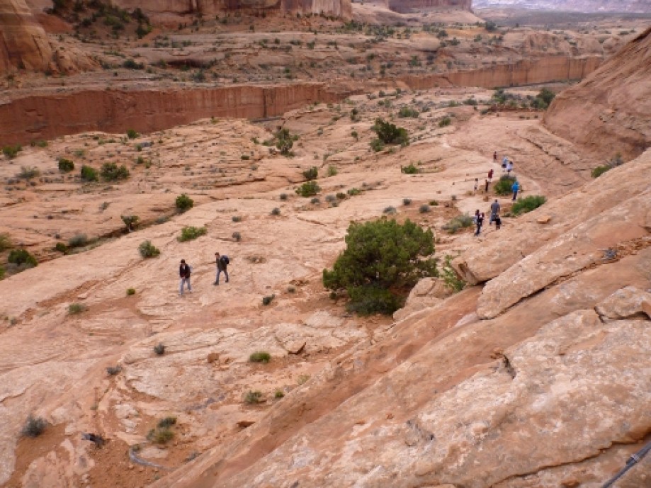
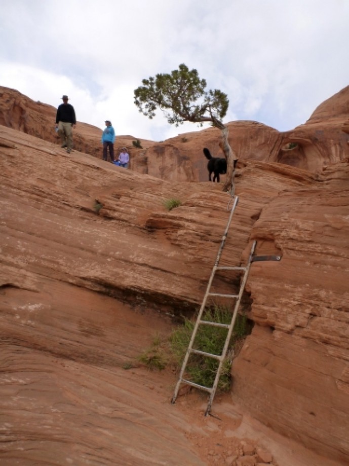
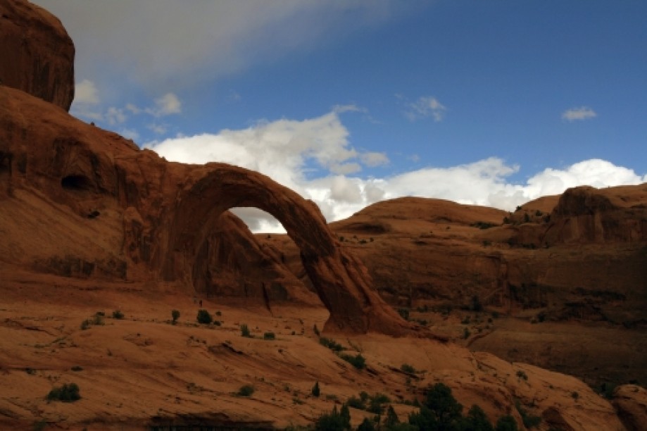
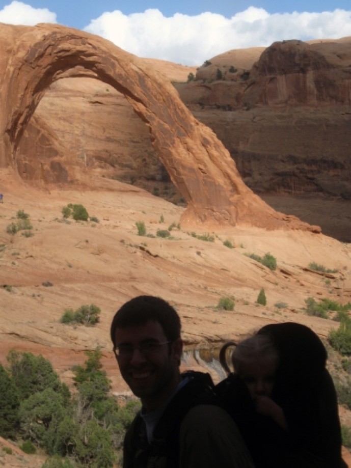
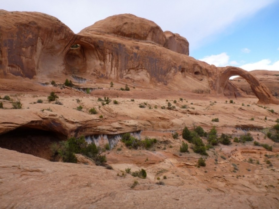
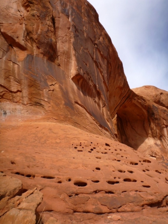
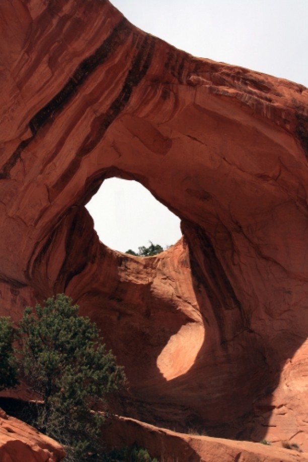
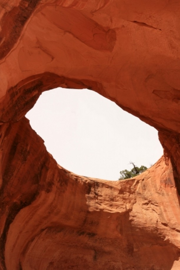
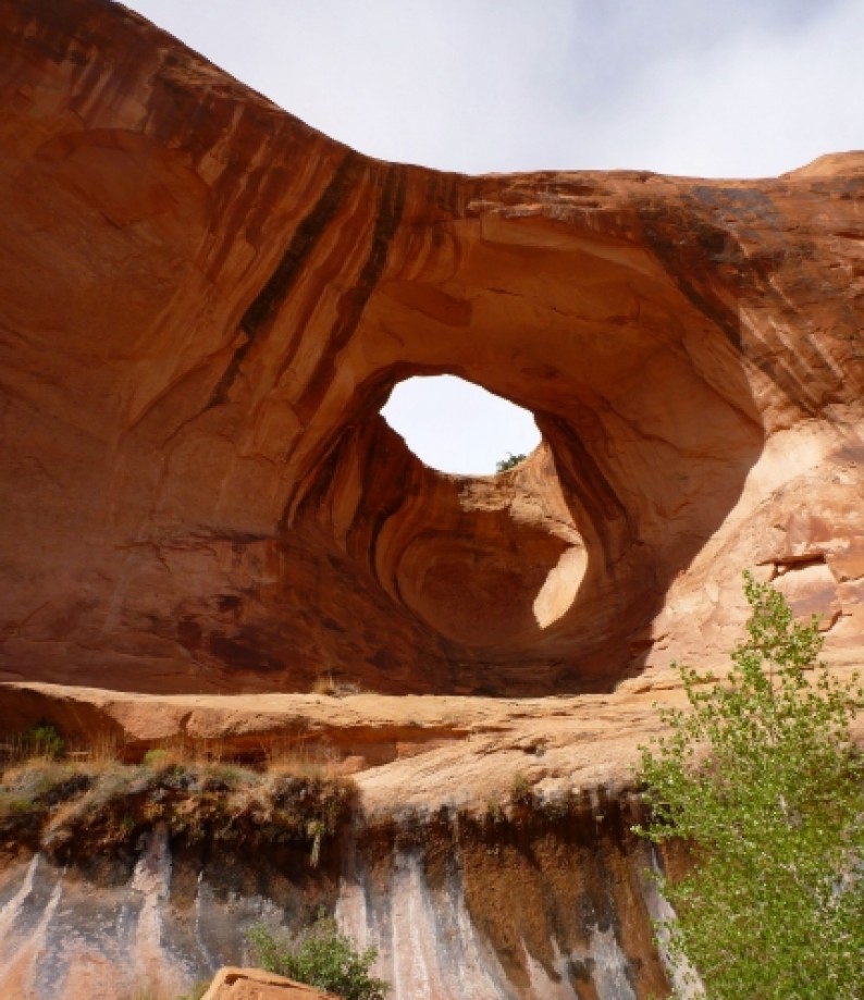
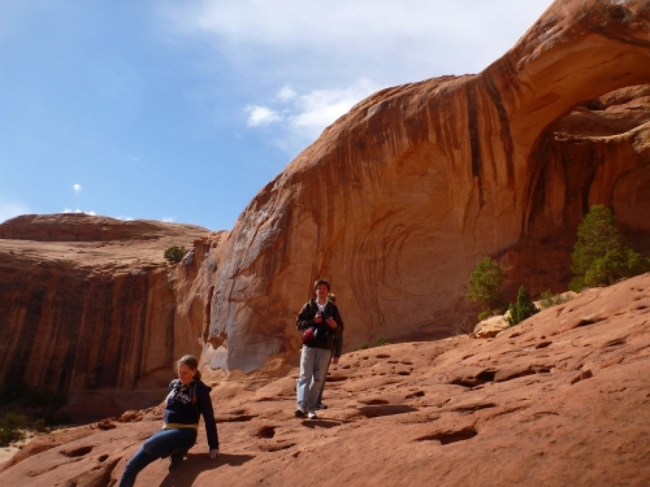
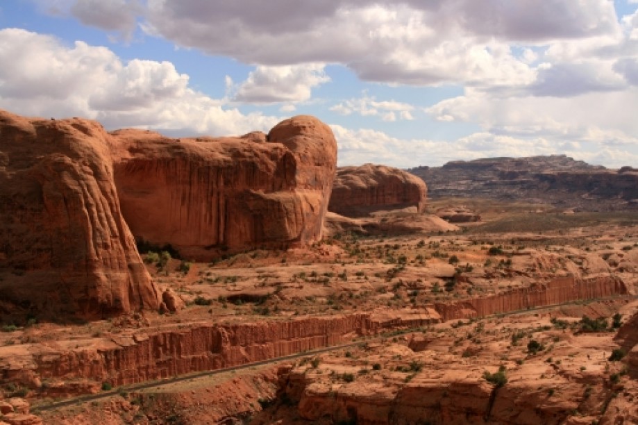
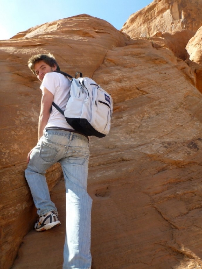
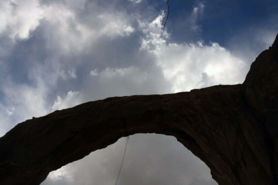
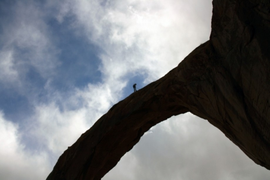
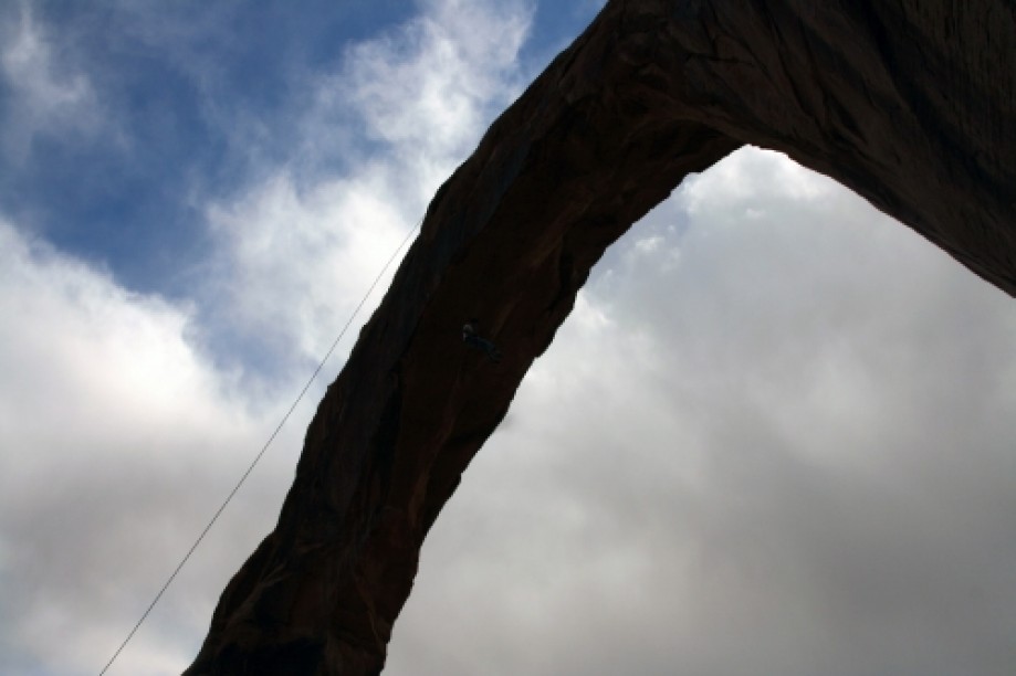
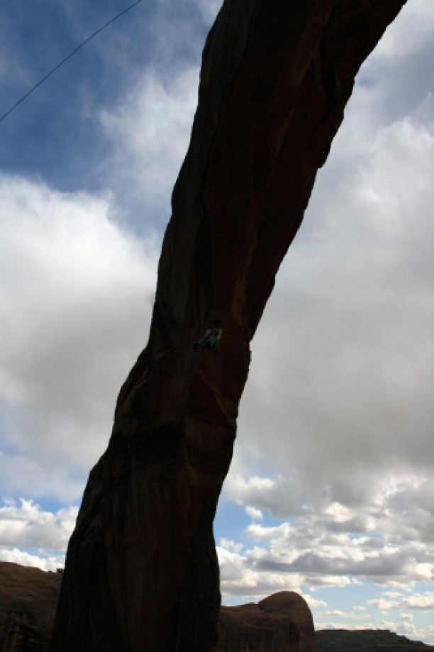
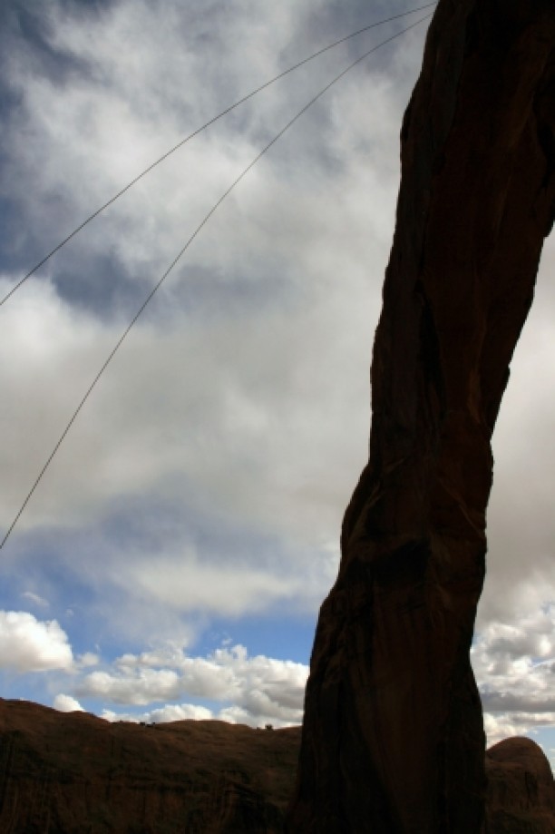
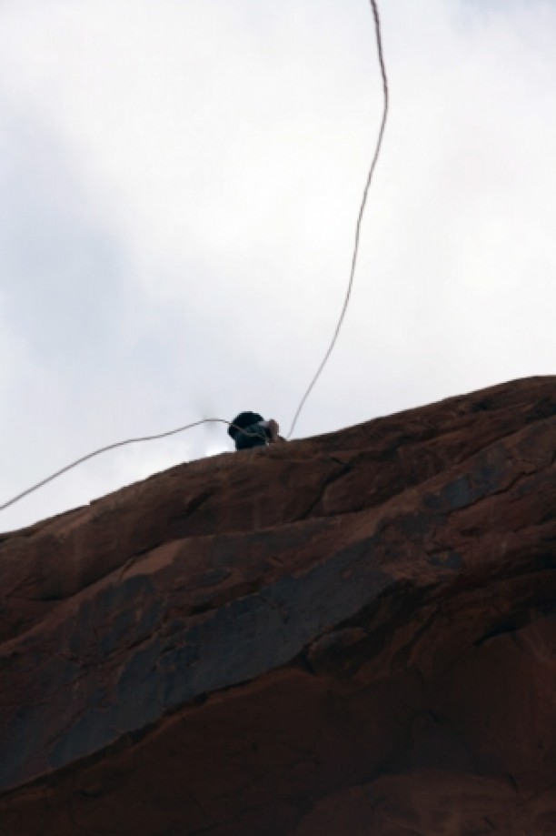
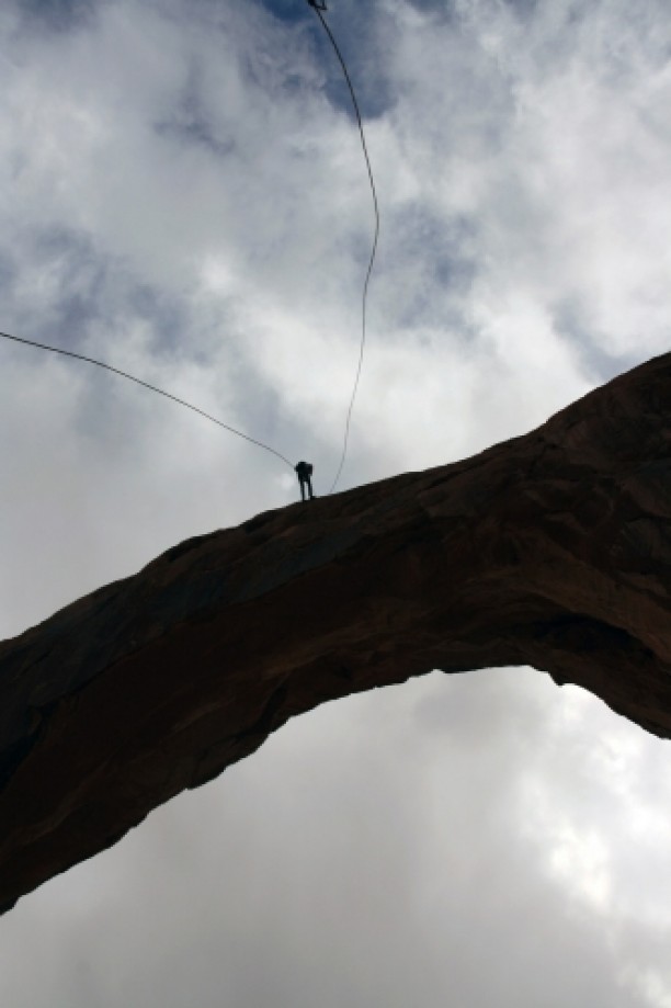
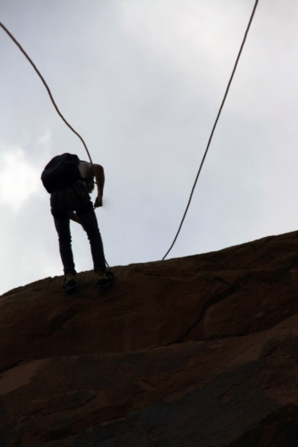
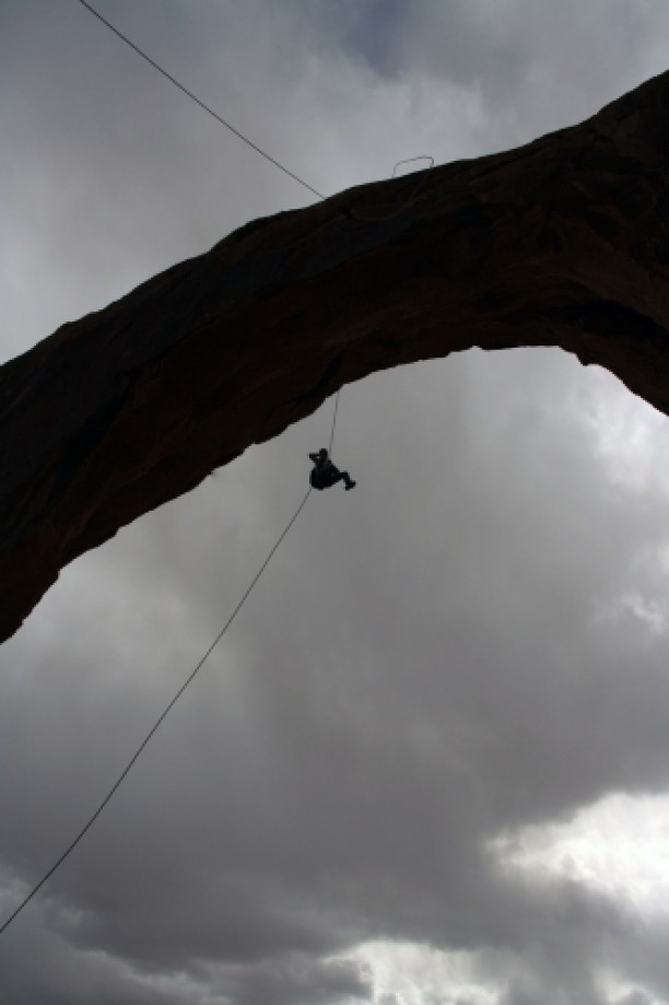
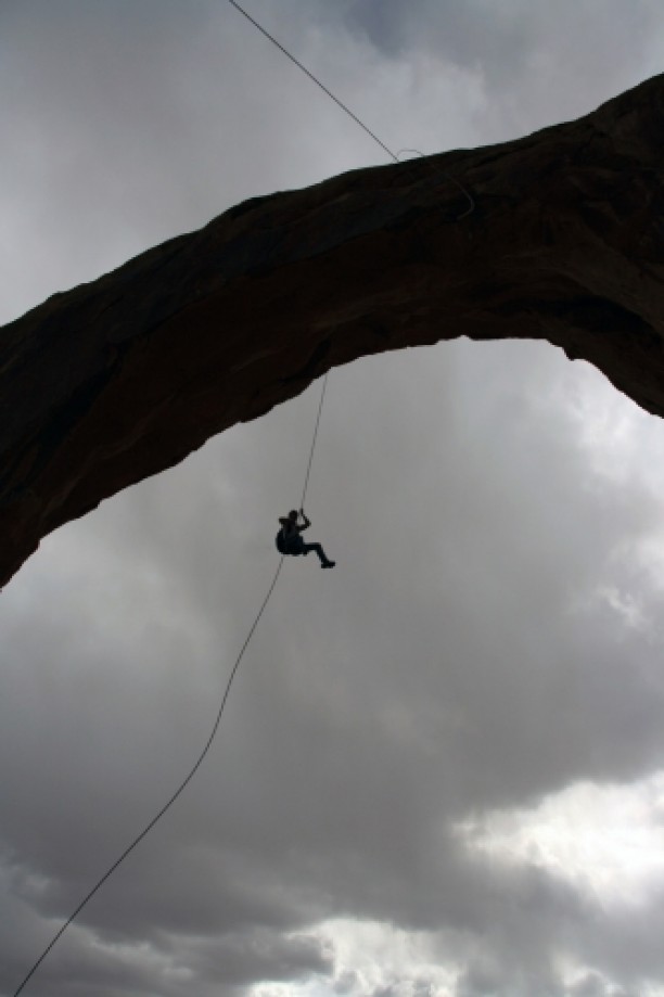
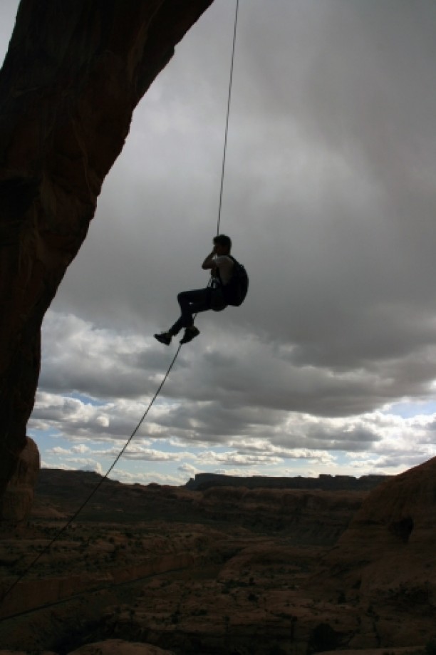
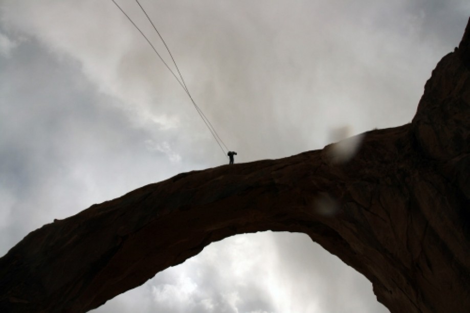
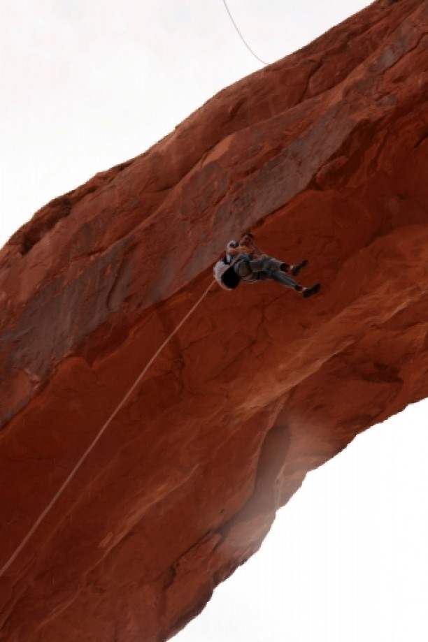
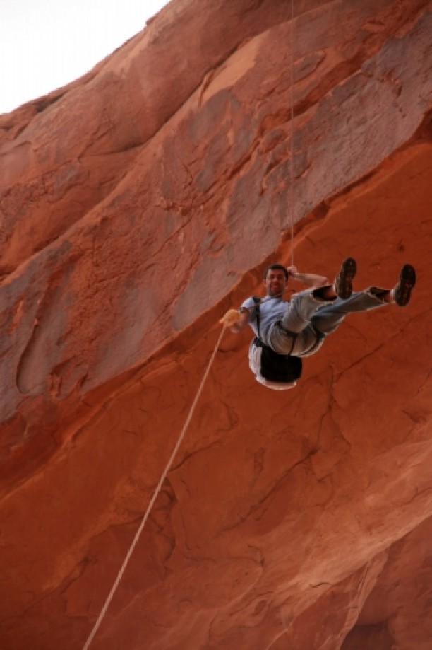
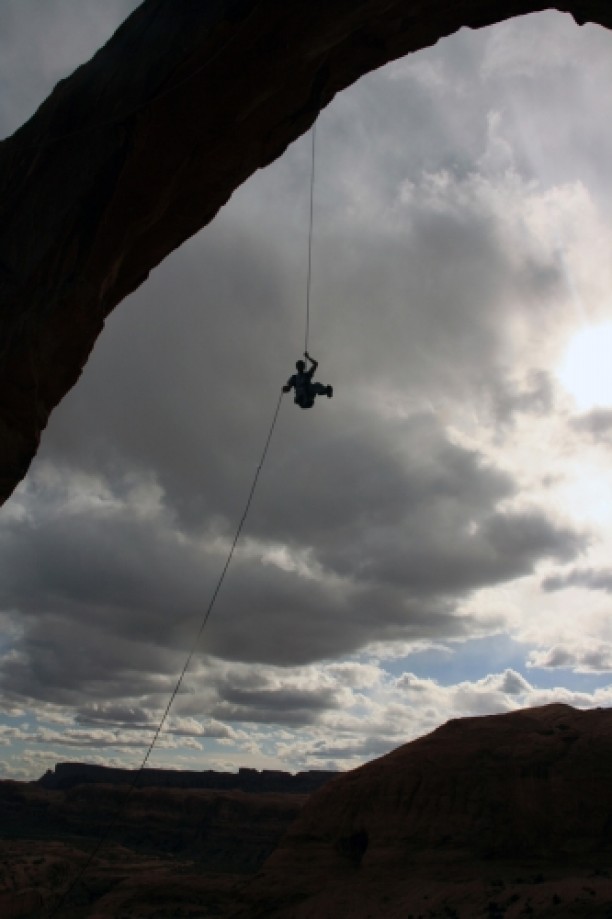
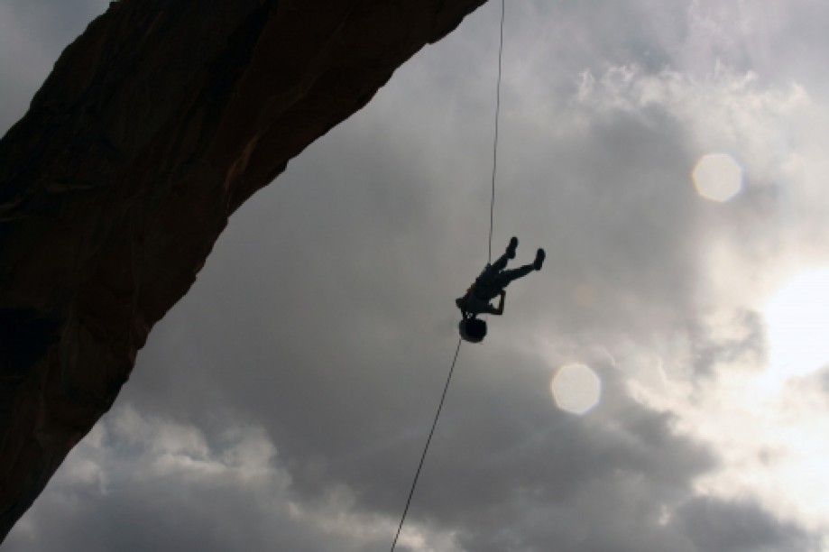
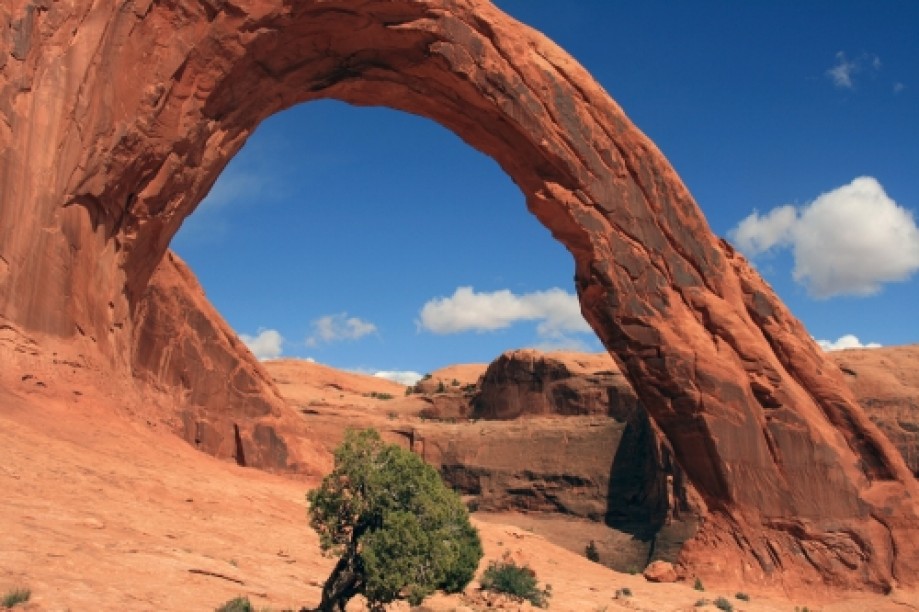
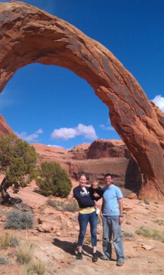
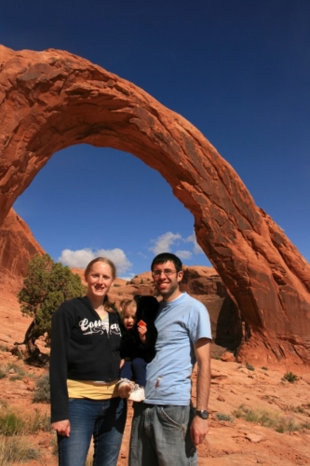
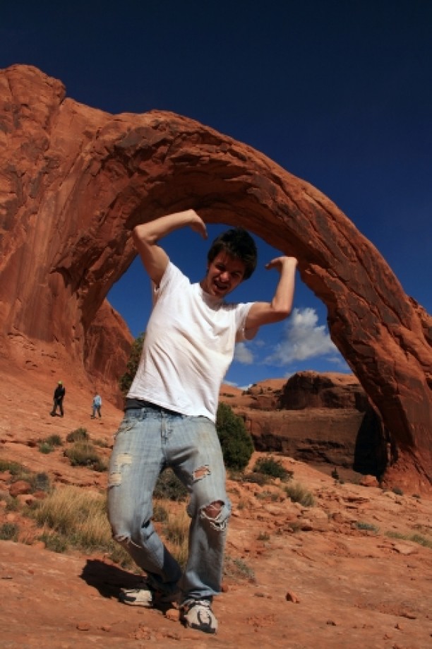
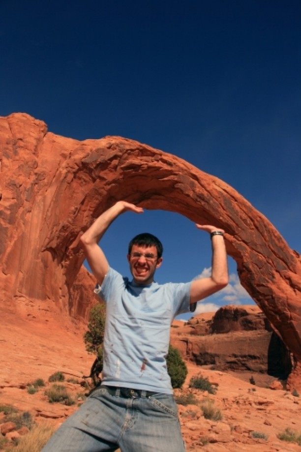
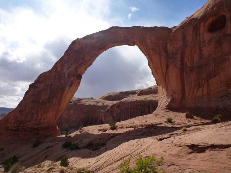
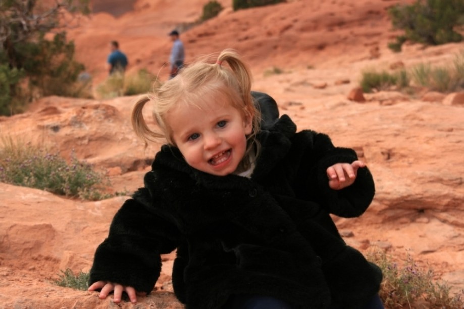
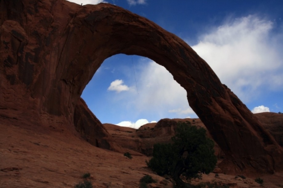
Corona Arch is a large sandstone arch located west of Moab, UT on BLM land. The arch is approximately 140 feet wide by 105 feet tall. The trail to Corona Arch also passes Bow Tie Arch.On the 1985 USGS topo map (7.5' Moab quadrangle), Corona Arch is labeled as Little Rainbow Bridge.The trail starts across Highway 279 from Gold Bar Camping Area at GPS coordinates: 38°34'29.35"N, 109°37'57.07"W. There is a fairly large parking area. A short distance up the trail is a trail register.Then you'll cross the railroad tracks going up Bootlegger Canyon.A gringoglyph of an alien.It sprinkled a little bit while we were hiking, so Tara put my coat over sleeping Savannah.Some interesting miniature sandstone caves.Once you round the bend at 38°34'42.38"N, 109°37'21.57"W, you can see Bow Tie Arch to the north. The trail goes right along the base of the arch.This is perhaps the most difficult part of the trail, although it's still quite easy. There are several Moki Steps climb with the help of a cable handrail.There is also a small ladder to help people get up a small ledge. When we went, there were a bunch of slow people at the ladder, so we just climbed the rock to the side of the ladder, baby backpack and all.From here, you can get a good view of both Corona Arch (on the right) and Bow Tie Arch (on the left)The trail then continues past the base of Bow Tie Arch (38°34'50.41"N, 109°37'18.10"W).This is a view of Bootlegger Canyon from above.Pregnant Tara hiking like a pro. (Also Zac and Bryce.)The trail ends at Corona Arch (38°34'47.64"N, 109°37'11.70"W).Jeremy, Tara, and Savannah in front of Corona Arch.Zac lifting up Corona Arch.Jeremy lifting up Corona Arch.From here, Tara and Savannah stayed under the arch while Zac, Bryce, and I went on to rappel off the arch.We passed under the arch.Then we climbed up the cliff to the east of the arch. This part was pretty sketchy. There are Moki steps up the cliff, but it's quite steep, and there's a drop-off of approximately 300 feet to the right.In the picture below, you can just barely make out the rope that we're lowering down the middle of the arch. The information that we had (http://climb-utah.com/Moab/corona.htm) said that the rappel was 140 feet long and that we would need two, 150-foot ropes or one, 300-foot rope. We ended up using a 75-meter (246 ft) rope and a 70-foot paracord pull cord with a 15-foot piece of webbing on the end to give it some weight. That gave us a total rope length of about 320 feet after knots.We threaded one end of the rope through the chains, tied a stopper knot, then began lowering the rope down. There were two problems though. The first was that we couldn't see the ground below us, so we couldn't tell when the rope reached the ground. The second was that the wind was blowing so hard that the rope didn't go straight down; it went something like straight sideways.We were trying to ask Tara if our rope was long enough, but we couldn't hear her because of the wind. So we let out a good amount of rope and set a knot block. Zac was the first one over the edge.Zac rappelling off Corona Arch.Bryce soon followed.Bryce rappelling off Corona Arch.I came down last.Jeremy rappelling off Corona Arch.It turns out we had plenty of rope. Quite a bit extra actually. I'm not sure exactly what the bare minimum is, but 300' is plenty.Some pretty pictures from the return hike:
This trip report is from:
http://dyeclan.com/outdooractivities/hiking/coronaarch/
Other trips at: http://dyeclan.com/outdooractivities/
This trip report is from:
http://dyeclan.com/outdooractivities/hiking/coronaarch/
Other trips at: http://dyeclan.com/outdooractivities/